Ole Cease Connection

Total Miles1.1
Technical Rating
2Easy
Best TimeSpring, Summer, Fall
Trail TypeFull-Width Road
Accessible By
Open Trail Map

Trail Overview

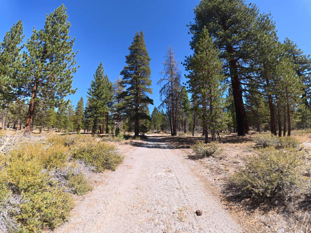
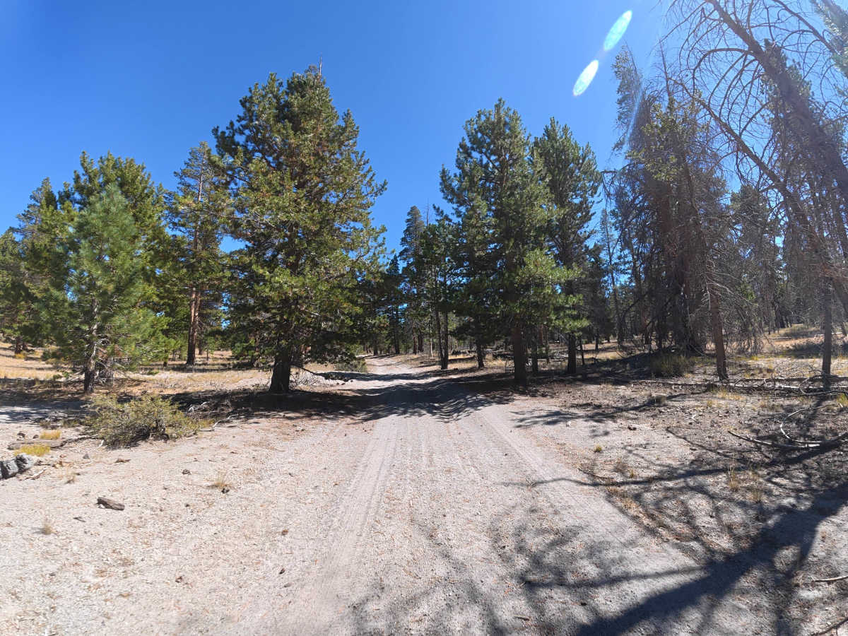
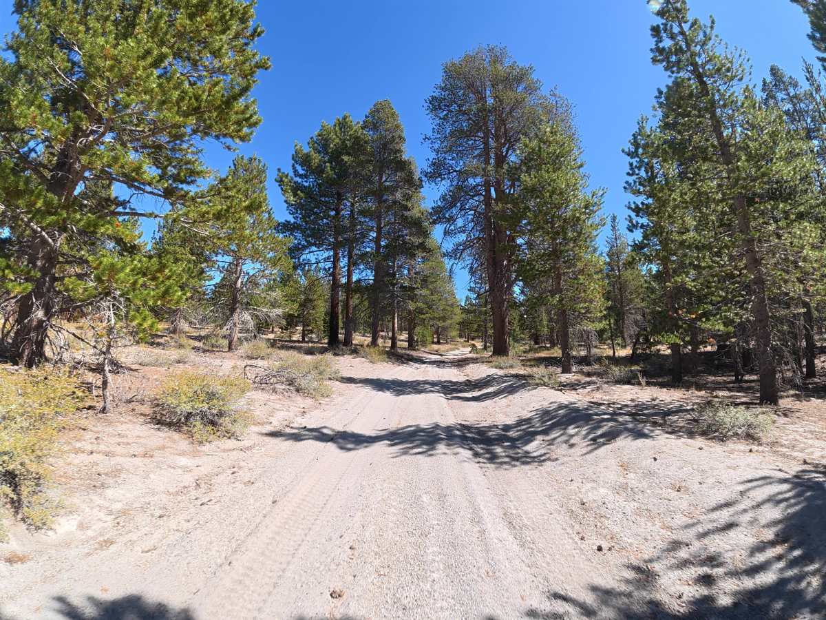
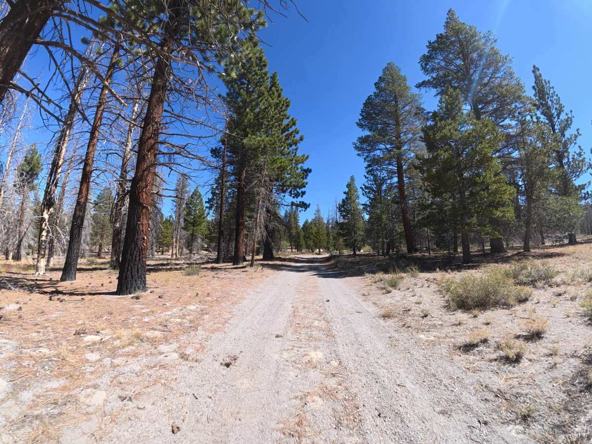
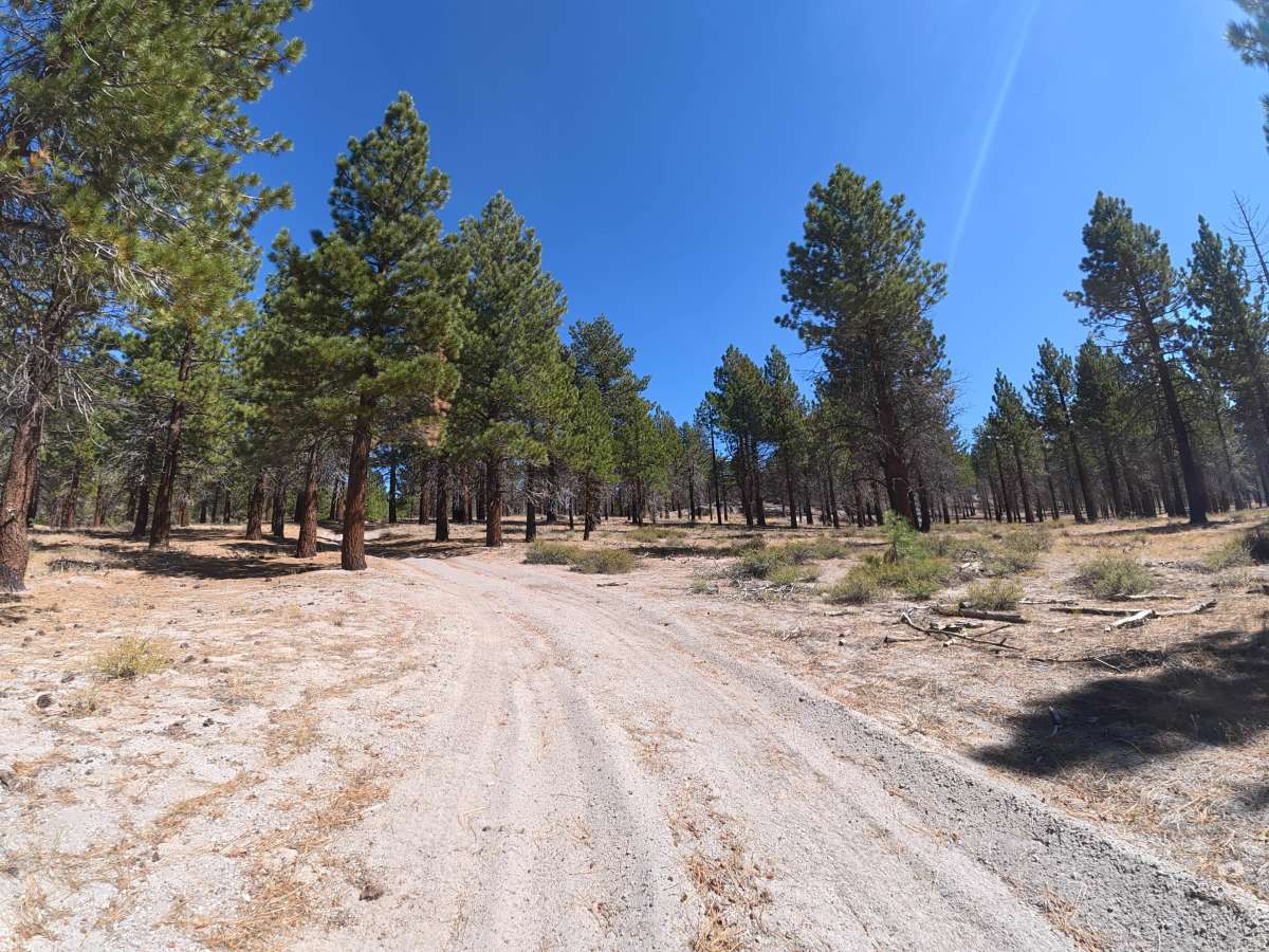
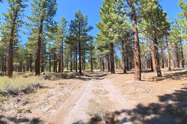
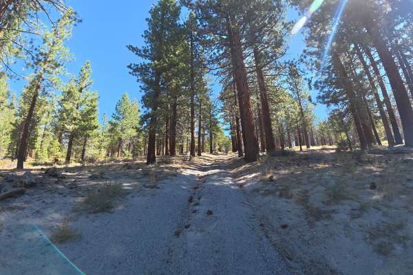
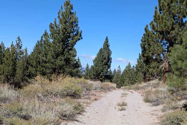
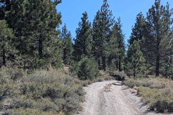
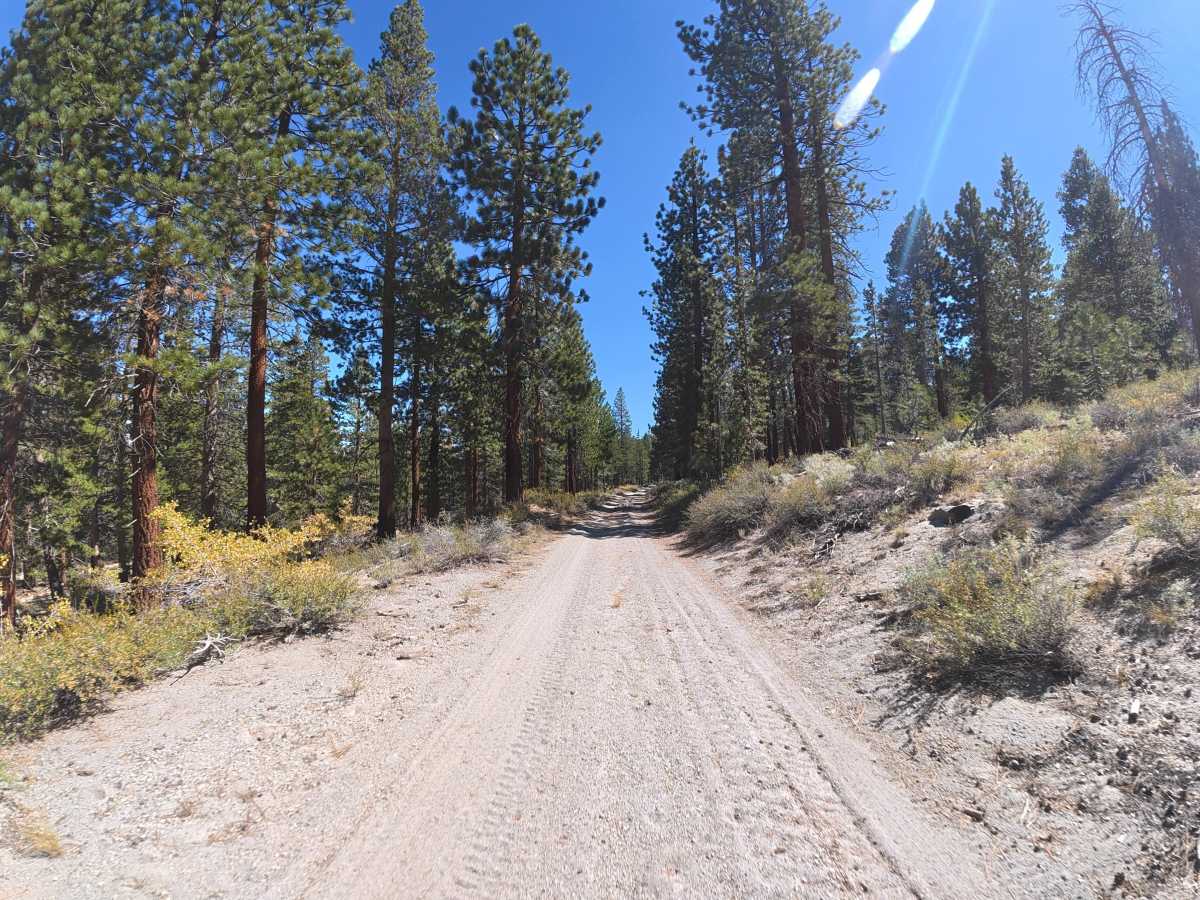
This fine-dirt trail serves as a connector between several trails in the area. The route begins with a hill climb and ruts no deeper than 4 inches. Several sections become narrow with overgrown vegetation, branches, and tight trees, making pinstriping likely. Camping is plentiful throughout, with level, shaded campsites ranging from smaller sites for two vehicles to larger areas accommodating up to 10 vehicles. The fine-dirt surface can become considerably more difficult when wet.

Photos of Ole Cease Connection

Difficulty

This trail is rated Level 2 because of the minor ruts, hill climb, narrow sections, and overgrown vegetation. There are no significant obstacles, although pinstriping is likely.

History

Inyo National Forest was established in 1907 and today protects a vast section of the Eastern Sierra surrounding Mammoth Lakes. The area has a long history of Native American use, mining, ranching, and recreation, while its dramatic landscape was shaped by volcanic activity, glaciers, and the uplift of the Sierra Nevada.

Technical Rating

2

Ole Cease Connection Trail can be accessed by the following ride types:

  • Single Track
  • 50 Inch
  • 60 Inch
  • High Clearance
  • Full Width

Ole Cease Connection Map

The onX Offroad Difference

onX Offroad combines trail photos, descriptions, difficulty ratings, width restrictions, seasonality, and more in a user-friendly interface. Available on all devices, with offline access and full compatibility with CarPlay and Android Auto. Discover what you're missing today!

Open Trail Map