Trail Overview
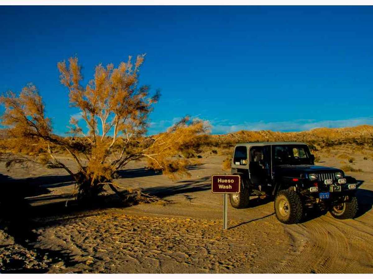
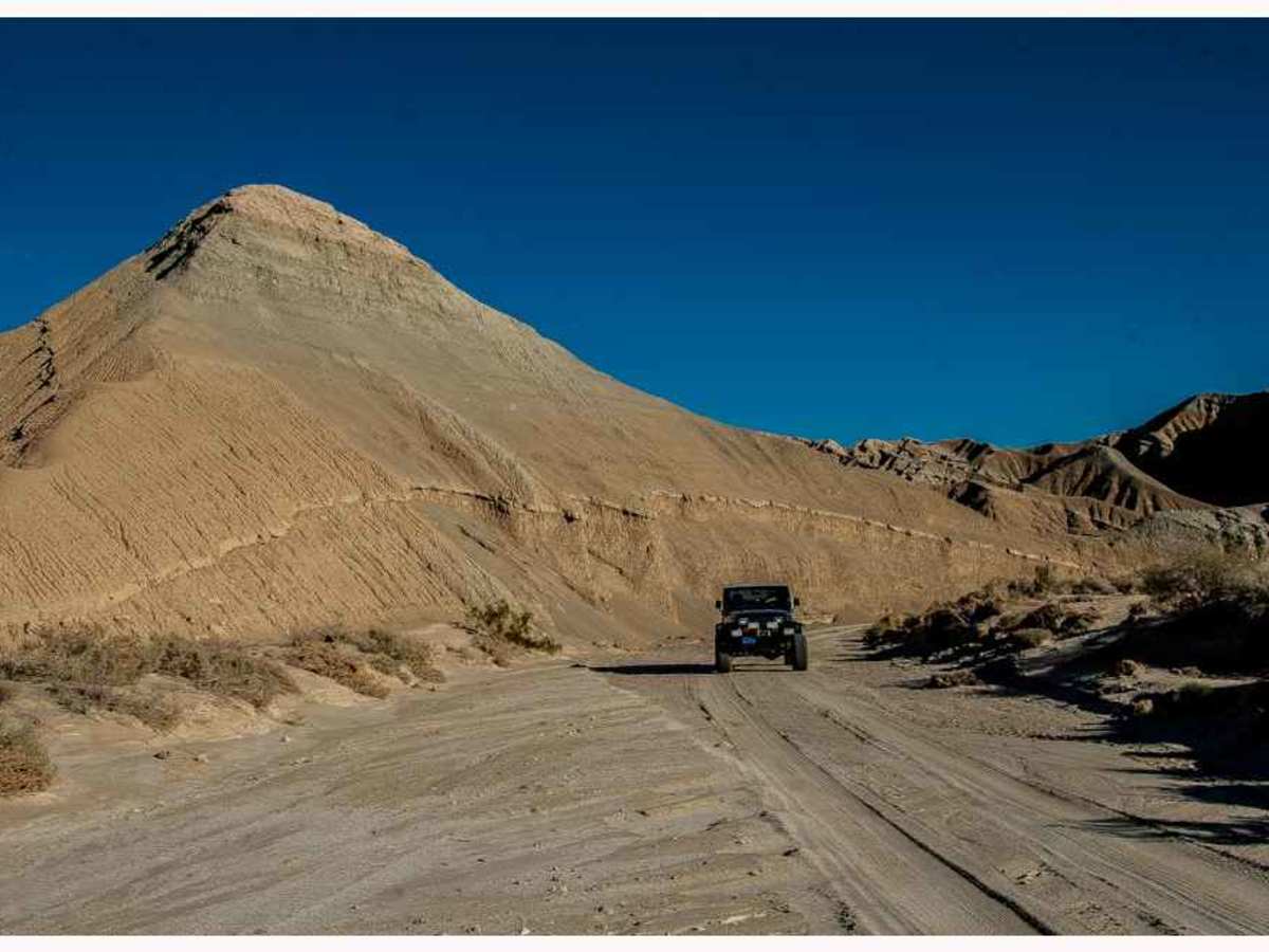
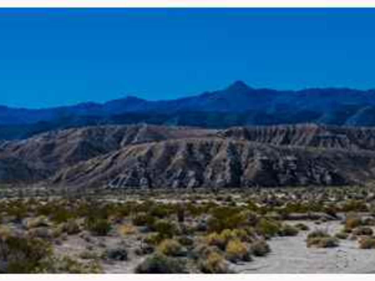
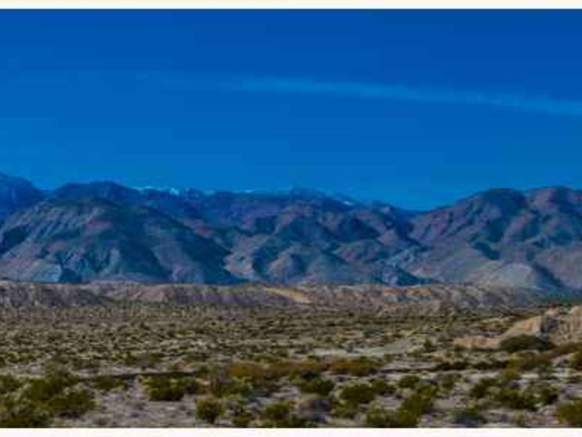
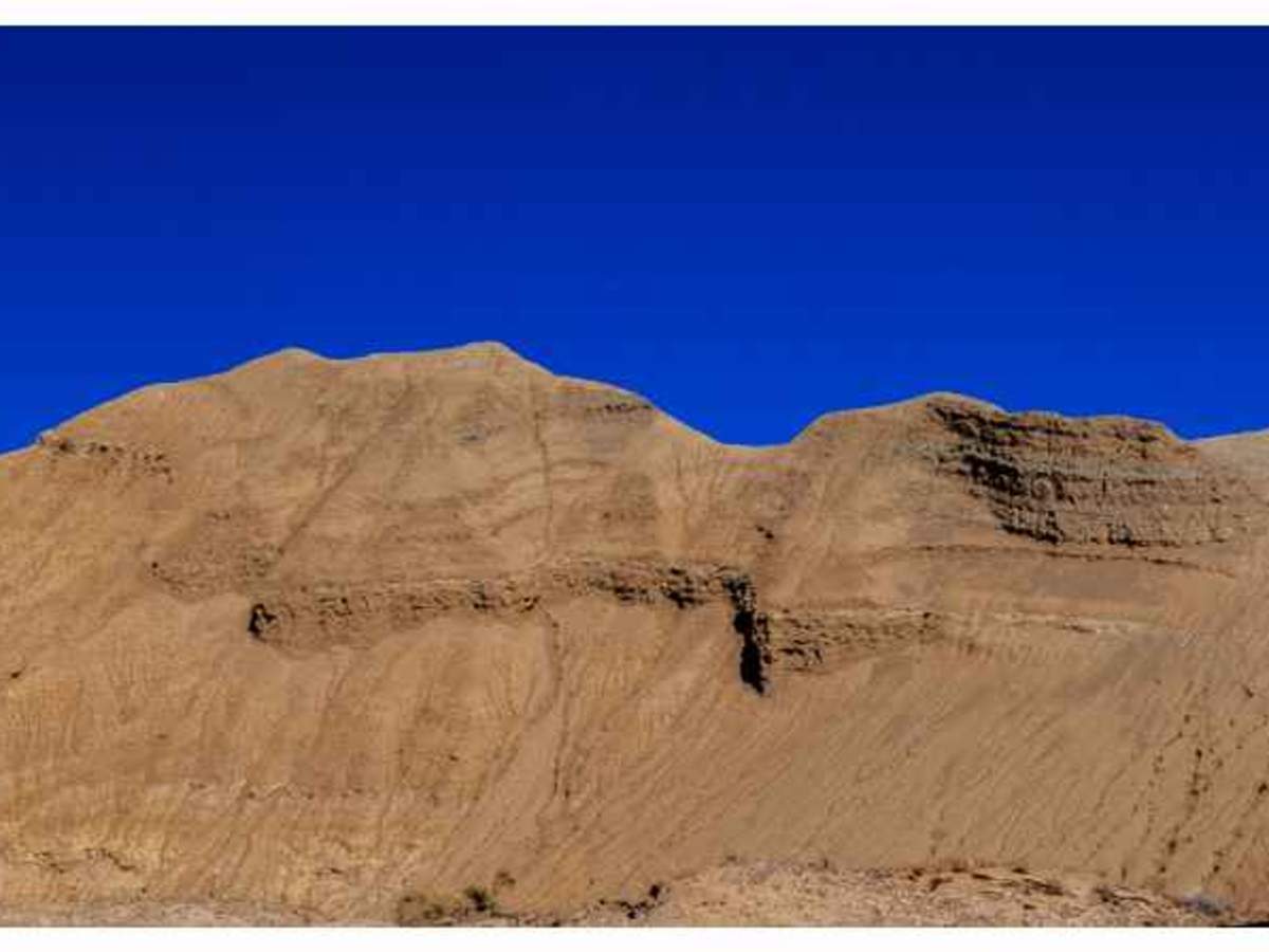
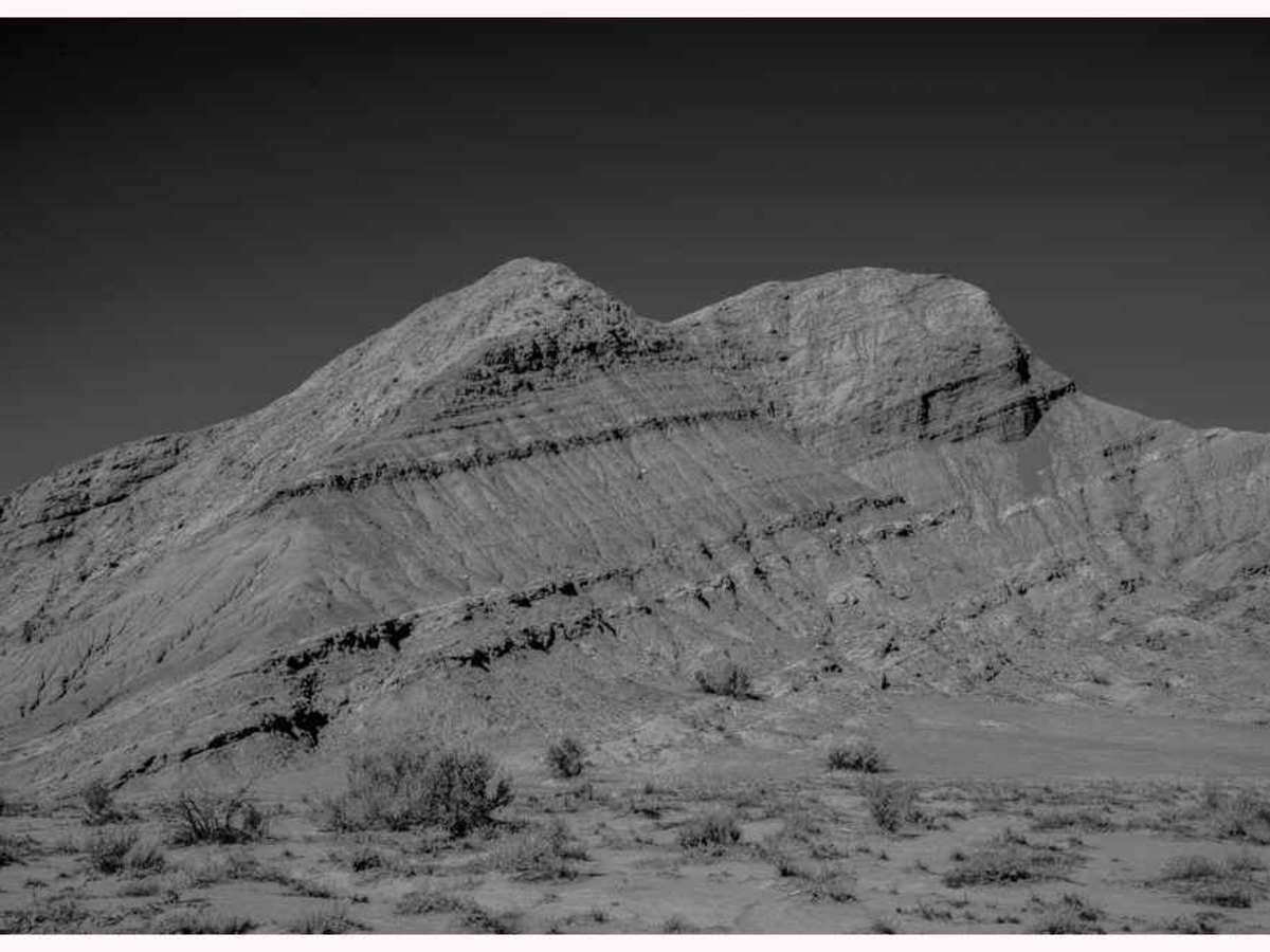
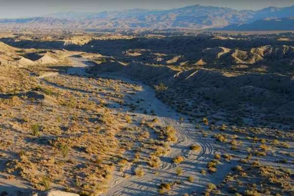
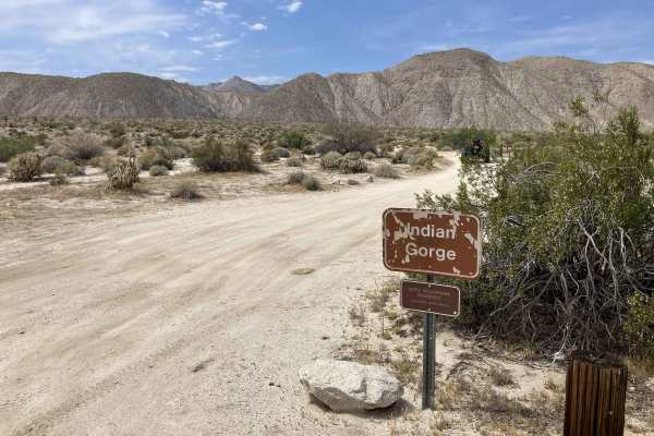
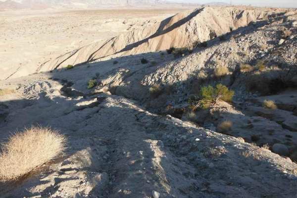
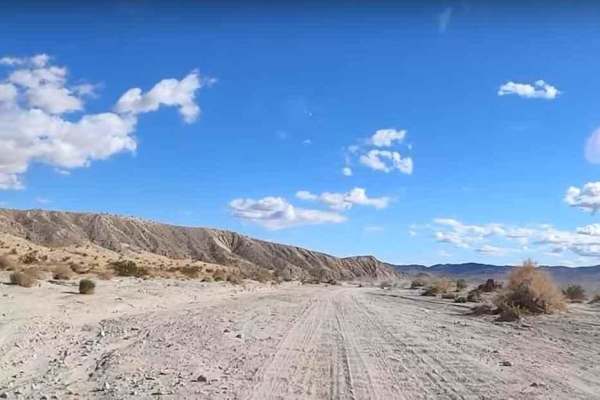
Arroyo Hueso, also known as Hueso Wash, is a scenic trail located within Anza Borrego State Park. The trail’s name is derived from the Spanish word “hueso,” meaning bone. The trail offers a moderate difficulty level, spanning 5.9 miles in an out-and-back loop. The terrain is predominantly soft sand interspersed with occasional rocky outcrops. However, during inclement weather, particularly in mountainous regions, the wash can become challenging to navigate. The trail begins with breathtaking panoramic views of Anza Borrego, gradually winding through towering sandstone walls. This creates a picturesque setting that provides ample opportunities for photography throughout the day, as the changing light enhances the textures of the landscapes. At the trail’s conclusion, a sign from Anza Borrego State Park marks the end with a "RESTRICTED AREA" warning and two barrier poles. It is crucial to adhere to these signs to ensure the preservation of the park’s natural beauty and prevent the closure of additional trails. Hiking past the sign, visitors can connect with other washes within the park. The trail’s end features a secluded campsite with ample space for three vehicles. The trail is accessible to all street-legal four-wheel-drive vehicles and motorcycles.