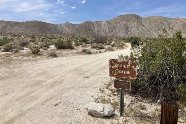
Trail Overview
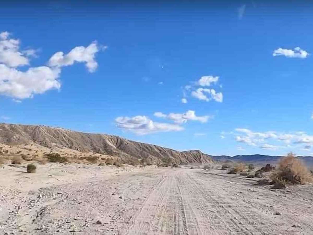
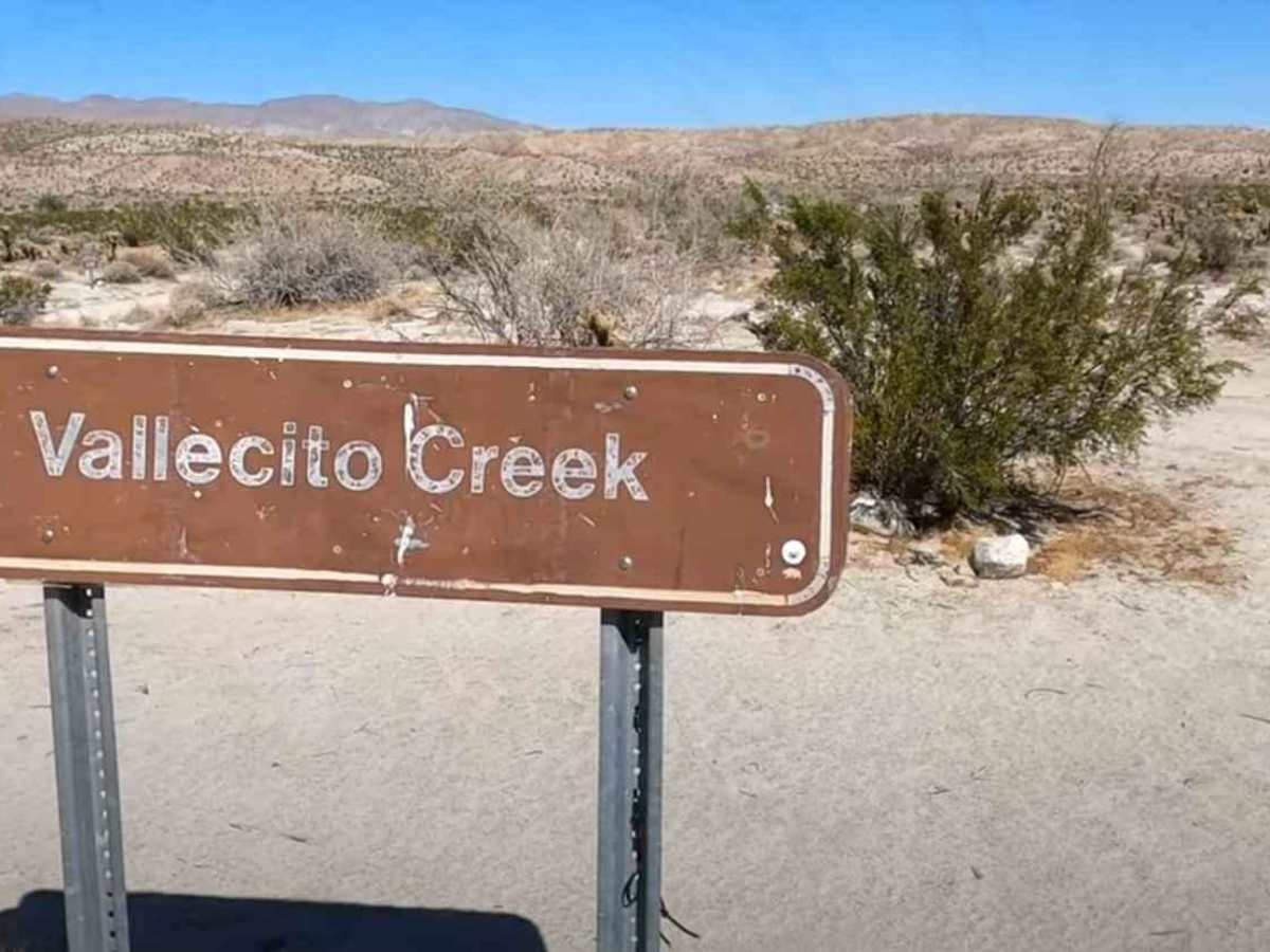
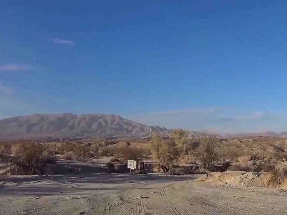
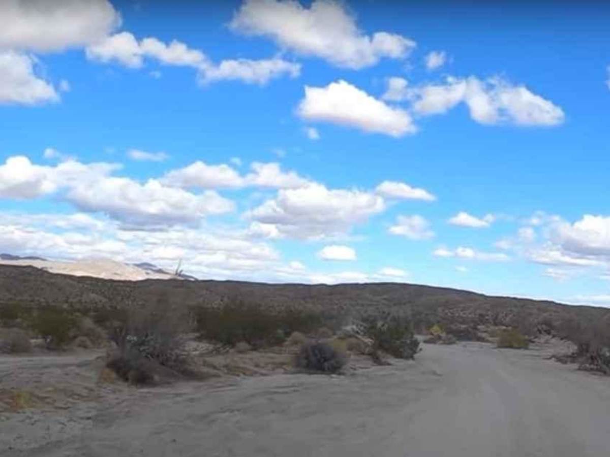
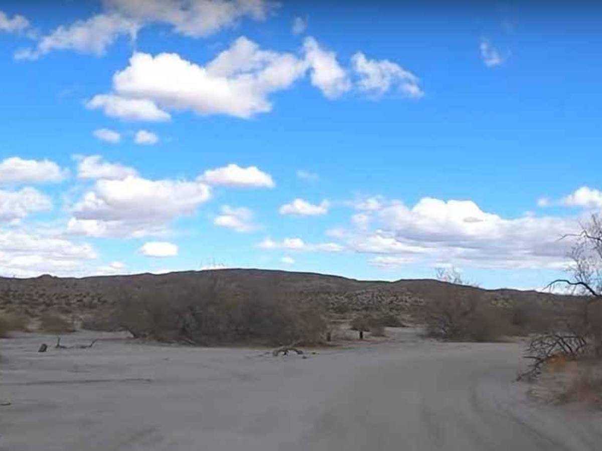
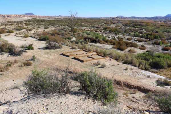
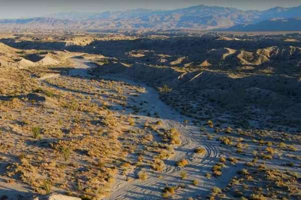
Vallecito Creek Road is a 5.9-mile point-to-point trail rated 3 of 10 located within the California Anza-Borrego Desert State Park (ABDSP). For thousands of years, the course of the Vallecito Wash has been a refuge and trail for many native and immigrant Americans. Generations of Kumeyaay people camped along the creek, and early explorers followed the creek as part of the Southern Immigrant Route to the Pacific Ocean. The trailhead is located at the intersection with State Route 2 and ends at Arroyo Seco del Diablo. Along the way, the trail connects with View of the Badlands, Arroyo Heuso, and Arroyo Tapiado. Vallecito Creek is the major water collection route in this section of the Badlands. The wash is wide and consists of hard pack and loose sand. Vallecito Creek Road was part of the Southern Overland Trail and today it provides an immersive offroad experience as one of the primary access points into the lower desert along the edge of the Carrizo Badlands. Vallecito Wash is a track with a sandy base. The wash is the main water flow collection area for this region, flowing into Carrizo Creek and eventually out to the Salton Sea. Depending upon the time of year this can be one of the busier trails within the State Park, as it provides access to the Tapiado Mud Caves, the Diablo Drop, and the Carrizo Station. Cell service may be available while close to SR2, but don't count on it. The nearest services are located in Borrego Springs to the north and El Centro to the east.
Difficulty
The trail consists of loose rocks, dirt, and sand with some slick rock surfaces and mud holes possible. No steps are higher than 12 inches. 4WD may be required, and aggressive tires are a plus.
History
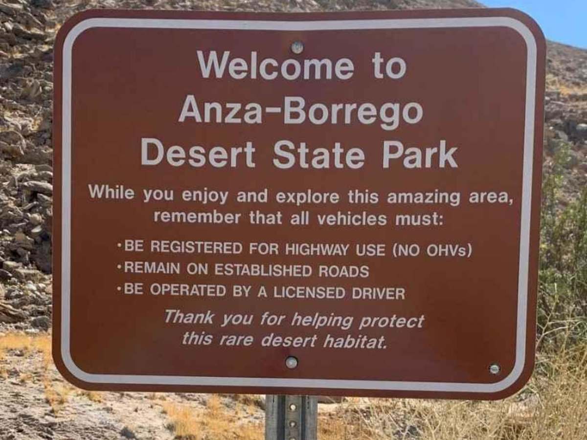
Anza-Borrego Desert State Park is a California State Park located within the Colorado Desert of southern California, United States. The park takes its name from 18th-century Spanish explorer Juan Bautista de Anza and the Spanish word borrego, which literally means "lamb" but is also used to describe the desert bighorn sheep. With nearly 600,000 acres, it is the largest state park in California as well as the 48 contiguous states. The park has varied topography that includes dry lake beds, badlands, and mountains that rise above 5,500 feet (1,675 meters). Two-thirds of the park's area is designated as wilderness, and cactus, yucca, and ocotillo are abundant throughout. Among the park's attractions are groves of California fan palms and a profusion of wildflowers that bloom in mid-to-late winter. Deer, kit foxes, iguanas, rattlesnakes, roadrunners, eagles, and the endangered desert bighorn sheep are all found within the park.