Trail Overview
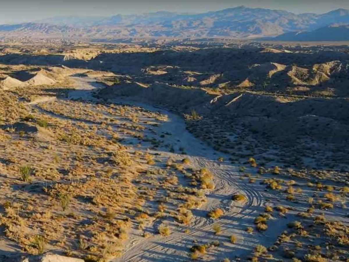
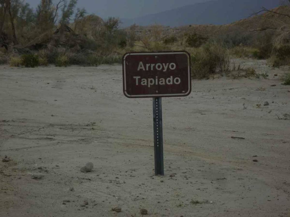
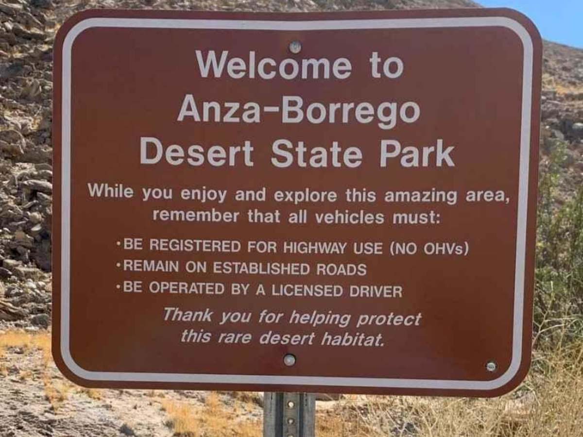
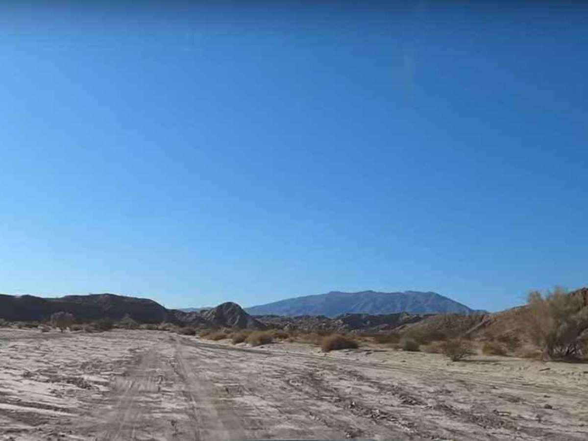
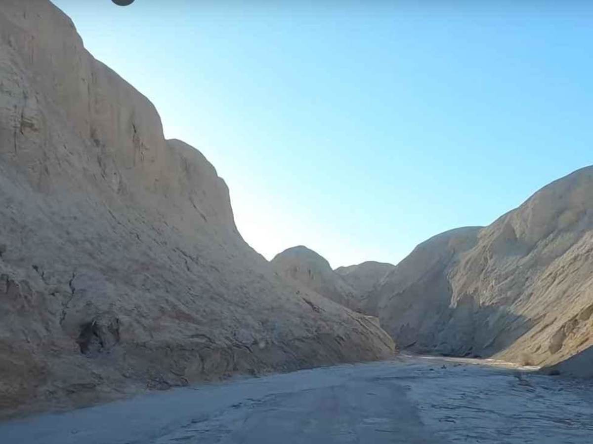
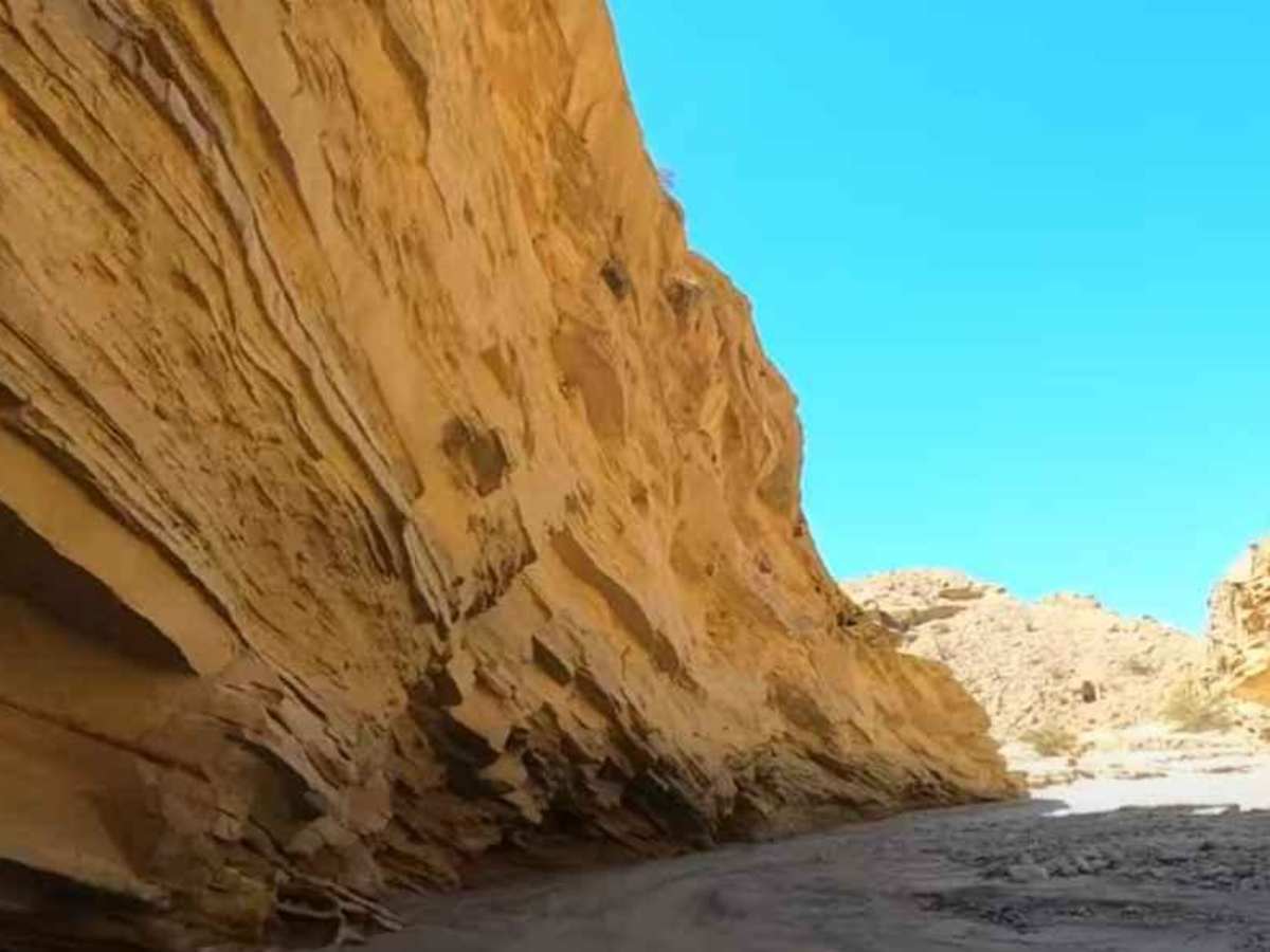
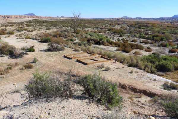
Arroyo Tapiado Trail is a 9.1-mile point-to-point trail rated 3 of 10 located in located within the California Anza-Borrego Desert State Park (ABDSP). Trails within the ABDSP are restricted to street-legal vehicles. Arroyo Tapiado is one of the most visited washes within the ABDSP. The wash itself provides amazing scenery. The trail consists of sand and hard-packed dirt with canyon walls rising 40 to 80 feet above. One of the most fascinating aspects of the trail is the system of caves known as the Arroyo Tapiado Mud Caves. Arroyo Tapiado translated from Spanish means "walled wash." One of the most extensive mud cave systems in the world, the wash contains 22 known caves and 9 slot canyons. The mud caves are found along the walls of this wash canyon and the length of the caves varies, with some extending over 1,000 feet and featuring ceilings as high as 80 feet. Caves have been reported up to 35 feet wide, while others are so narrow that you have to squeeze through openings. The trail starts on the south end at the intersection with Canyon Sin Nombre. After passing the mud caves at approximately 6.8 miles, the trail forks. The main trail continues straight and the Tapiado-Diablo Cut Across rises out of the wash. Continuing straight the wash widens and flattens out until the washes end. Some of the best remote camping is found at this end of the arroyo. Warning: These caves can be dangerous. The primary danger is walking on top of the mud and falling into a pocket or chute. A secondary danger is having an unstable roof or wall collapse. Cell phone service is available near the trailhead but not beyond. The nearest services are located in Borrego Springs.
Difficulty
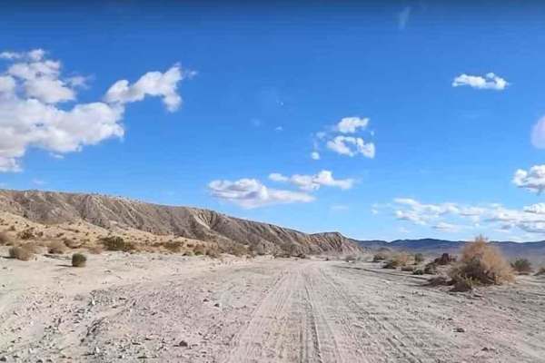
The trail consists of loose rocks, dirt, and sand with some slick rock surfaces and mud holes possible. No steps are higher than 12 inches. 4WD may be required, and aggressive tires are a plus.
History
Anza-Borrego Desert State Park is a California State Park located within the Colorado Desert of southern California, United States. The park takes its name from 18th-century Spanish explorer Juan Bautista de Anza and the Spanish word borrego, which literally means "lamb" but is also used to describe the desert bighorn sheep. With nearly 600,000 acres, it is the largest state park in California as well as the 48 contiguous states. The park has varied topography that includes dry lake beds, badlands, and mountains that rise above 5,500 feet (1,675 meters). Two-thirds of the park's area is designated as wilderness, and cactus, yucca, and ocotillo are abundant throughout. Among the park's attractions are groves of California fan palms and a profusion of wildflowers that bloom in mid-to-late winter. Deer, kit foxes, iguanas, rattlesnakes, roadrunners, eagles, and the endangered desert bighorn sheep are all found within the park.