Trail Overview
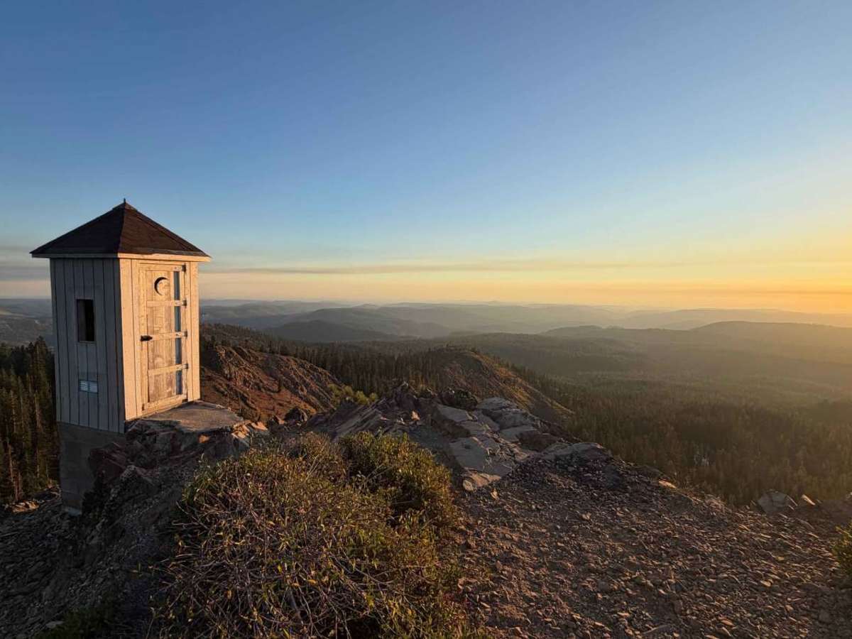
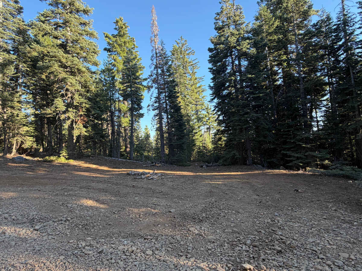
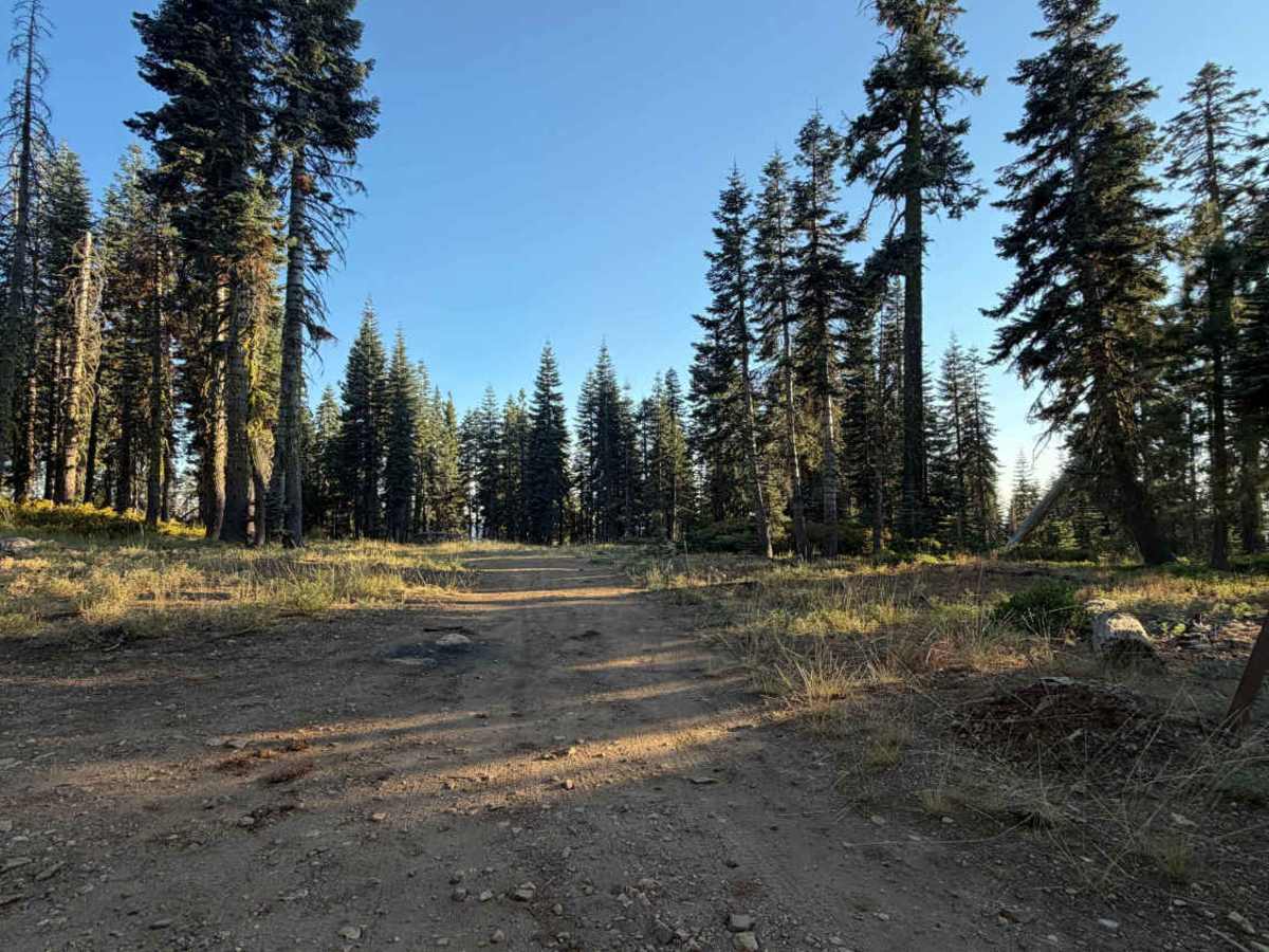
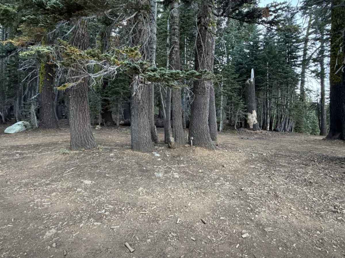
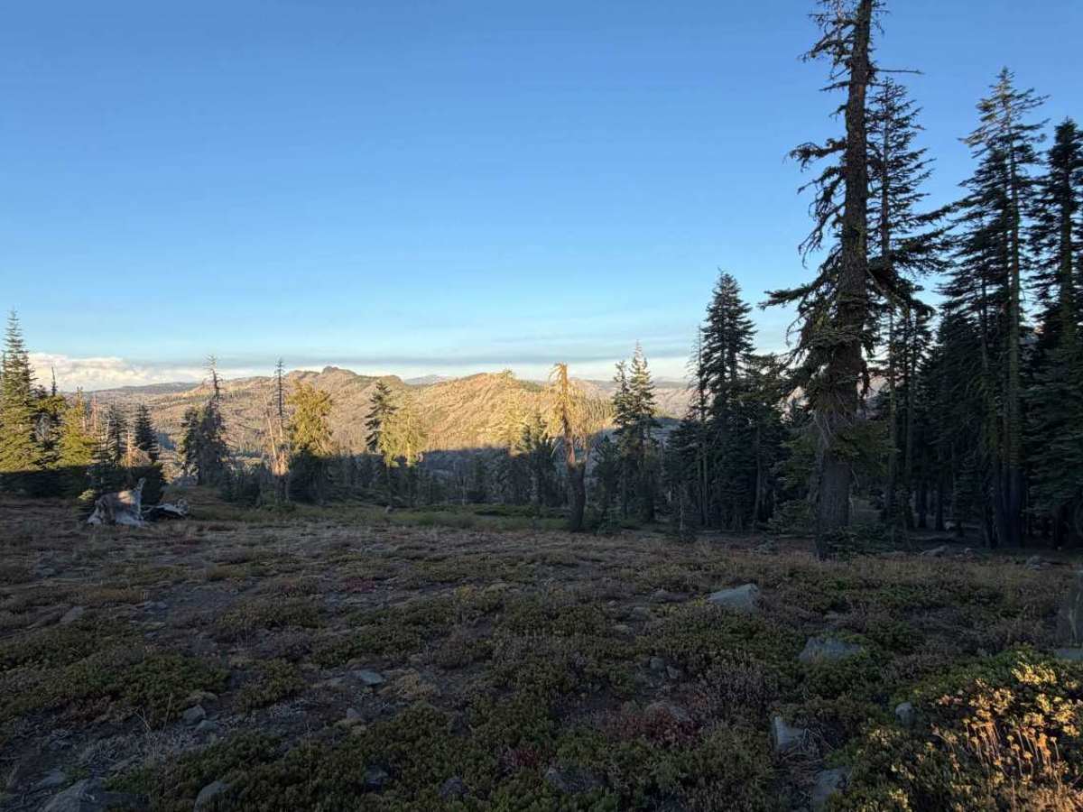
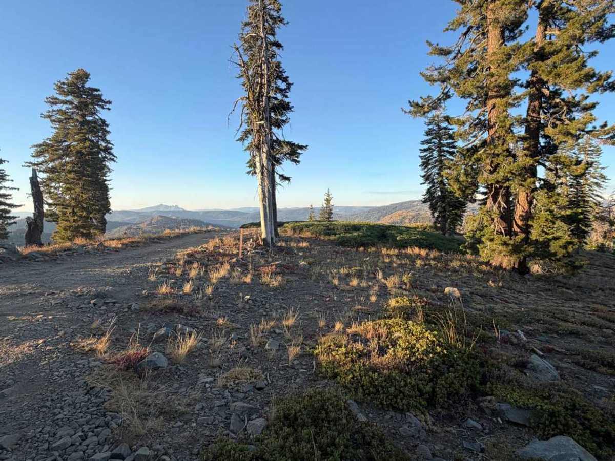
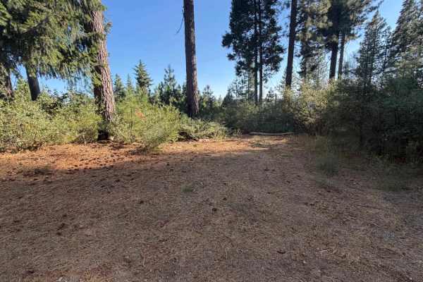
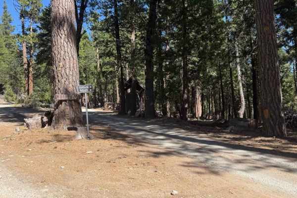
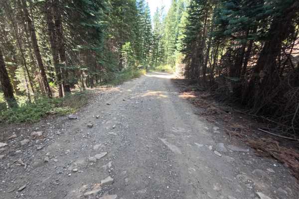
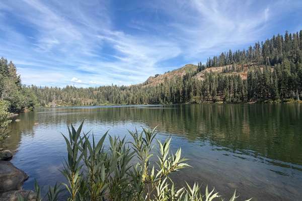
Grouse Ridge Road - FS 14 is a wide dirt spur that branches off Bowman Lake Road in the Yuba River Ranger District of Tahoe National Forest, climbing up onto Grouse Ridge before ending at a historic 1923 fire lookout. The road holds a mostly flat, well-traveled character through the first few miles, passing several dispersed campsites with fire rings along the way, including a large one that opens up to sweeping views across the surrounding hills and ridgelines around 2.7 miles. Past the 3-mile mark, the surface turns consistently rocky and stays that way for the rest of the climb. The final stretch runs along the open ridge itself, threading past more dispersed camp spots, a fork for Grouse Ridge Campground, and a hairpin turn with wide-open views, before a rocky final push reaches the lookout tower and vault toilet at the summit, with 360-degree views in every direction.
Difficulty
Rated a 2, this route stays approachable for most of its length, generally flat and well traveled through the first few miles. What keeps it from a 1 is the consistent rockiness that sets in past 3 miles and continues most of the way to the ridge, along with a genuinely rocky final push to the lookout itself. None of it requires technical placement, just a steady pace and some patience with the washboard and loose rock underfoot.