Blue Lake - FS 18-006

Total Miles1.4
Technical Rating
3Easy
Best TimeSummer, Fall
Trail TypeFull-Width Road
Accessible By
Open Trail Map

Trail Overview

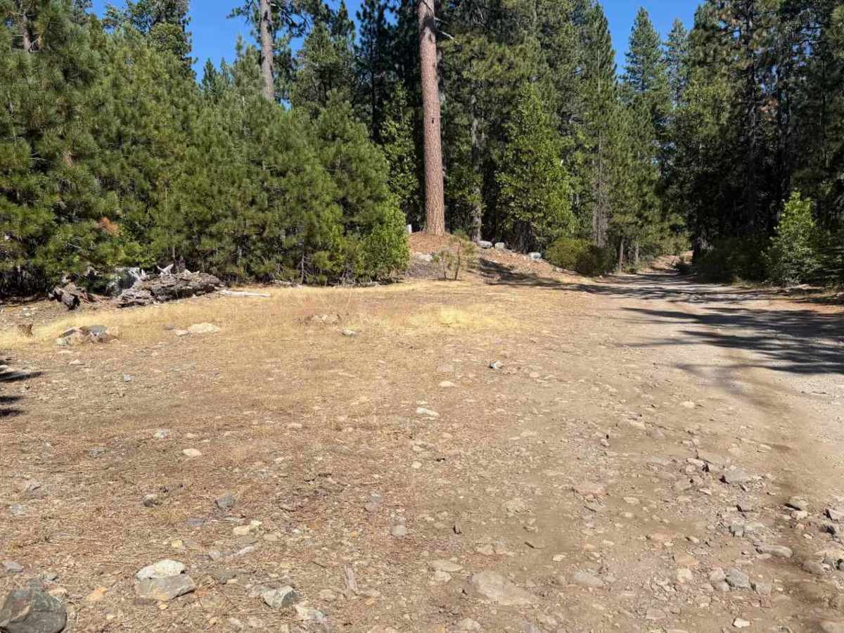
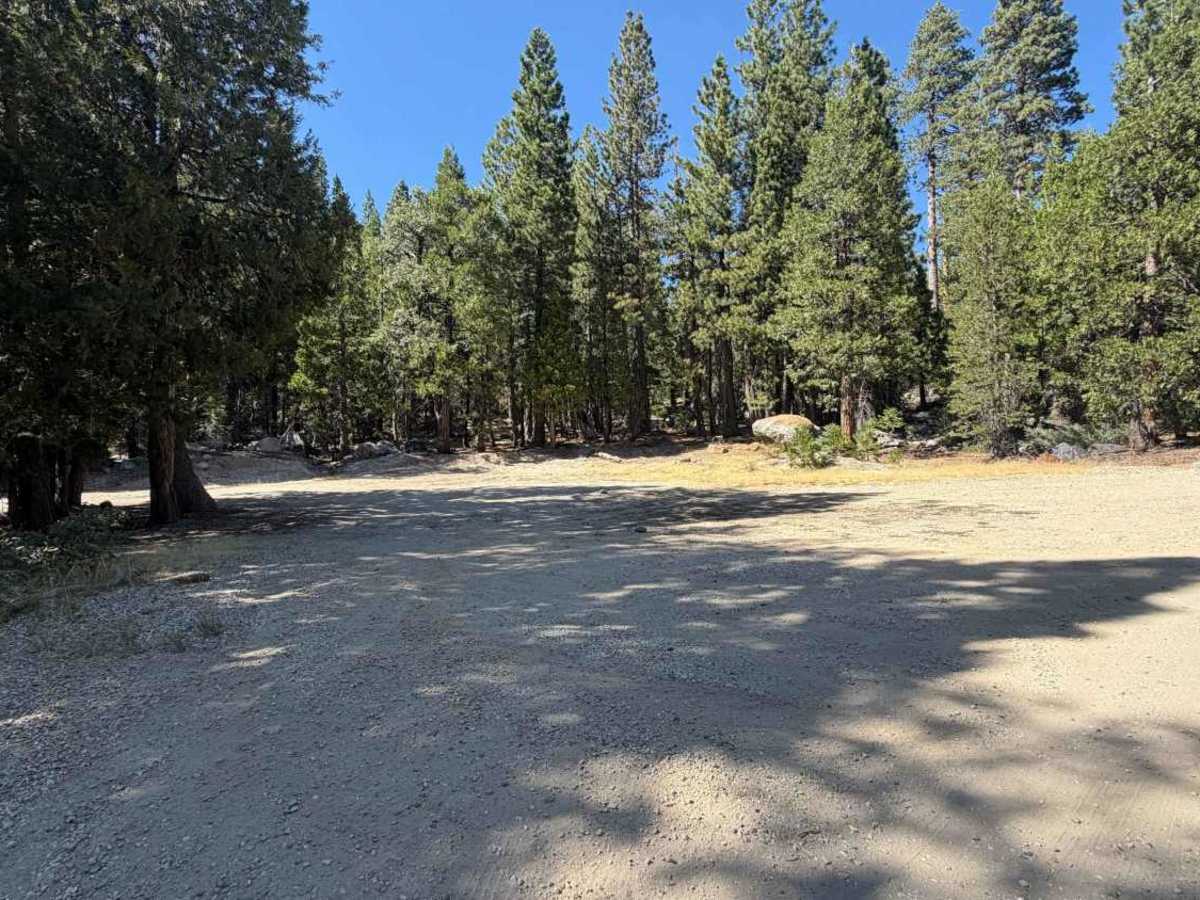
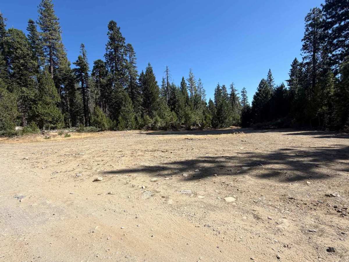
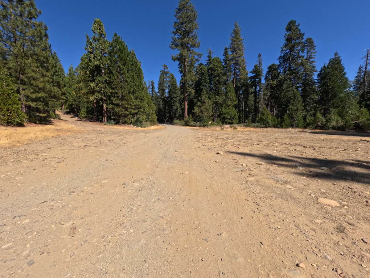
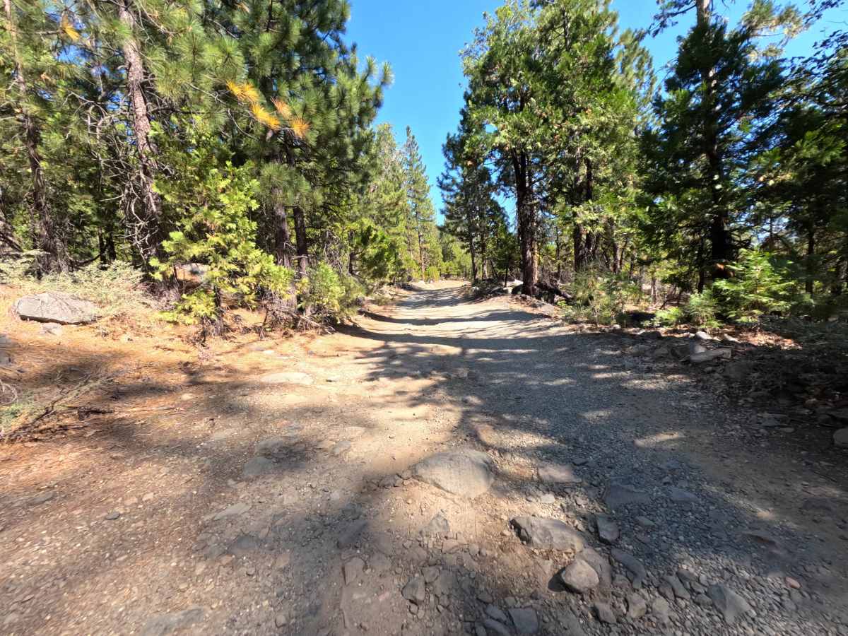
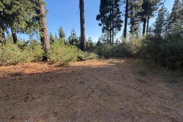
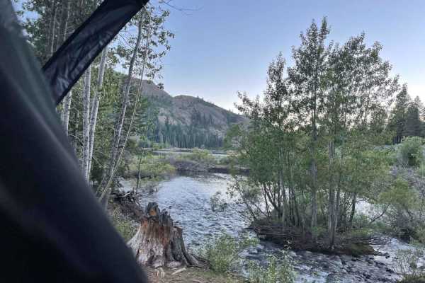
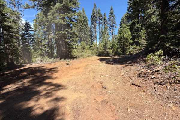
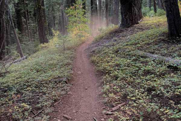
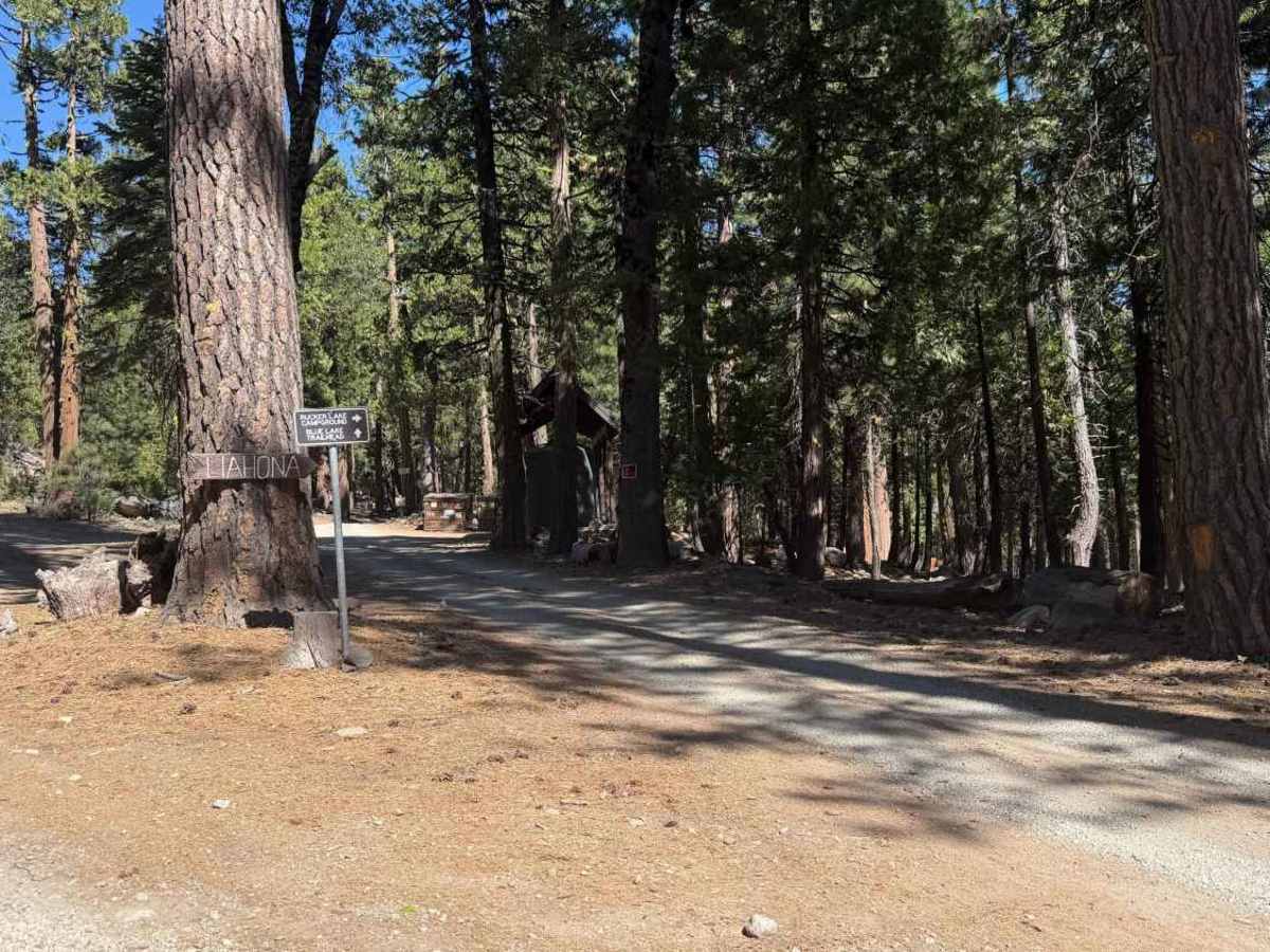
Blue Lake - FS 18-006 is a wide single-track dirt spur that branches off near the Rucker Lake Campground and Blue Lake Trailhead junction in Tahoe National Forest, heading toward the Blue Lake basin. At 0.4 miles, a fork splits the route, staying left continues toward Blue Lake. The trail widens by 0.6 miles but turns noticeably rockier from there on, with embedded rock making the surface uneven. Several open pockets along the way offer room to dispersed camp, including a larger site with a fire ring further in that can hold four to five vehicles. Past 1.2 miles, the trail narrows again and climbs a rocky uphill stretch before reaching a wide turnaround with room to park and reverse course.

Photos of Blue Lake - FS 18-006

Difficulty

Rated a 3, this trail earns its number in the back half. The first stretch to around 0.6 miles is mild, but past that point the surface turns rocky and uneven, with embedded rock obstacles that call for careful line choice and steady clearance. The final uphill push toward the turnaround is the toughest section, though nothing here requires technical placement, just patience and a high-clearance vehicle.

Technical Rating

3

Blue Lake - FS 18-006 Trail can be accessed by the following ride types:

  • High Clearance
  • Full Width

Blue Lake - FS 18-006 Map

The onX Offroad Difference

onX Offroad combines trail photos, descriptions, difficulty ratings, width restrictions, seasonality, and more in a user-friendly interface. Available on all devices, with offline access and full compatibility with CarPlay and Android Auto. Discover what you're missing today!

Open Trail Map