Trail Overview
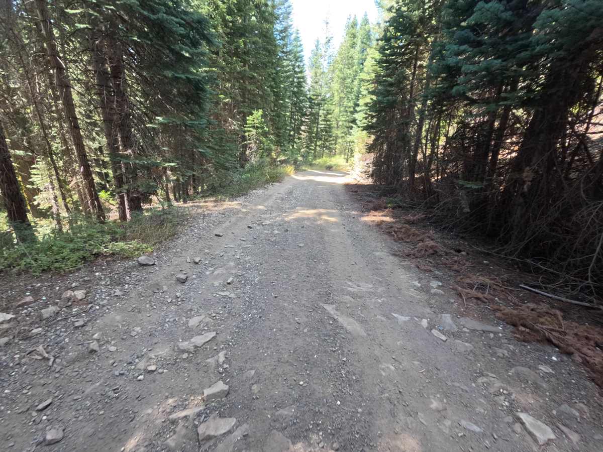
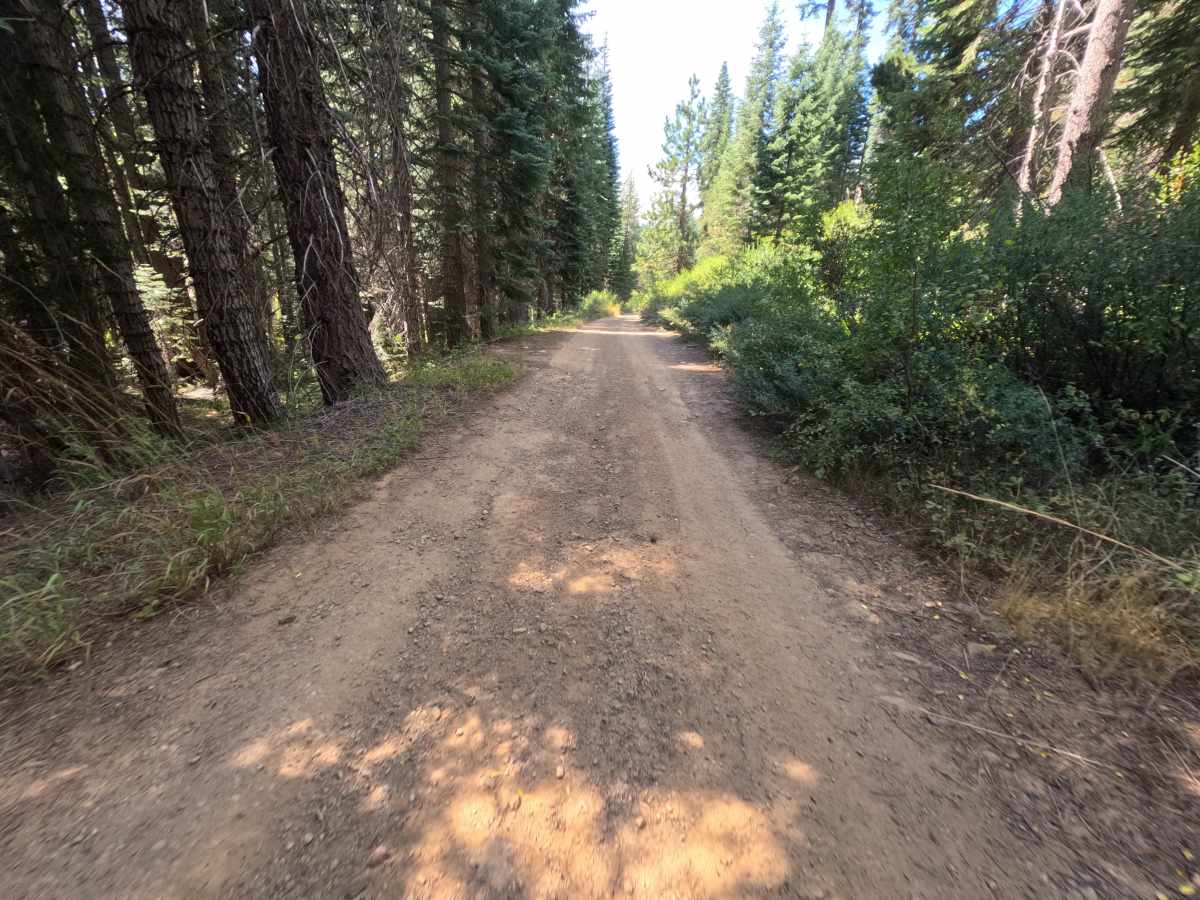
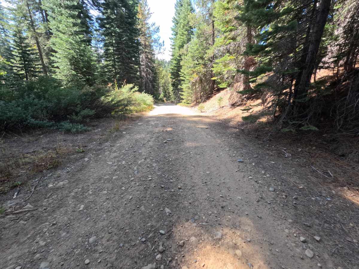
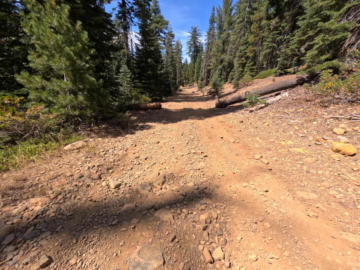
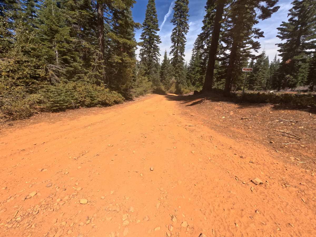
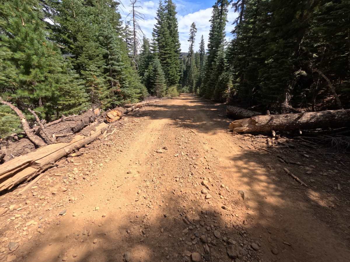
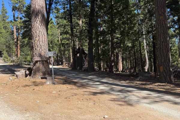
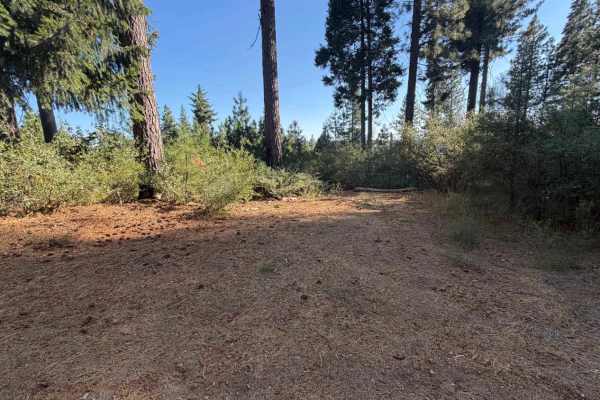
Fall Creek - FS 14-001 is a short, out-and-back single-track spur that winds through dense conifer forest within the Tahoe National Forest. The road holds a gentle, mostly level grade along its full 1.7-mile run, gaining well under fifty feet in elevation from end to end. Roughly a third of a mile in, a small dispersed camping pullout opens up beside the old road bed, tucked into a shaded stand of trees. Beyond that point, the route continues as a fairly well-traveled dirt track lined with fir and pine, with several downed logs already bucked and cleared to the roadsides rather than blocking travel. Narrow and lightly used throughout, the spur has no notable overlooks or through-connections. Fall Creek ends at a junction where the road splits into other route options, marking the turnaround point. Best travel is in Summer and Fall.
Difficulty
Fall Creek - FS 14-001 rates a 1, the easiest classification on the scale. The road surface is smooth, flat dirt with a well-traveled feel and virtually no elevation change over its length, so there is nothing here that challenges traction, clearance, or driver attention. A handful of downed logs sit bucked and pushed off to the roadsides rather than crossing the travel path, so they add no technical difficulty. Nothing on this route pushes the rating higher; it functions as a mellow, low-stakes spur suited to any vehicle capable of basic forest road travel.