FS 7S127

Total Miles0.6
Technical Rating
4Moderate
Best TimeSpring, Summer, Fall
Trail TypeFull-Width Road
Accessible By
Open Trail Map

Trail Overview

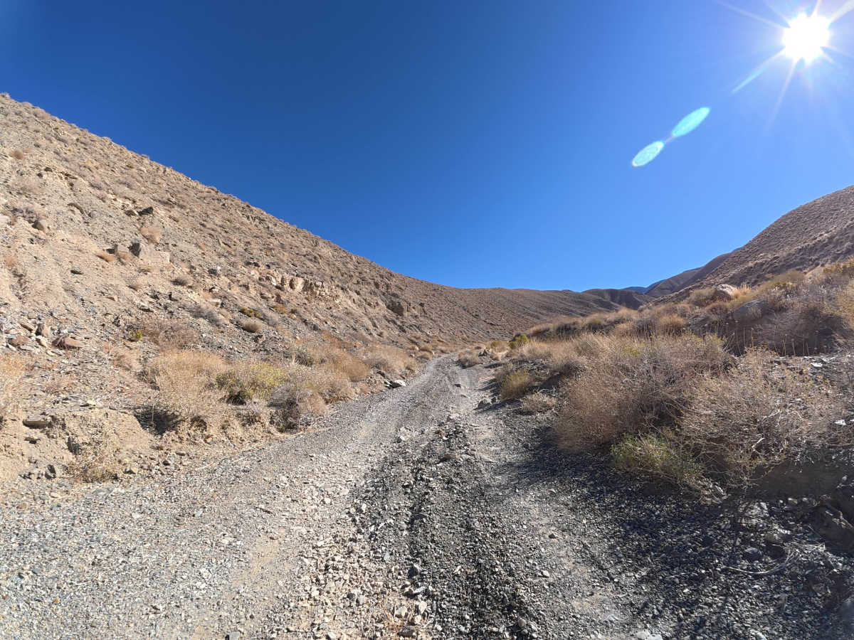
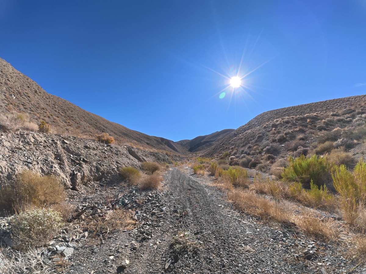
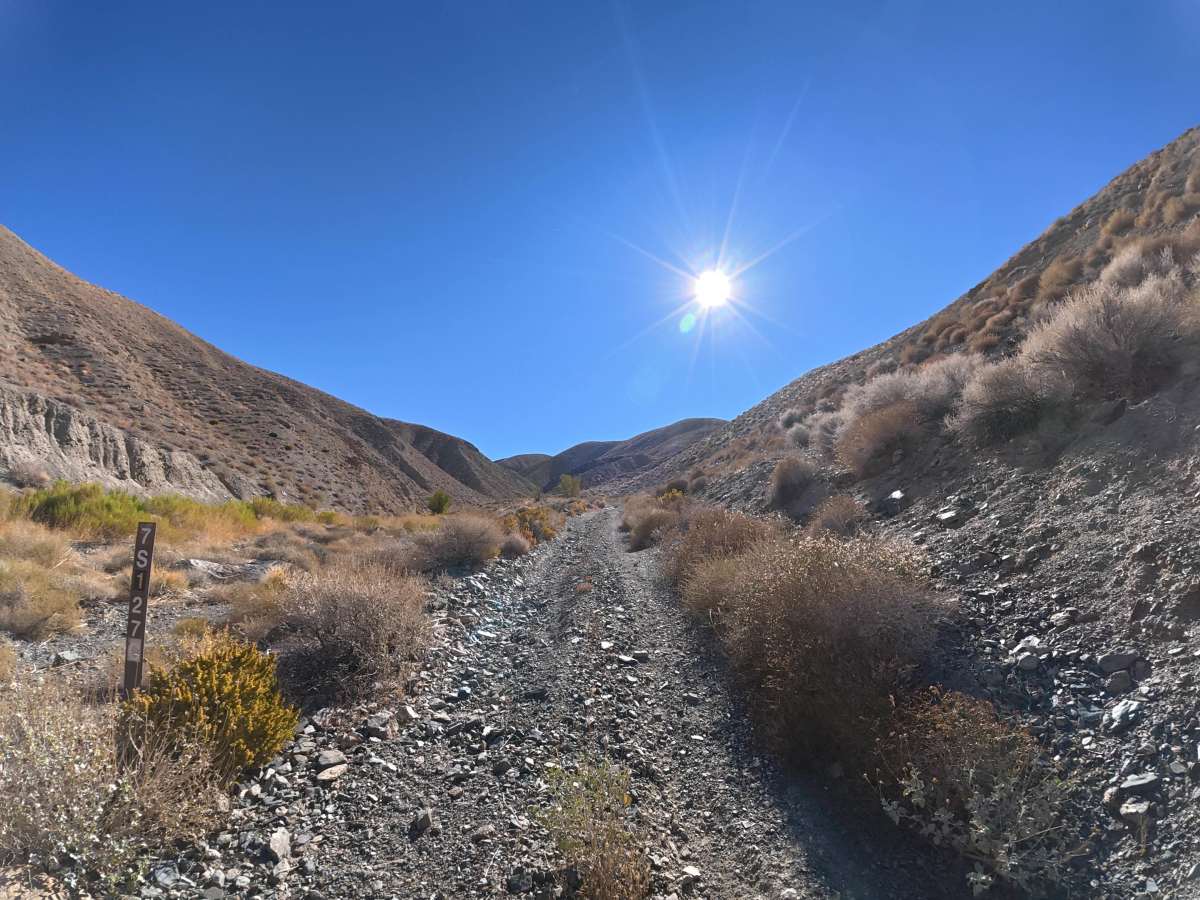
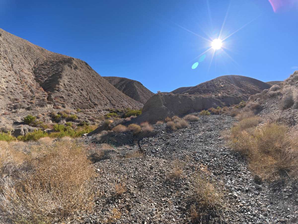
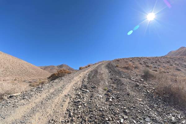
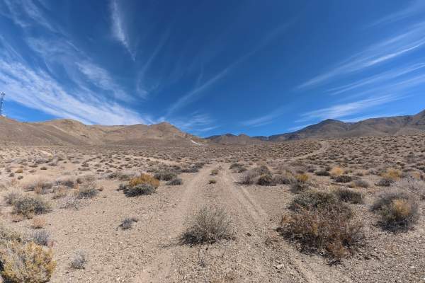
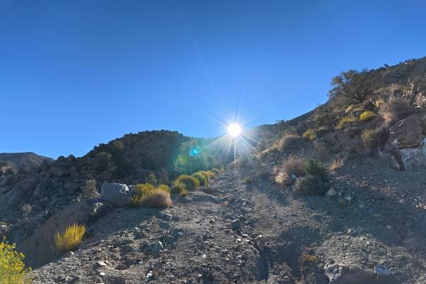
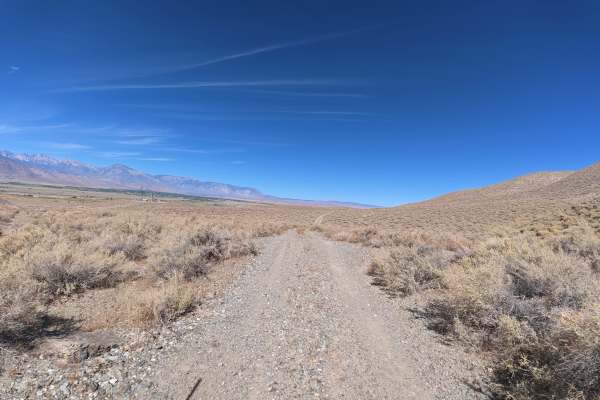
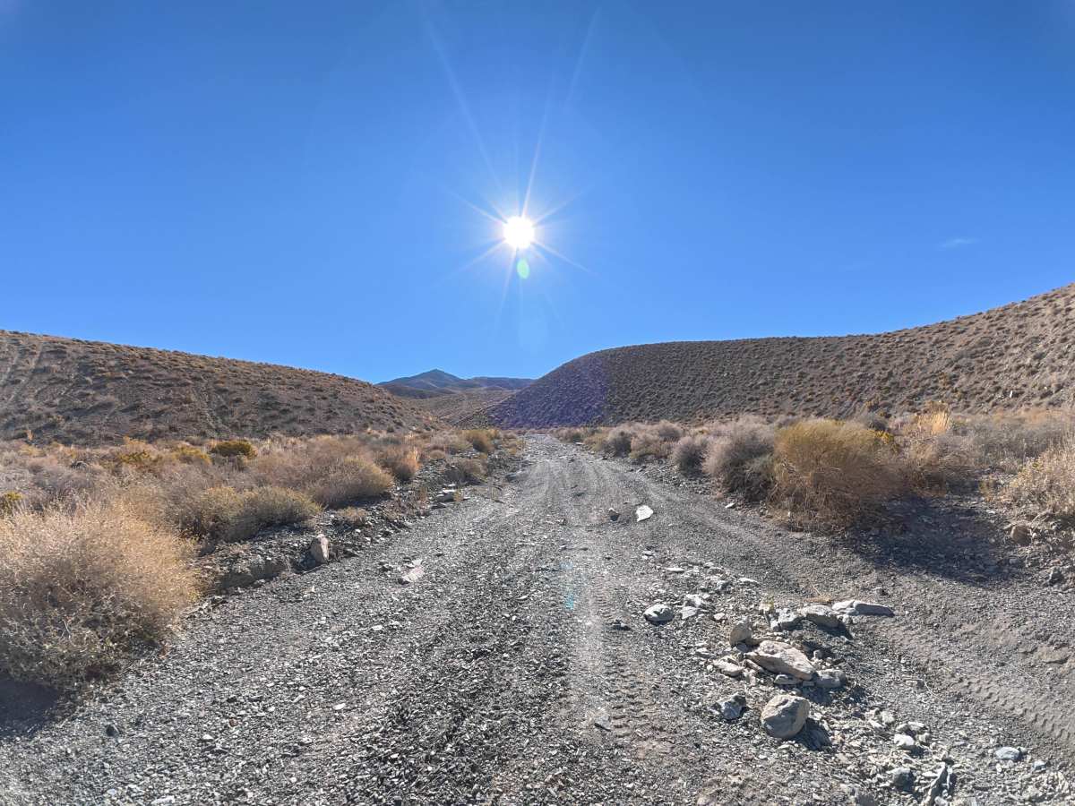
This trail begins partially on BLM land and travels toward Inyo National Forest through a valley between two mountain peaks. Expect 10–12-inch ruts and rocks ranging from 4–20 inches in diameter, although the larger boulders can be avoided. The route offers two scenic campsites with mountain views, including a level, shaded site for up to three vehicles near what appears to be an old building foundation. Around 0.6 miles, flood damage has completely washed out the road, making further travel impossible.

Photos of FS 7S127

Difficulty

This trail is rated level 4 because of the 10–12-inch ruts, rocks and boulders up to 20 inches in diameter, and significant flood damage. At least 14 inches of clearance and 4WD or AWD are required. The trail is currently impassable beyond the major washout at 0.6 miles.

Technical Rating

4

FS 7S127 Trail can be accessed by the following ride types:

  • Single Track
  • 50 Inch
  • 60 Inch
  • High Clearance
  • Full Width

FS 7S127 Map

The onX Offroad Difference

onX Offroad combines trail photos, descriptions, difficulty ratings, width restrictions, seasonality, and more in a user-friendly interface. Available on all devices, with offline access and full compatibility with CarPlay and Android Auto. Discover what you're missing today!

Open Trail Map