Trail Overview
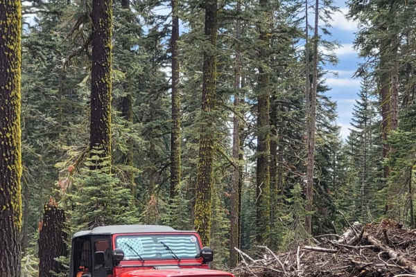
FS 7N84Y branches south off 7N57, serving as an out-and-back spur that ventures into the high-elevation woodlands of the Eldorado National Forest. Winding through stands of moss-draped pines, firs, and low-growing mountain brush, this single-lane dirt track provides access to scenic dispersed campsites and quiet backcountry clearings. The route begins on smooth, packed natural earth with scattered pine litter, gentle grade changes, and occasional shallow erosion ruts along the climbs. After passing the junction with 7N62Y, the track maintains an easygoing flow before reaching a dramatic finish. The trail's signature challenge arrives right at the terminus, where travelers encounter a punchy 20-degree incline over loose soil, gravel, and embedded rock leading to the final crest.
Difficulty
Rated a 4 due to the steep, loose grade at the very end of the trail. While the majority of the route is an easy 2-rated dirt track with minor ruts and dips, the final pitch reaches an incline of at least 20 degrees over crumbly earth and loose stone. A capable four-wheel-drive system with low-range gearing and dependable all-terrain traction is necessary to safely manage the climb without slipping or losing forward momentum.