Trail Overview
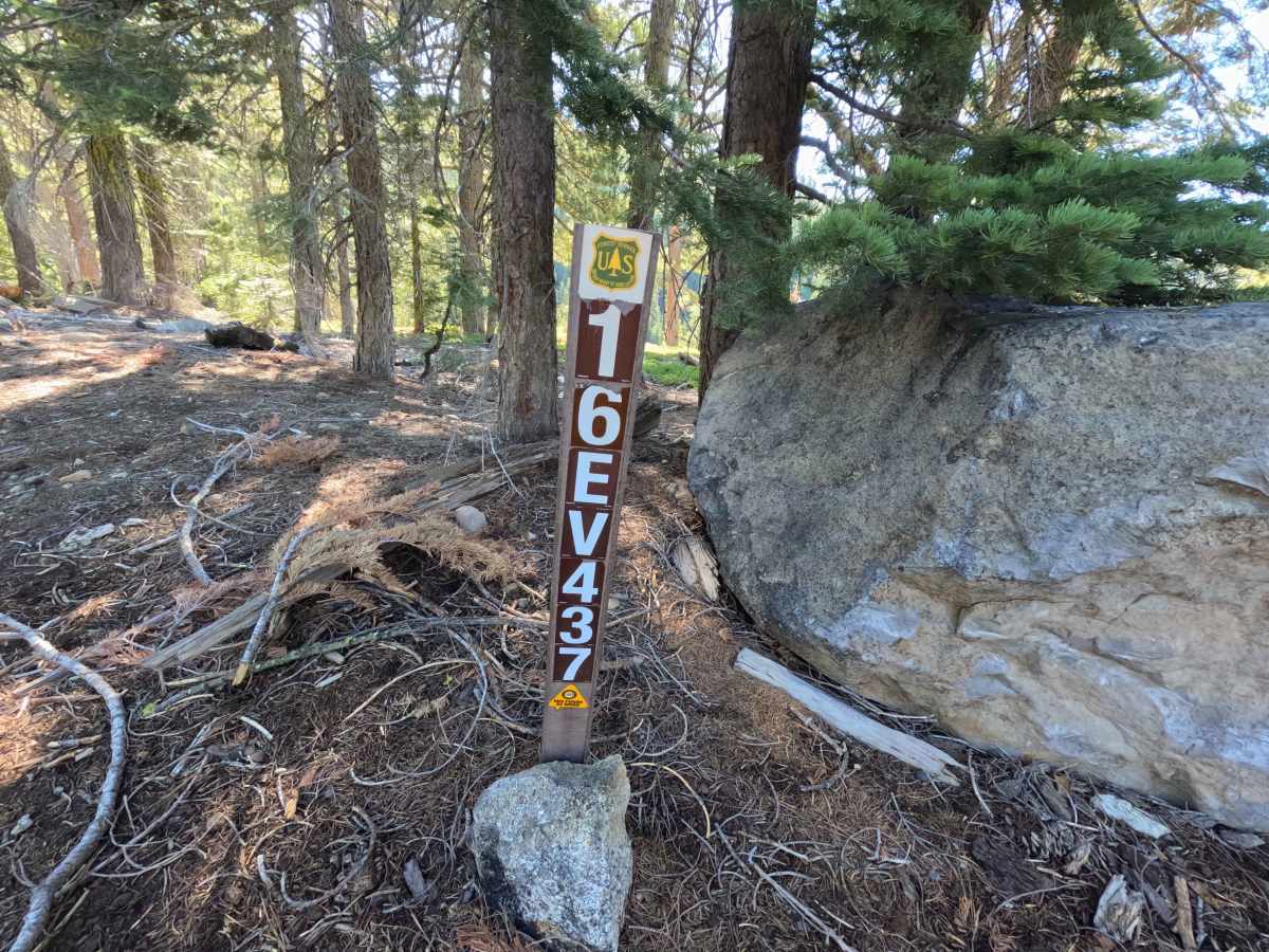
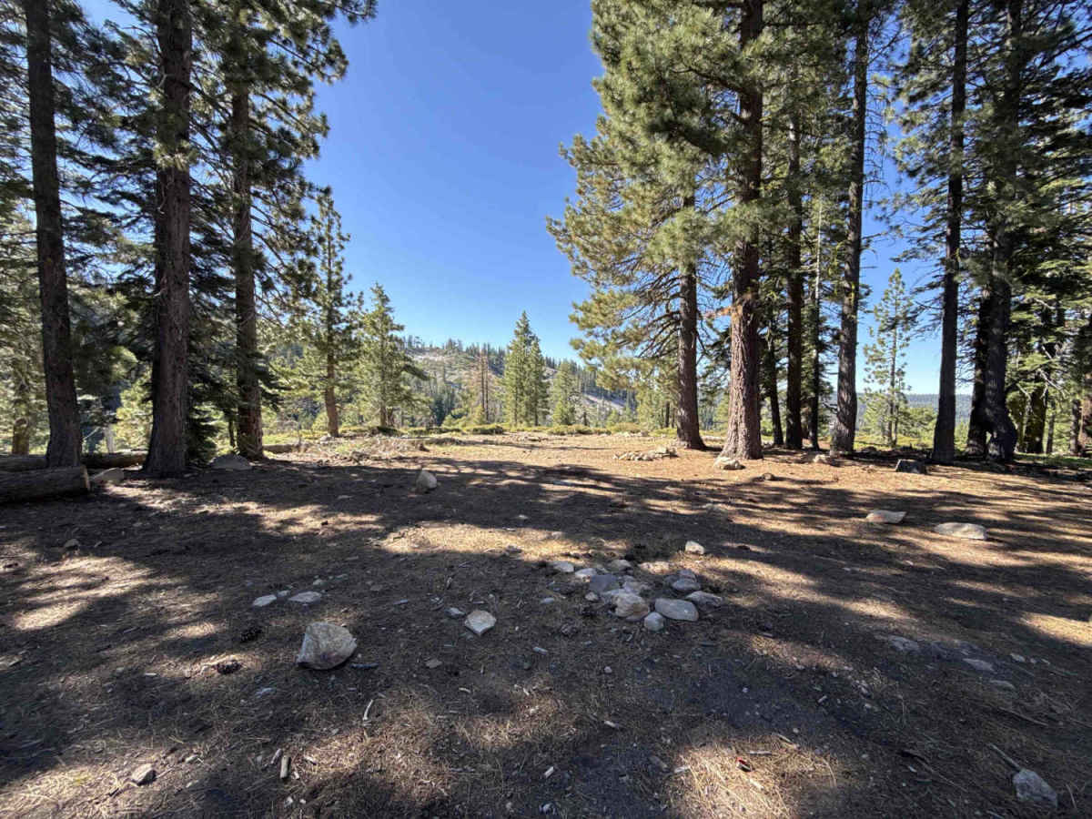
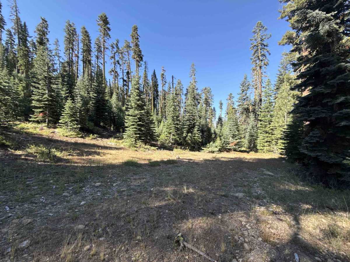
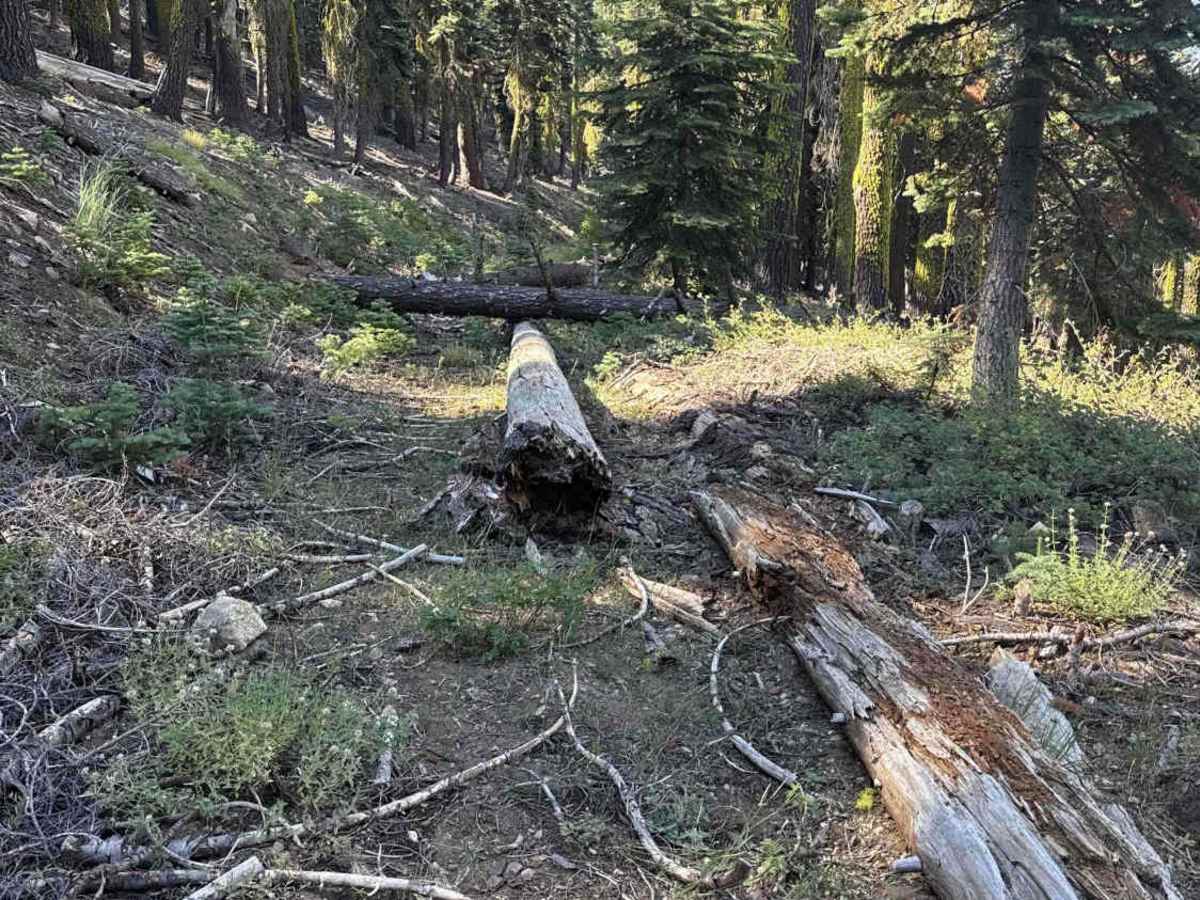
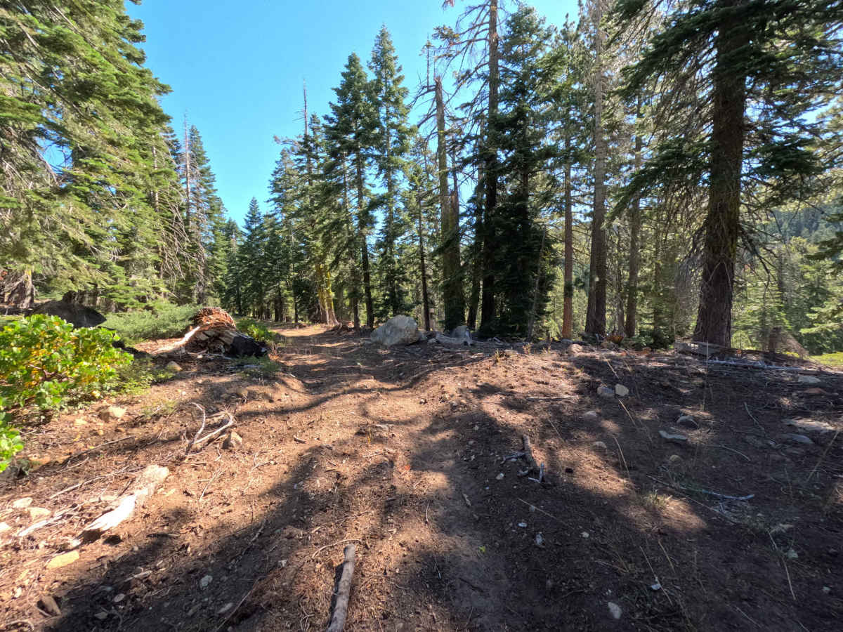
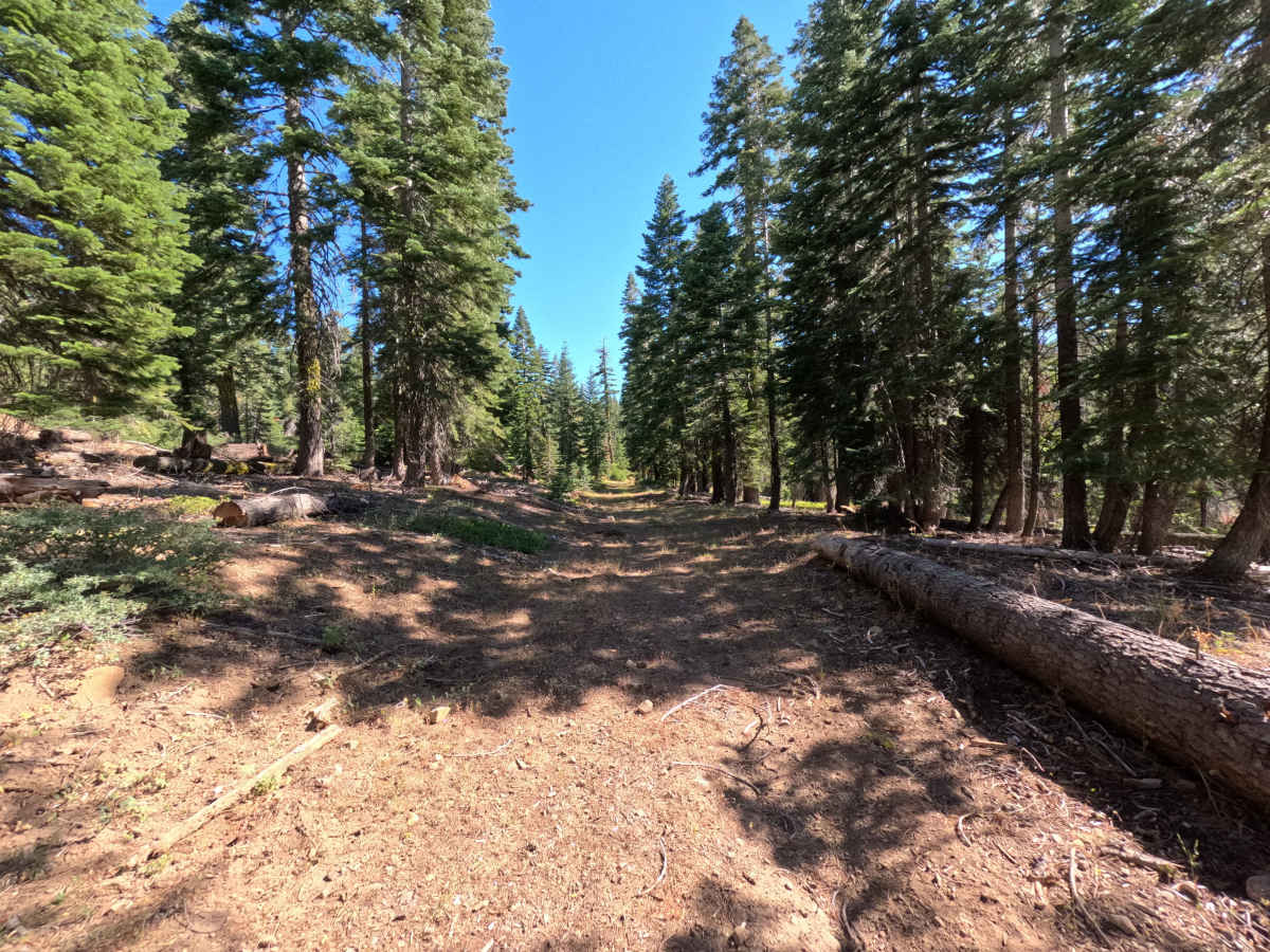
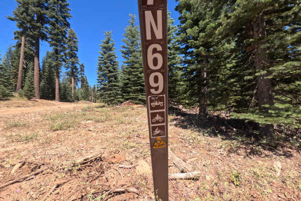
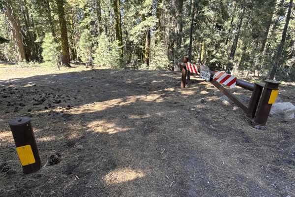
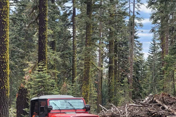
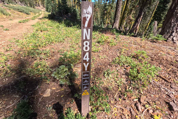
Branching off Forest Service Road 7N09, Forest Service Road 16EV437 is a secluded out-and-back forest spur tucked within the Stanislaus National Forest. The corridor descends gently through a dense, mature mixed-conifer woodland shaded by tall firs and pines with a soft carpet of native grasses and mountain shrubs. Composed of a single-lane roadbed of packed dirt, pine needles, and native soil, the track carries an accessible difficulty rating of 2. Outdoor enthusiasts and campers primarily explore this quiet woodland track to reach a peaceful, primitive dispersed campsite nestled directly alongside a tranquil mountain creek. Past the creekside campsite, the road narrows and becomes increasingly brushy before terminating abruptly at a cluster of fallen timber that completely blocks forward vehicle progress.
Difficulty
Rated 2, this trail presents an easy and approachable drive across a gentle downhill grade with a firm, natural soil and grass surface. The initial segment to the creekside campsite features solid traction and minor surface dips that require only basic speed control. Beyond the campsite clearing, the corridor narrows significantly where encroaching roadside brush causes light paint contact. The usable route concludes at a series of large downed trees obstructing the roadway, where motorists must turn around in the timber to head back out.

 Offroad