FS 7N69

Total Miles2.7
Technical Rating
4Moderate
Best TimeSummer, Fall, Spring
Trail TypeFull-Width Road
Accessible By
Open Trail Map

Trail Overview

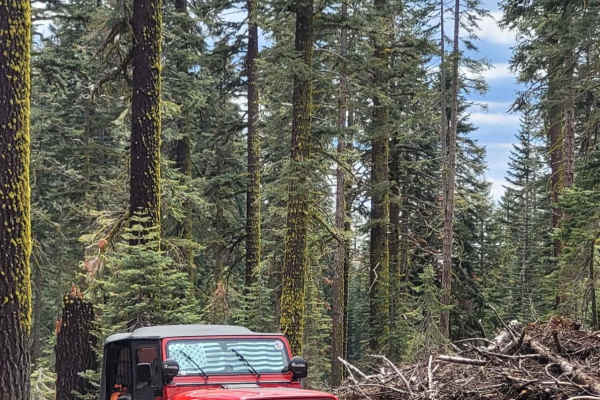
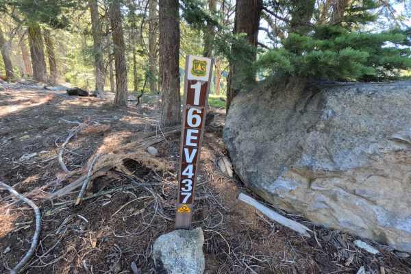
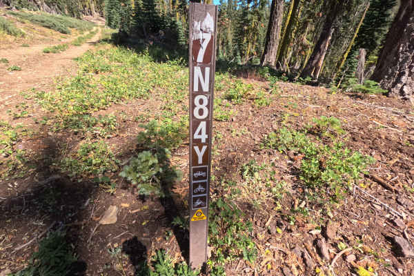
Branching off Forest Road 7N09, Forest Service Road 7N69 serves as a rugged connector route traveling through the high-elevation conifer woodlands managed by the Stanislaus National Forest. The northern stretch winds through dense pine stands and past previous timber harvest areas before narrowing into an active backcountry recreational corridor. Along the route, rustic dispersed campsites offer quiet spots to take a break or stage an overnight stay. The track delivers valuable throughput between surrounding motorized spur trails, including route 17EV16, making it a great destination for off-highway exploration, dispersed camping, and scenic travel beneath towering evergreen canopies.

Photos of FS 7N69

Difficulty

Rated a 4, this trail transitions from wide, hard-packed dirt into an uneven, single-lane track featuring moderately technical challenges. Expect sustained slopes covered in loose cobble and scree, protruding rocks, and deep water-carved erosion ruts along the descents. Negotiating the steeper, rocky declines requires deliberate tire placement, good ground clearance, and low-range four-wheel drive to maintain constant traction and vehicle control.

Technical Rating

4

FS 7N69 Trail can be accessed by the following ride types:

  • Single Track
  • 50 Inch
  • 60 Inch
  • High Clearance
  • Full Width

FS 7N69 Map

The onX Offroad Difference

onX Offroad combines trail photos, descriptions, difficulty ratings, width restrictions, seasonality, and more in a user-friendly interface. Available on all devices, with offline access and full compatibility with CarPlay and Android Auto. Discover what you're missing today!

Open Trail Map