FS 17EV16

Total Miles2.5
Technical Rating
4Moderate
Best TimeSummer, Fall, Spring
Trail TypeFull-Width Road
Accessible By
Open Trail Map

Trail Overview

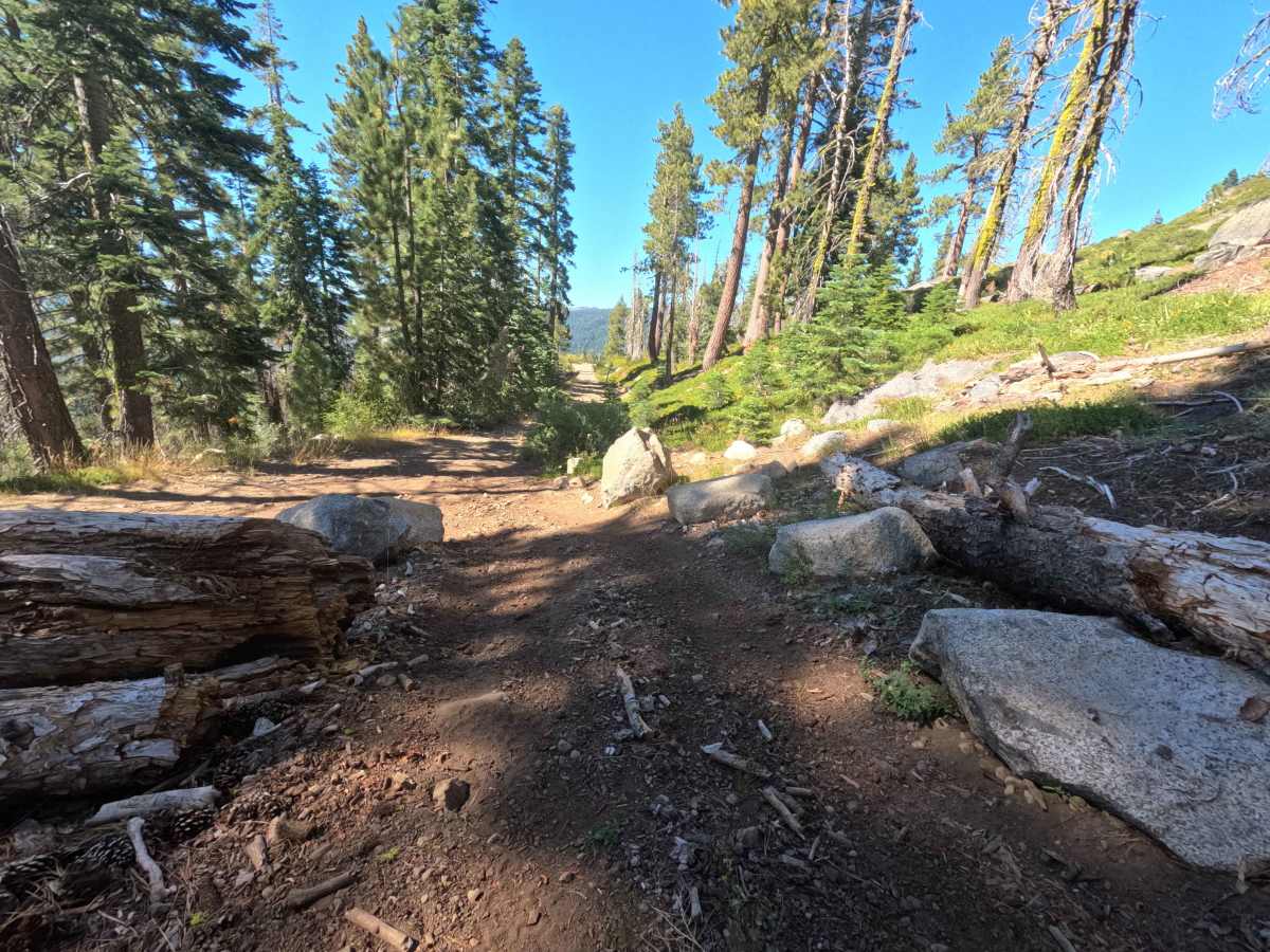
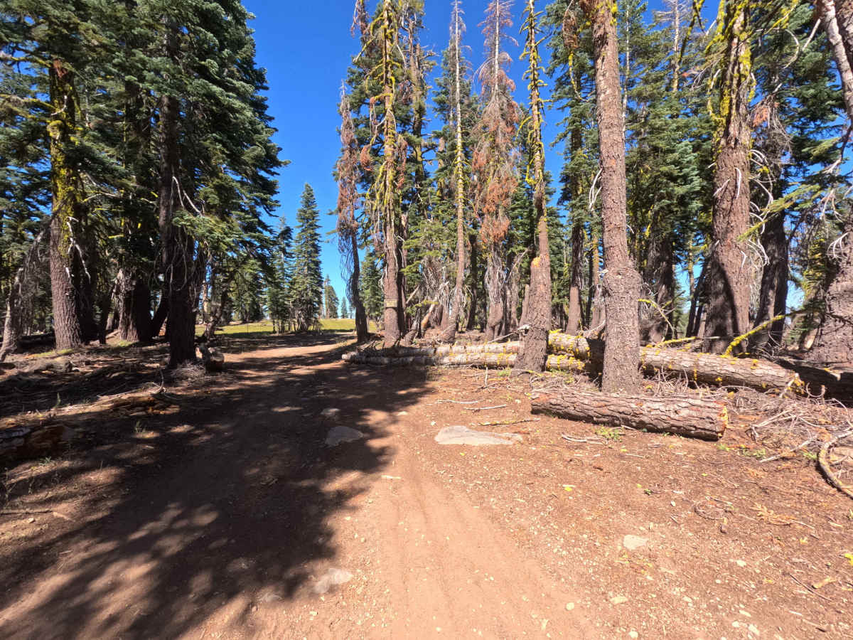
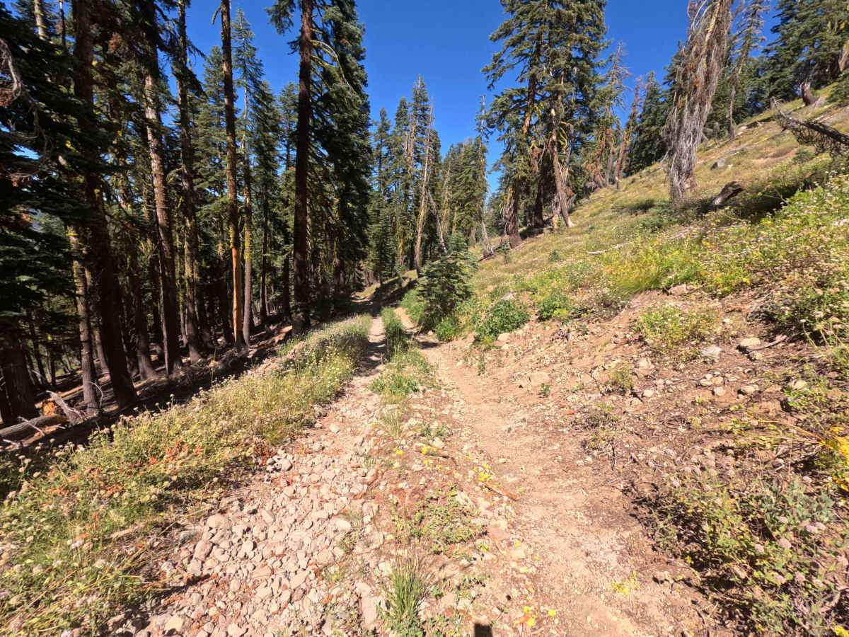
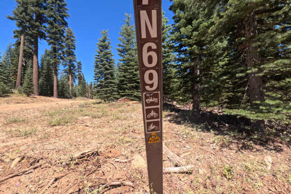
FS 7EV16 is a scenic backcountry connector trail in the Stanislaus National Forest that links Forest Route 7N69 with Forest Route 7N16. Traversing high ridgelines, mixed conifer timber, and vibrant subalpine meadows, the route provides motorized throughput deeper into the forest network while also offering access to the hiking-only Flagpole Point Trailhead. Travelers are treated to sweeping mountain vistas along the upper elevations before the path drops down toward secluded valley clearings ideal for quiet dispersed camping. The trail surface shifts between smooth, single-lane packed dirt in the flats and narrow, uneven shelf roads with loose rock along the steeper grades.

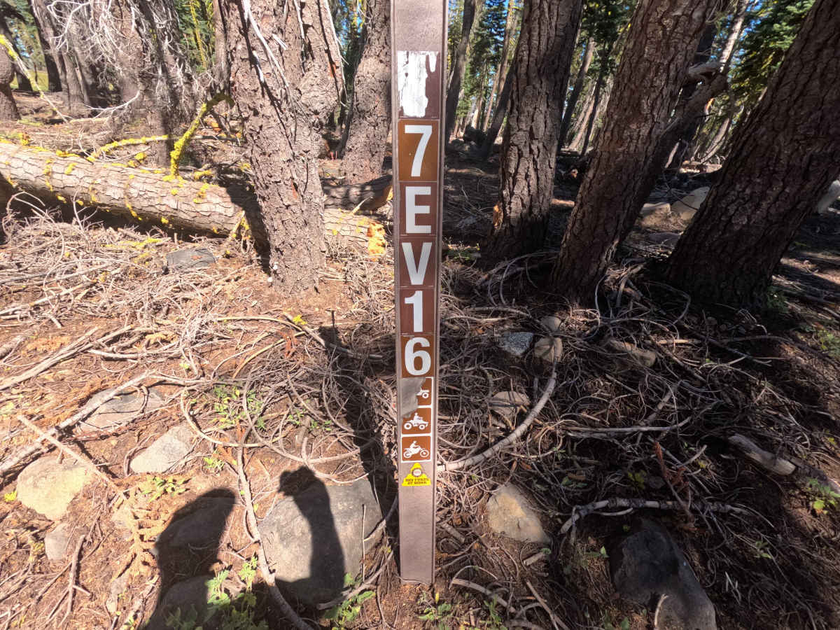
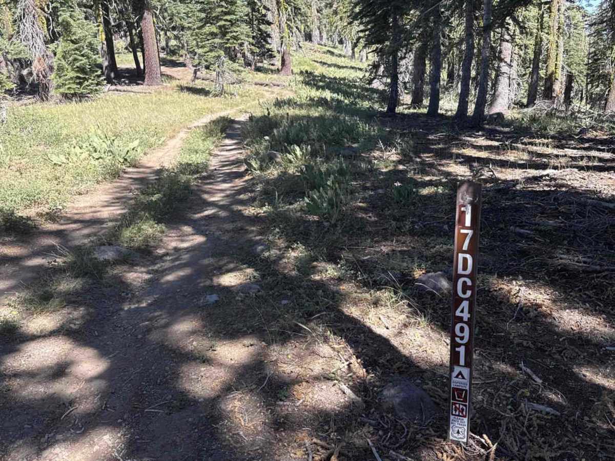
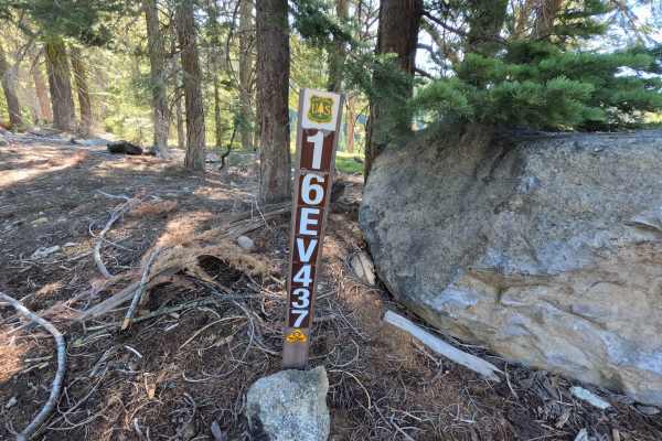
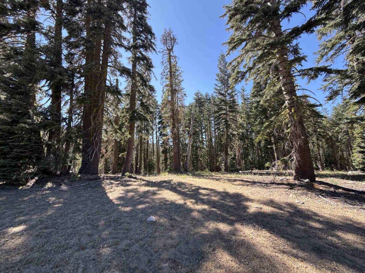
Photos of FS 17EV16

Difficulty

Rated a 4 due to sustained loose-rock descents, narrow shelf sections with steep side drop-offs, and uneven, off-camber surfaces. Navigating the corridor requires careful tire placement around embedded granite rocks, scattered boulders, and cleared timber choke points. Low-range gearing is highly beneficial for controlled engine braking down the steepest rocky grades to prevent sliding on loose stones.

Technical Rating

4

FS 17EV16 Trail can be accessed by the following ride types:

  • Single Track
  • 50 Inch
  • 60 Inch
  • High Clearance
  • Full Width

FS 17EV16 Map

The onX Offroad Difference

onX Offroad combines trail photos, descriptions, difficulty ratings, width restrictions, seasonality, and more in a user-friendly interface. Available on all devices, with offline access and full compatibility with CarPlay and Android Auto. Discover what you're missing today!

Open Trail Map