Trail Overview
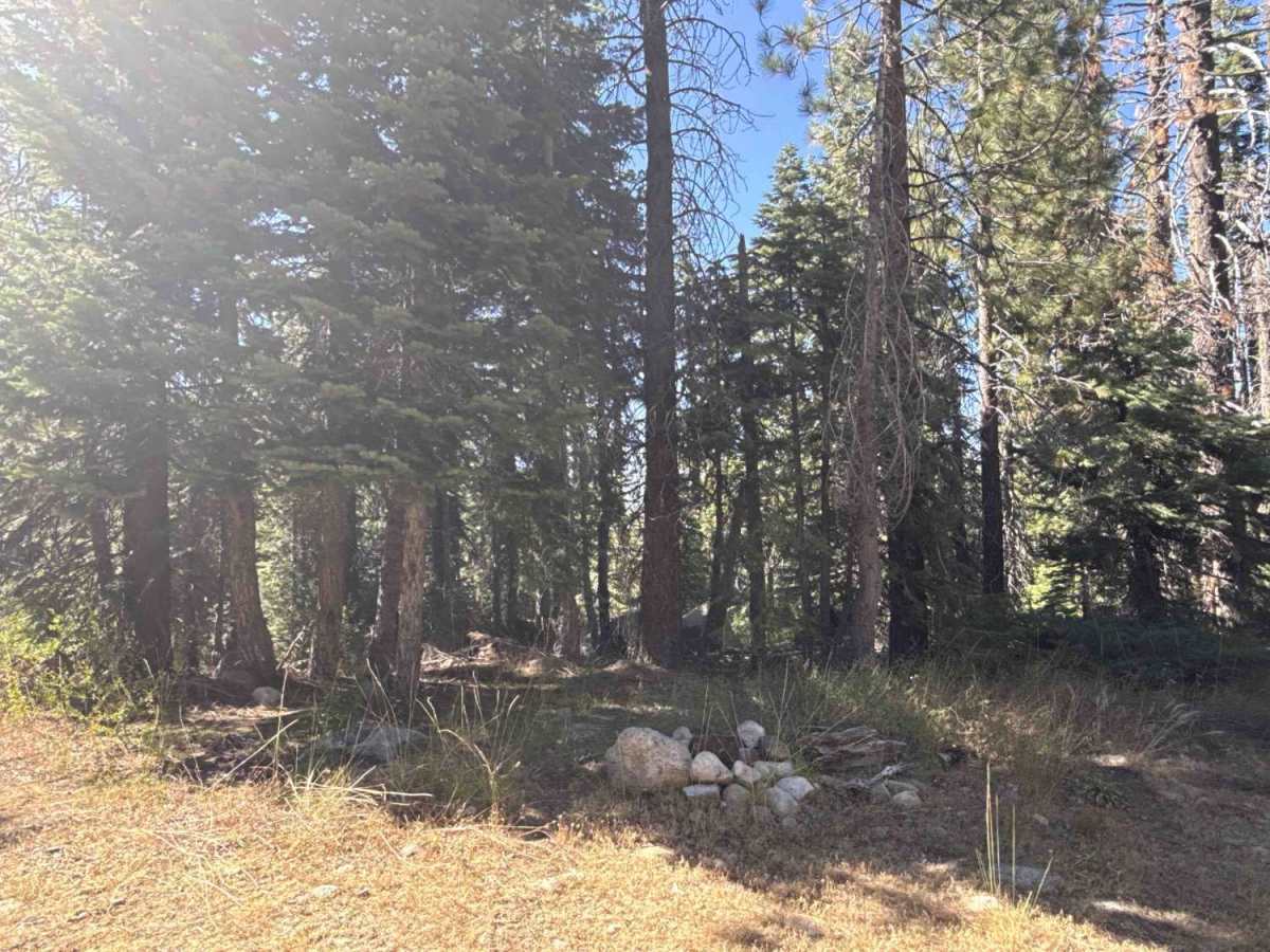
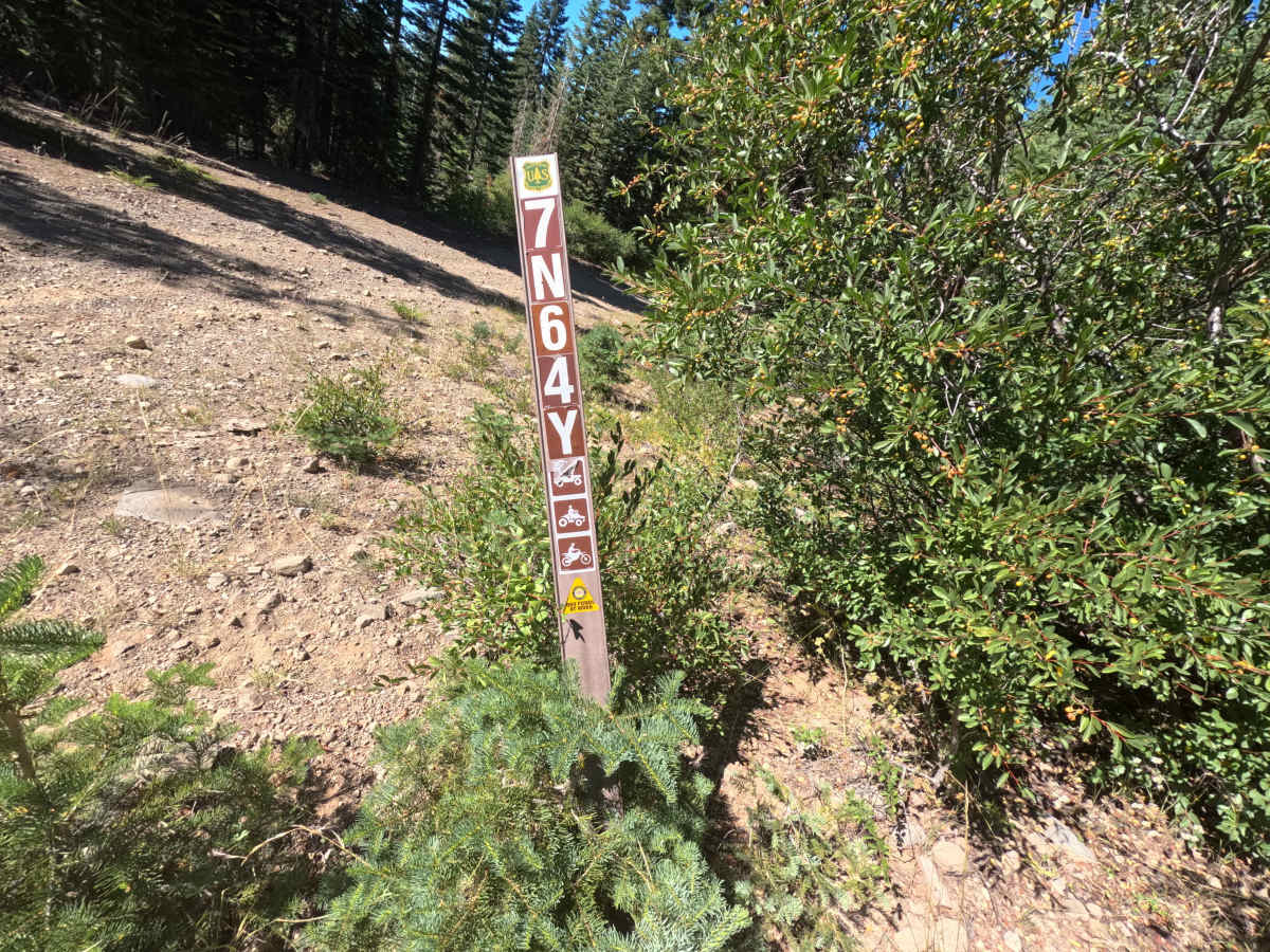
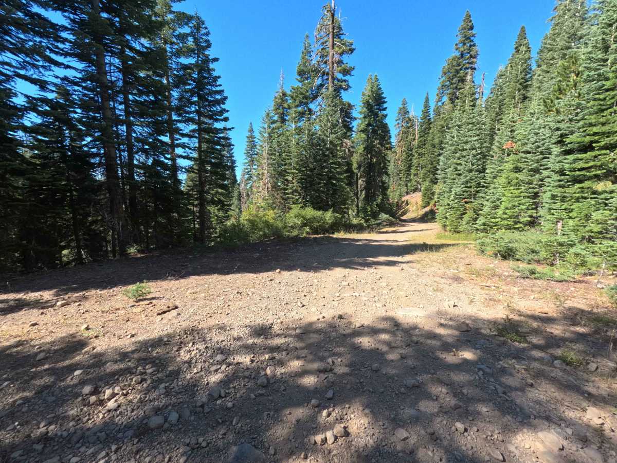
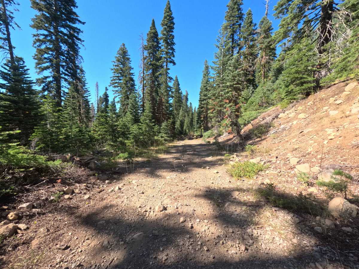
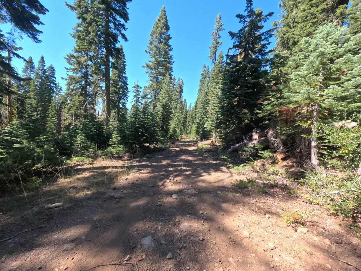
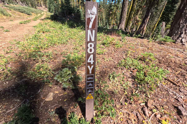
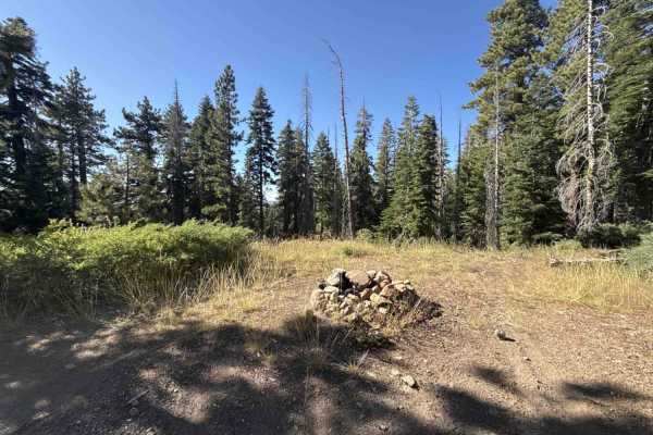
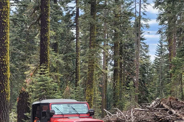
Forest Service Road 7N64Y is a tranquil, single-lane out-and-back spur branching northward off FS 7N16, descending steadily through the lush, dense conifer forest of Stanislaus National Forest. Designated for high-clearance 4x4s, side-by-sides, and dirt bikes, the route begins under a thick evergreen canopy before opening up to deliver panoramic glimpses of rugged mountain ridges to the north. The driving surface starts with embedded rock and loose stone before settling into smoother hard-packed dirt and grassy track as elevation drops toward the drainage basin. Visitors frequently travel this route to reach the serene riparian corridor of Marley Creek, access a secluded dispersed campsite at the turnaround, or connect to the non-motorized Mokelumne Coast to Crest Trail (MC2CT).
Difficulty
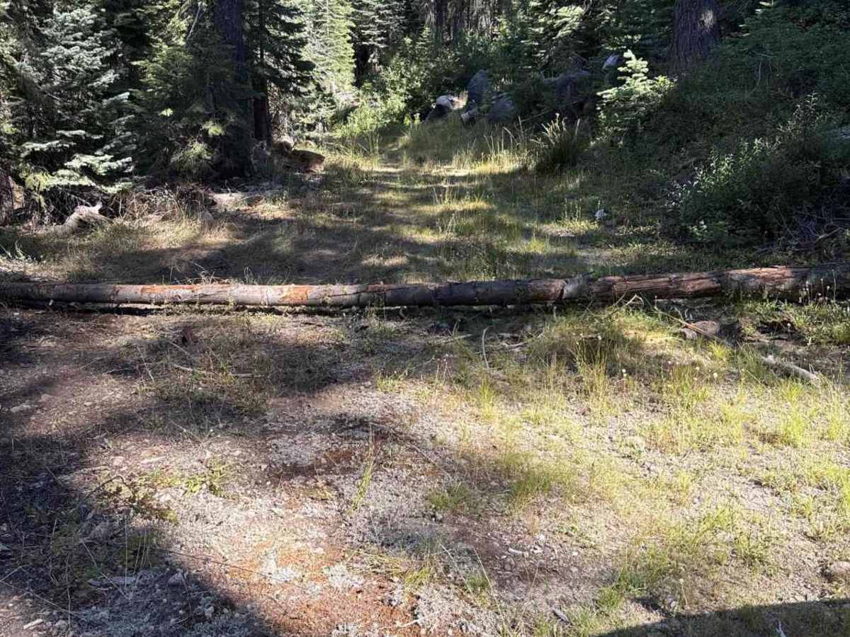
Rated a 3 primarily due to timber obstacles and rocky stretches that require high ground clearance. While the descent is generally well-defined, drivers will encounter shallow washouts, mild ruts, and loose stone. Downed logs along the corridor have been cleared for vehicle passage, though navigating over a small fallen tree near the trail terminus requires adequate clearance and deliberate line choice to avoid undercarriage contact. Careful tire placement makes this a straightforward trek for vehicles equipped with sufficient ride height.


 Offroad