Trail Overview
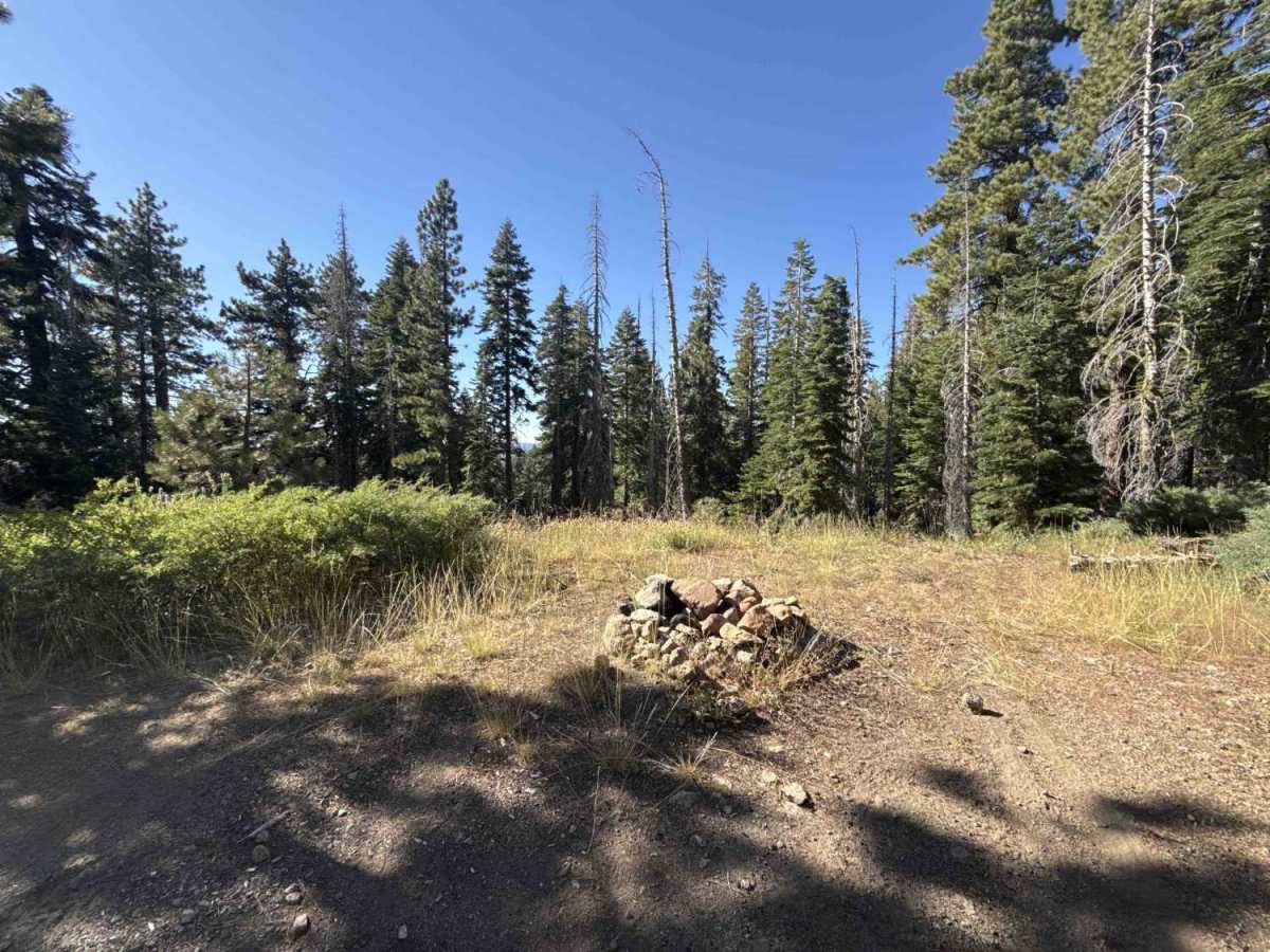
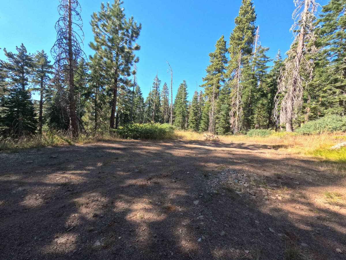
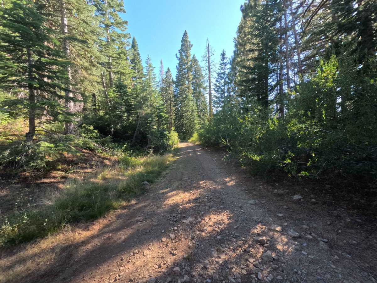
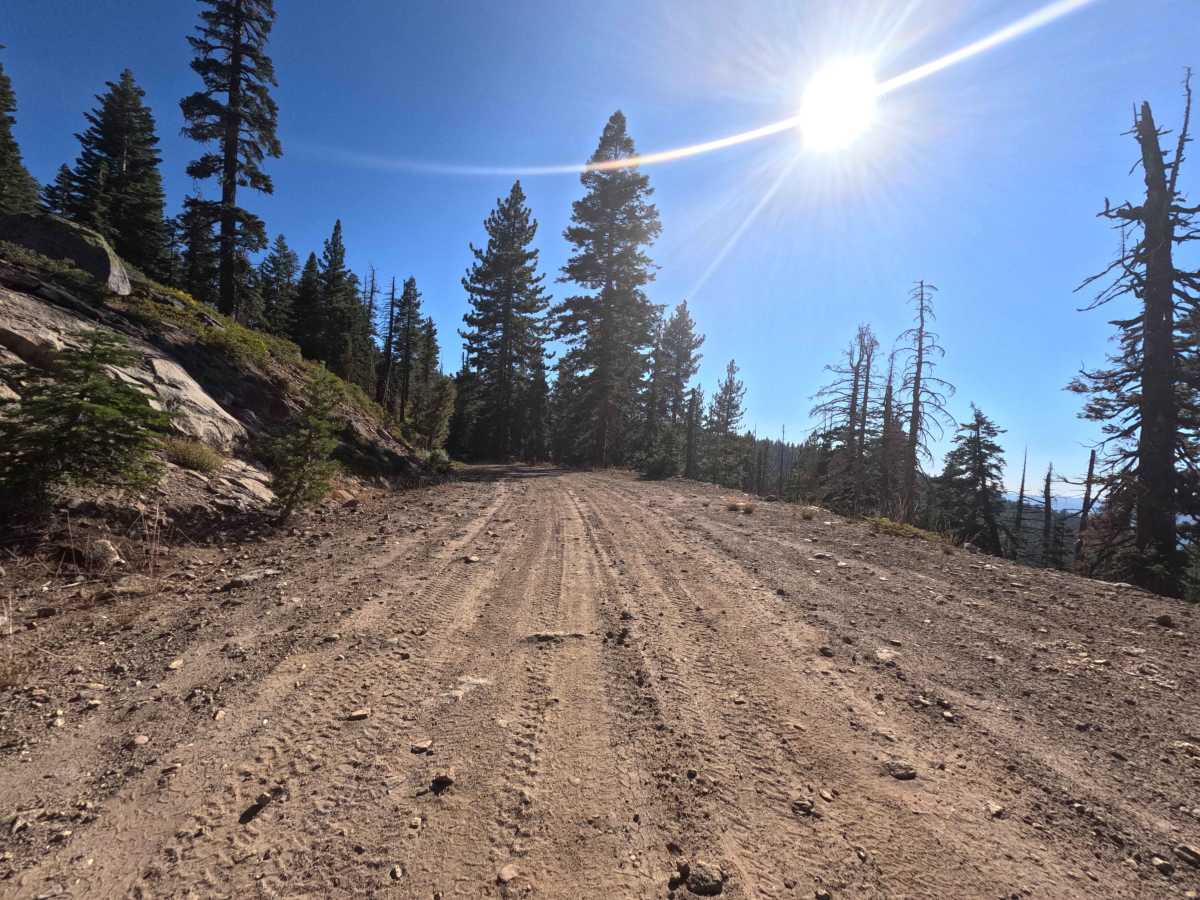
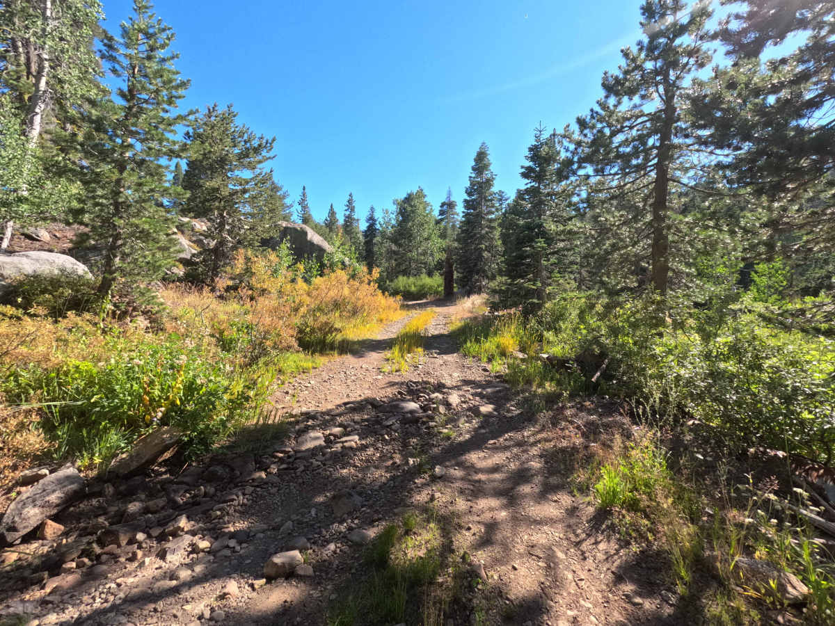
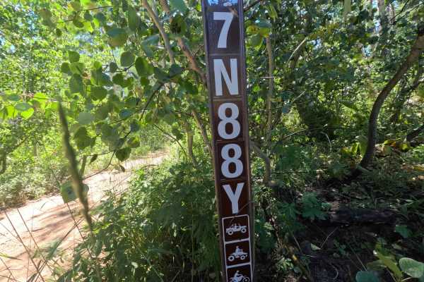
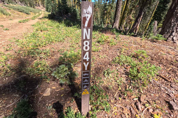
Serving as an essential backcountry thoroughfare within the Stanislaus National Forest, Forest Service Road 7N16 is a scenic mountain connector linking several tributary spur routes, including FS 7N64Y and 17EV16. The road winds through a lush, high-elevation alpine environment filled with towering pine and fir timber stands, quaking aspen groves, and open, sunlit hillsides lined with mountain shrubs. Outdoor travelers frequently use this primary arterial for scenic forest touring, seeking out isolated dispersed campsites, and accessing distant non-motorized trail networks. The roadbed consists of a wide, well-maintained single-to-two-lane track composed of hard-packed native soil and crushed gravel, earning an easy rating of 2. While it offers smooth and reliable passage across the mountainside, travelers will encounter minor washboard ripples, gentle rolling grade changes, and scattered loose surface rock along the winding corridor.
Difficulty
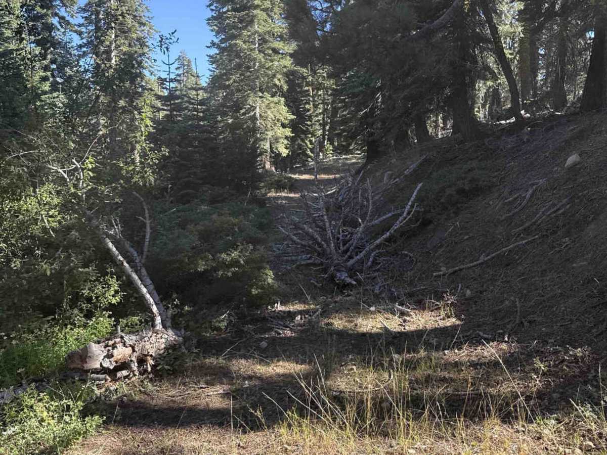
Rated a 2, this trail presents an easy and approachable drive across firm, packed dirt and gravel. Obstacles are minimal, consisting primarily of shallow drainage dips, light washboard chatter, and small, scattered stones that require no technical maneuvering. Maintaining a modest pace and scanning ahead for mild surface irregularities will ensure a comfortable, trouble-free journey across the route.


 Offroad