Trail Overview
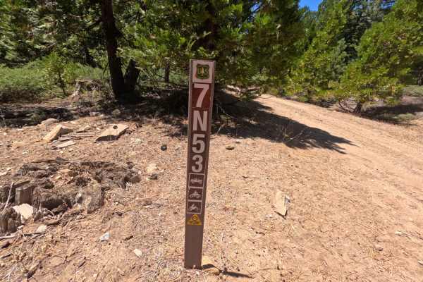
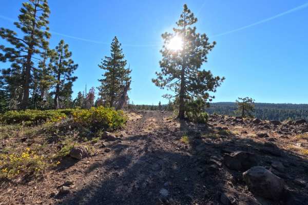
Branching off Forest Road 7N09, Forest Service Road 7N28 is a major backcountry connector route in the Stanislaus National Forest that provides crucial east-west throughput between regional mountain corridors. The trail traverses a lush, high-elevation alpine environment shaded by dense stands of towering pines, firs, and quaking aspen groves that form a scenic forest canopy. Drivers frequently travel this extensive thoroughfare for scenic overlanding, accessing secluded dispersed camping opportunities, and navigating deeper into the western Sierra Nevada backcountry. The driving surface varies from wide, graded gravel and hard-packed dirt to narrower stretches of rustic native soil and broad crushed rock flats, easily earning an approachable rating of 2. Along the way, fallen logs have been cleared well beyond the shoulders, keeping passage open, comfortable, and scenic from end to end.
Difficulty
Rated a 2, this route presents a straightforward and approachable drive over well-established dirt and gravel roadbeds. Obstacles are very mild, limited to shallow drainage dips, light washboard chatter, and stretches of loose surface gravel and small embedded stones that create minor bumps. Maintaining a steady, controlled speed and scanning ahead for changing roadbed textures ensures a smooth, stress-free journey across the entire length of the trail.