Trail Overview
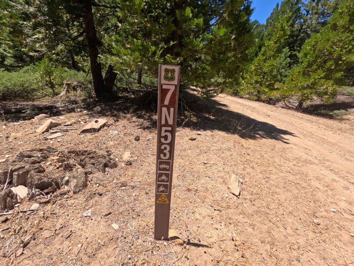
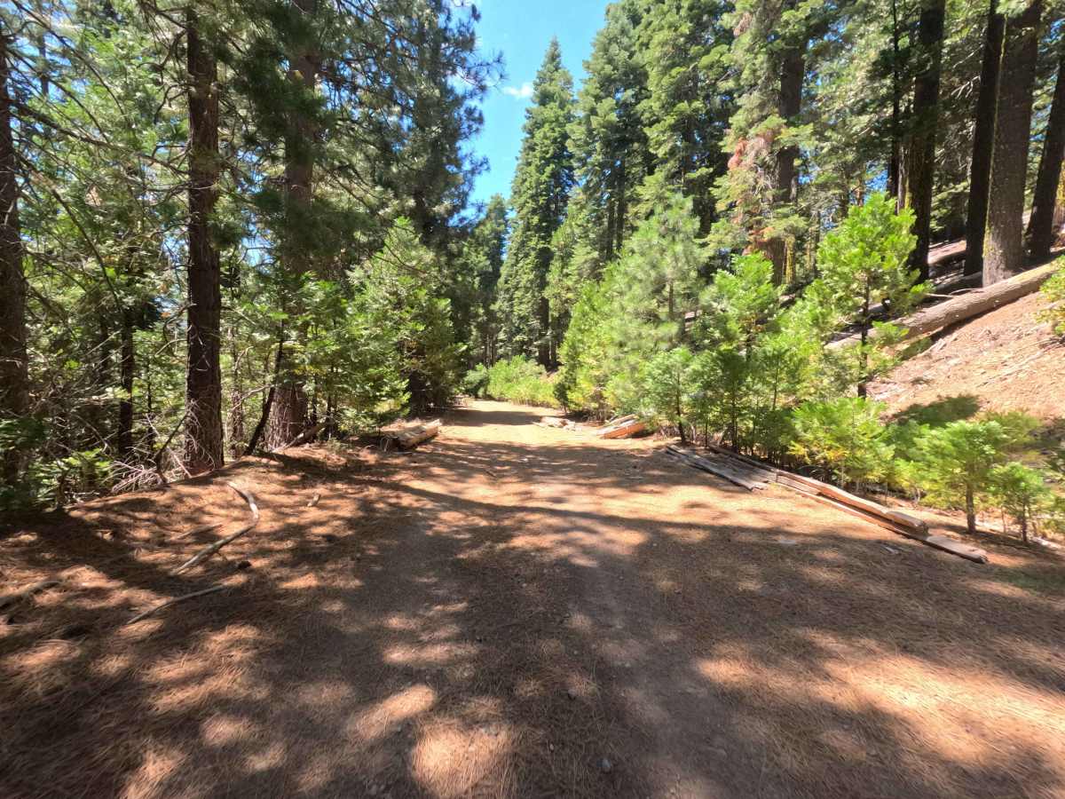
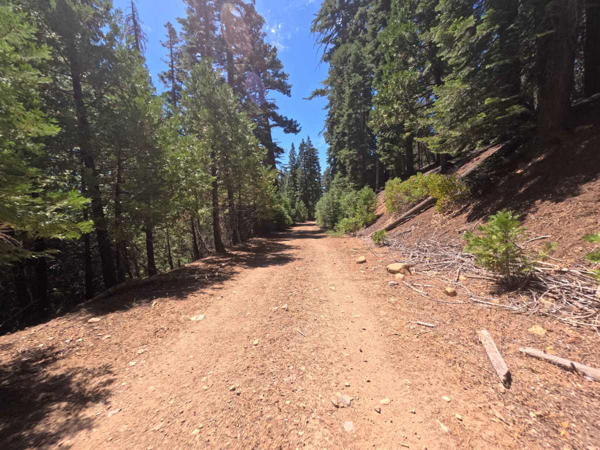
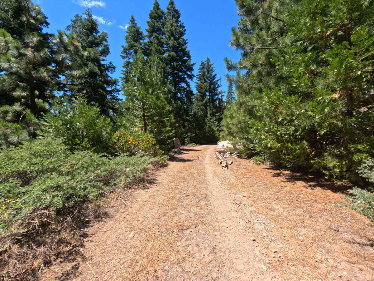
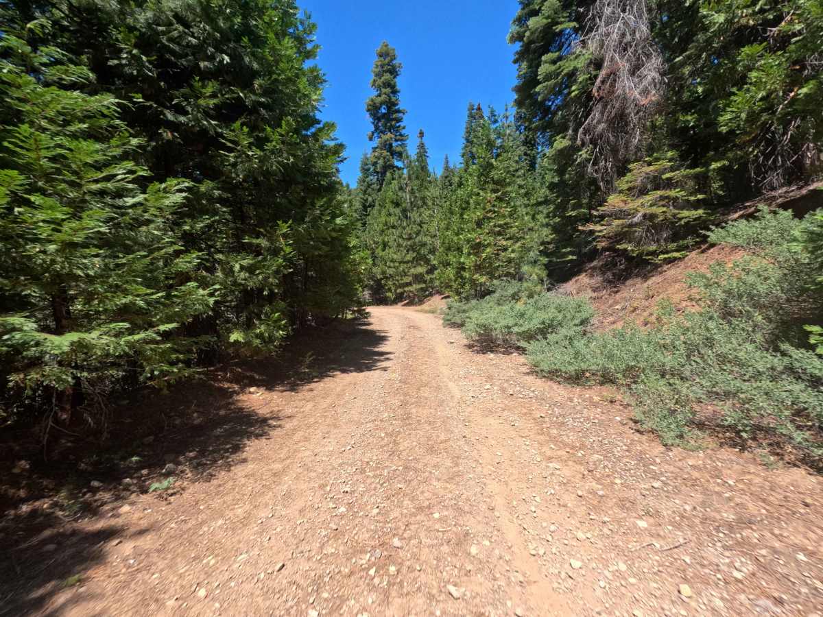
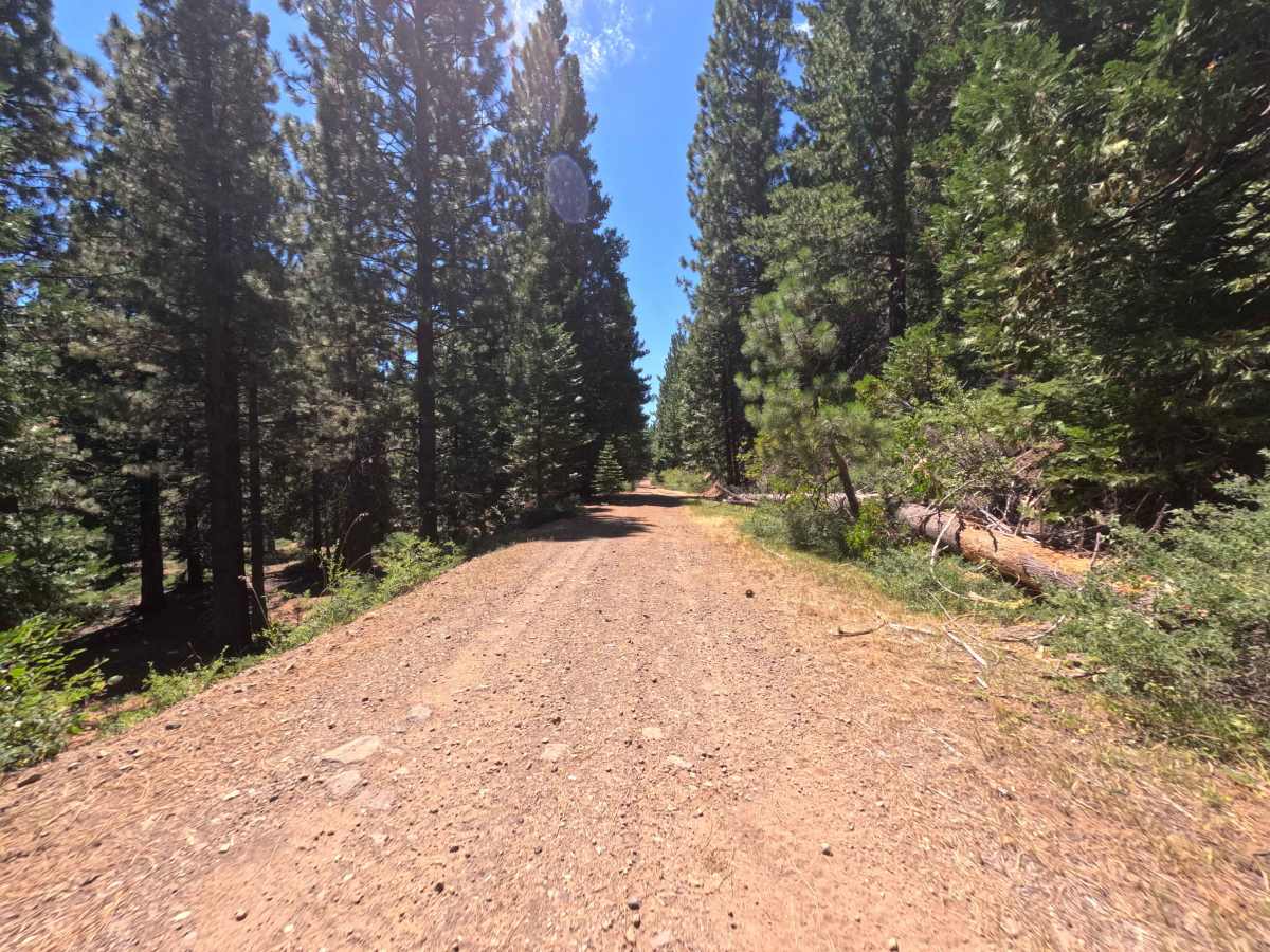
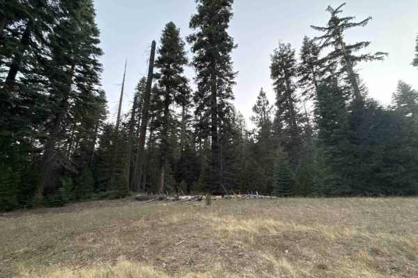
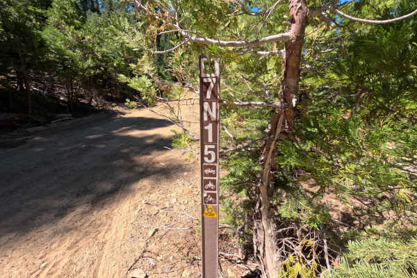
Branching off Forest Road 7N09, Forest Service Road 7N53 serves as a tranquil, forested connector route linking westward toward Forest Road 7N24 and neighboring timberlands within the Stanislaus National Forest. The corridor travels beneath a lush, dense canopy of mature pines, firs, and fragrant incense cedars, offering a shaded, peaceful drive through remote backcountry terrain. Primarily utilized as an administrative thoroughfare and forest management access route, this trail provides dependable throughput across the western section of the ranger district. The single-lane roadbed consists of a flat, graded earthen surface coated with light gravel and a blanket of fallen pine needles. Fallen timber has been neatly cleared along the edges, keeping the driving lane wide and unobstructed as the tread transitions to a slightly rockier texture near the western terminus.
Difficulty
Rated a 1, this trail is very approachable and easy to navigate in dry conditions. The roadbed is predominantly flat, graded, and hard-packed, free of steep grades, off-camber tilts, or deep ruts. As the road approaches its western junction, the surface becomes slightly rougher with scattered loose stones and light washboard ripples, but maintaining a gentle, steady speed ensures smooth passage throughout.

 Offroad