Trail Overview
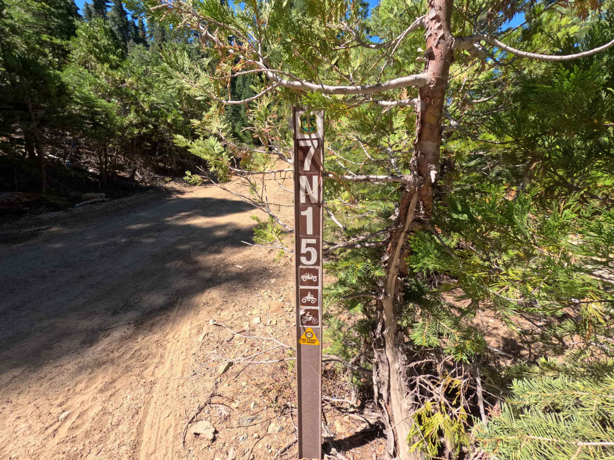
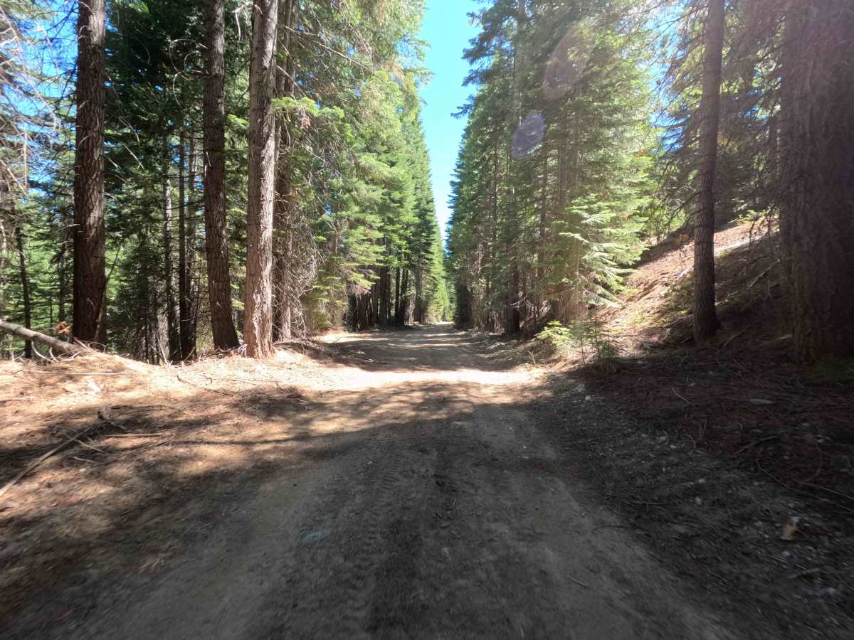
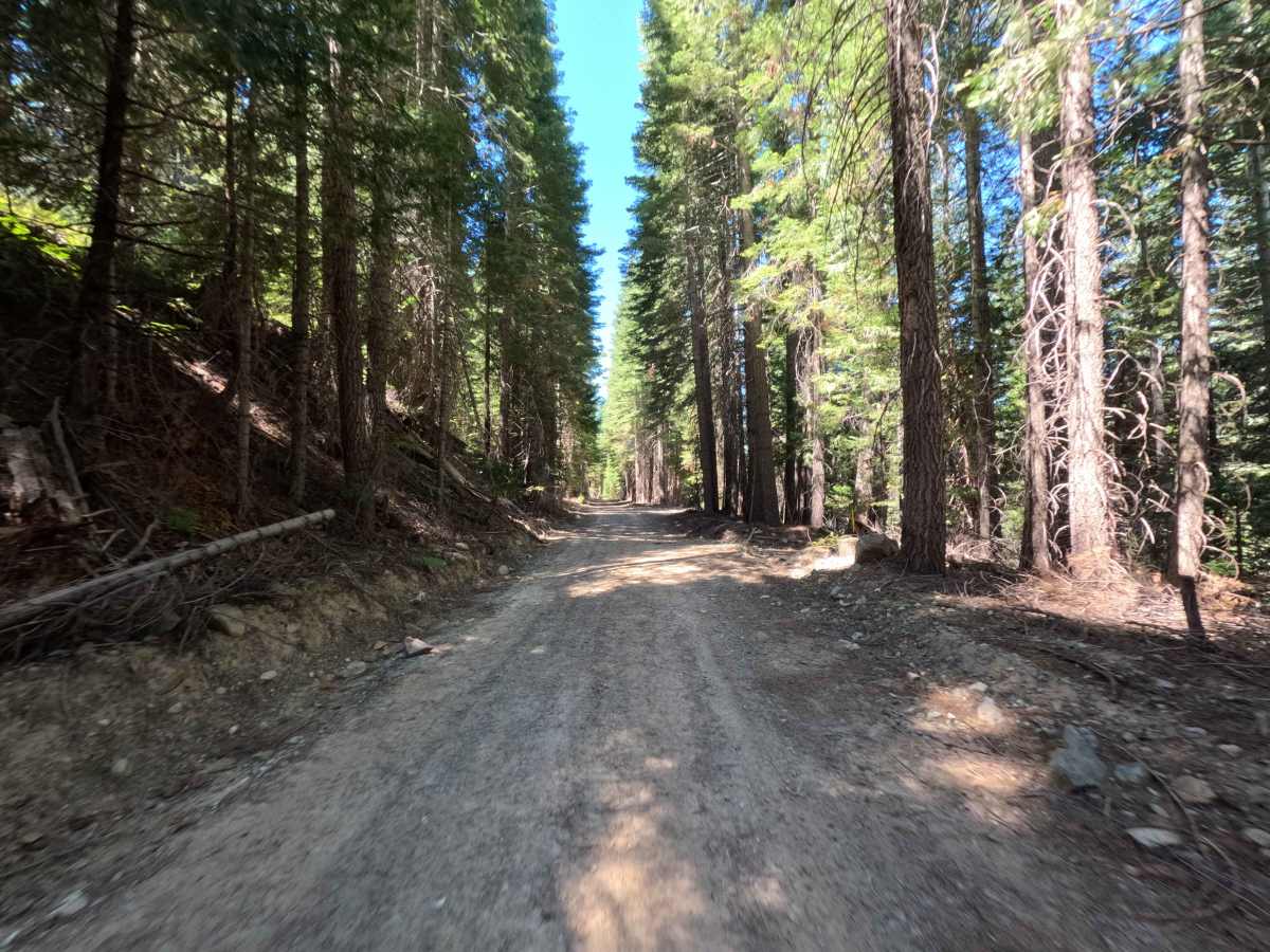
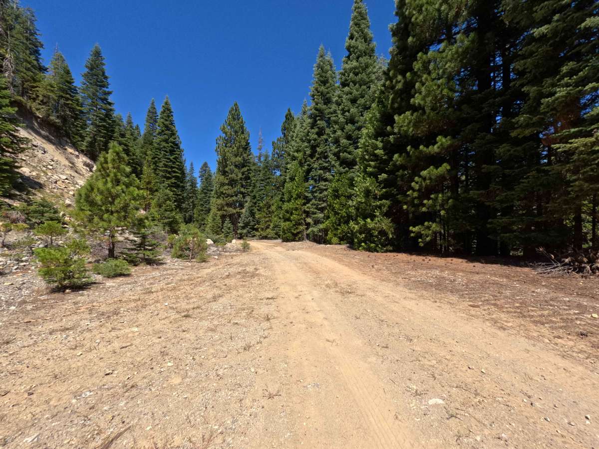
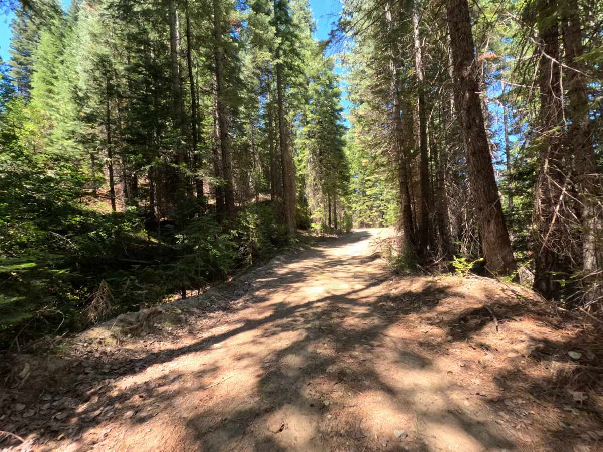
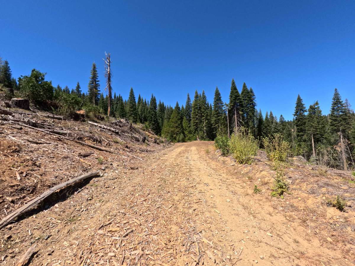
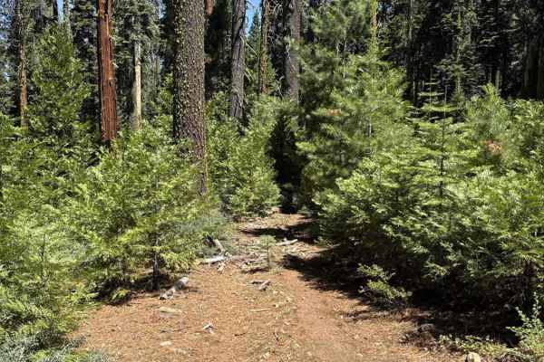
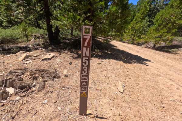
Branching off Forest Road 7N09, Forest Service Road 7N15 functions as an out-and-back forestry spur traversing mixed-conifer timberlands within the Stanislaus National Forest and adjoining Sierra Pacific Industries acreage. The route cuts through a towering stand of mature pines and firs, flanked in sections by open timber harvest clearings and piled forest slash. Maintained as a broad, single-lane dirt roadbed engineered for heavy resource equipment, the trail carries an accessible difficulty rating of 1. While primarily serving administrative forestry operations and timber stewardship, motorized recreationists in high-clearance rigs, ATVs, and dual-sports explore this short spur for a quick, tranquil detour through the shaded woods. The track maintains a gentle, nearly level grade before quietly tapering out just past the mapped logging landing at the end of the maintained corridor.
Difficulty
Rated 1 out of 10, this spur provides an effortless, non-technical drive over a broad and level native dirt surface. The travel lane remains wide, predictable, and firmly packed throughout, completely free from exposed rock ledges, deep water ruts, washouts, or off-camber articulation hazards. Roadside clearance is generous, presenting minimal risk of brush contact. Drivers can travel at a steady, leisurely pace and use the wide landing clearing at the road's end to complete a simple, hassle-free turnaround.

 Offroad