Trail Overview
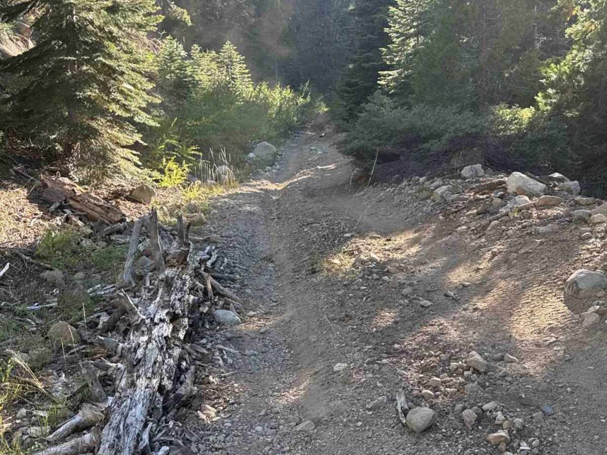
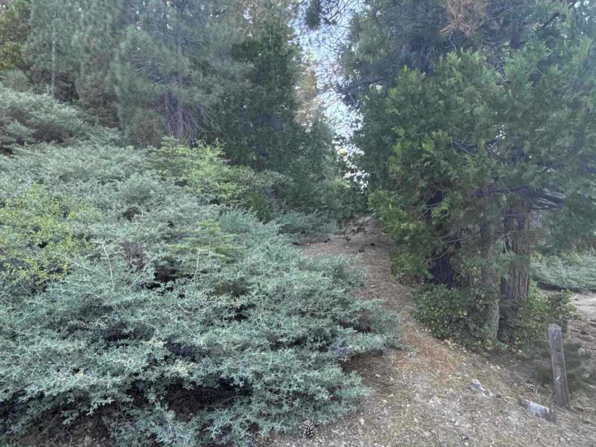
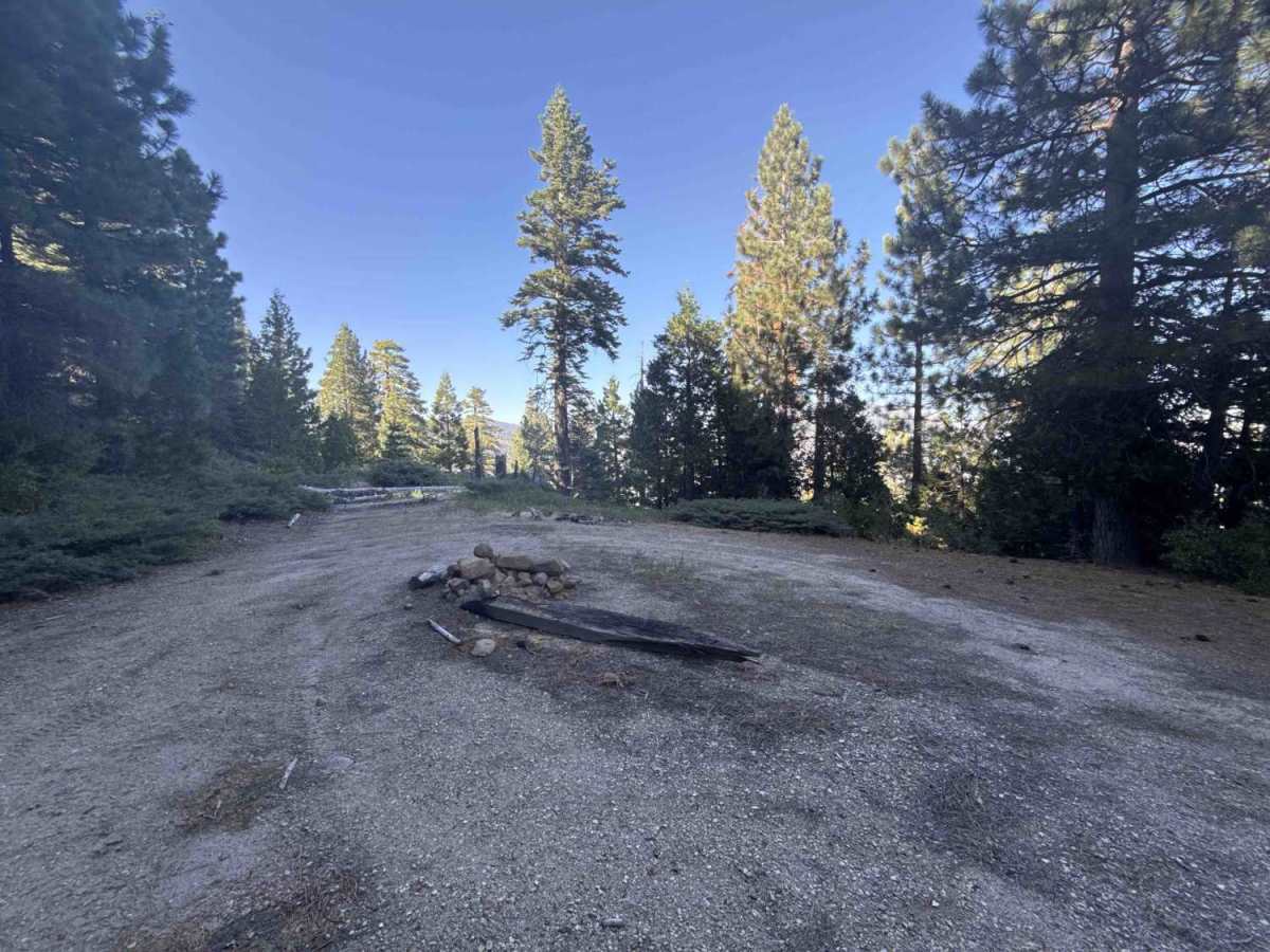
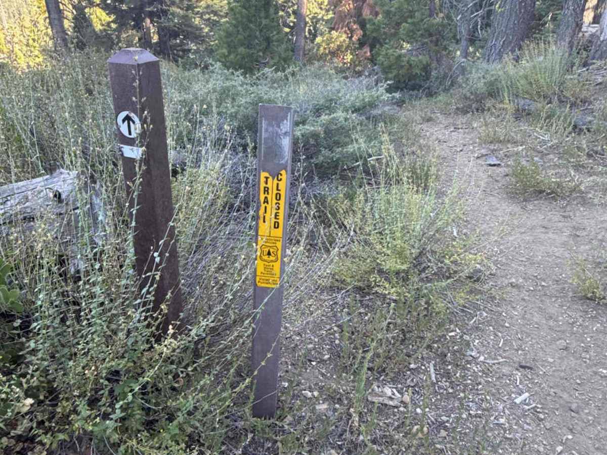
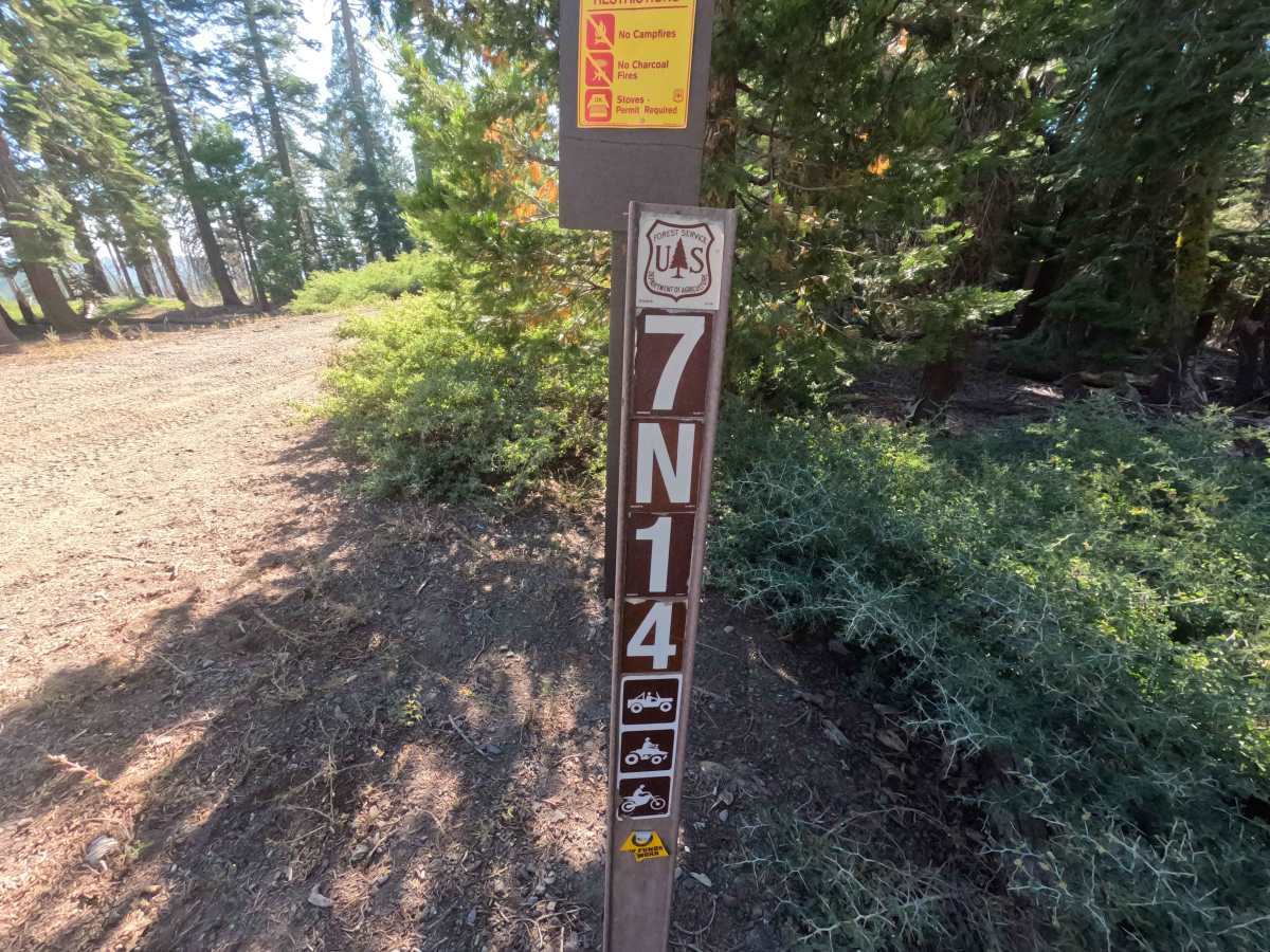
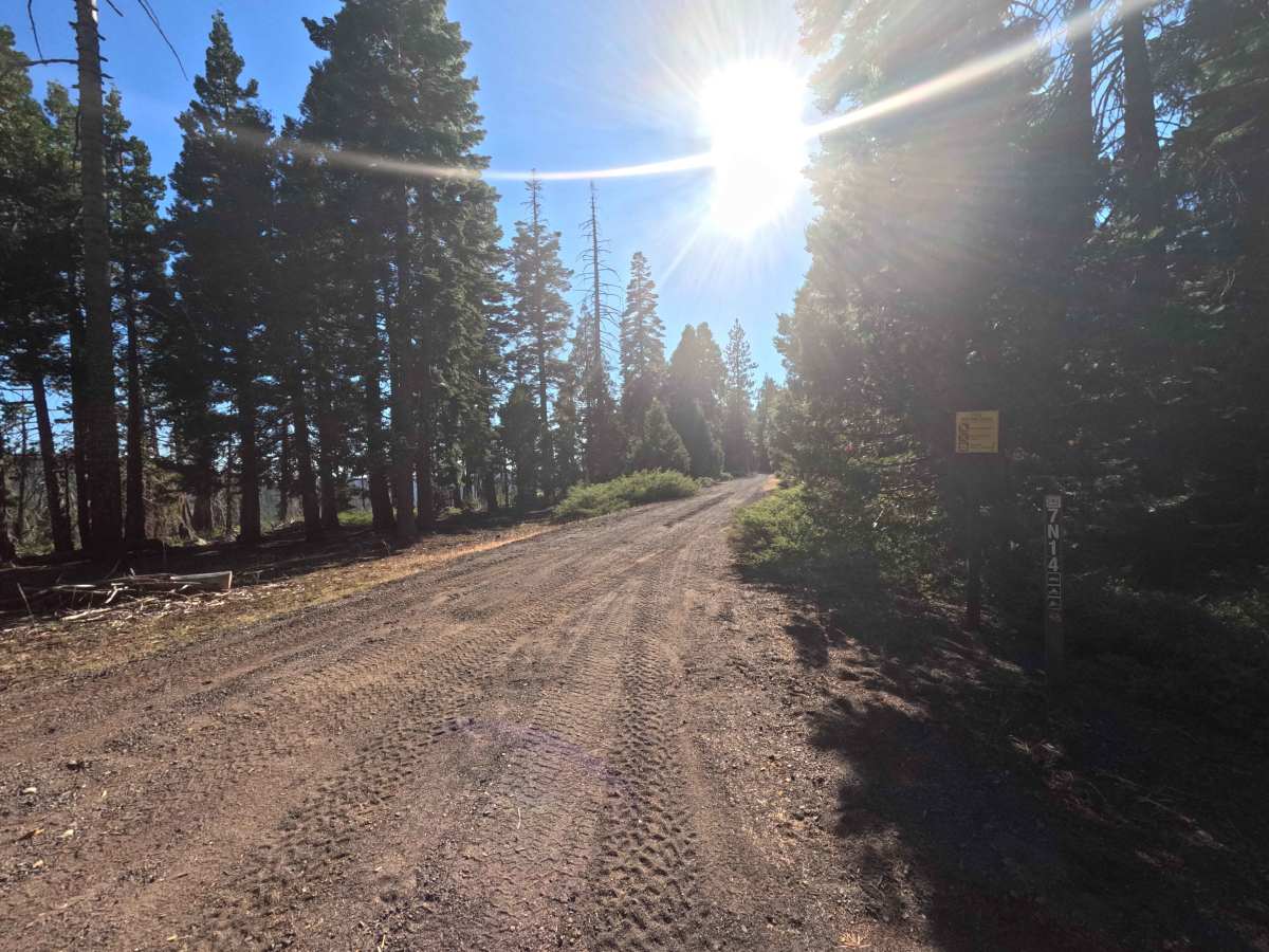
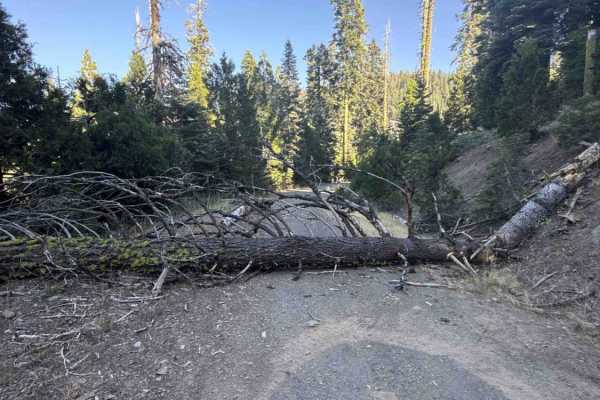
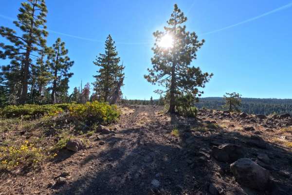
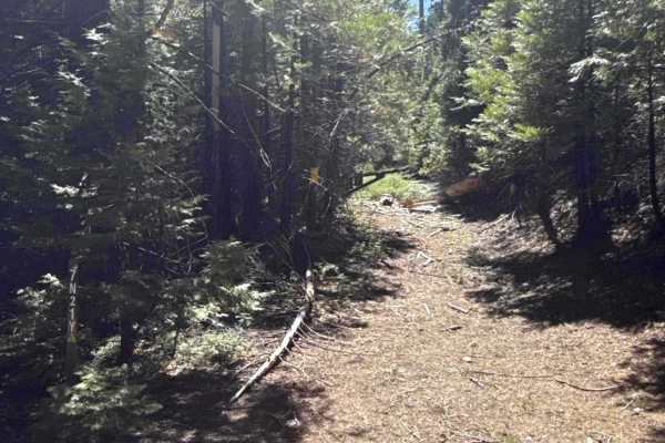
Branching west off Forest Road 7N09, Forest Service Road 7N14 is a secluded out-and-back woodland spur winding into the scenic backcountry of Stanislaus National Forest. The route travels beneath a dense, shaded canopy of towering pines and firs with vibrant mountain brush lining the corridor. Motorized travelers utilize this peaceful track to access an isolated dispersed campsite near the end or connect to the non-motorized Mokelumne Coast to Crest Trail (MC2CT) trailhead. The single-lane roadbed consists of firm, well-maintained gravel and hard-packed soil that gently follows the terrain. Fallen timber has been cleanly sawed back to preserve adequate passage, leading to a spacious dirt clearing where the unmaintained road naturally concludes.
Difficulty
Rated a 2, this trail offers a gentle, straightforward excursion over a mostly smooth dirt and gravel surface. Obstacles are minimal, though drivers should remain alert for occasional shallow ruts, scattered small stones, and narrow sections where light roadside brush brushes against vehicle sides. Maintaining a steady, measured pace and choosing clean lines over minor uneven patches ensures a completely stress-free ride.