Trail Overview
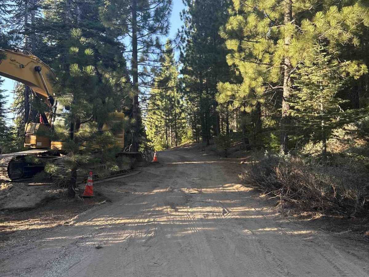
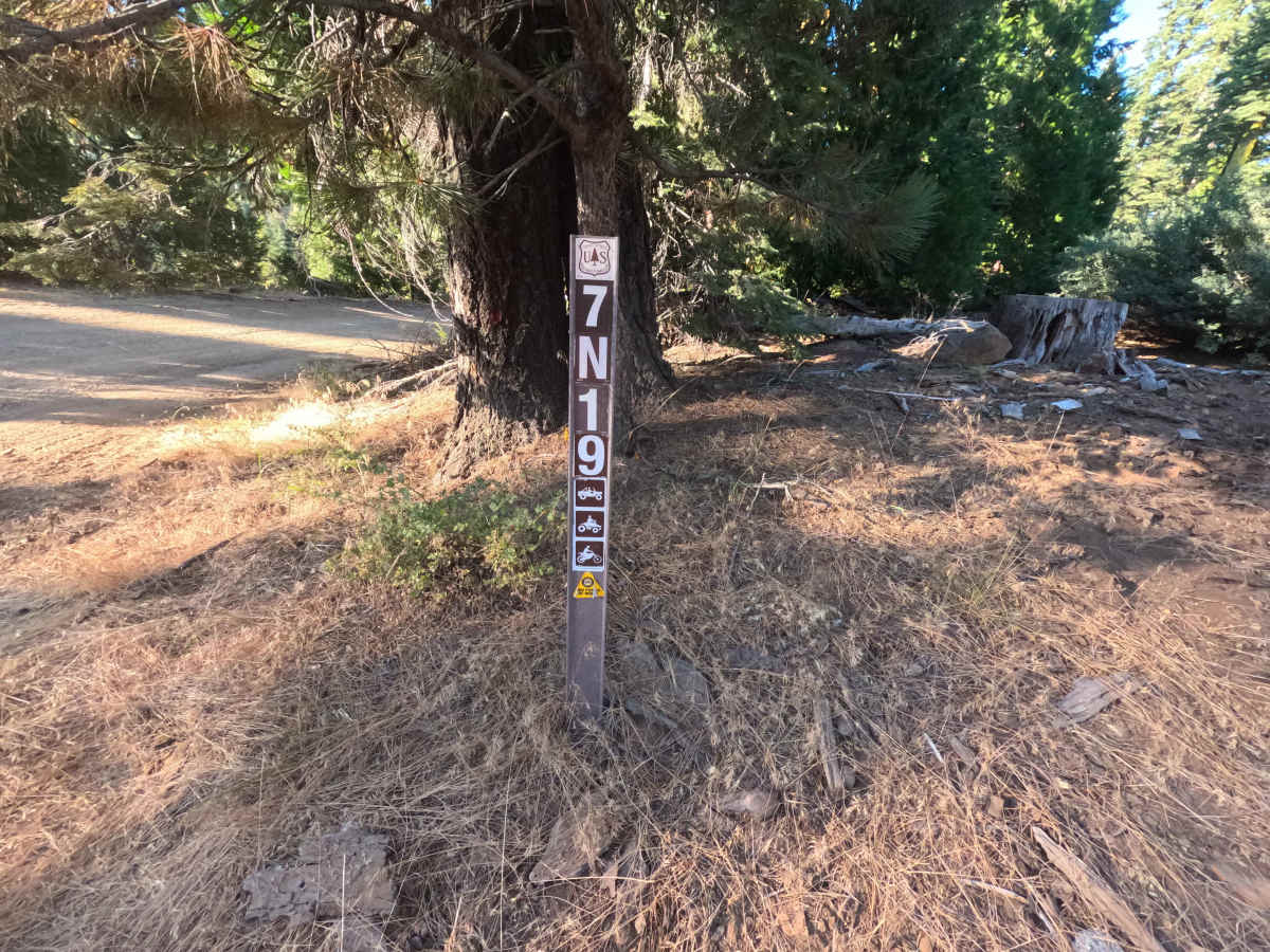
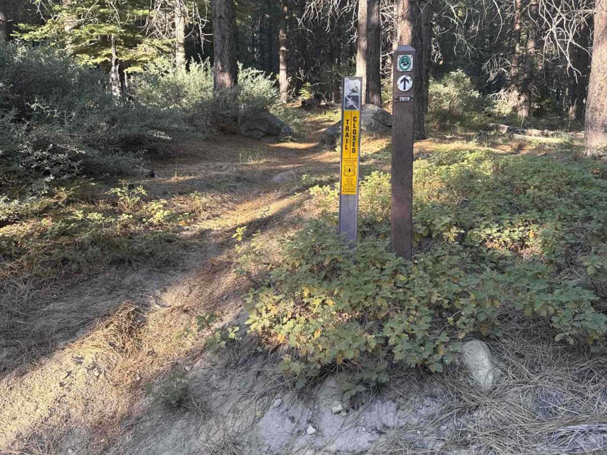
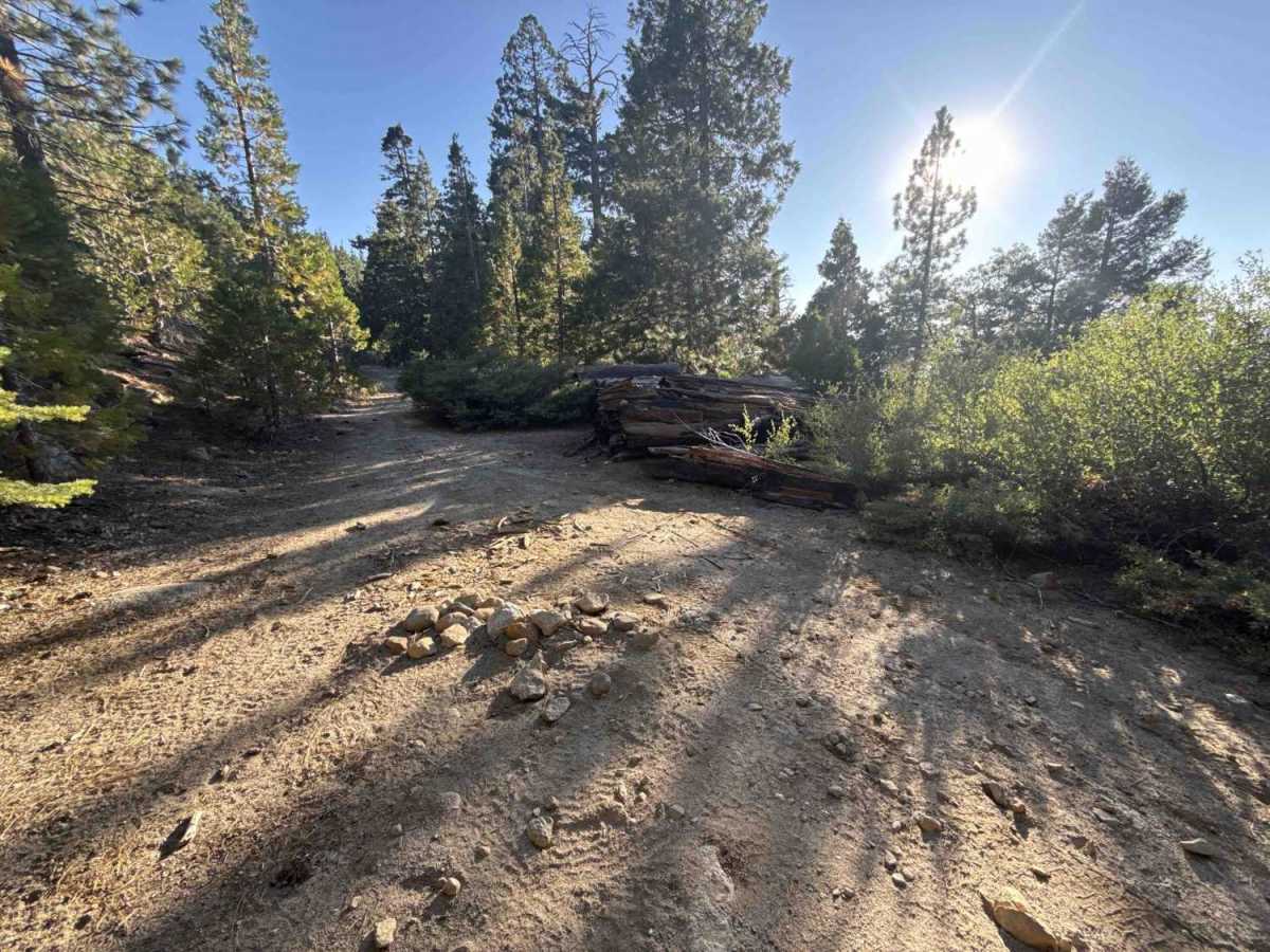
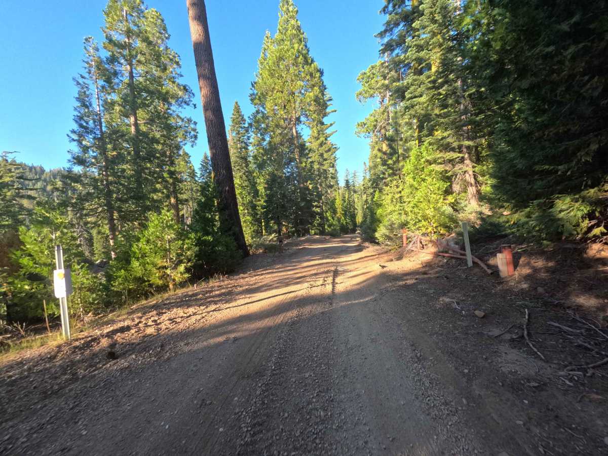
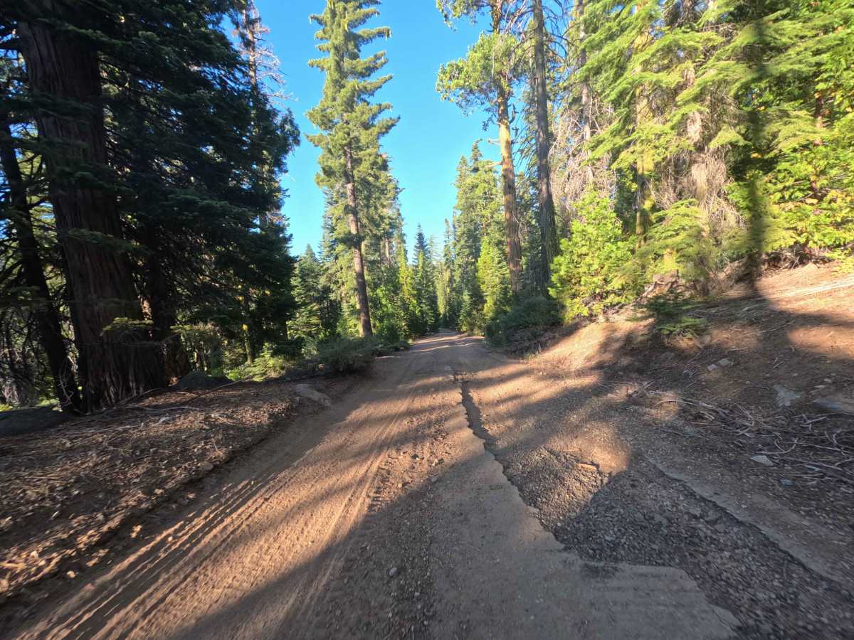
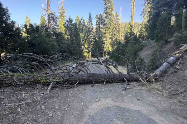
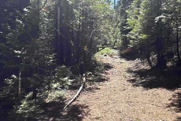
Branching off FS 7N09, FS 7N19 is an out-and-back mountain spur nestled in the remote northwestern backcountry of Stanislaus National Forest. The trail climbs through dense, shaded stands of mature pines, firs, and fragrant mountain cedar. While primarily serving as an administrative and timber access route, outdoor travelers also use the corridor to reach an isolated dispersed campsite near the terminus and access the regional Mokelumne Coast to Crest Trail (MC2CT). The lower stretch features a wide, well-maintained single-lane track composed of packed native dirt and crushed gravel. Past the junction with FS 7N76Y, the road steadily ascends before transitioning into a rougher, unmaintained surface lined with scattered forest duff, wood debris, minor puddle depressions, and loose surface rock.
Difficulty
Rated a 2, this trail delivers a relaxed, low-intensity backcountry drive over a stable earth and gravel surface. Surface conditions become slightly bumpier along the upper half where maintenance ceases, introducing small embedded stones, light washboard chatter, and loose woody debris along the track. Maintaining a gentle, steady pace and choosing clean lines over minor ruts and shallow puddles will provide a smooth, comfortable ride.