FS 6N90Y

Total Miles0.6
Technical Rating
2Easy
Best TimeSpring, Summer, Fall
Trail TypeFull-Width Road
Accessible By
Open Trail Map

Trail Overview

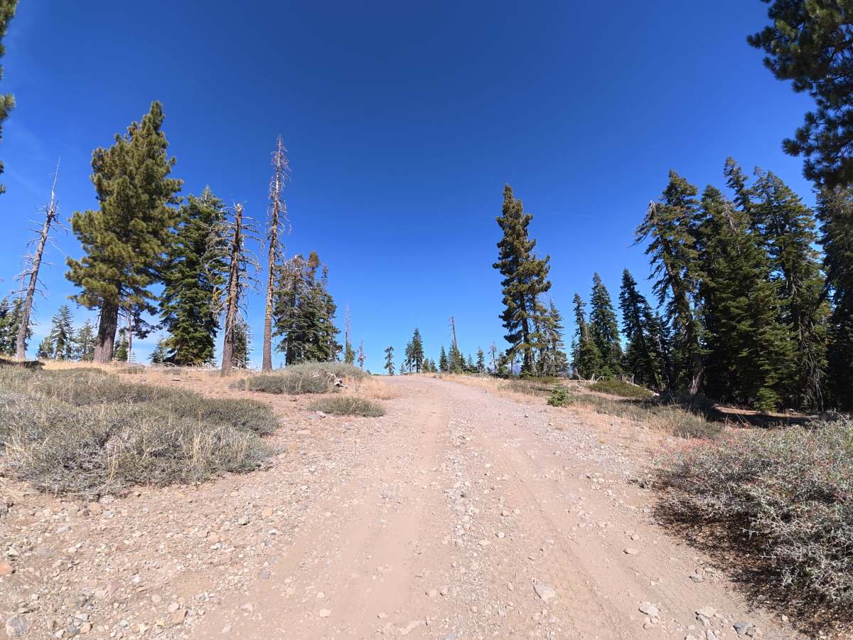
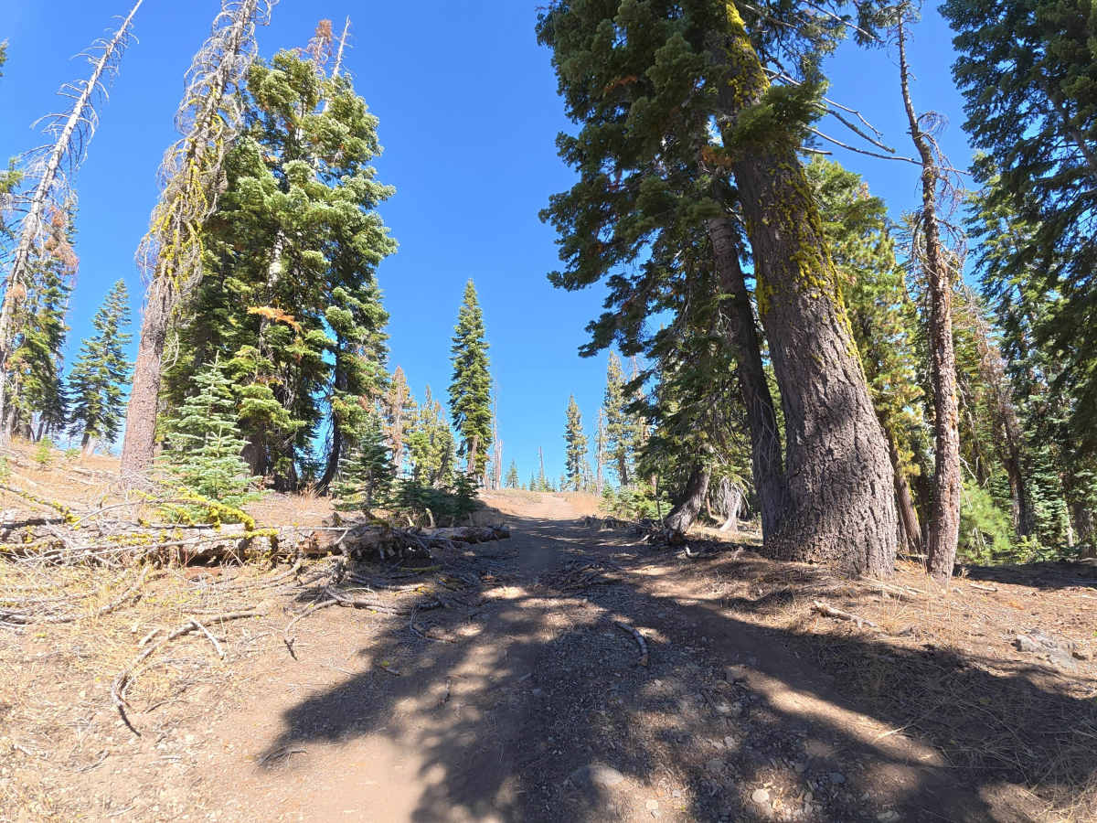
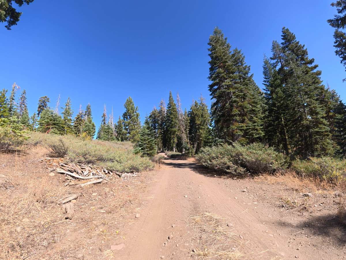
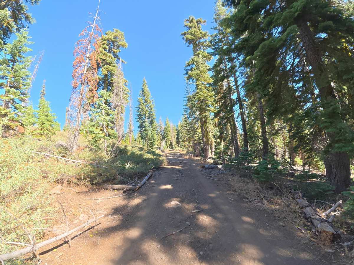
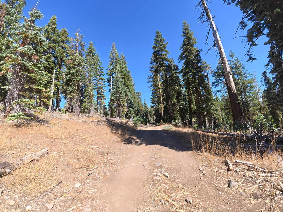
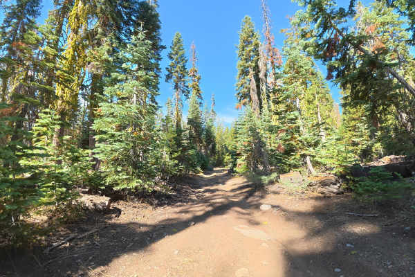
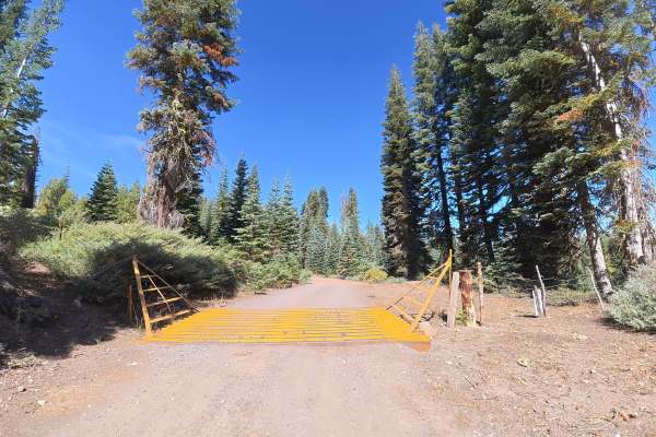
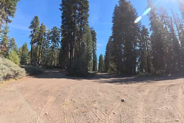
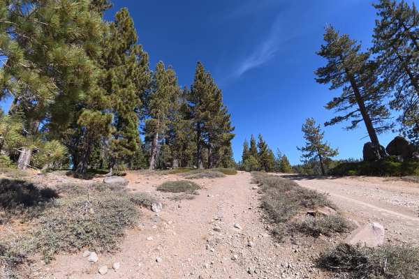
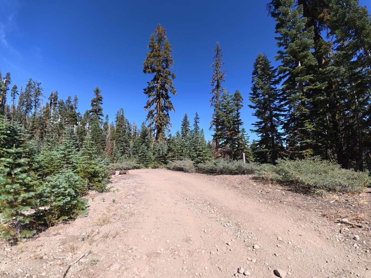
This narrow, fine-dirt trail descends farther down the hillside with little room for vehicles to pass. Ruts begin around 4–6 inches deep, with frequent rocks and rock gardens along the route. Cut timber and fallen trees surround portions of the trail, requiring careful maneuvering between them. Around 0.6 miles, multiple downed trees completely block the route and prevent further travel. Around 0.3 miles, two large campsites sit across from each other. One accommodates up to eight vehicles with level, shaded ground, while the other accommodates up to six vehicles and includes a fire ring, level ground, and excellent mountain views.

Photos of FS 6N90Y

Difficulty

This trail is rated Level 2 because of the 4–6 inch ruts, rocky terrain, narrow trail, and cut timber requiring careful maneuvering. At the time of mapping, the route was impassable beyond 0.6 miles due to multiple downed trees.

Technical Rating

2

FS 6N90Y Trail can be accessed by the following ride types:

  • Single Track
  • 50 Inch
  • 60 Inch
  • High Clearance
  • Full Width

FS 6N90Y Map

The onX Offroad Difference

onX Offroad combines trail photos, descriptions, difficulty ratings, width restrictions, seasonality, and more in a user-friendly interface. Available on all devices, with offline access and full compatibility with CarPlay and Android Auto. Discover what you're missing today!

Open Trail Map