Trail Overview
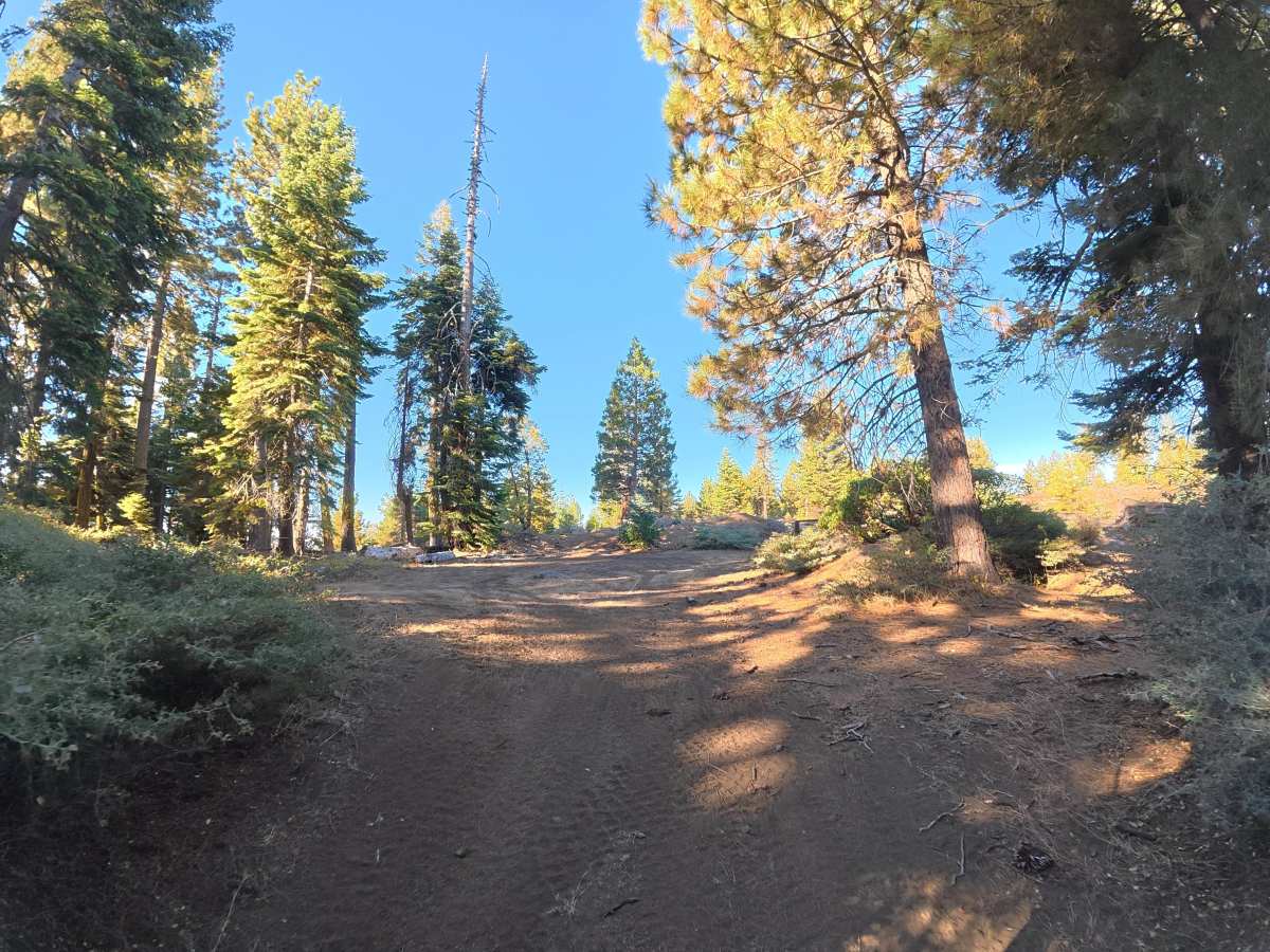
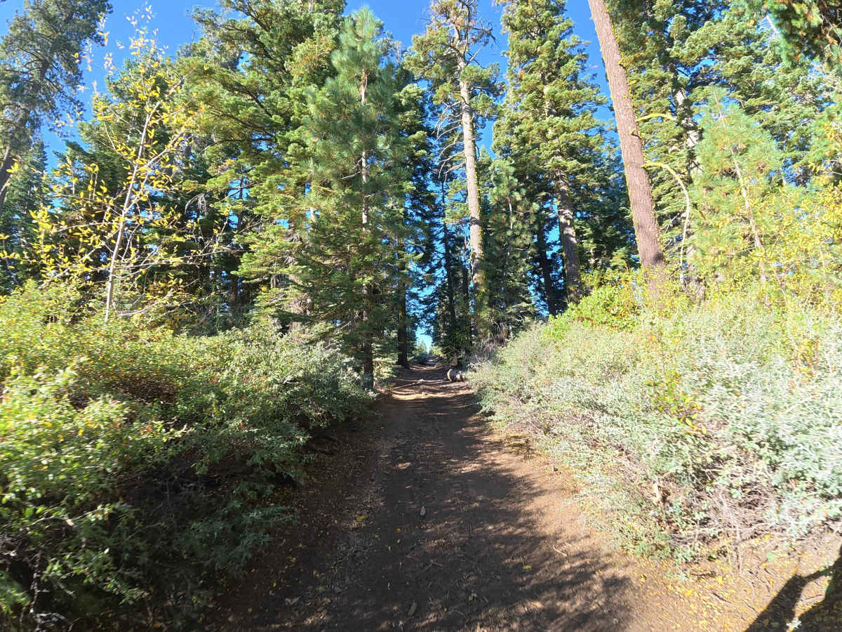
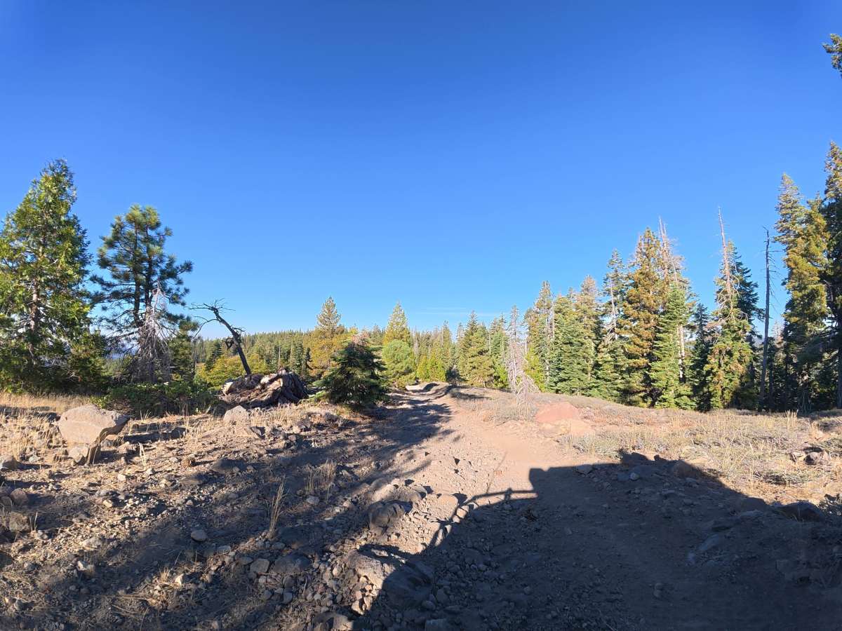
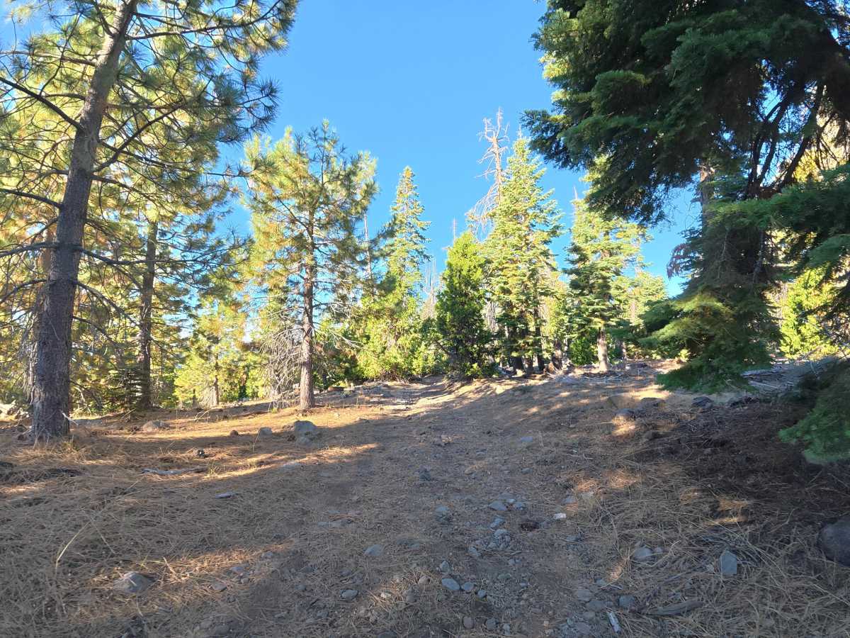
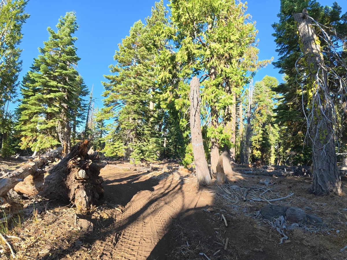
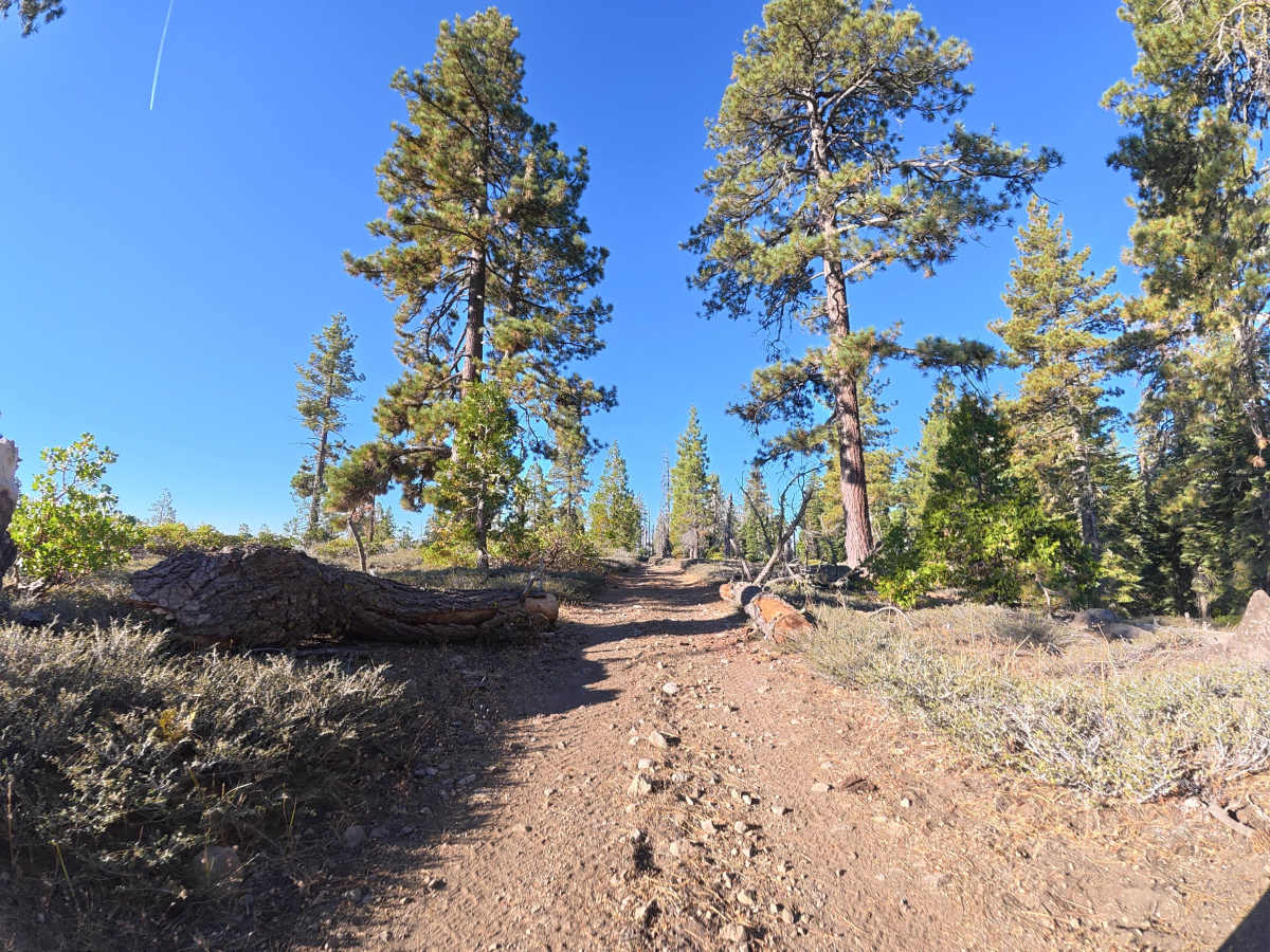
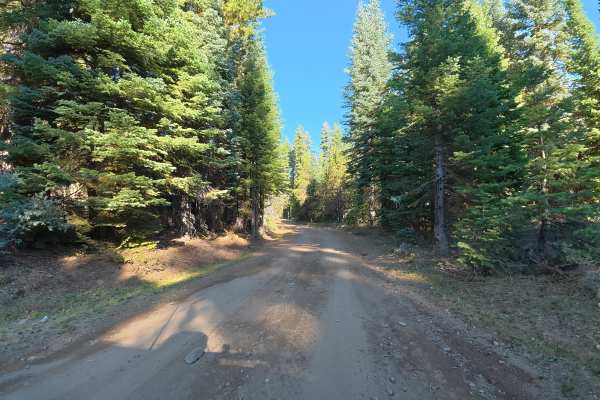
This narrow trail descends through the hillside, weaving between tight trees and frequent rock gardens with 4–8 inch rocks. Ruts reach 6–10 inches deep, with approximately 8 feet of overhead clearance from branches. Around 0.4 miles, a long downhill rock garden includes 4–8 inch ledges, while around 0.8 miles the trail becomes significantly narrower with cut trees close to the route. Heavy overgrown vegetation makes pinstriping unavoidable in some sections. Around 0.2 miles, the dense forest opens to expansive views of the surrounding mountains and forest, with a level campsite accommodating up to five vehicles. Additional campsites around 0.6 and 0.9 miles offer level ground and mountain views. The route ends at a gate preventing access to private property, with a level, shaded campsite nearby accommodating up to three vehicles.
Difficulty
This trail is rated Level 3 because of the 6–10 inch ruts, extended rock gardens, 4–8 inch ledges, tight trees, and narrow downhill terrain. The 8-foot overhead clearance and unavoidable vegetation require additional care through several sections.