Trail Overview
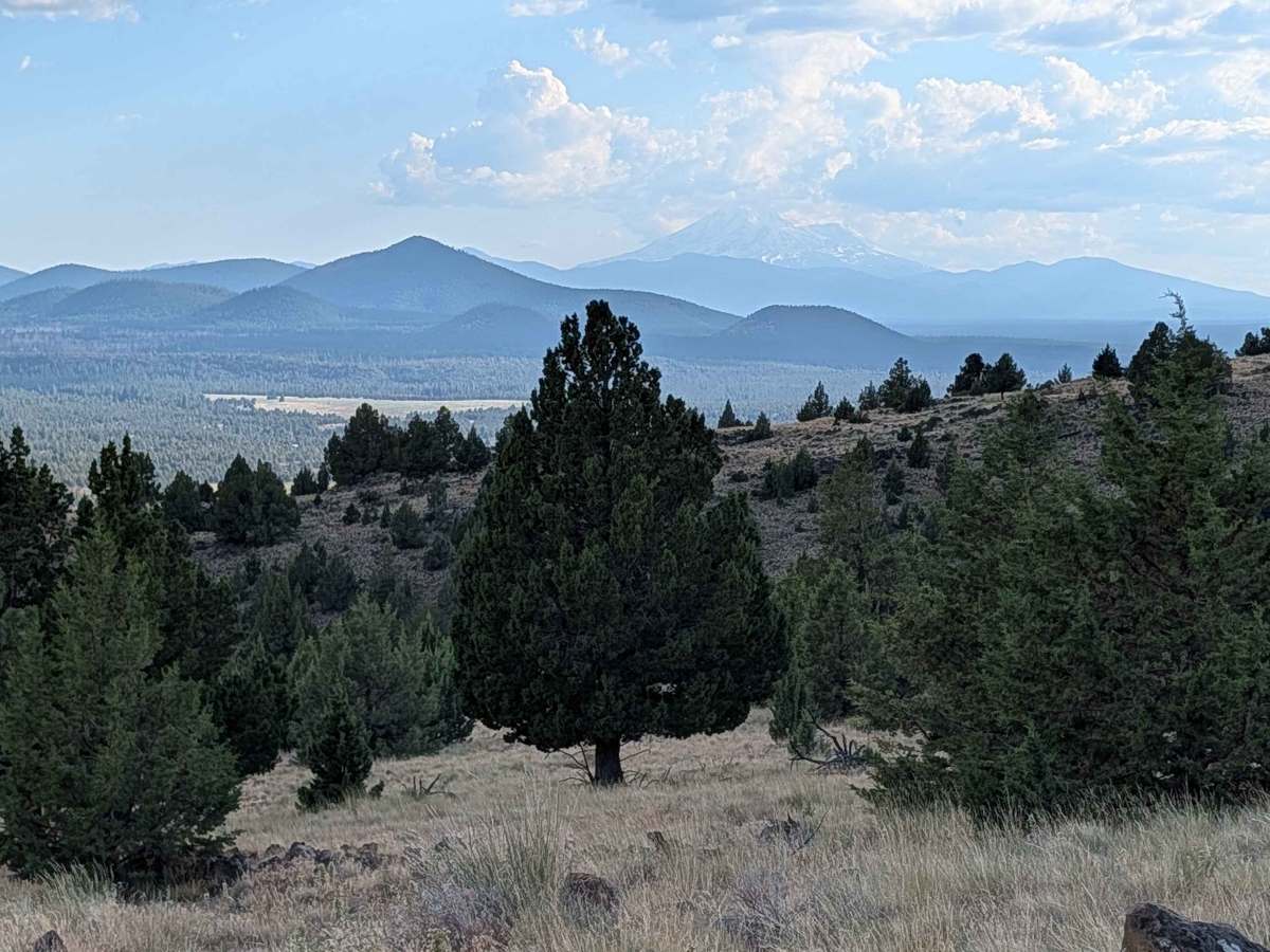
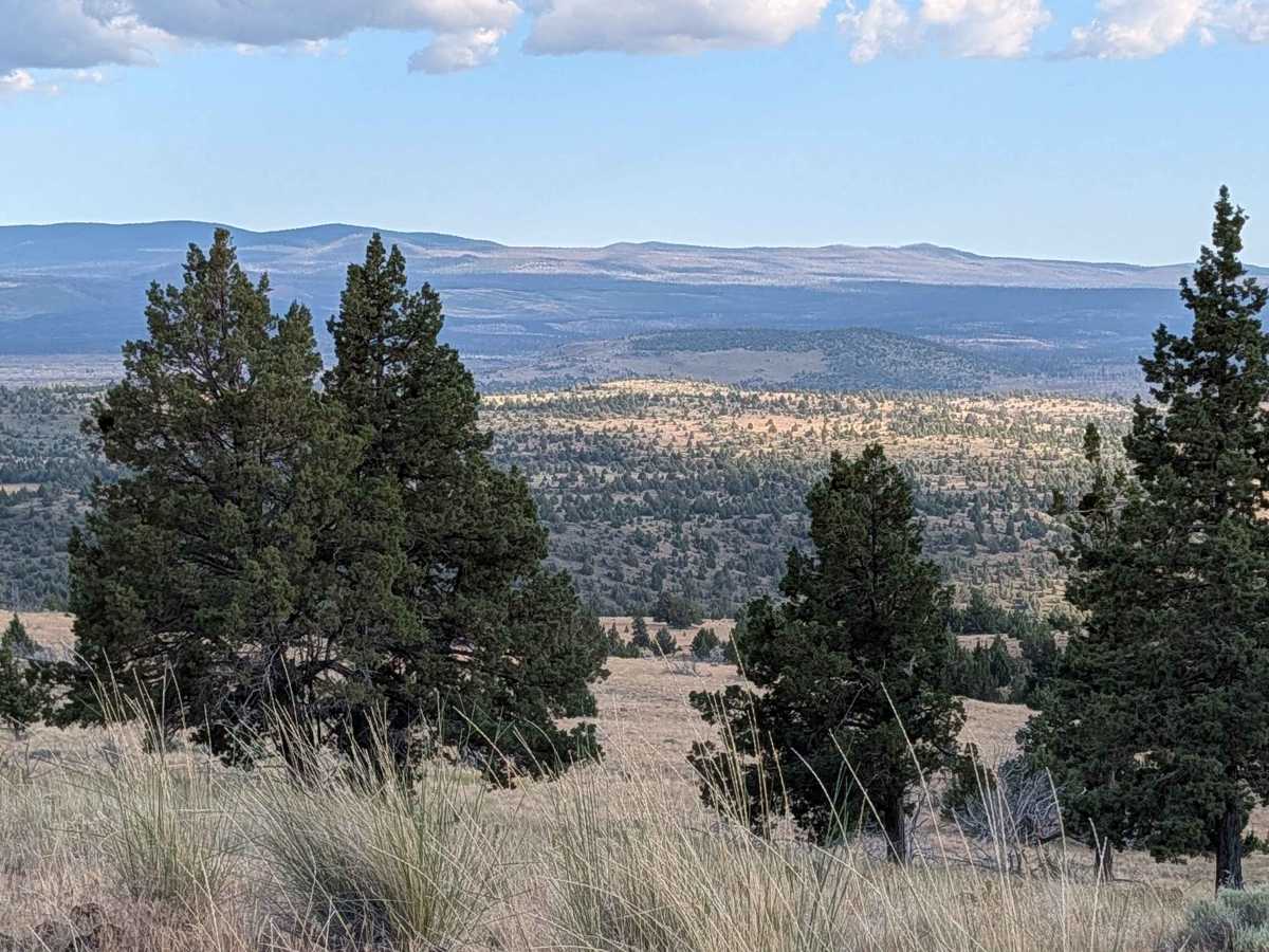
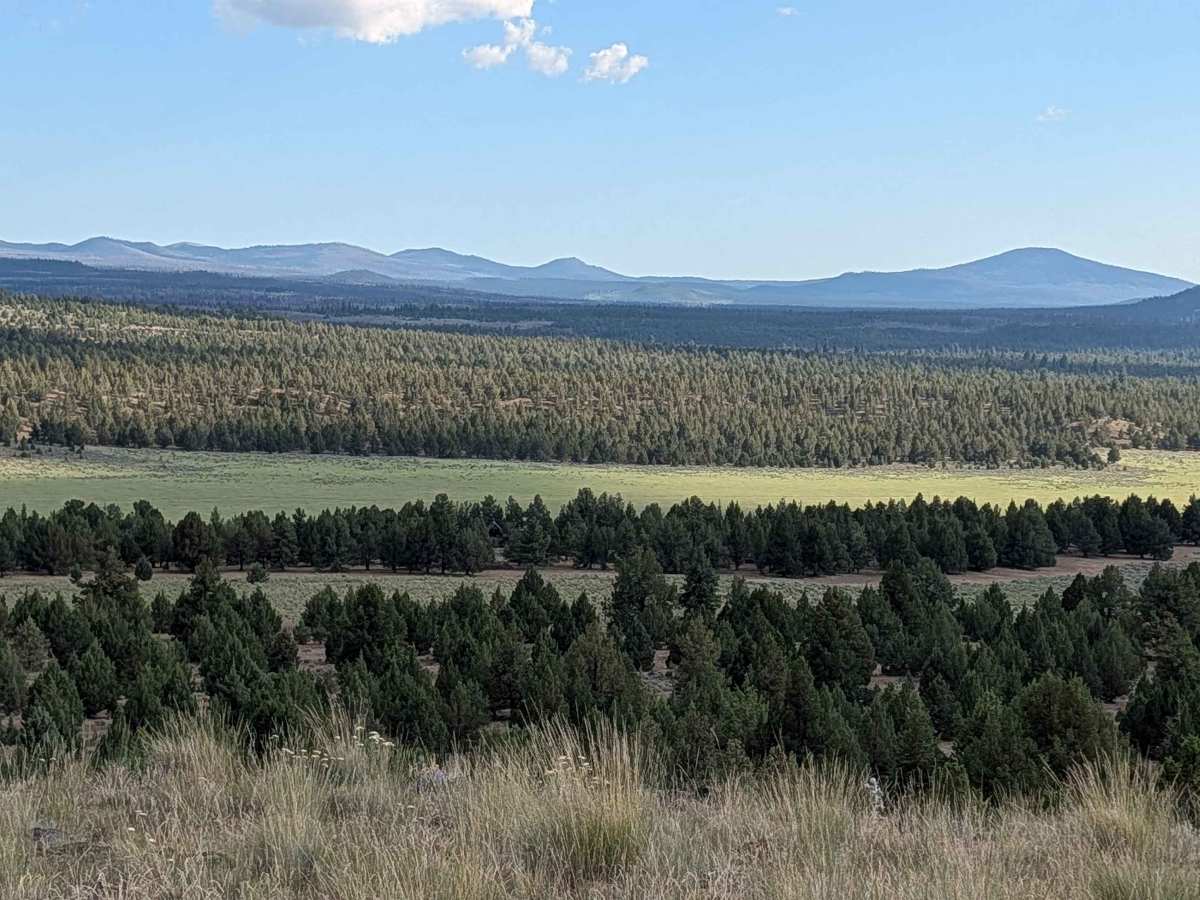
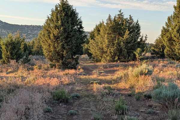
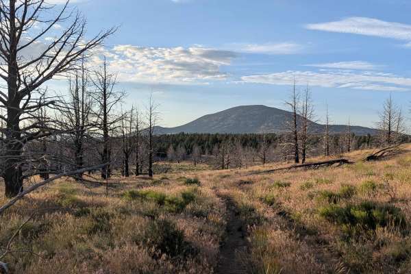
This 3-mile out-and-back trail serves as a demanding climb that begins and ends along the Gold Digger Pass. The route is defined by its steady vertical gain, ascending 500 feet over a span of just 1.5 miles. As the trail gains elevation, it breaks away from the lower terrain to offer stunning, high-altitude views of the surrounding mountain ranges, including the iconic peak of Mount Shasta. The latter portions of the trail transition into a forested environment where trees line the path closely; while this provides a pleasant woodland atmosphere, the narrow clearance between trunks poses a risk of "pinstriping" your vehicle’s exterior.
Difficulty
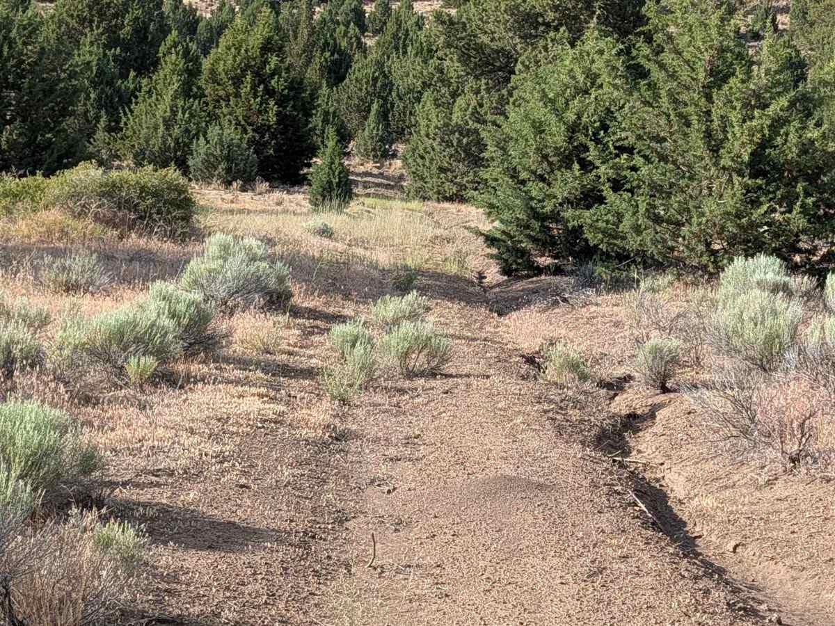
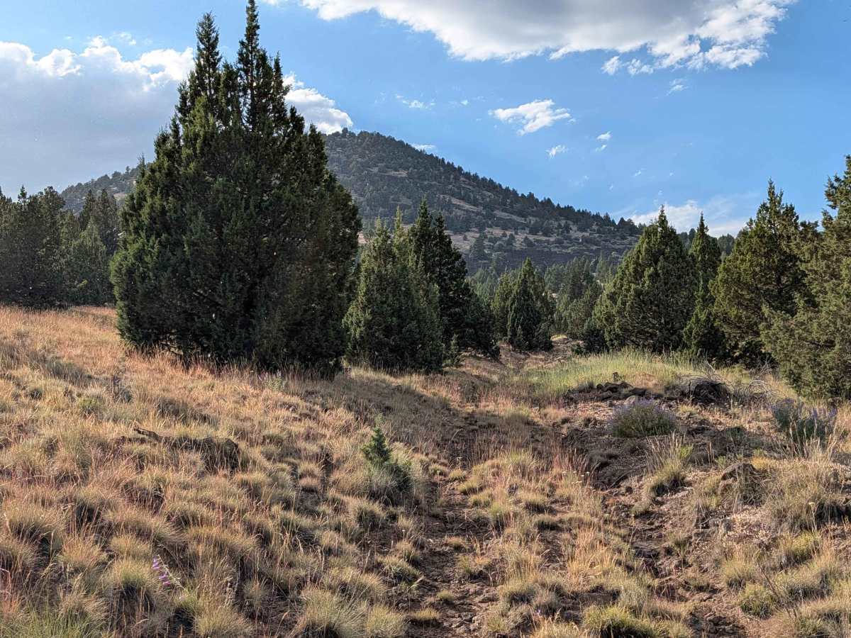
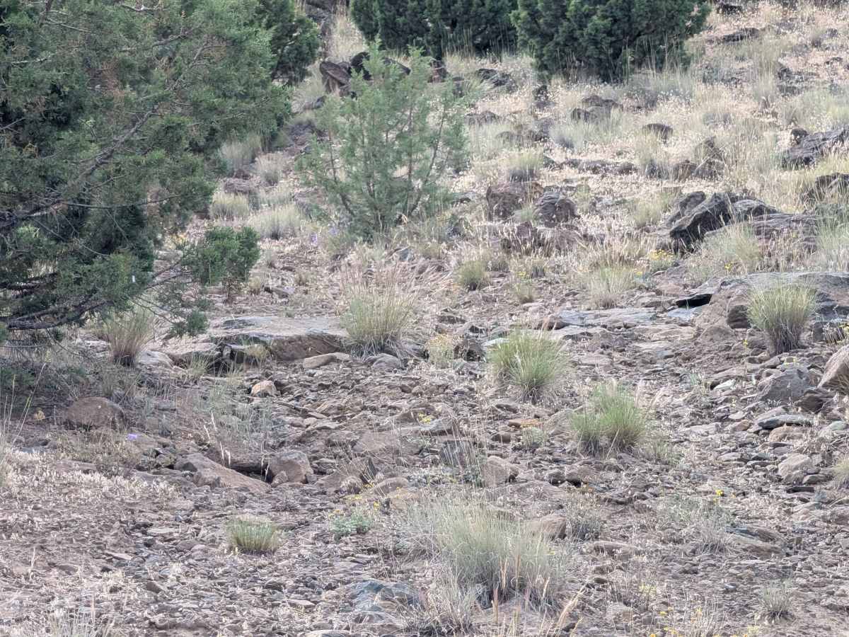
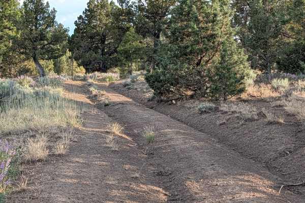
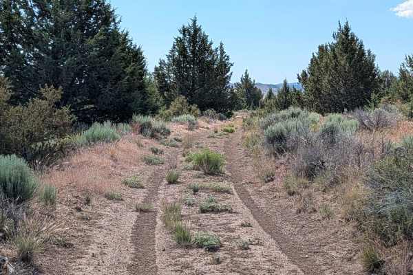
This is a technical rating 3 trail that requires four-wheel drive and high clearance. The path begins with 12-inch-deep runoff ruts and maintains a challenging surface of compact and loose dirt heavily interspersed with volcanic rocks, including loose sections and embedded stones up to soccer-ball size. Drivers will navigate ruts, off-camber sections, and steep hill climbs where traction control is highly recommended for heavier vehicles. To manage the rugged, rocky terrain and improve overall ride comfort, airing down your tires is strongly advised. The trail ends at a compact turn-around point, and due to the narrow tree spacing and steep, rutted climb, trailers are not recommended.

 Offroad