Trail Overview
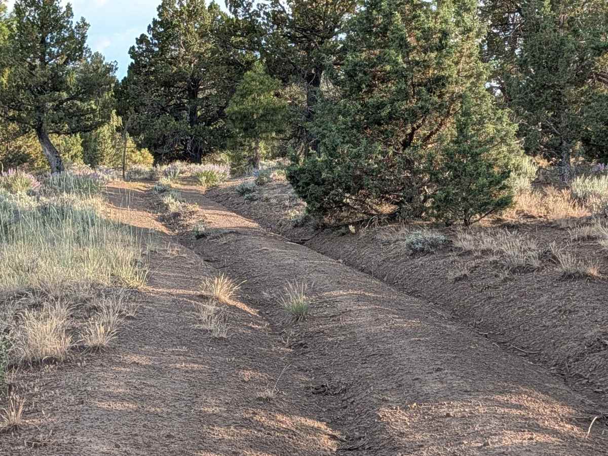
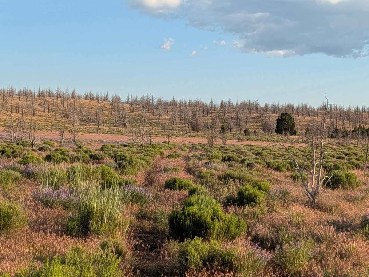
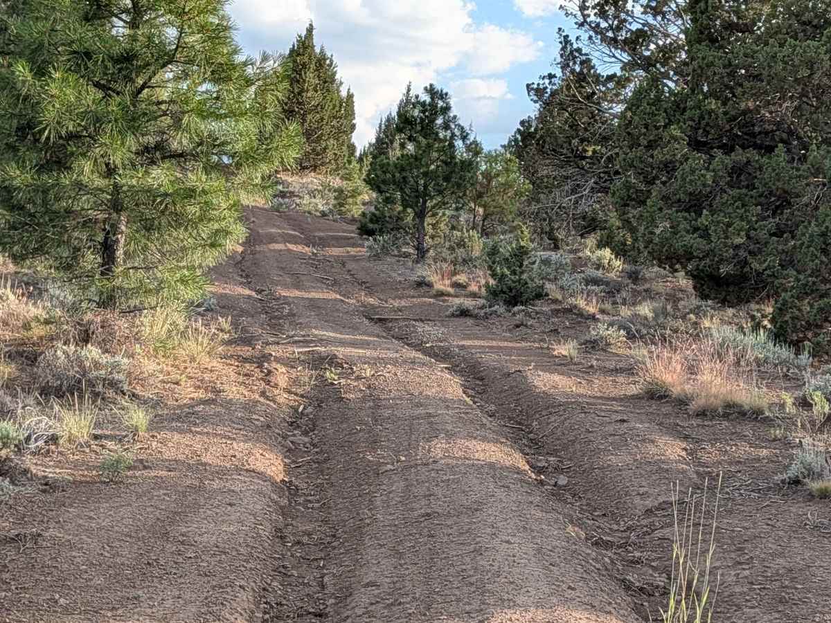
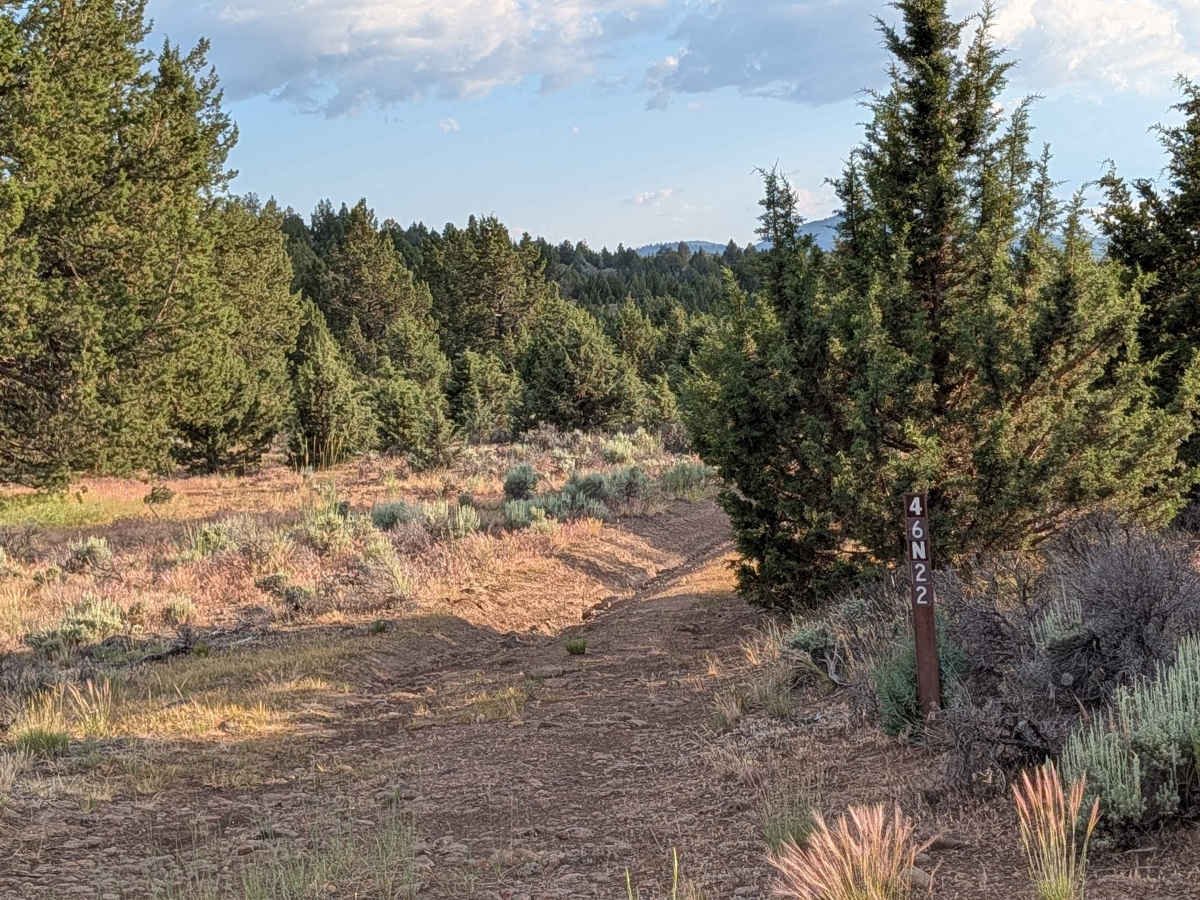
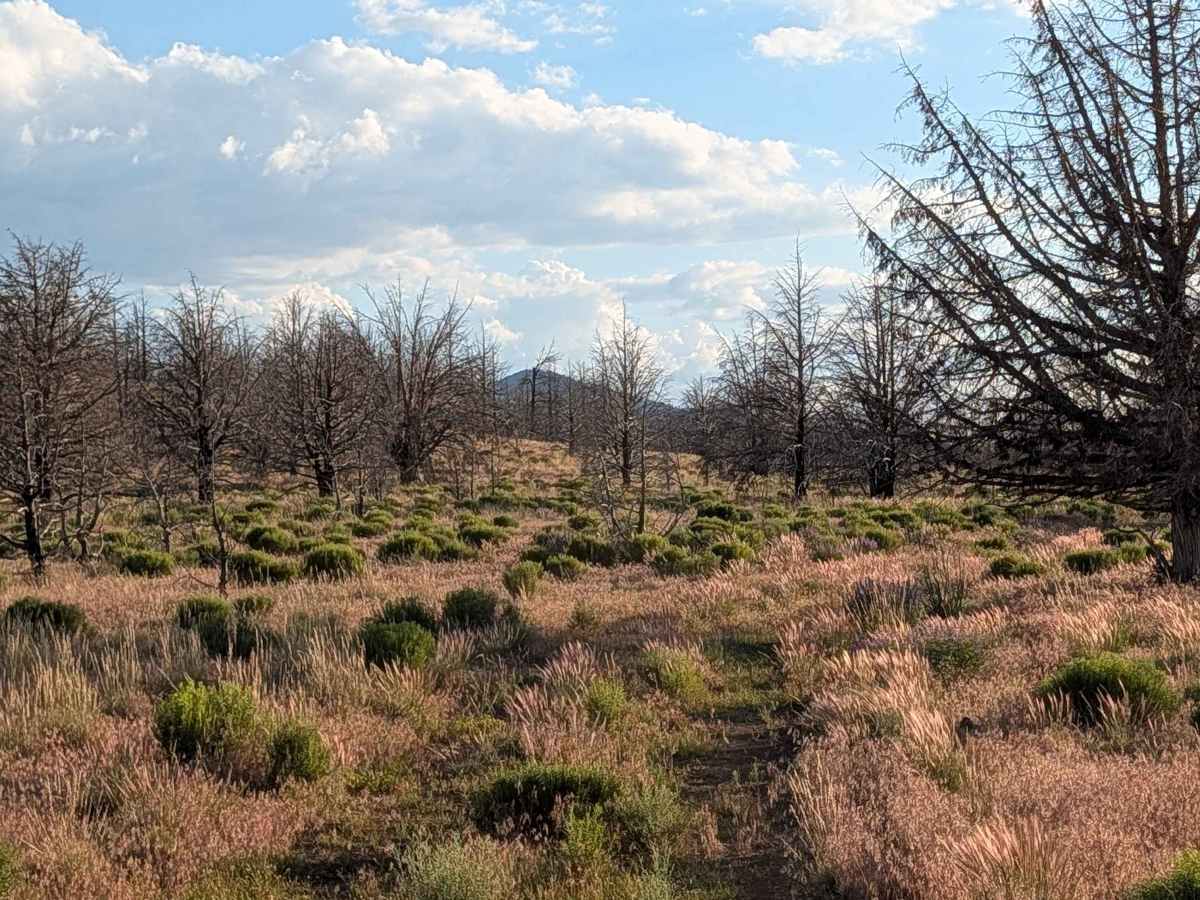
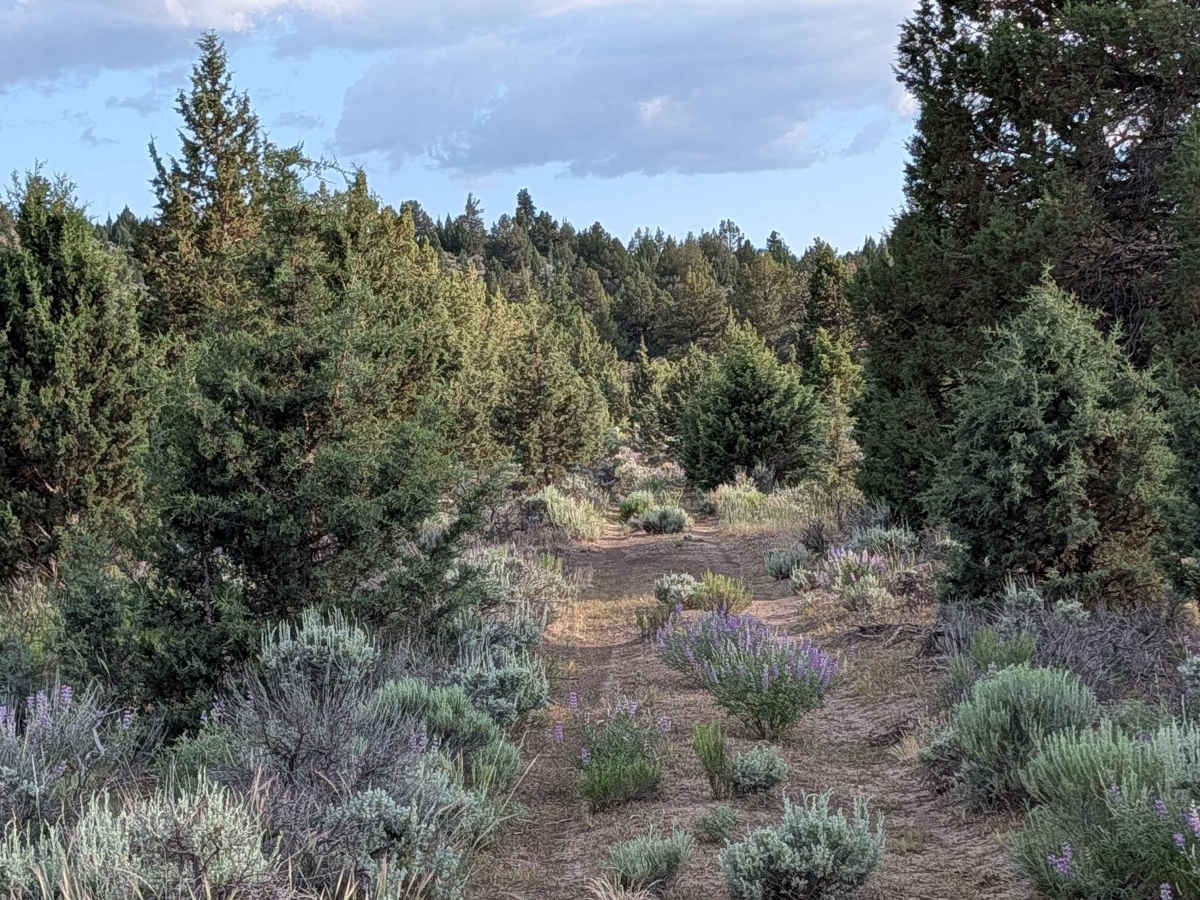
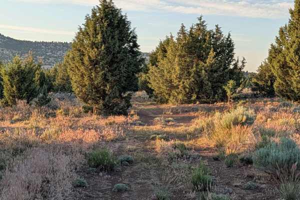
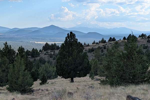
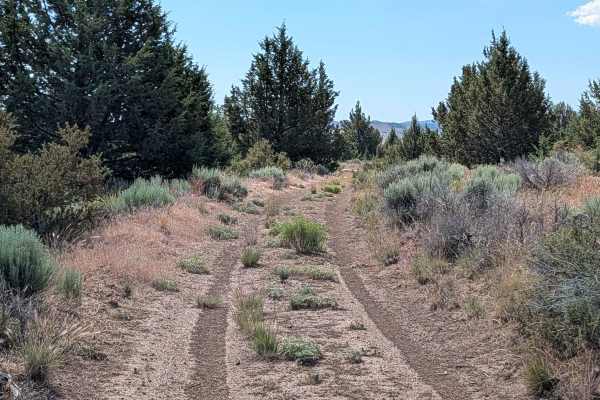
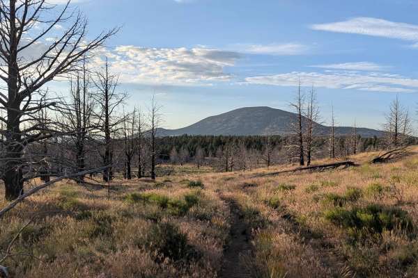
This 3.55-mile point-to-point route offers a diverse transition through the landscape, starting at Gold Digger Pass and terminating at FS 46A21K. The journey is defined by its changing scenery: the northern reaches are dense with pine trees, brush, and sagebrush, where seasonal wildflowers often brighten the path, while the southern half opens up into expansive spaces with fewer trees. As you approach the southern terminus near the former site of Bonito Lake (which is now dried up), the area reveals a stark, somber beauty where a stand of pines has sadly perished. Along the way, the trail drops in and out of small, ancient creek washes, providing a dynamic route that is excellent for those seeking dispersed camping opportunities throughout the corridor.
Difficulty
This rating 3 trail requires a careful, steady pace to navigate the varied obstacles. The surface is composed of dirt and small rocks, which create a consistently bumpy ride that is significantly smoothed by airing down your tires. Drivers will encounter runoff ruts and a series of small ledges, none exceeding 12 inches, along with the undulating terrain of the old creek washes. The dense vegetation presents a specific challenge; the pine trees in the northern section are spaced closely together, and branches frequently encroach on the track, which will likely result in pinstriping on your vehicle’s exterior. High clearance is recommended to safely navigate the ruts and wash crossings.