FS 43N80

Total Miles2.6
Technical Rating
2Easy
Best TimeSpring, Summer, Fall
Trail TypeFull-Width Road
Accessible By
Open Trail Map

Trail Overview

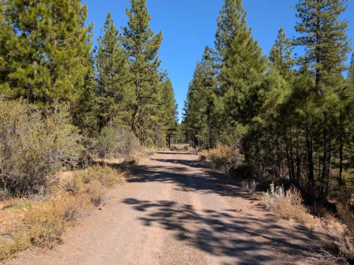
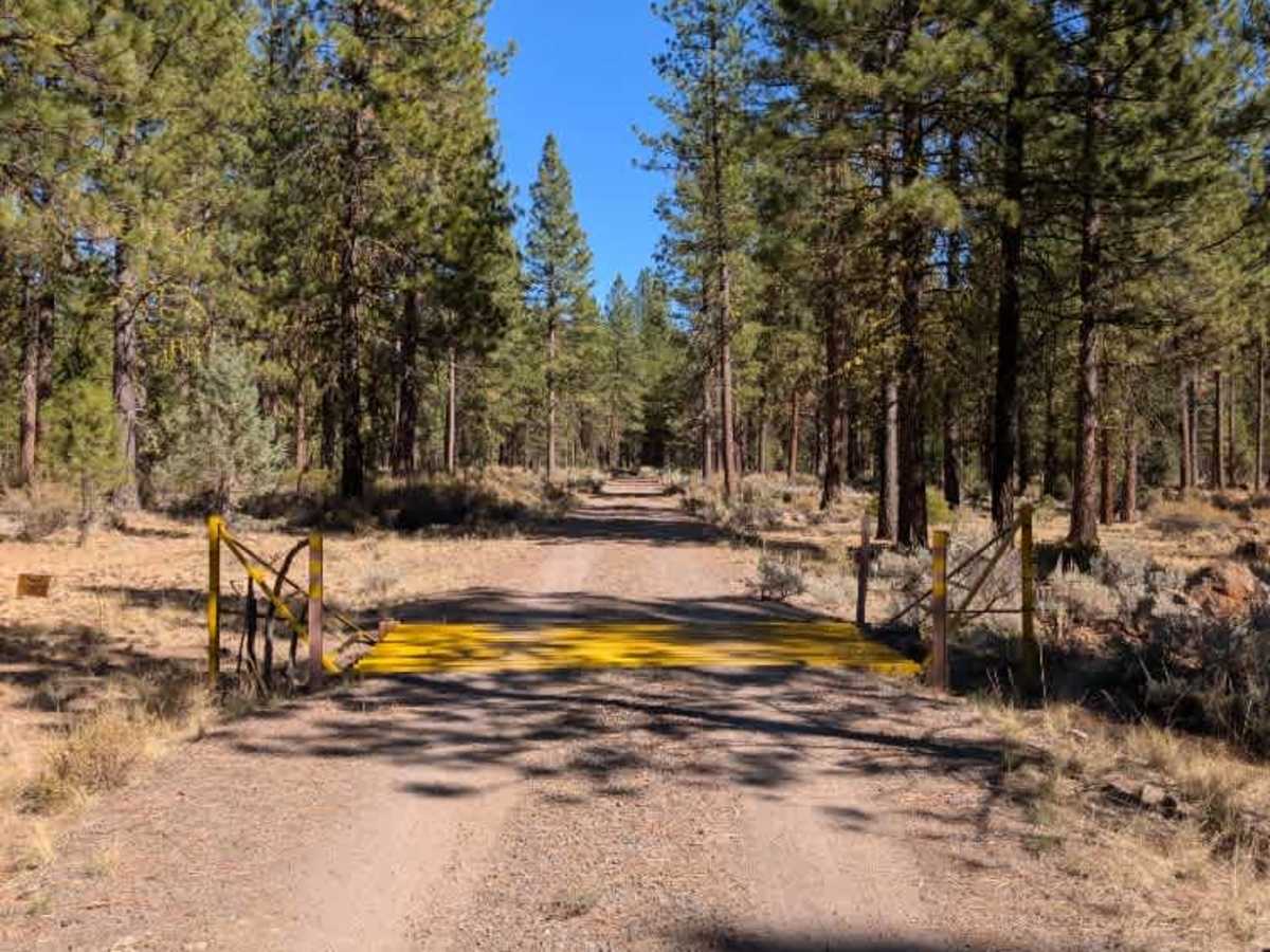
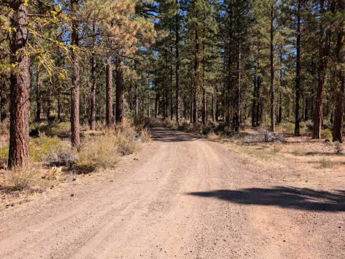
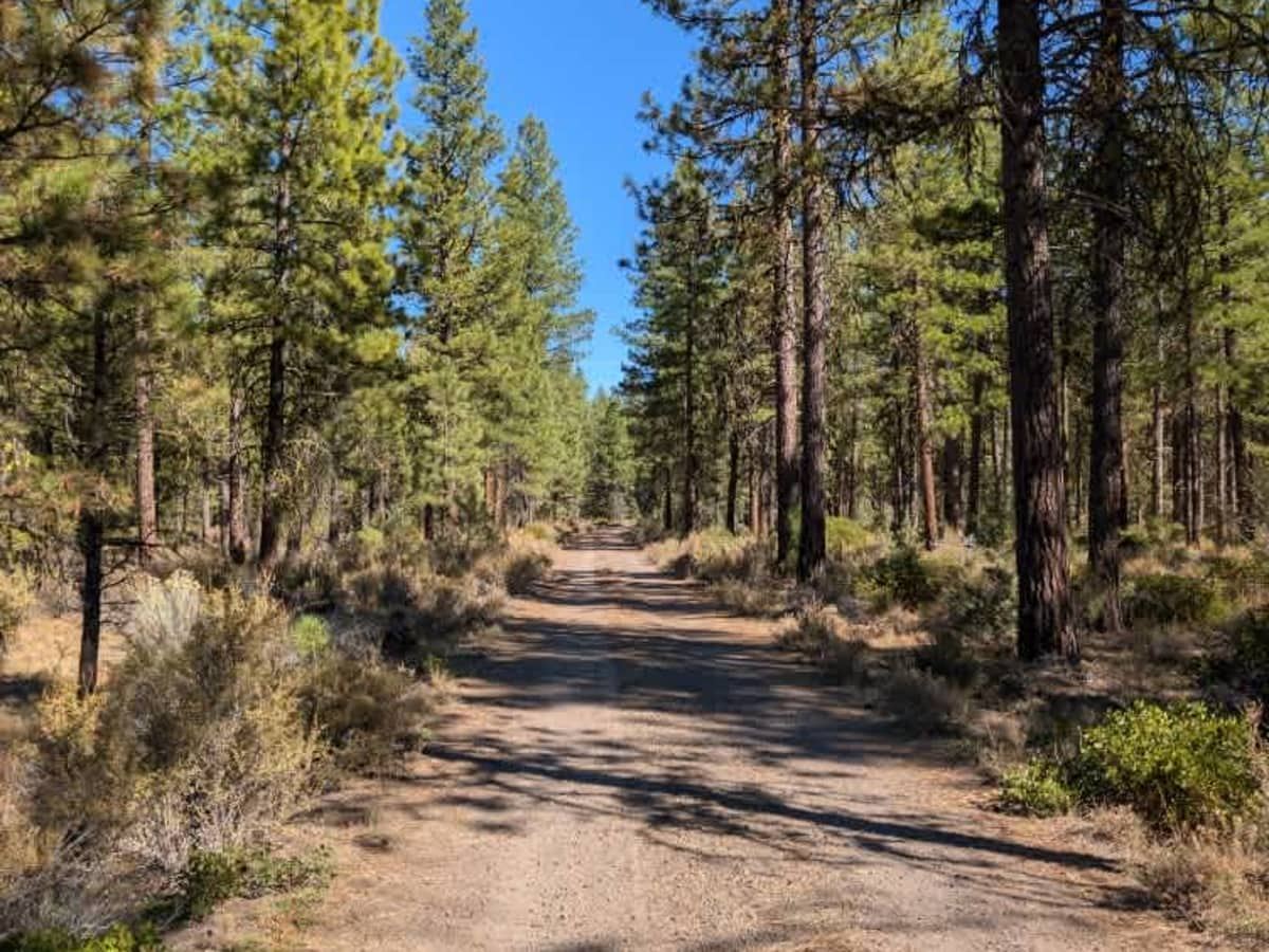
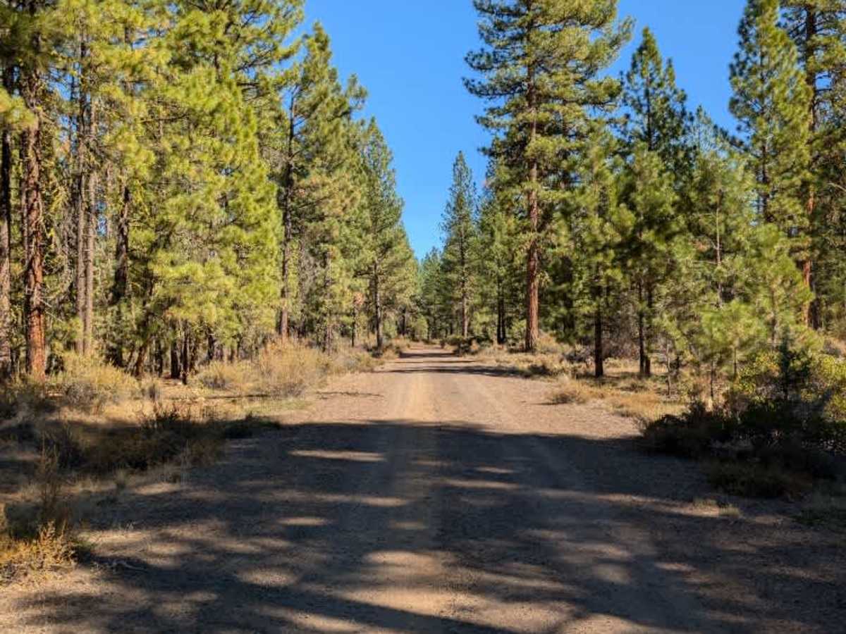
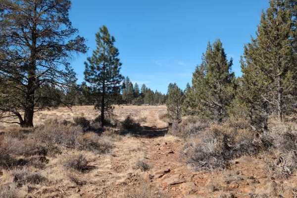
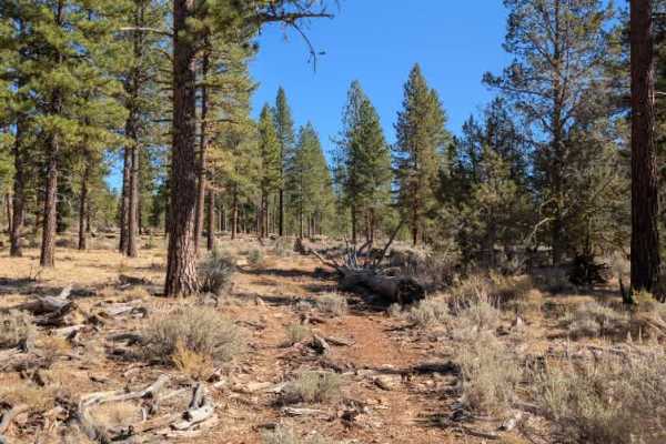
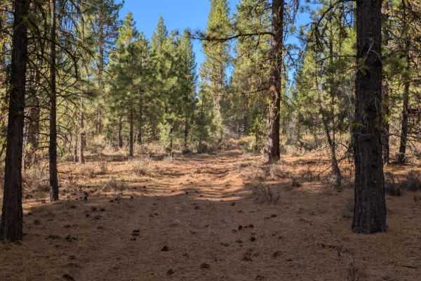
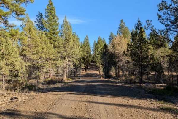
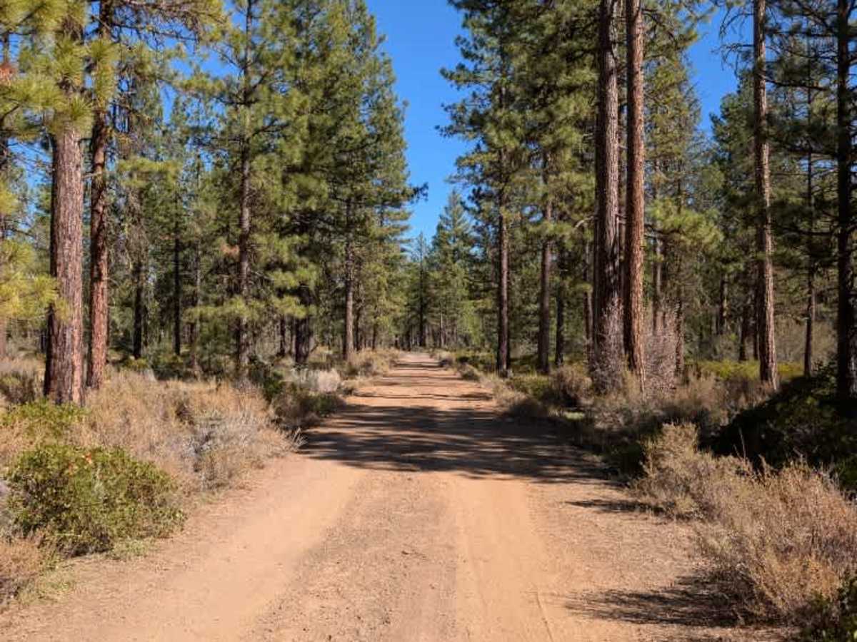
This is a pleasant connecting route between two larger main roads, offering a much smoother drive than some of the nearby trails that cross open rock fields. Most of the route winds through the woods, with trees providing a nice change of scenery and a more comfortable ride. The surface is generally good, although there are some exposed rocks jutting up through the road and a few water-control dips where the ground has been shaped to channel runoff across the trail. These can feel like reverse speed bumps, so ease through them rather than hitting them at speed. Overall, it’s a fairly straightforward drive and a much nicer alternative to the rougher, more exposed routes in the area. ATVs, UTVs, Side-by-Sides, and Dirt Bikes must always have a valid California ATV Operating Permit sticker.

Photos of FS 43N80

Difficulty

The route is generally smooth and easy to navigate, with a few exposed rocks and water-control dips to watch for.

Technical Rating

2

FS 43N80 Trail can be accessed by the following ride types:

  • Single Track
  • 50 Inch
  • 60 Inch
  • High Clearance
  • Full Width

FS 43N80 Map

The onX Offroad Difference

onX Offroad combines trail photos, descriptions, difficulty ratings, width restrictions, seasonality, and more in a user-friendly interface. Available on all devices, with offline access and full compatibility with CarPlay and Android Auto. Discover what you're missing today!

Open Trail Map