FS 43N52

Total Miles3.4
Technical Rating
3Easy
Best TimeSpring, Summer, Fall
Trail TypeFull-Width Road
Accessible By
Open Trail Map

Trail Overview

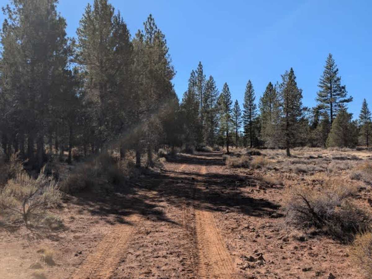
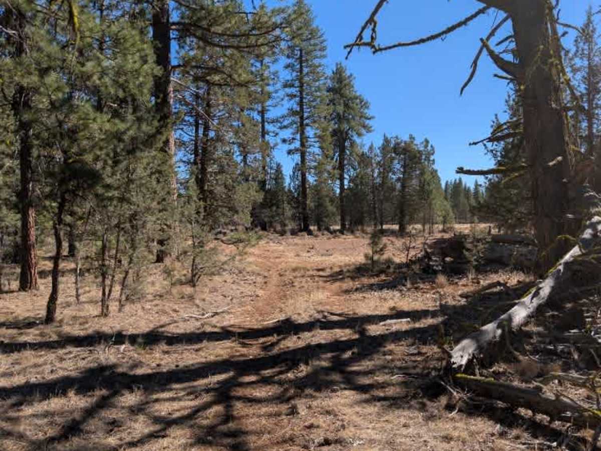
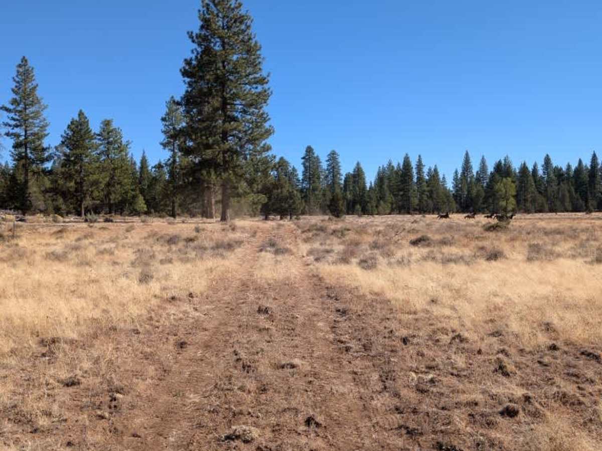
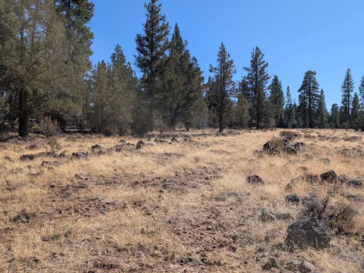
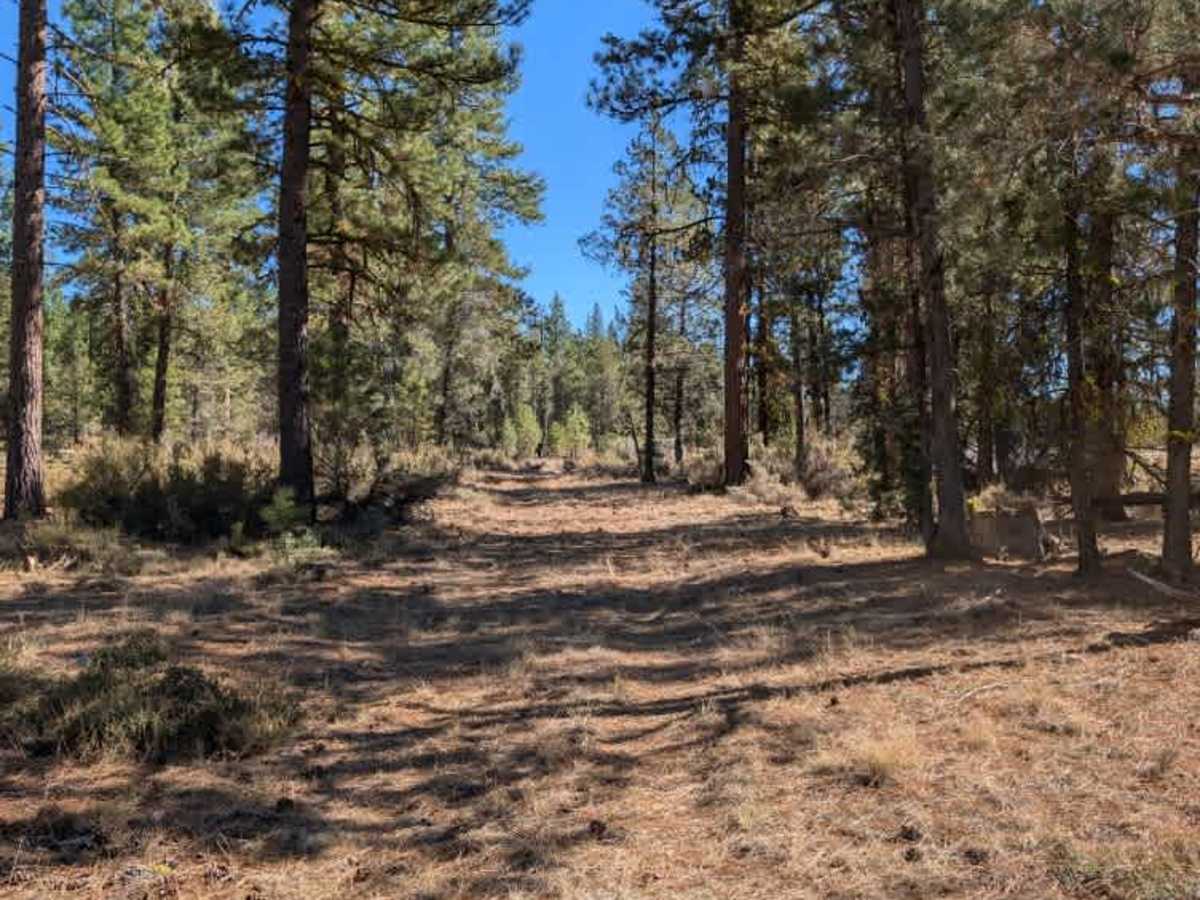
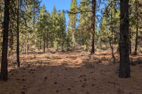
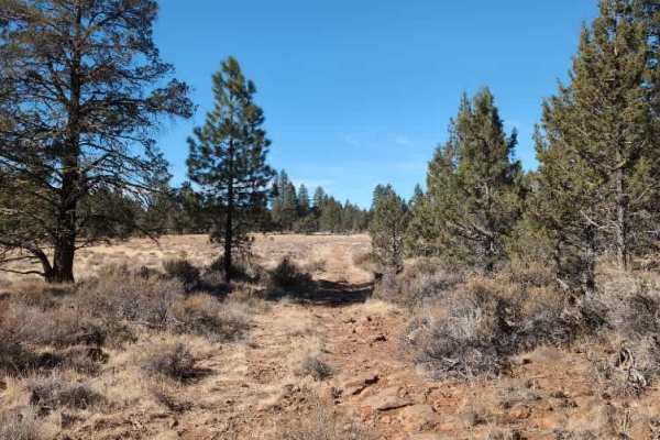
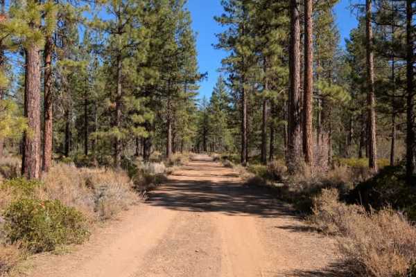
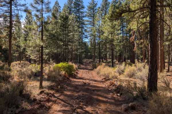
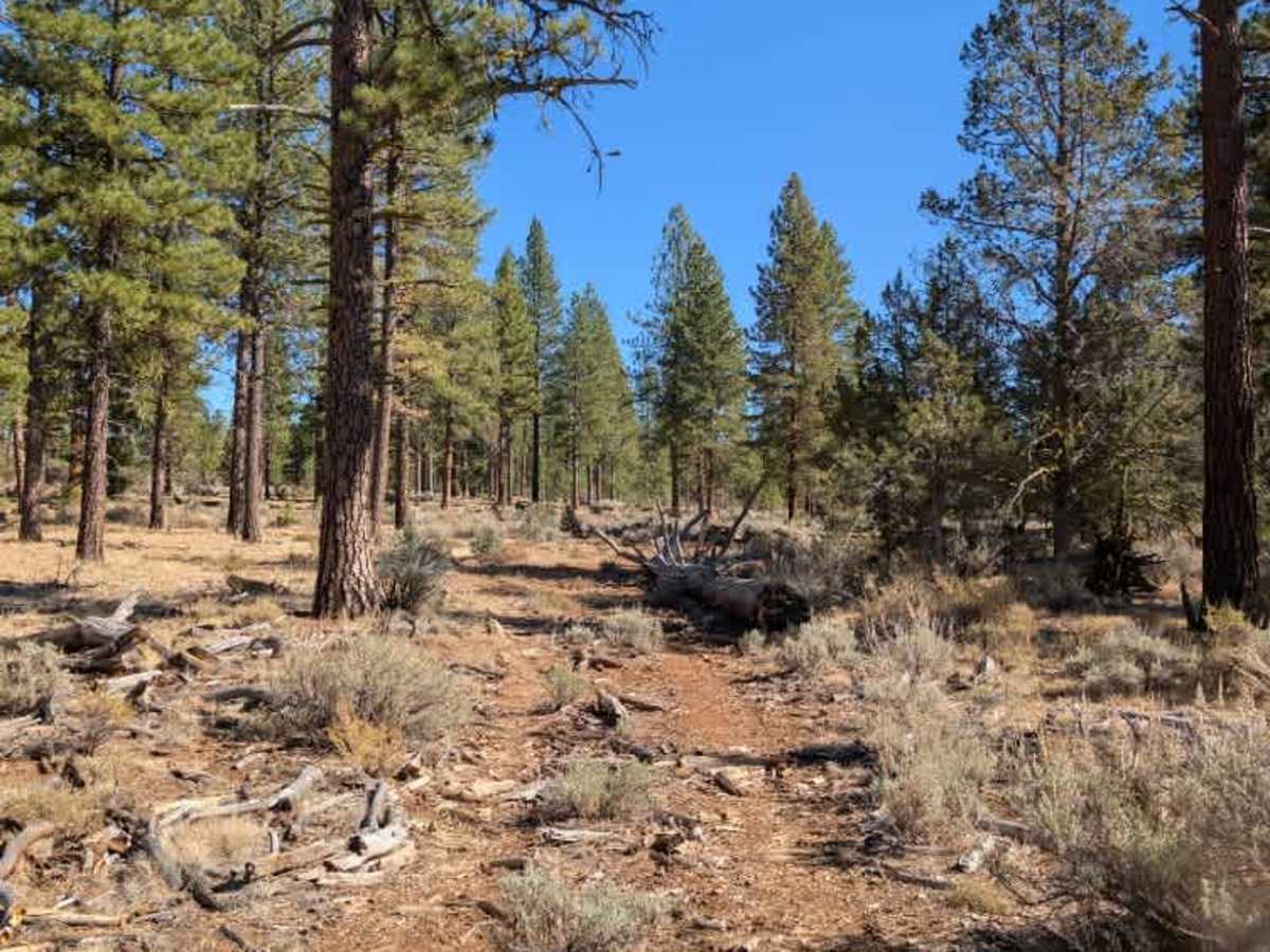
This route branches off the larger FS 43N80 road and continues through a mix of open forest and uneven, tree-lined sections before ending at the power lines. Much of the trail is fairly exposed, with stretches that pass by logging activity and scattered fallen trees. The surface is consistently bumpy, and some sections become particularly uneven as the route winds between trees. Wider four-wheelbase vehicles may find themselves at awkward angles or off-camber as they work through these tighter areas, so take your time and choose your lines carefully. While the route is manageable for drivers who enjoy a rougher, more technical feel, the constant bumps and uneven ground can make it a less comfortable drive for those looking for an easier outing. ATVs, UTVs, Side-by-Sides, and Dirt Bikes must always have a valid California ATV Operating Permit sticker.

Photos of FS 43N52

Difficulty

The route has a rough, bumpy surface throughout, with tighter sections between trees requiring slower, more deliberate maneuvering.

Technical Rating

3

FS 43N52 Trail can be accessed by the following ride types:

  • Single Track
  • 50 Inch
  • 60 Inch
  • High Clearance
  • Full Width

FS 43N52 Map

The onX Offroad Difference

onX Offroad combines trail photos, descriptions, difficulty ratings, width restrictions, seasonality, and more in a user-friendly interface. Available on all devices, with offline access and full compatibility with CarPlay and Android Auto. Discover what you're missing today!

Open Trail Map