FS 43N83

Total Miles2.1
Technical Rating
3Easy
Best TimeSpring, Summer, Fall
Trail TypeFull-Width Road
Accessible By
Open Trail Map

Trail Overview

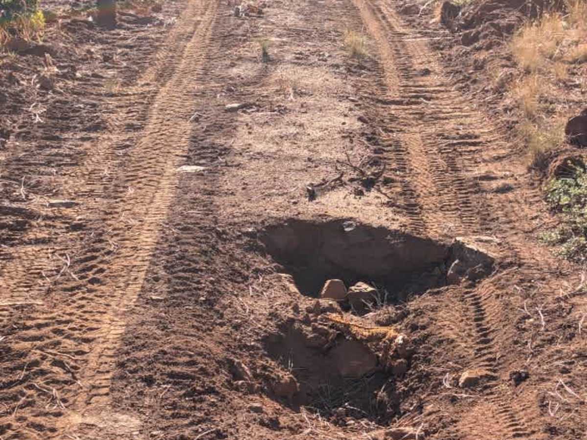
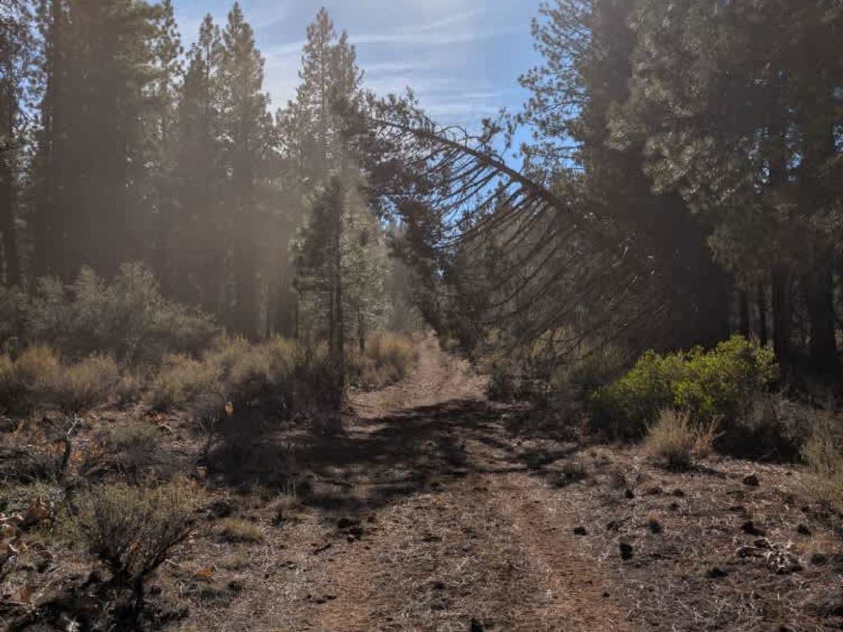
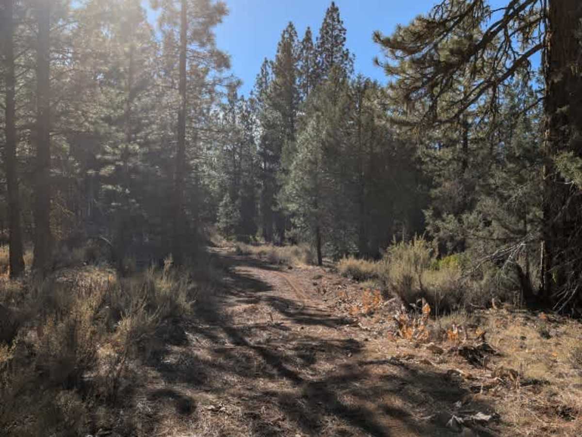
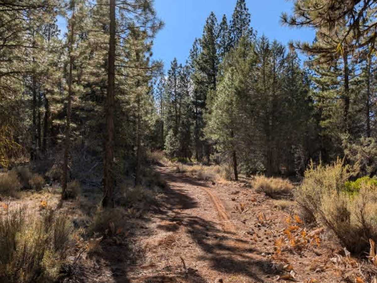
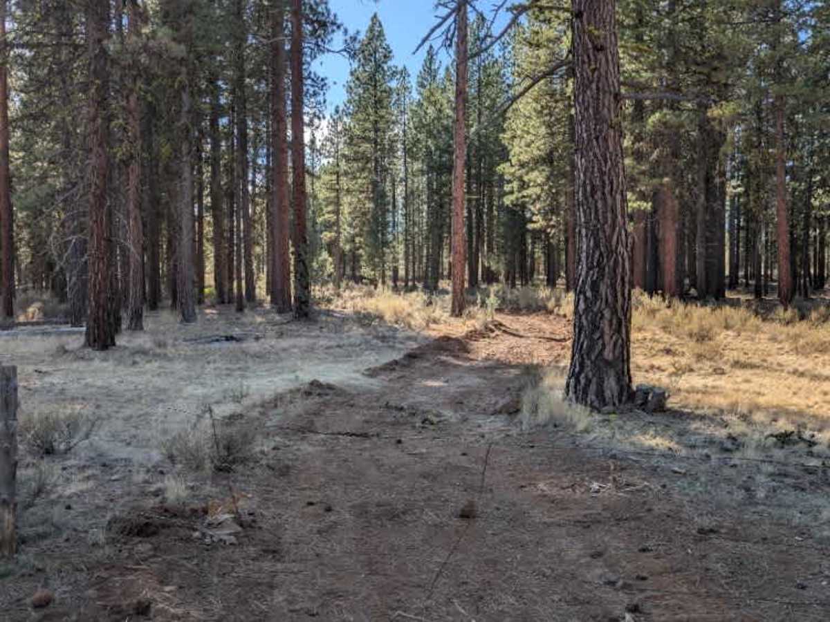
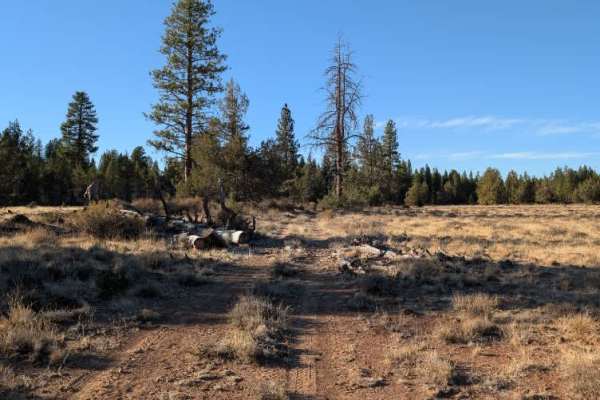
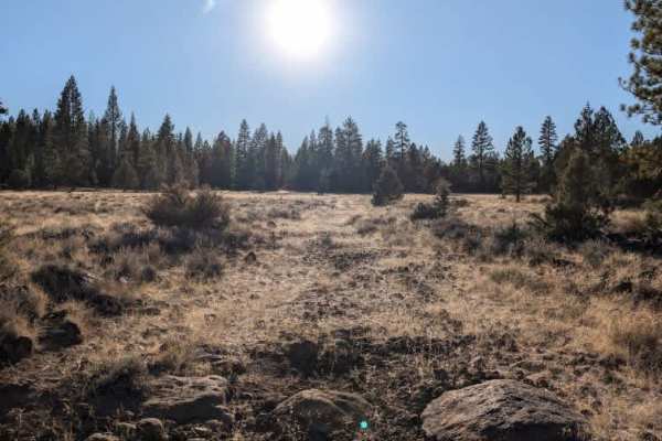
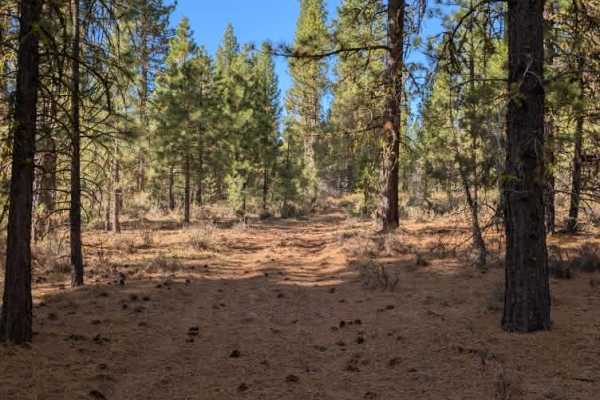
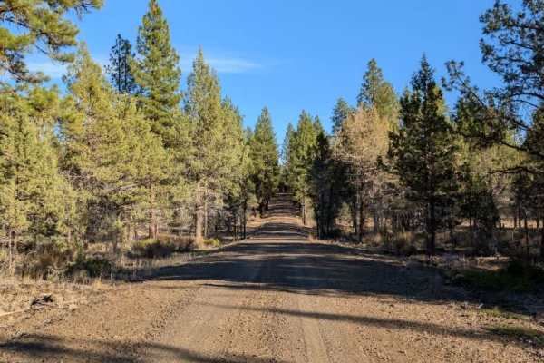
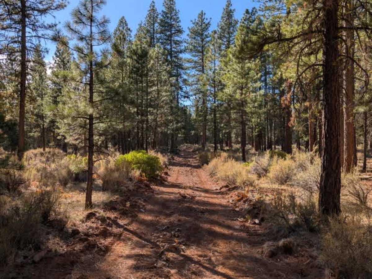
This route passes through what appears to be cattle pastureland and has three barbed-wire gates along the way, including one in the middle. Please close each gate behind you, as requested. Traveling southbound from the north, you’ll reach an intersection with FS 43N83A, where the road conditions change noticeably. Beyond this point, the surface appears to have been recently worked over by a dozer or similar machinery, but the results are quite uneven. There are occasional smooth sections mixed with large humps, deep holes, and rough patches where the equipment seems to have struck rocks and disturbed the ground. Although the route is still drivable, some of these bumps are severe enough that you’ll need to slow to a crawl or nearly stop to cross them safely. Even at lower speeds, watch loose gear and anything mounted to your vehicle, as repeated jolts can be surprisingly harsh. ATVs, UTVs, Side-by-Sides, and Dirt Bikes must always have a valid California ATV Operating Permit sticker.

Photos of FS 43N83

Difficulty

The surface varies between smooth stretches and heavily disturbed ground, with large humps and abrupt dips creating harsh jolts.

Technical Rating

3

FS 43N83 Trail can be accessed by the following ride types:

  • Single Track
  • 50 Inch
  • 60 Inch
  • High Clearance
  • Full Width

FS 43N83 Map

The onX Offroad Difference

onX Offroad combines trail photos, descriptions, difficulty ratings, width restrictions, seasonality, and more in a user-friendly interface. Available on all devices, with offline access and full compatibility with CarPlay and Android Auto. Discover what you're missing today!

Open Trail Map