Trail Overview
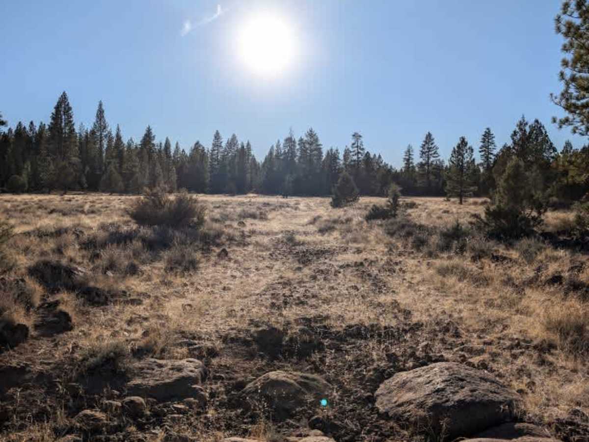
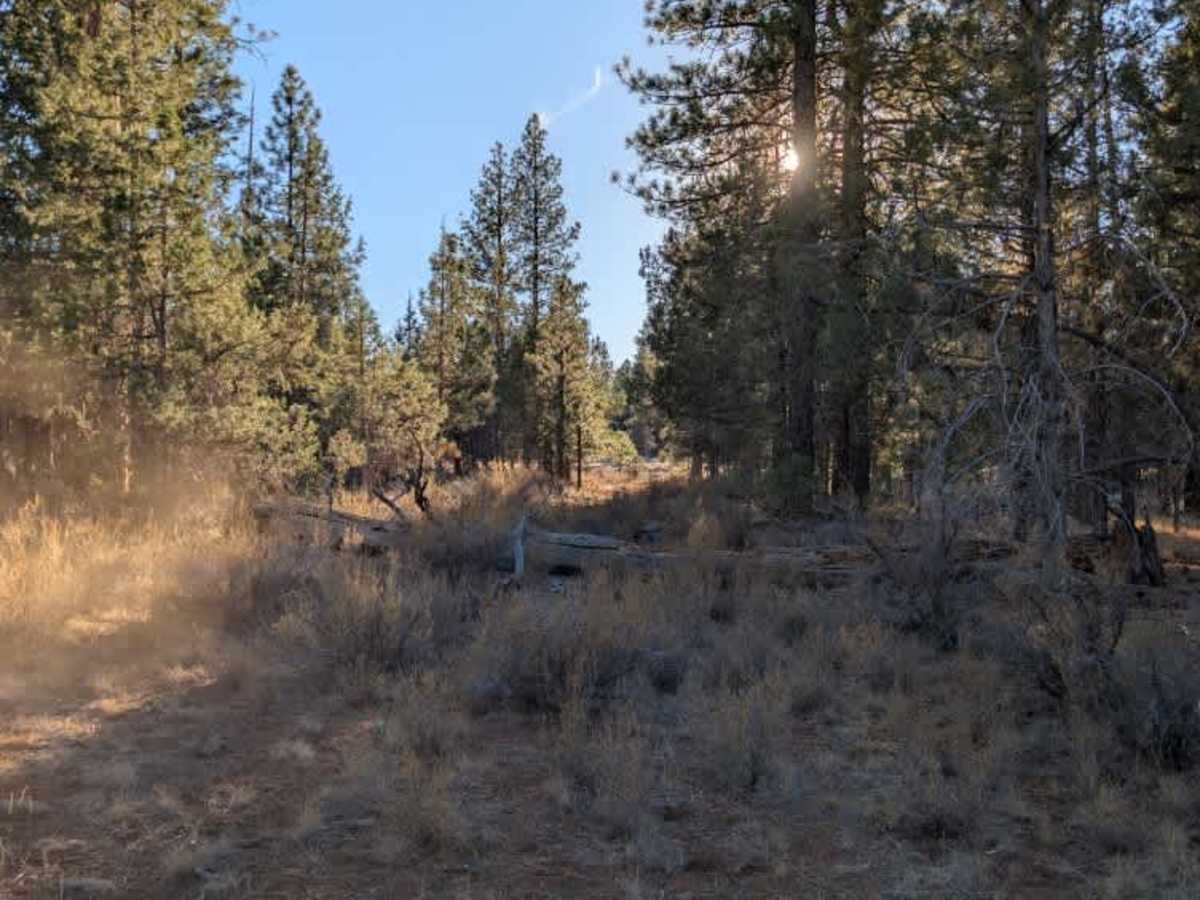
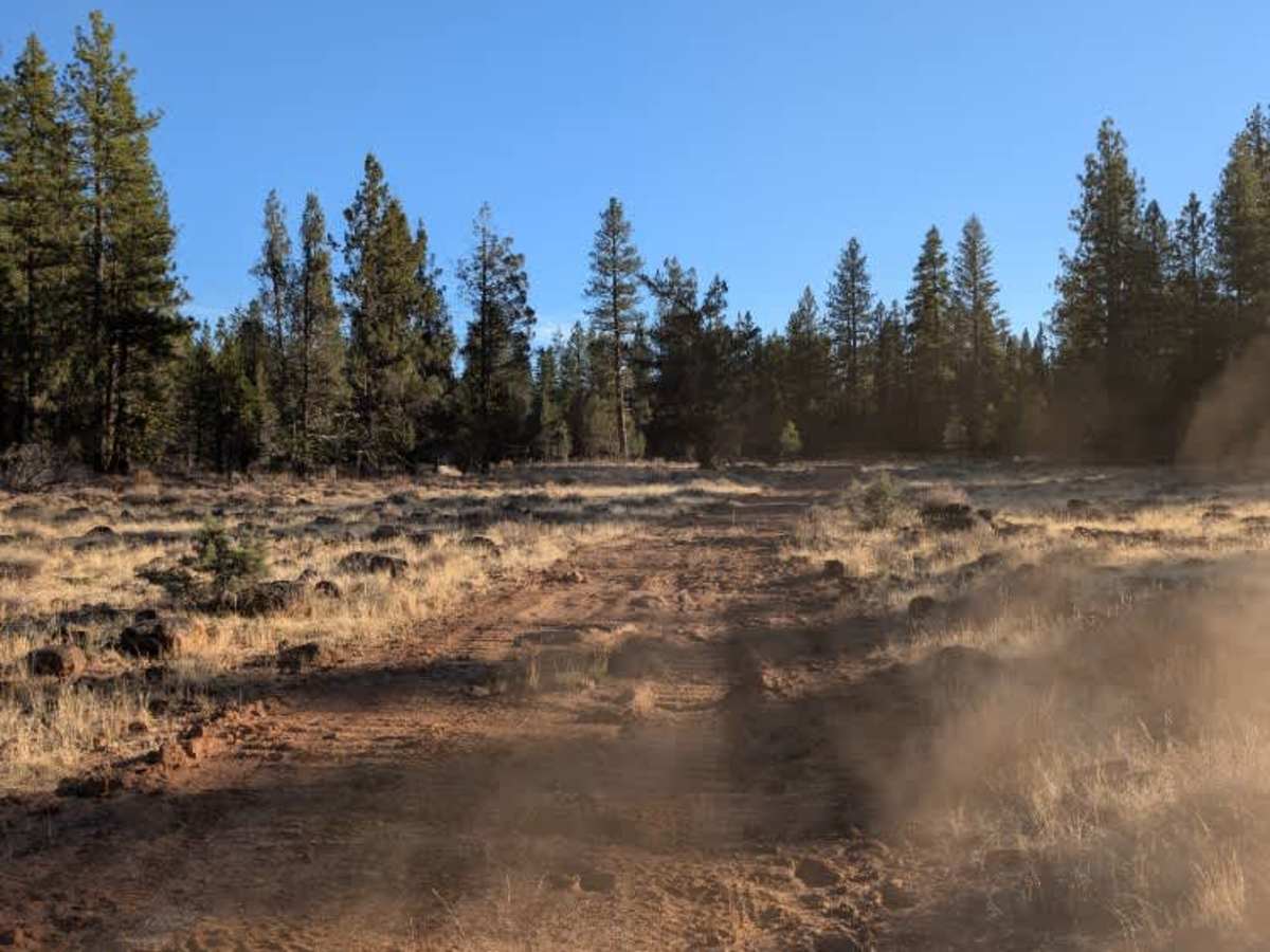
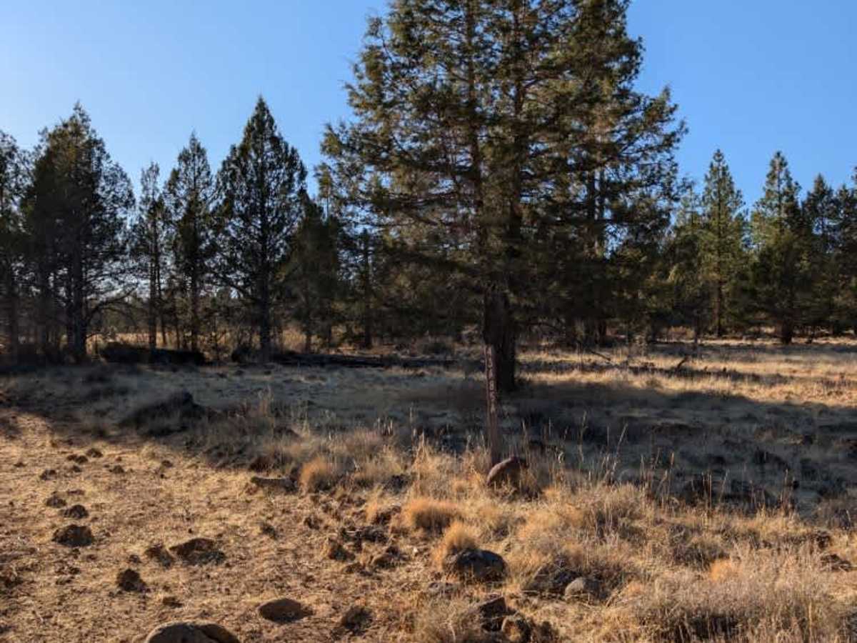
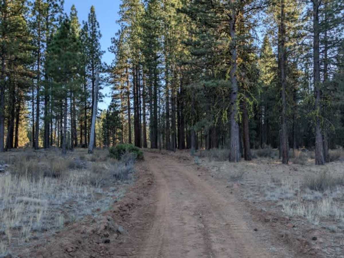
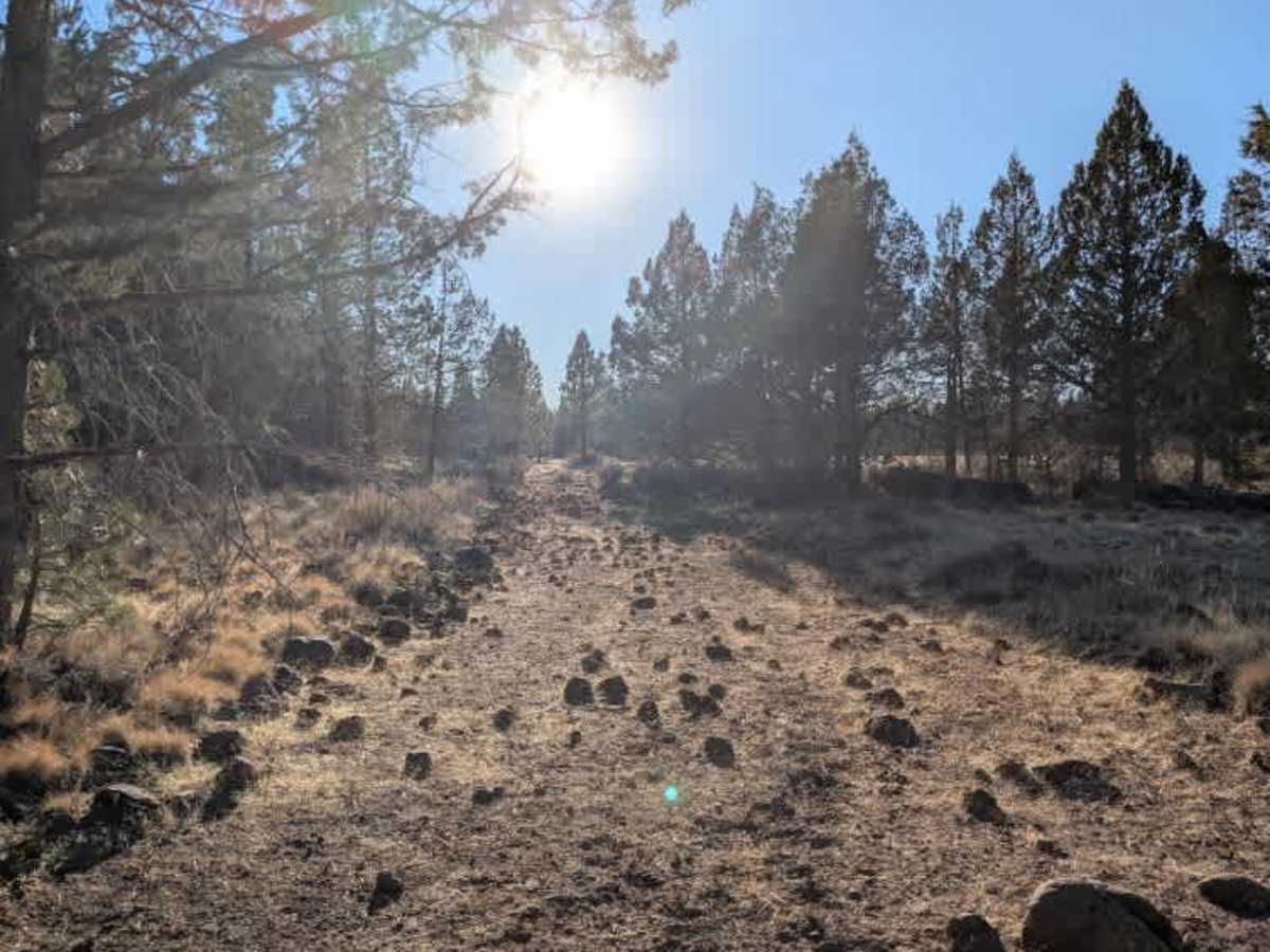
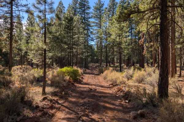
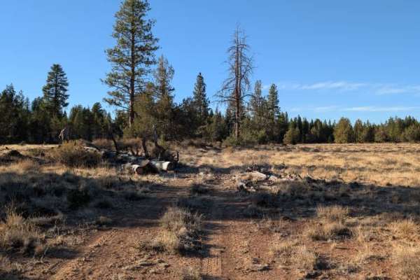
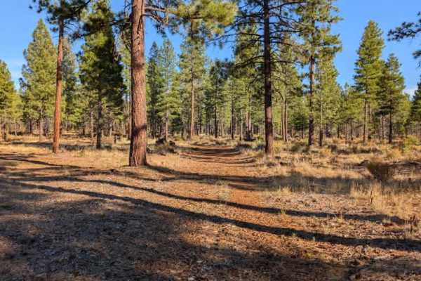
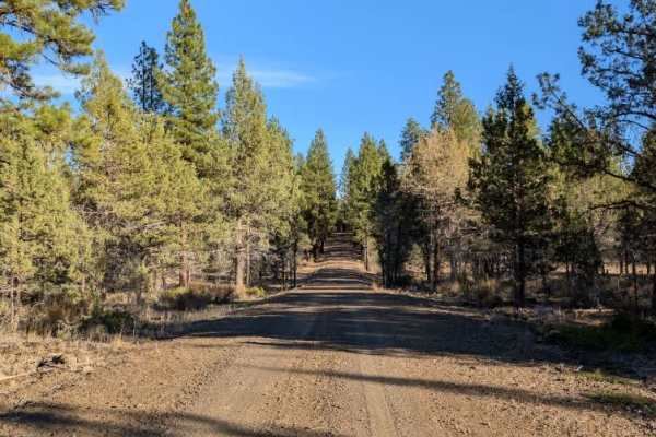
This short trail connects to FS 44A81A and is noticeably rocky, particularly when approaching from the east. The surface has plenty of loose stones and exposed rocks, creating a bumpy ride throughout. Near the beginning, larger boulders protrude from beneath the soil, making parts of the road slightly off-camber, although nothing particularly difficult to navigate. Farther along, a fallen tree blocks the main track, but a bypass goes around it. Shortly after, the road shows signs of recent dozer work, with sections that have been roughly flattened and left with an uneven, bumpy surface. While the conditions aren’t especially challenging, expect a slower and less comfortable drive than the short distance might suggest. ATVs, UTVs, Side-by-Sides, and Dirt Bikes must always have a valid California ATV Operating Permit sticker.