Trail Overview
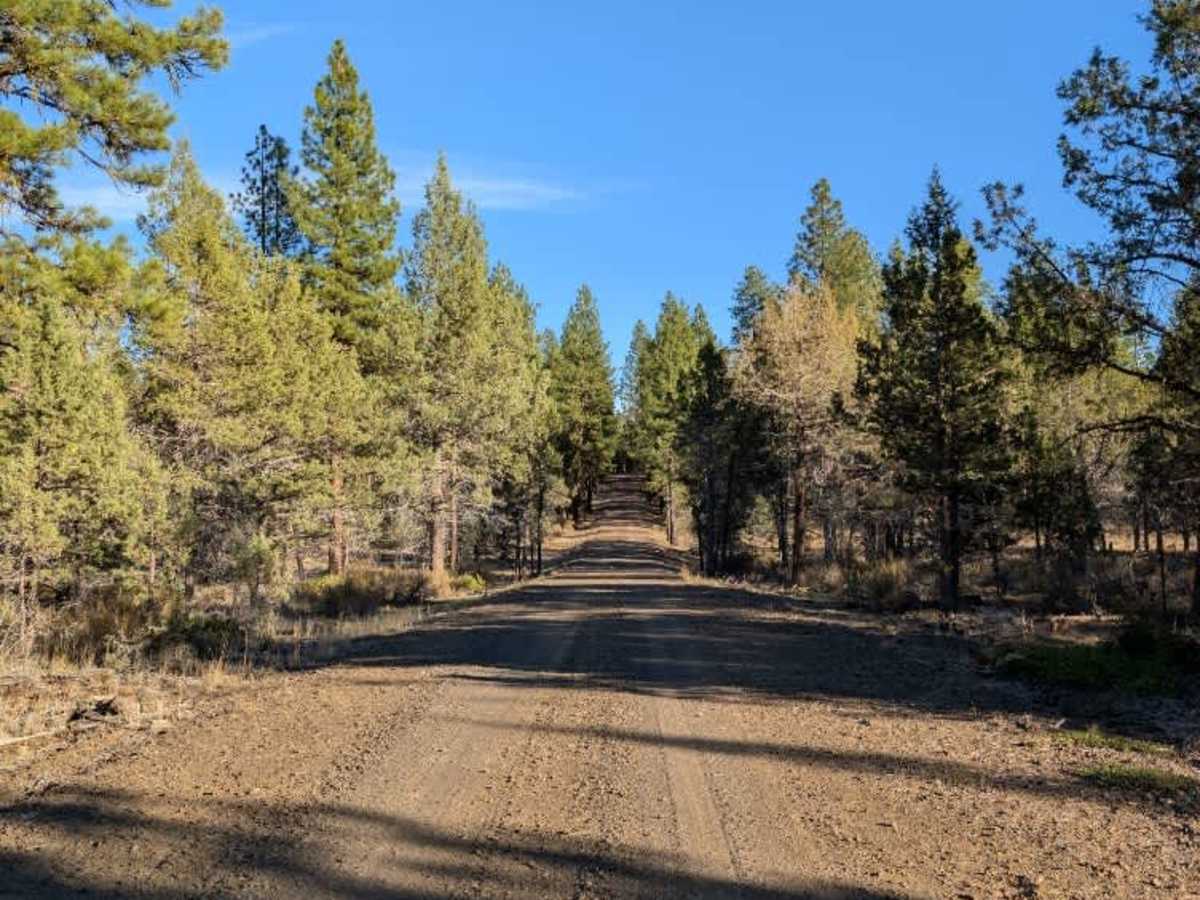
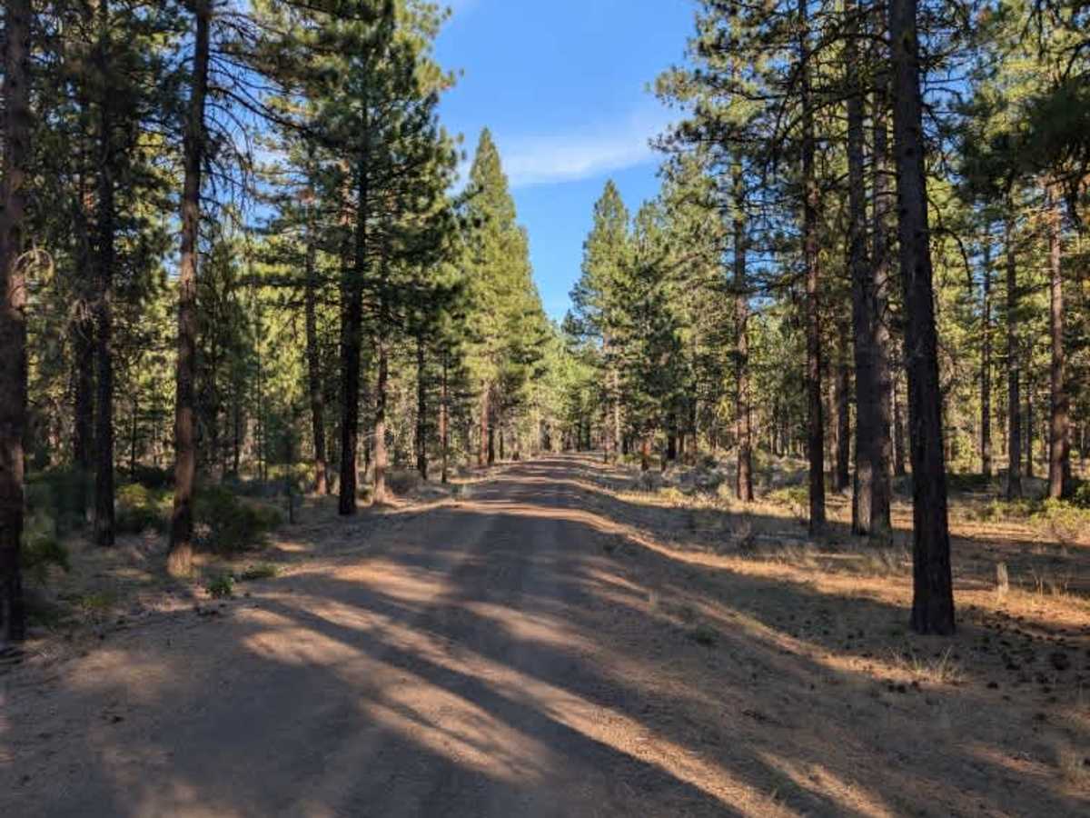
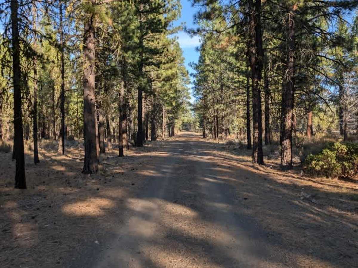
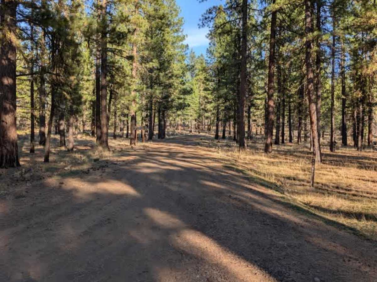
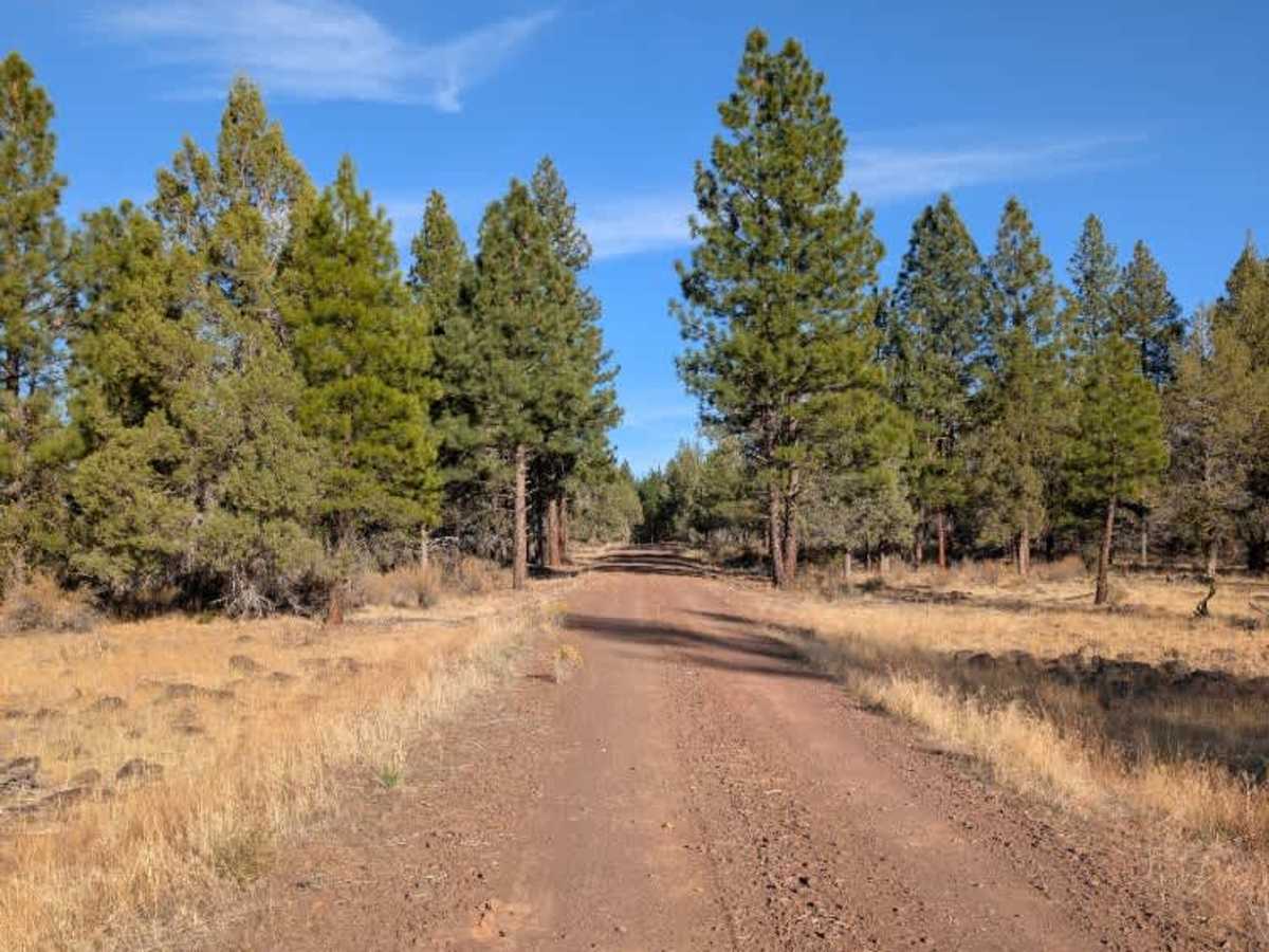
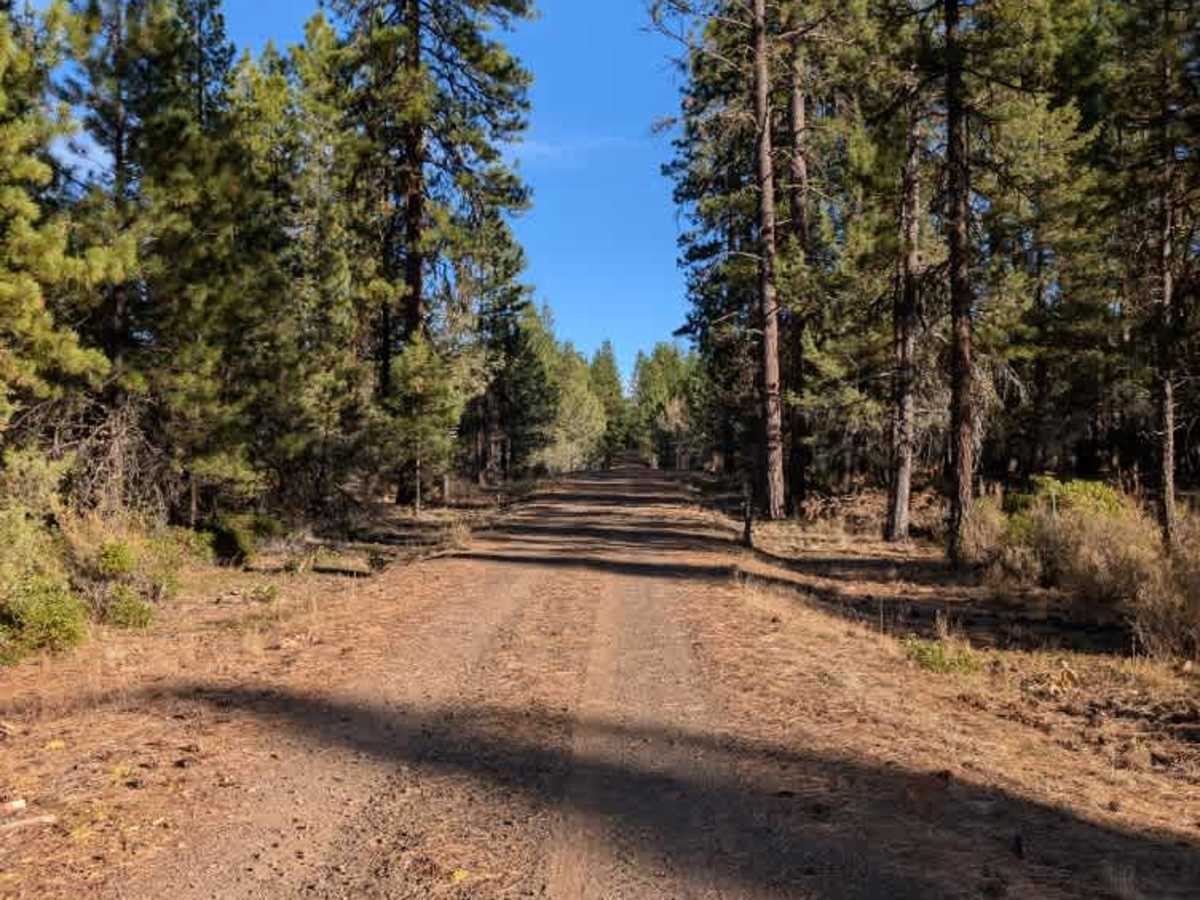
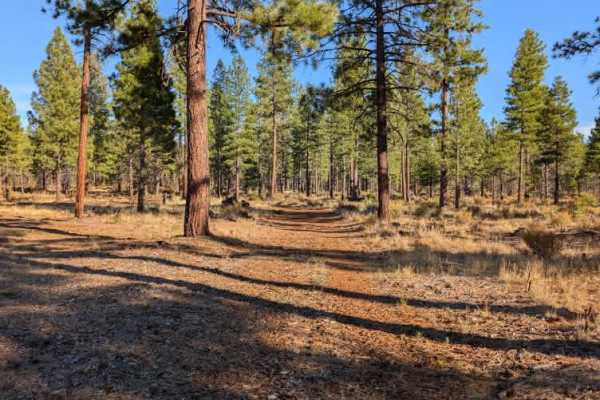
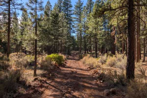
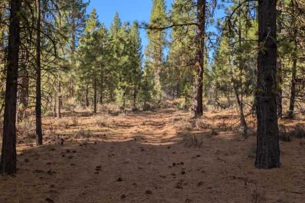
This is a pleasant connecting route between two main roads and a much more enjoyable drive than some of the area’s rougher trails. The surface is generally in good condition, with only a few minor bumps along the way. Although the entrance makes the road look wide enough for two vehicles, it gradually narrows in places, becoming a single-lane track with occasional wider sections. Take care when approaching other traffic, as there may not always be enough room for two vehicles to pass comfortably. Several smaller trails branch off along the route, making it a useful connection for exploring more of the surrounding area or reaching the other side of the network. Overall, it’s an easygoing, worthwhile route between the two main roads. ATVs, UTVs, Side-by-Sides, and Dirt Bikes must always have a valid California ATV Operating Permit sticker.