Trail Overview
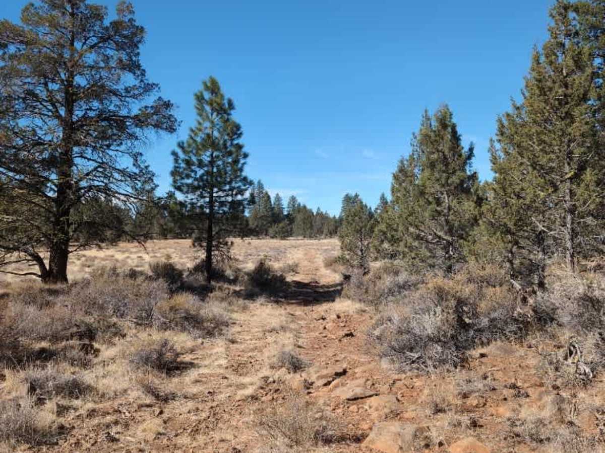
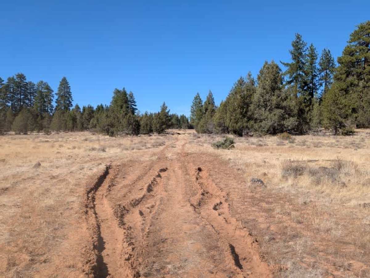
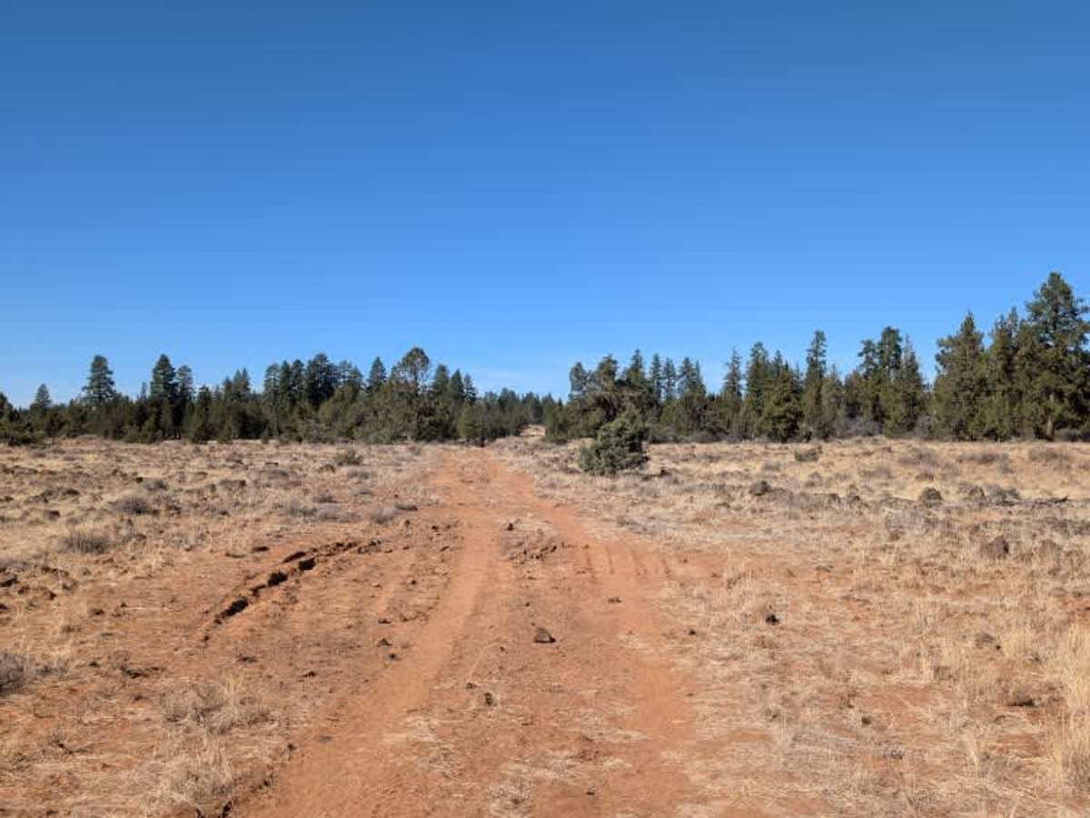
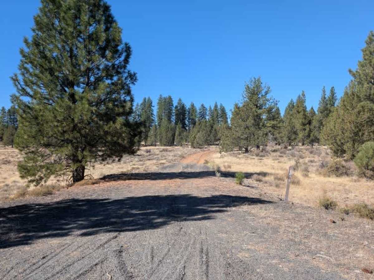
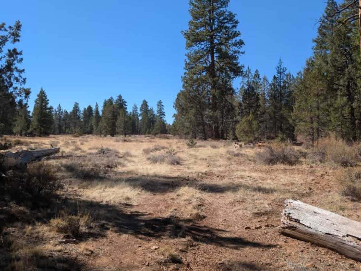
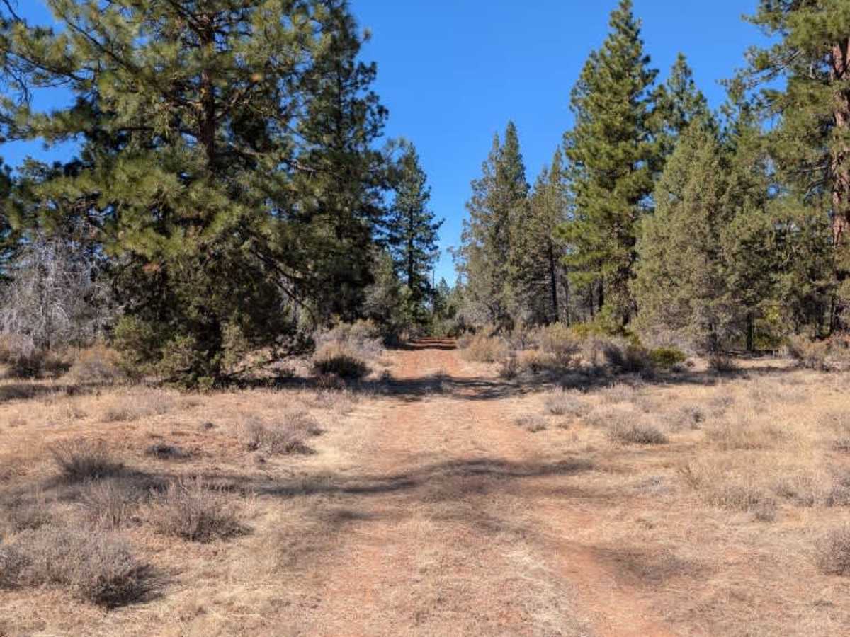
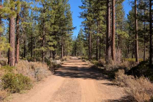
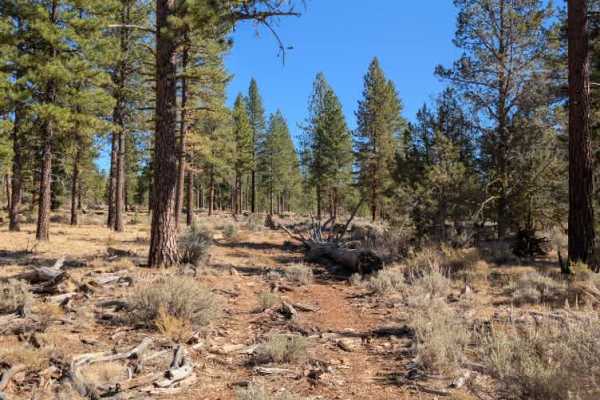
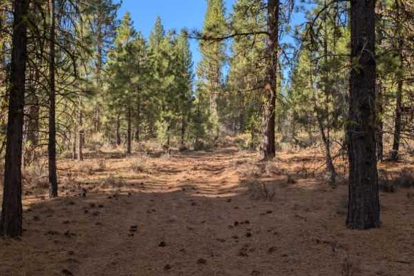
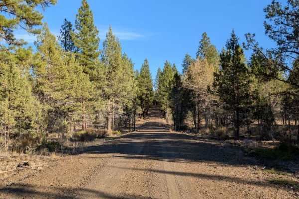
This road starts out reasonably well but quickly becomes rough and uncomfortable, with extensive damage from previous wet seasons. Although the mud has dried and the surface is now hard, deep ruts, tire grooves, and dried-out holes remain throughout the route. The rocky sections, particularly across the open fields, are especially rough and create constant bouncing as you drive. Some of the grooves may catch your tires, so take care when choosing your line. A fallen tree also blocks part of the road, but a bypass has been created. There is a closed barbed-wire gate along the route, and the road crosses beneath power lines and a marked underground gas pipeline. Aside from these features, there isn’t much else to see along the way. ATVs, UTVs, Side-by-Sides, and Dirt Bikes must always have a valid California ATV Operating Permit sticker.
Difficulty
The road becomes increasingly rough, with rocky ground, deep ruts, and dried mud damage making careful navigation necessary.