Trail Overview
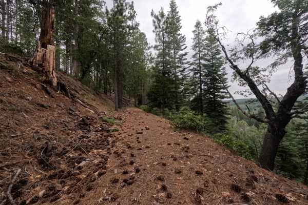
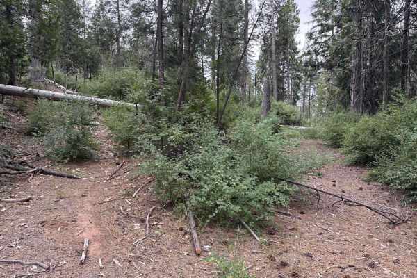
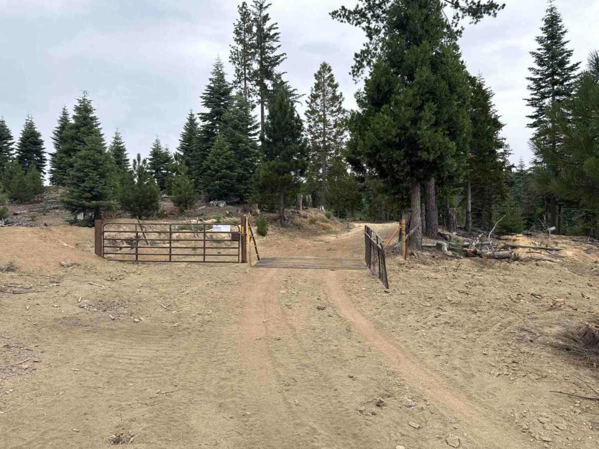
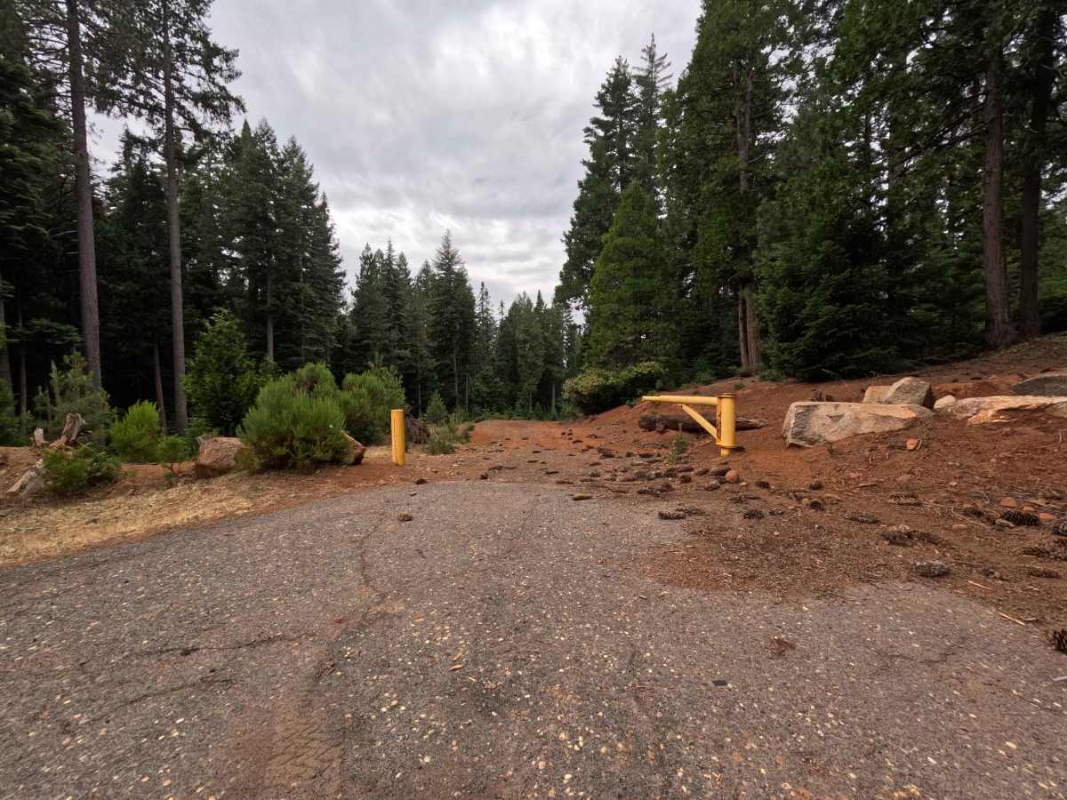
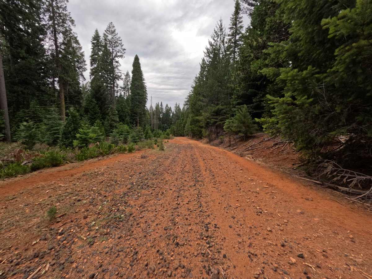
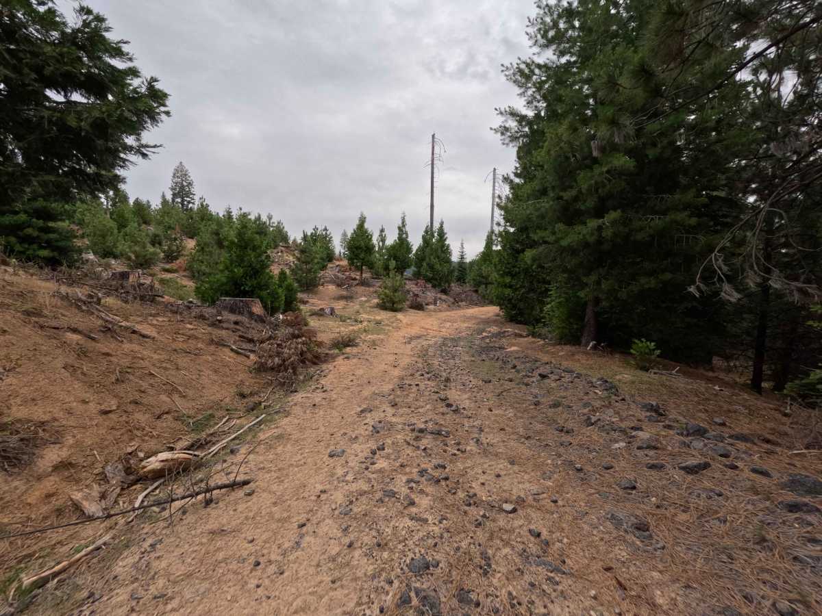
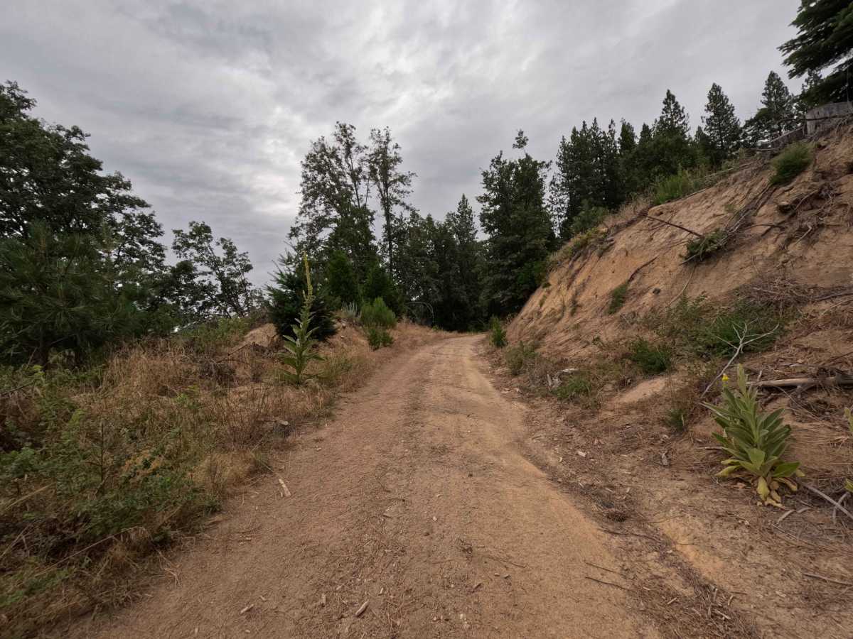
FS 3N07 begins at a paved southern intersection and travels northbound as a primary arterial connector into the backcountry network. The trail begins on managed Sierra Pacific Industries timberland before crossing through an open boundary gate into public terrain stewarded by the Stanislaus National Forest. The surrounding landscape features a healthy mixed conifer forest dominated by ponderosa pines, white firs, and lush roadside ground cover. As a wide, mostly two-lane packed dirt and red clay road, the route delivers a dependable ride with an overall difficulty rating of 2. The lower segment presents wide, firm ground with shallow surface troughs, followed by a mildly rocky section upon reaching public lands, before settling back into a graded, fast-traveling forest corridor. Travelers regularly depend on this thoroughfare to reach dispersed camping pockets, hunting areas, and multiple linking spurs deeper in the mountain range.
Difficulty
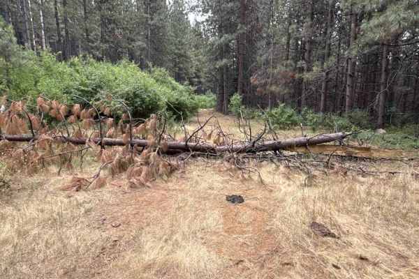
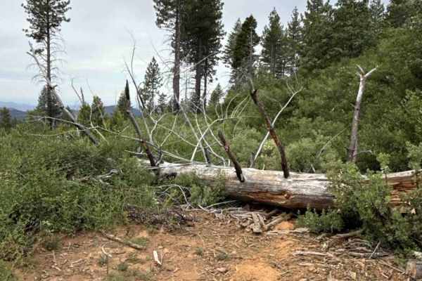
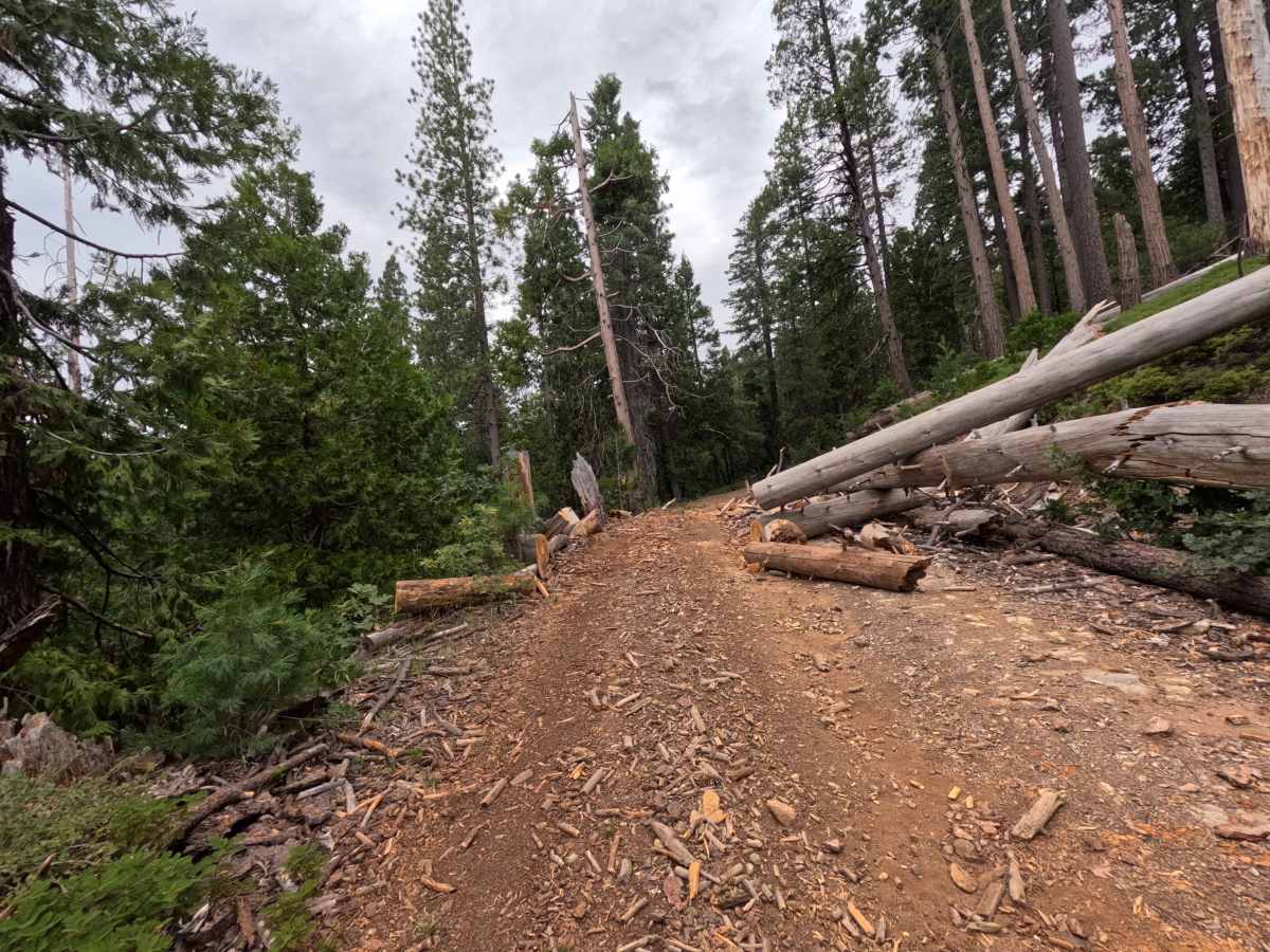
Rated a 2 due to the broad roadbed, gentle elevation gain, and lack of technical ledges. Drivers will encounter scattered loose cobble and moderate rain ruts, particularly near property line transitions and gates. Maintaining a moderate pace, steering around deeper washouts, and straddling the occasional rocky ripple ensures a smooth and effortless transit throughout the entire route.

 Offroad