Trail Overview
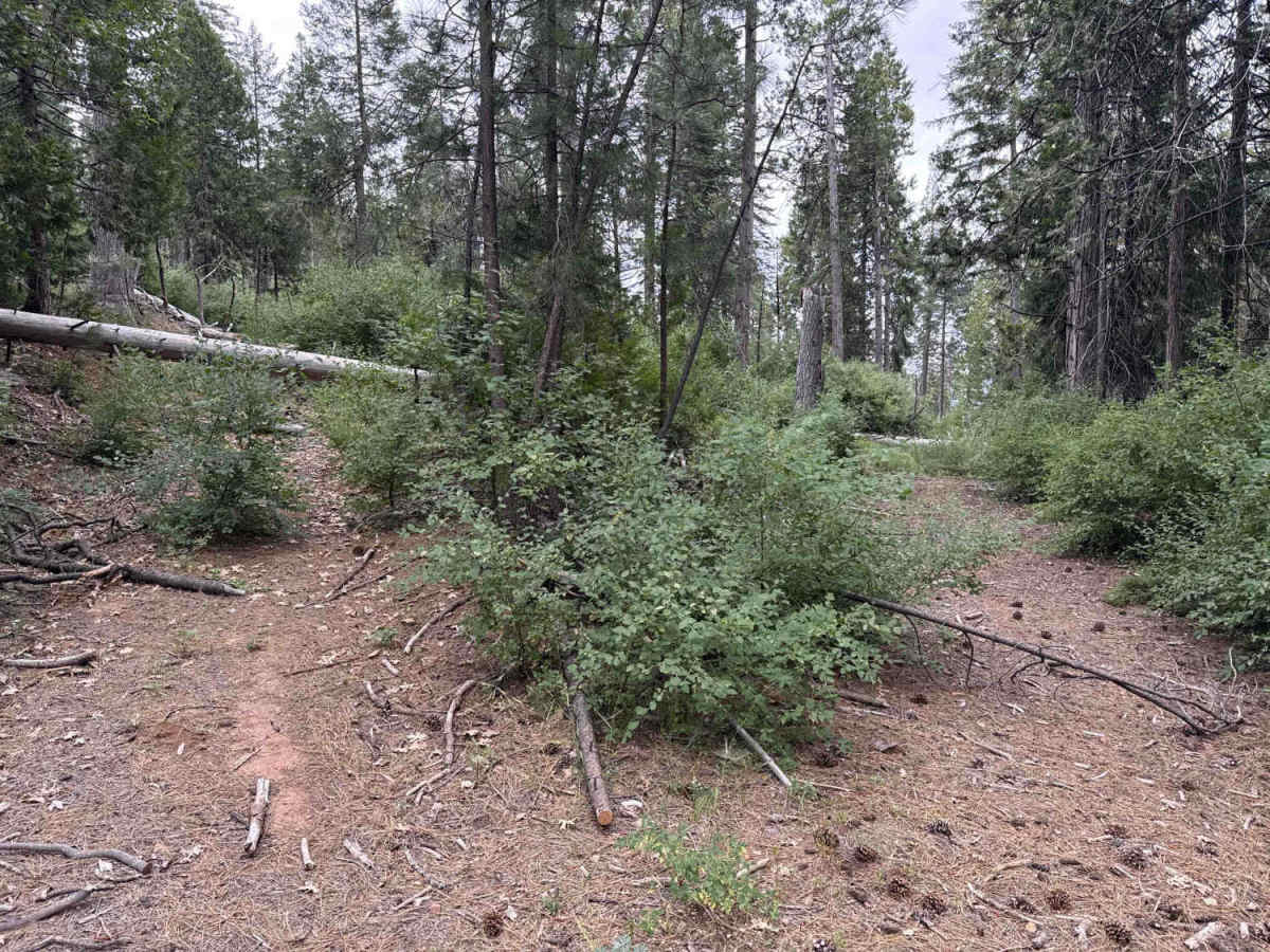
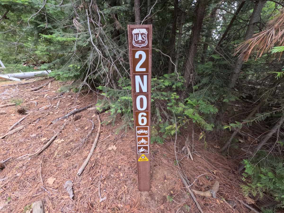
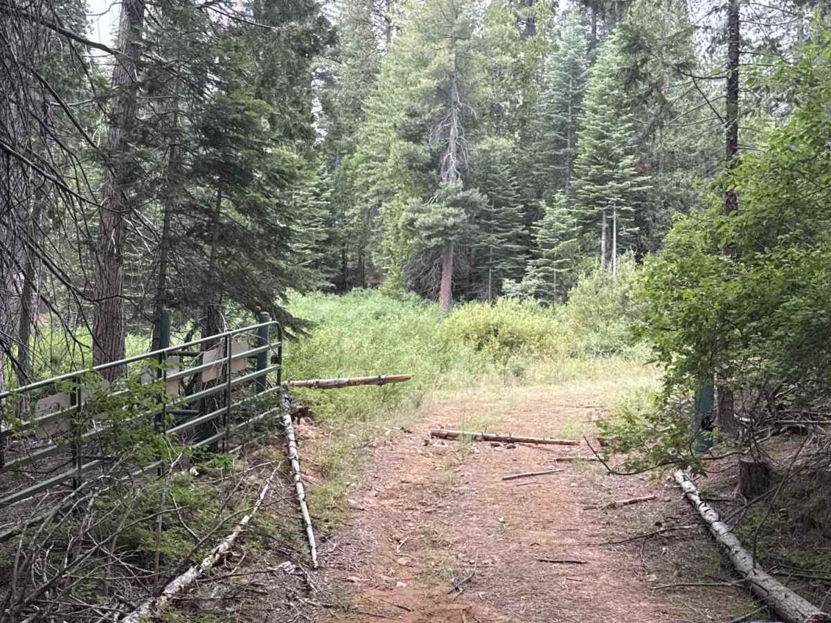
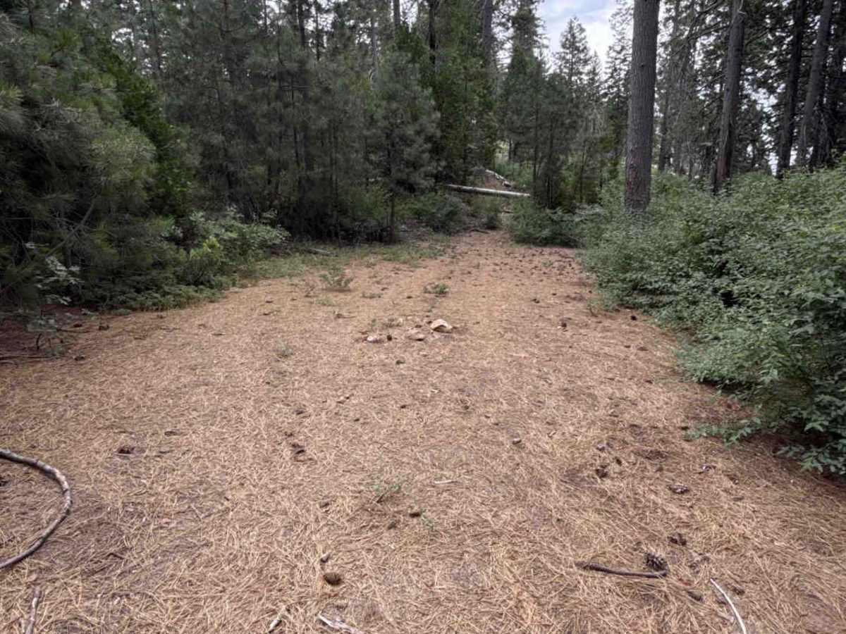
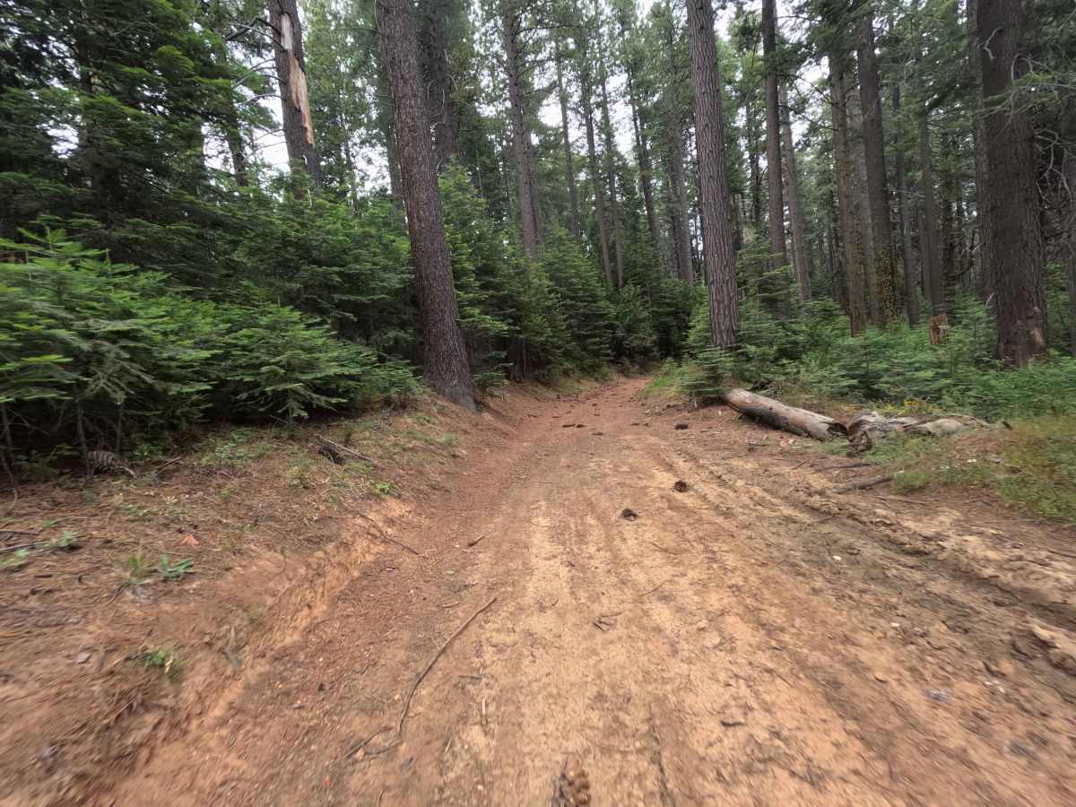
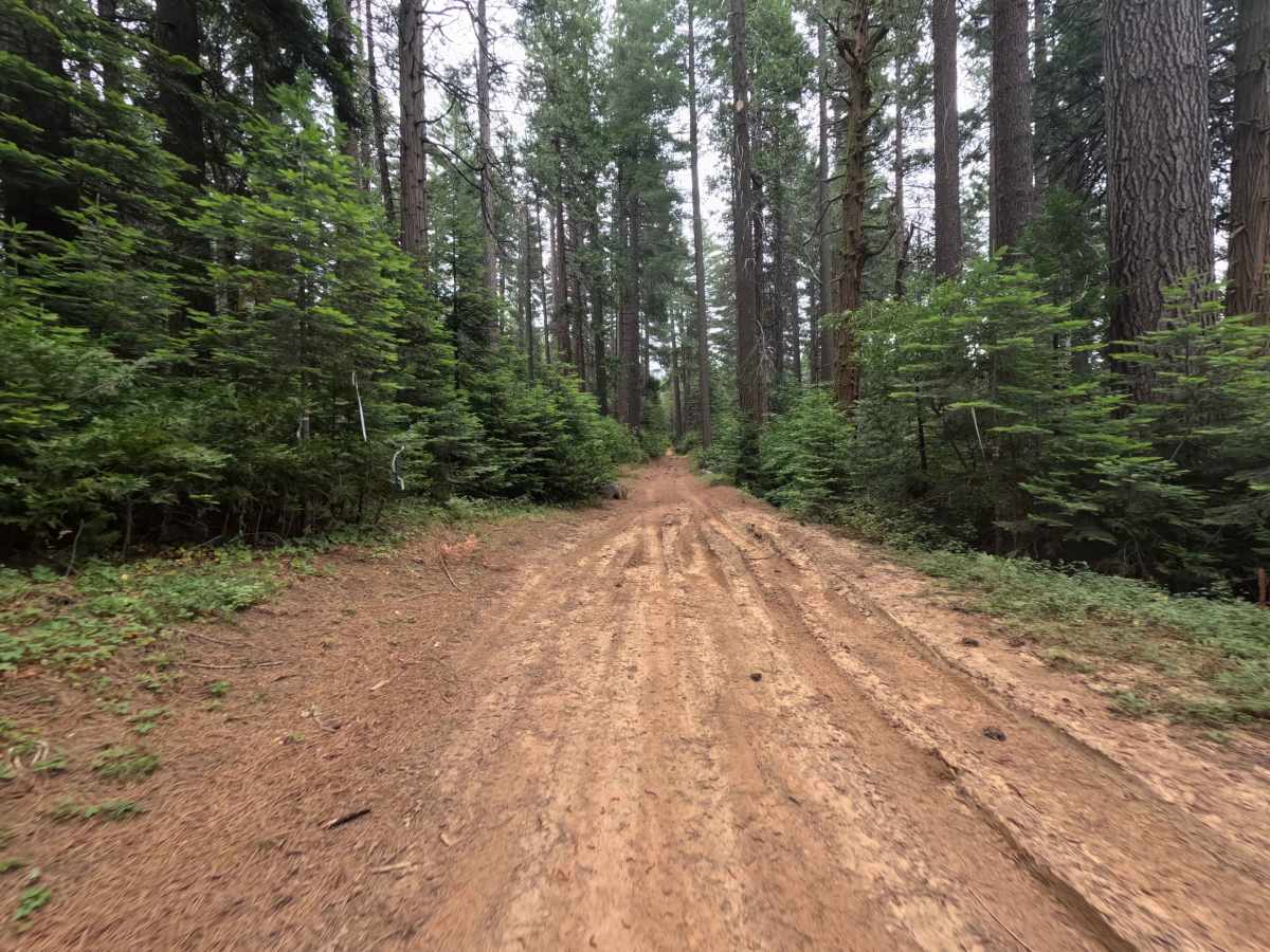
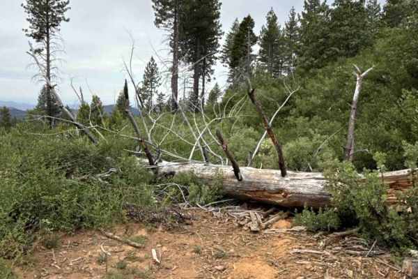
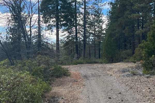
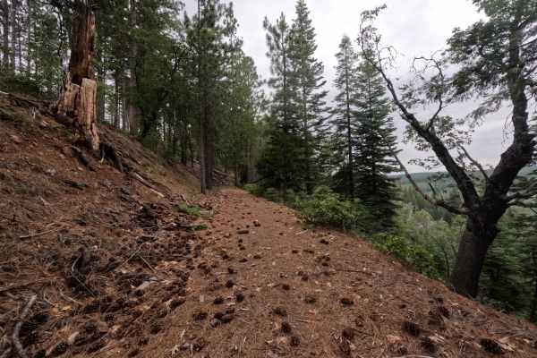
FS 2N06 branches east off FS 3N07 within the Stanislaus National Forest, serving as a primary backcountry artery that provides access toward Thompson Peak and numerous side spurs. The surrounding landscape features a classic Sierra woodland environment that alternates between dense conifer canopies of cedar and pine and open, sunlit hillsides lined with low brush and wildflowers. The trailbed consists of an established, single-lane hard-packed red dirt surface covered in pine needles and light duff, carrying an easy rating of 1. The path winds along mellow contours with good sightlines, though roadside shrubs lightly brush the edges along open hillside cuts. Vehicle passage concludes near the four-and-a-half-mile mark at a scenic dispersed campsite featuring a rock fire ring, beyond which the unmaintained roadway fades into overgrown vegetation. Visitors use this route to explore interconnected mountain tracks, find secluded camping, and take in quiet forested vistas.
Difficulty
Rated a 1 due to its smooth, predictable packed dirt foundation, gentle grades, and complete lack of challenging rock ledges or washouts. Scattered pine needles, loose cones, and small sticks cover the surface but present no traction issues under dry conditions. Staying centered on the beaten path avoids light brush along the shoulders, and the spacious clearing at the campsite provides plenty of room for an easy turnaround.

 Offroad