Trail Overview
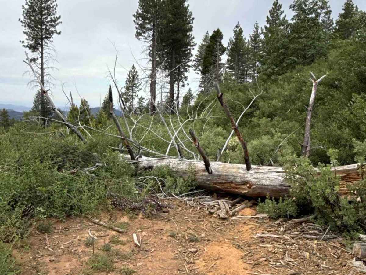
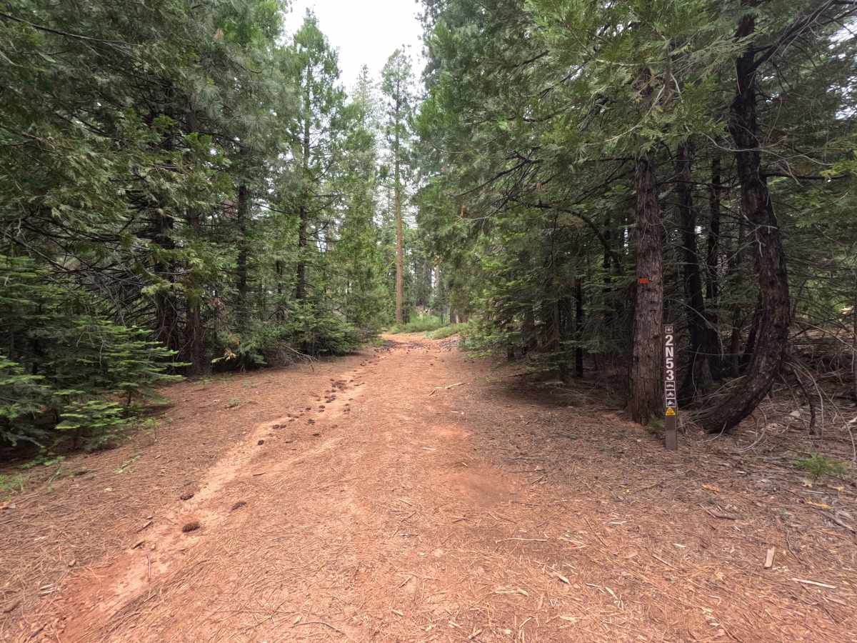
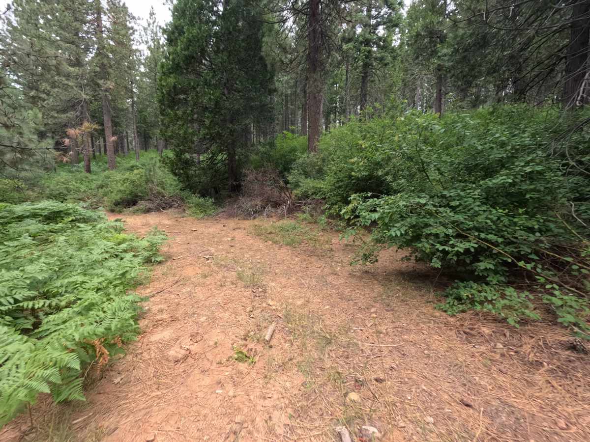
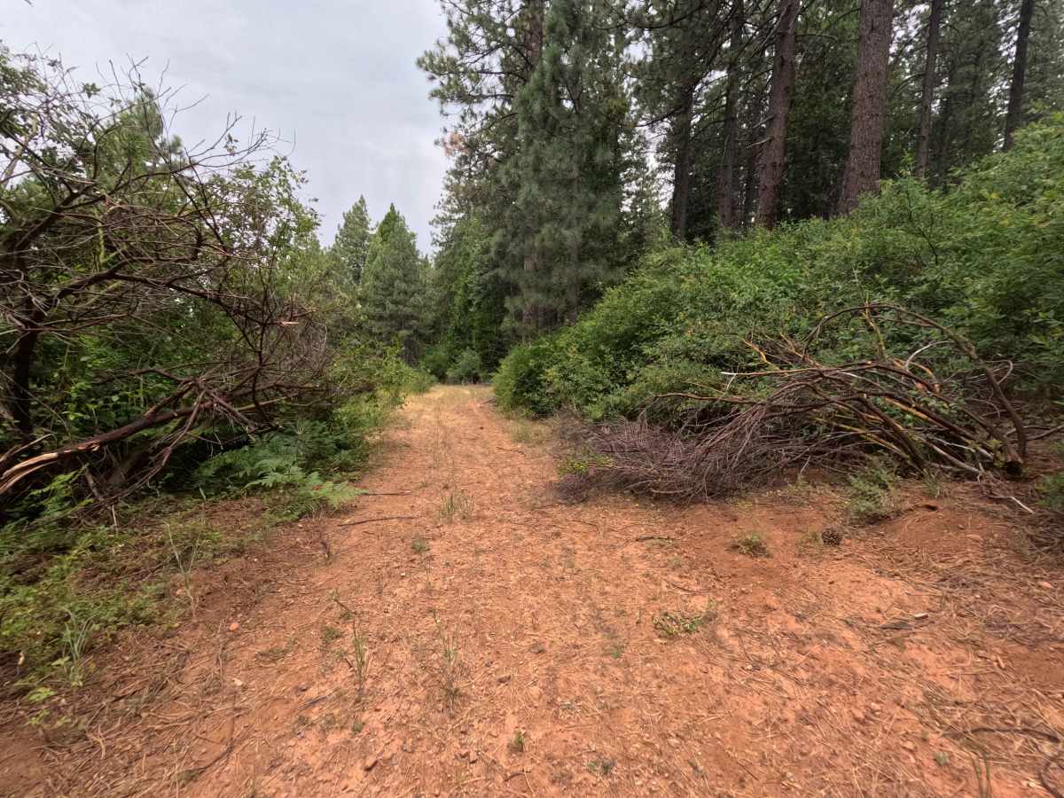
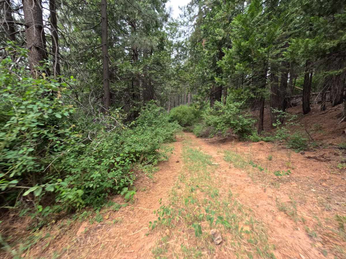
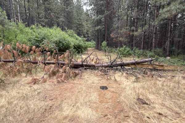
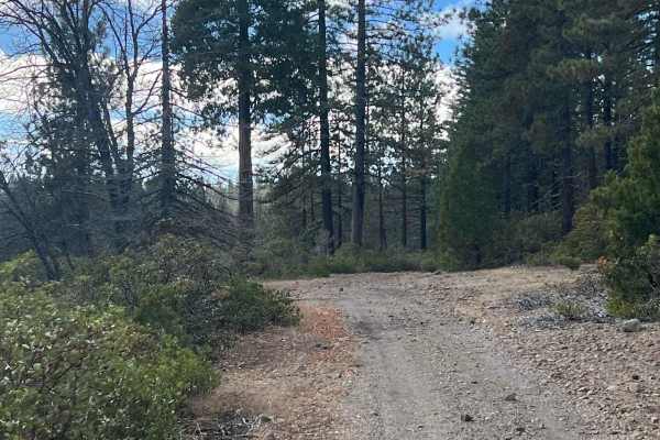
Rated a 1 owing to the gentle topography, stable dirt foundation, and complete absence of technical rock steps, deep ruts, or ledge drop-offs. The roadbed remains level and predictable throughout, though soft brush and scrub oak flank the lane closely on the lower descent. Exercising basic awareness of vehicle width against encroaching roadside greenery and planning for a tight multi-point turnaround at the terminal tree blockage ensures an effortless trip.
Difficulty
Rated a 1 owing to the gentle topography, stable dirt foundation, and complete absence of technical rock steps, deep ruts, or ledge drop-offs. The roadbed remains level and predictable throughout, though soft brush and scrub oak flank the lane closely on the lower descent. Exercising basic awareness of vehicle width against encroaching roadside greenery and planning for a tight multi-point turnaround at the terminal tree blockage ensures an effortless trip.