Trail Overview
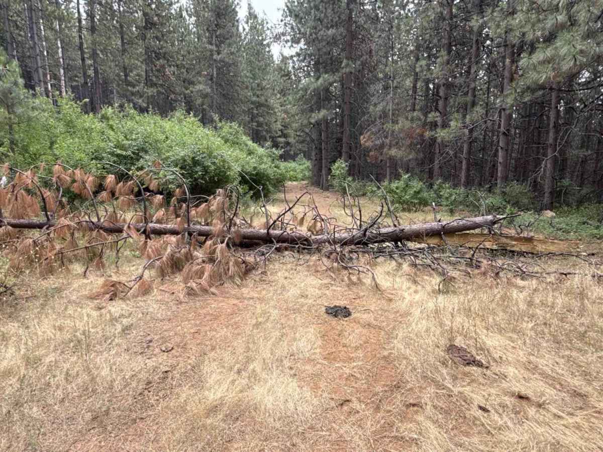
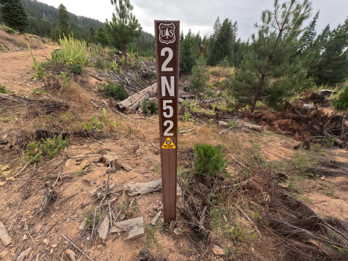
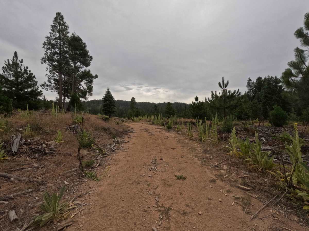
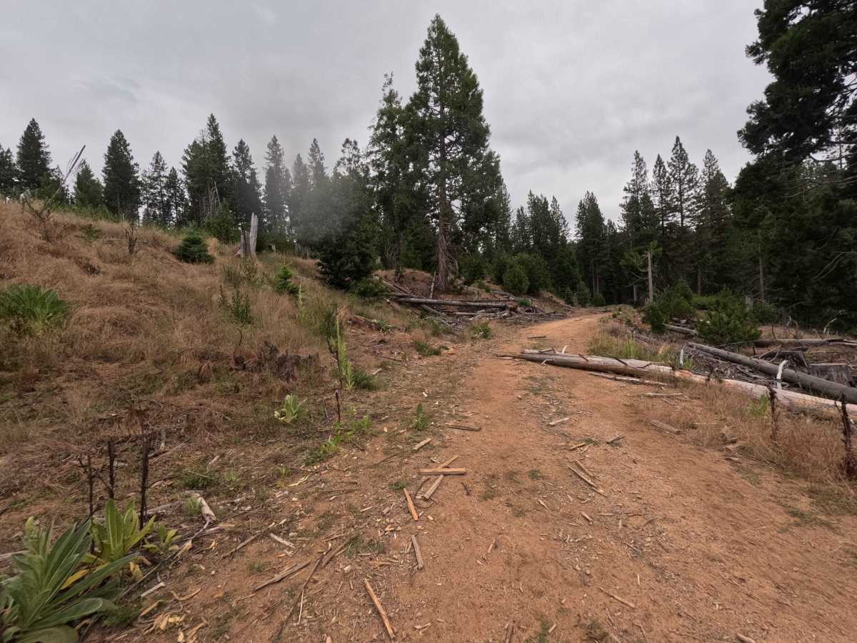
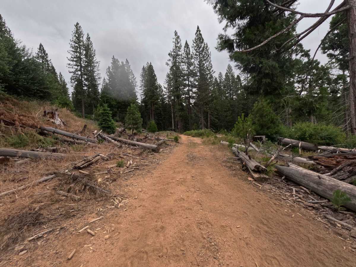
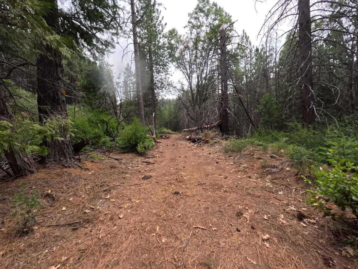
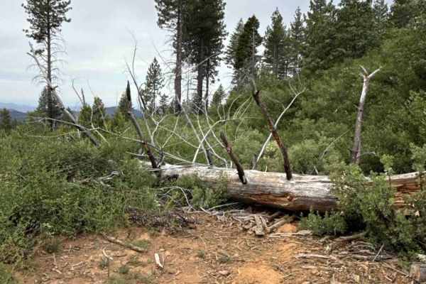
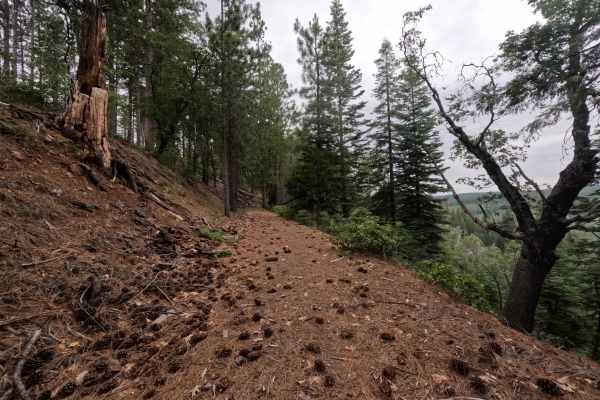
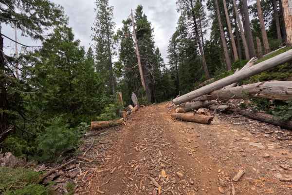
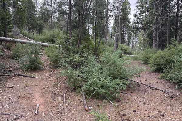
FS 2N52 branches northeast directly off FS 3N07, serving as a brief out-and-back spur into the backcountry. Set within the Stanislaus National Forest, the track cuts across open timber clearings, young pine regrowth, and mountain chaparral before entering taller conifer stands. This single-lane, natural-surface dirt spur features an even, pine-needle-strewn tread rated at an easy 1. The route rolls smoothly with negligible grade changes, threading past previous clearing cuts through downed logs and light roadside brush. Vehicle travel abruptly terminates near the six-tenth-mile mark, where a large fallen pine completely obstructs the corridor with no bypass. Explorers primarily utilize this quiet spur for short sightseeing side trips, peaceful forest viewing, or seeking tranquil turnaround spots away from the primary thoroughfare.
Difficulty
Rated a 1 due to the gentle, unchallenging natural dirt surface, mild topography, and complete absence of technical rock steps or deep erosion ruts. The firm path is coated in soft pine needles and loose forest litter that pose no traction challenges in dry conditions. The corridor narrows slightly where downed logs have been cleared and brush encroaches along the edges, requiring basic steering awareness to avoid light foliage contact. Because a fallen tree completely blocks the road at the end, expect to perform a tight, multi-point turnaround within the final clearing to head back.