FS 33N02

Total Miles10.9
Technical Rating
1Easy
Best TimeSpring, Summer, Fall
Trail TypeFull-Width Road
Accessible By
Open Trail Map

Trail Overview

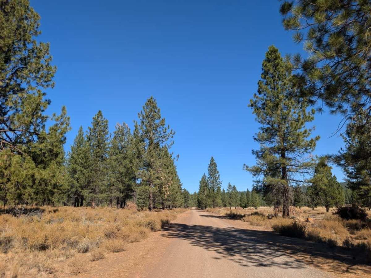
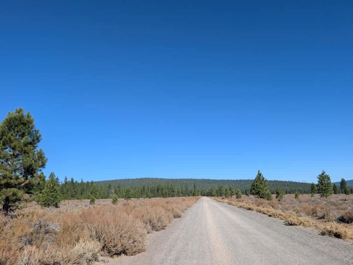
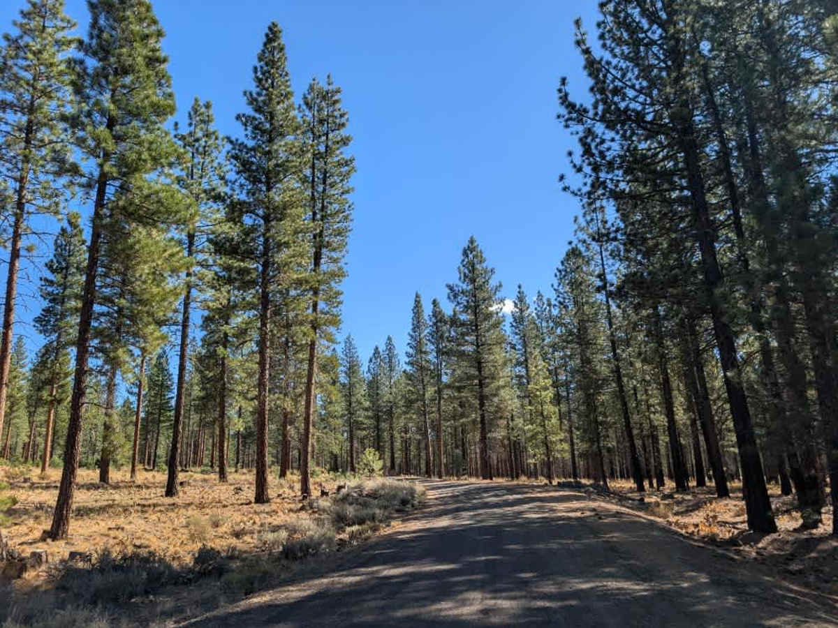
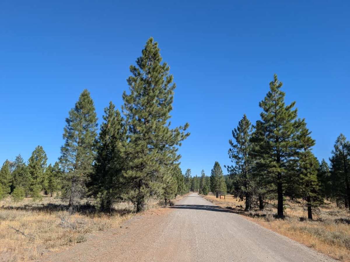
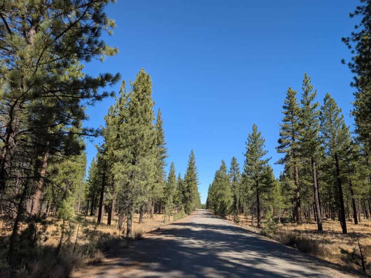
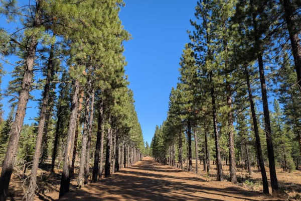
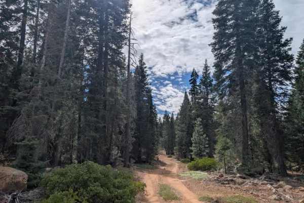
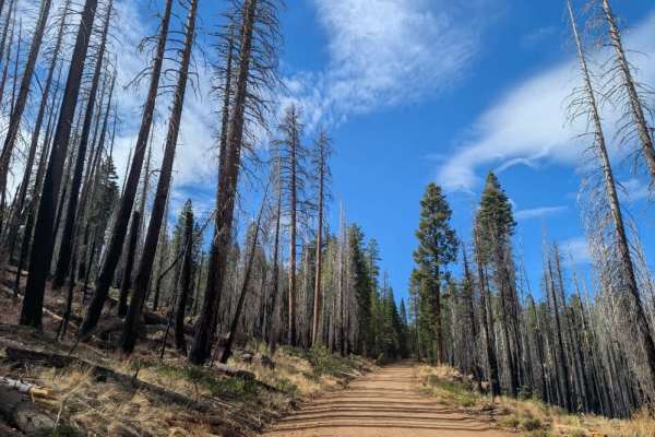
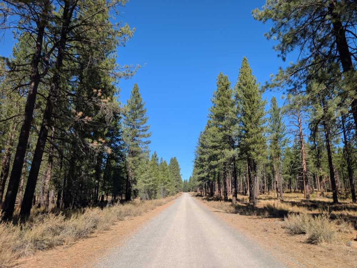
This well-maintained gravel road branches off the paved FS 44 and serves as a main connector through the area, gradually climbing into the mountains toward Shoestring Harvey and Ashurst Lake. The route begins in a more open forest setting, with the trees becoming denser as you approach Harvey Mountain Lookout. Although the surface remains in good condition overall, watch for a few rockier stretches along the way. Several side spurs branch off the main road, offering opportunities for dispersed camping along the route. This trail is accessible only to Highway Legal Vehicles, so please do not use any other type of vehicle on this road. ATVs, UTVs, Side-by-Sides, and Dirt Bikes must always have a valid California ATV Operating Permit sticker.

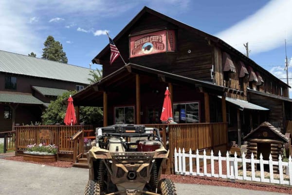
Photos of FS 33N02

Difficulty

This well-maintained gravel road is easy to navigate, with a gradual climb and occasional rocky sections.

Technical Rating

1

FS 33N02 Trail can be accessed by the following ride types:

  • High Clearance
  • Full Width

FS 33N02 Map

The onX Offroad Difference

onX Offroad combines trail photos, descriptions, difficulty ratings, width restrictions, seasonality, and more in a user-friendly interface. Available on all devices, with offline access and full compatibility with CarPlay and Android Auto. Discover what you're missing today!

Open Trail Map