FS 32N22

Total Miles7.6
Technical Rating
1Easy
Best TimeSpring, Summer, Fall
Trail TypeFull-Width Road
Accessible By
Open Trail Map

Trail Overview

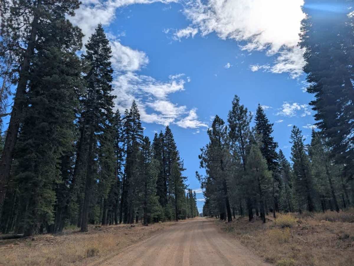
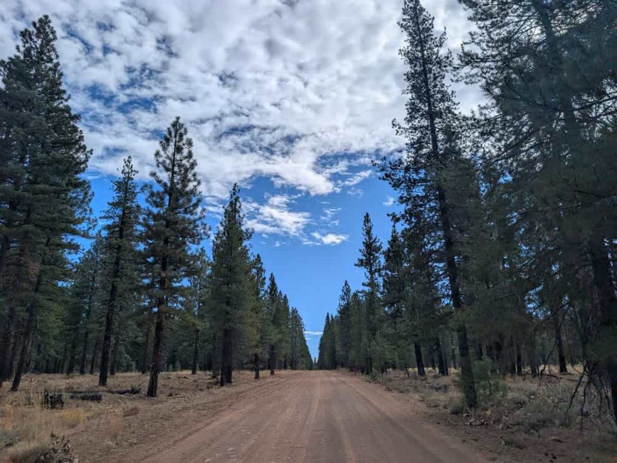
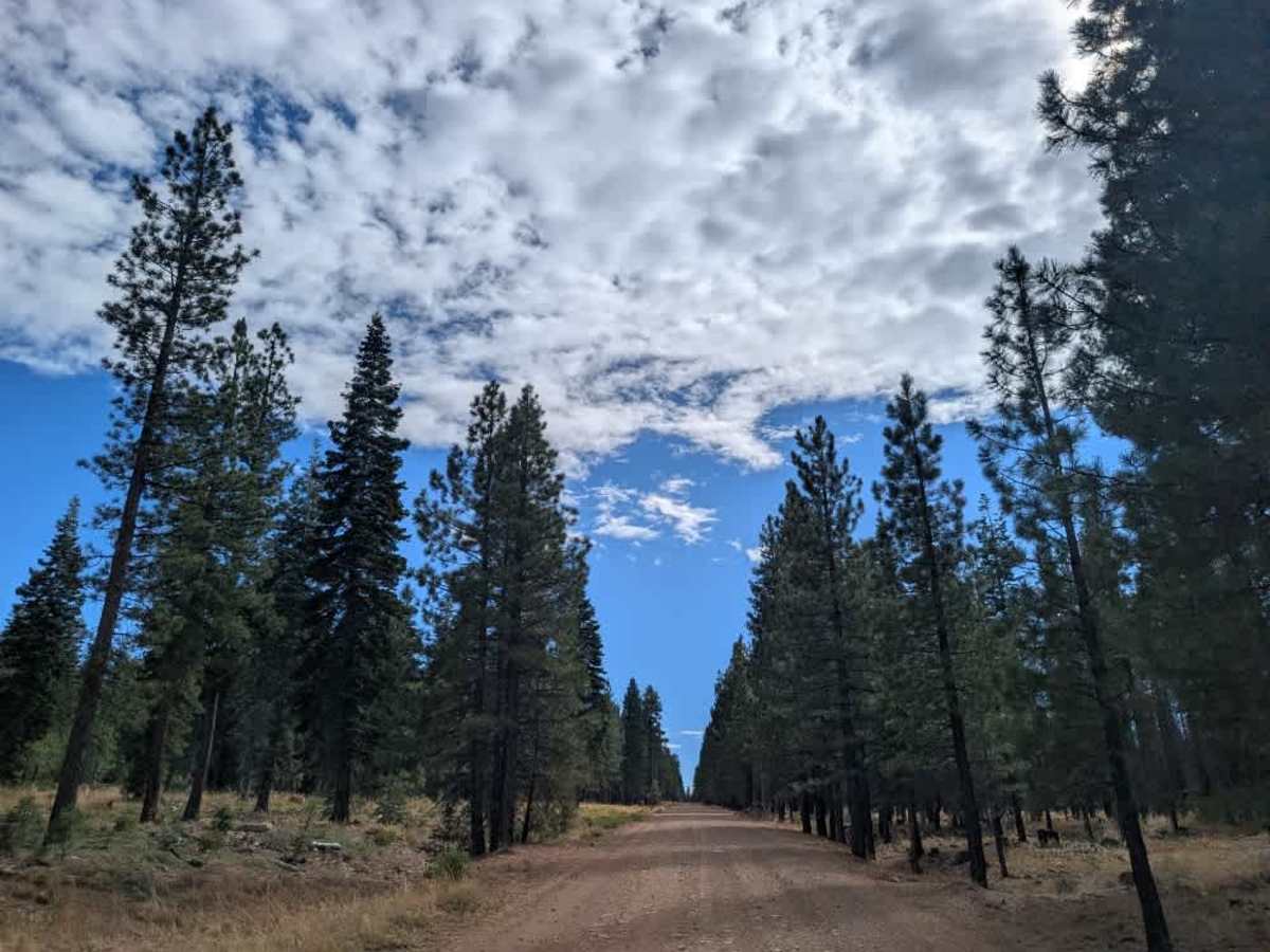
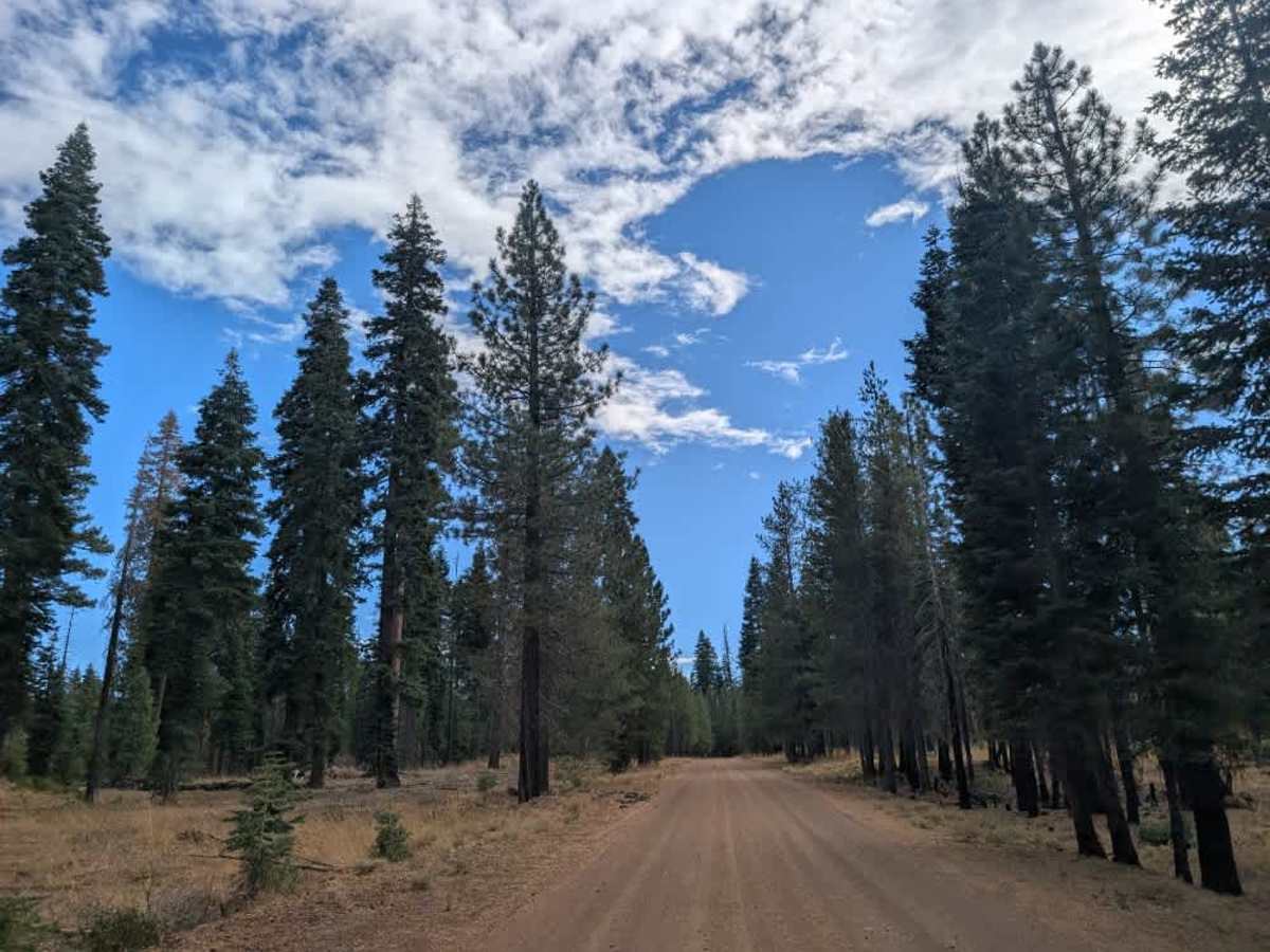
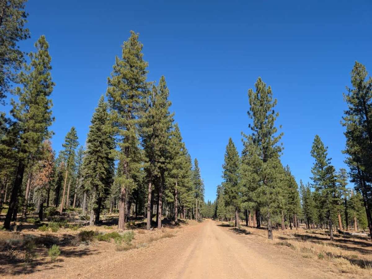
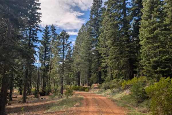
This wide, well-maintained, double-lane dirt road connects the 44 with A21 and provides access to numerous spur trails throughout the area. The surface is generally in good condition, with some light corrugation and rocky sections, but it’s an easy route overall. Traffic is present along the road, especially toward the end of the year when Christmas tree cutting takes place in designated areas. Watch for other vehicles, especially during this busy season. Much of the surrounding land belongs to Sierra Pacific Land and Timber Company, so stay within the permitted forest land and avoid private property. Clearly posted white signs mark private areas, so pay attention to signage before exploring any of the side roads or spurs. A couple of potential dispersed camping spots also line the route, and you can access Bogard Campground from this main road. A cattle guard marks the approach to the paved 44. This trail is restricted to highway-legal vehicles only. Please respect private property boundaries and stay on permitted routes when exploring the surrounding area. ATVs, UTVs, Side-by-Sides, and Dirt Bikes must always have a valid California ATV Operating Permit sticker.

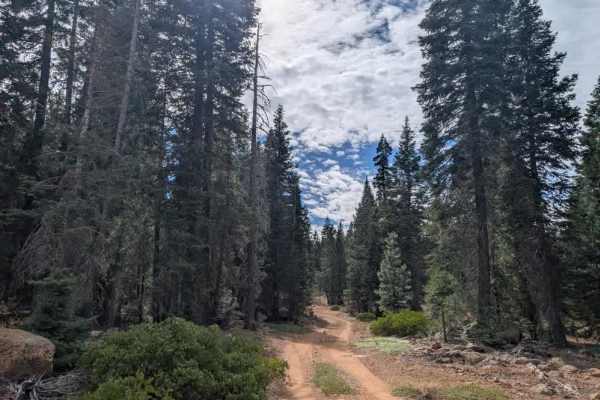
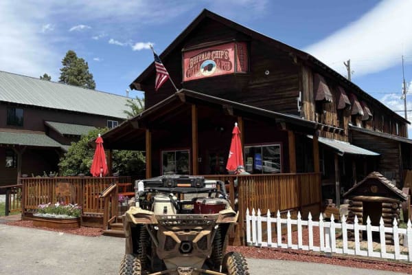
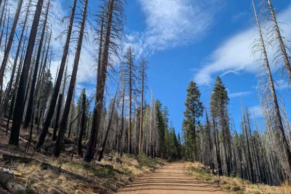
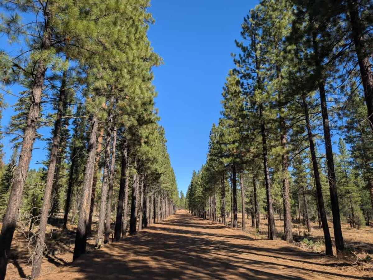
Photos of FS 32N22

Difficulty

The route is generally straightforward, with minor corrugation and scattered rocks along the surface.

Technical Rating

1

FS 32N22 Trail can be accessed by the following ride types:

  • High Clearance
  • Full Width

FS 32N22 Map

The onX Offroad Difference

onX Offroad combines trail photos, descriptions, difficulty ratings, width restrictions, seasonality, and more in a user-friendly interface. Available on all devices, with offline access and full compatibility with CarPlay and Android Auto. Discover what you're missing today!

Open Trail Map