FS 30N03C

Total Miles1.2
Technical Rating
1Easy
Best TimeSpring, Summer, Fall
Trail TypeFull-Width Road
Accessible By
Open Trail Map

Trail Overview

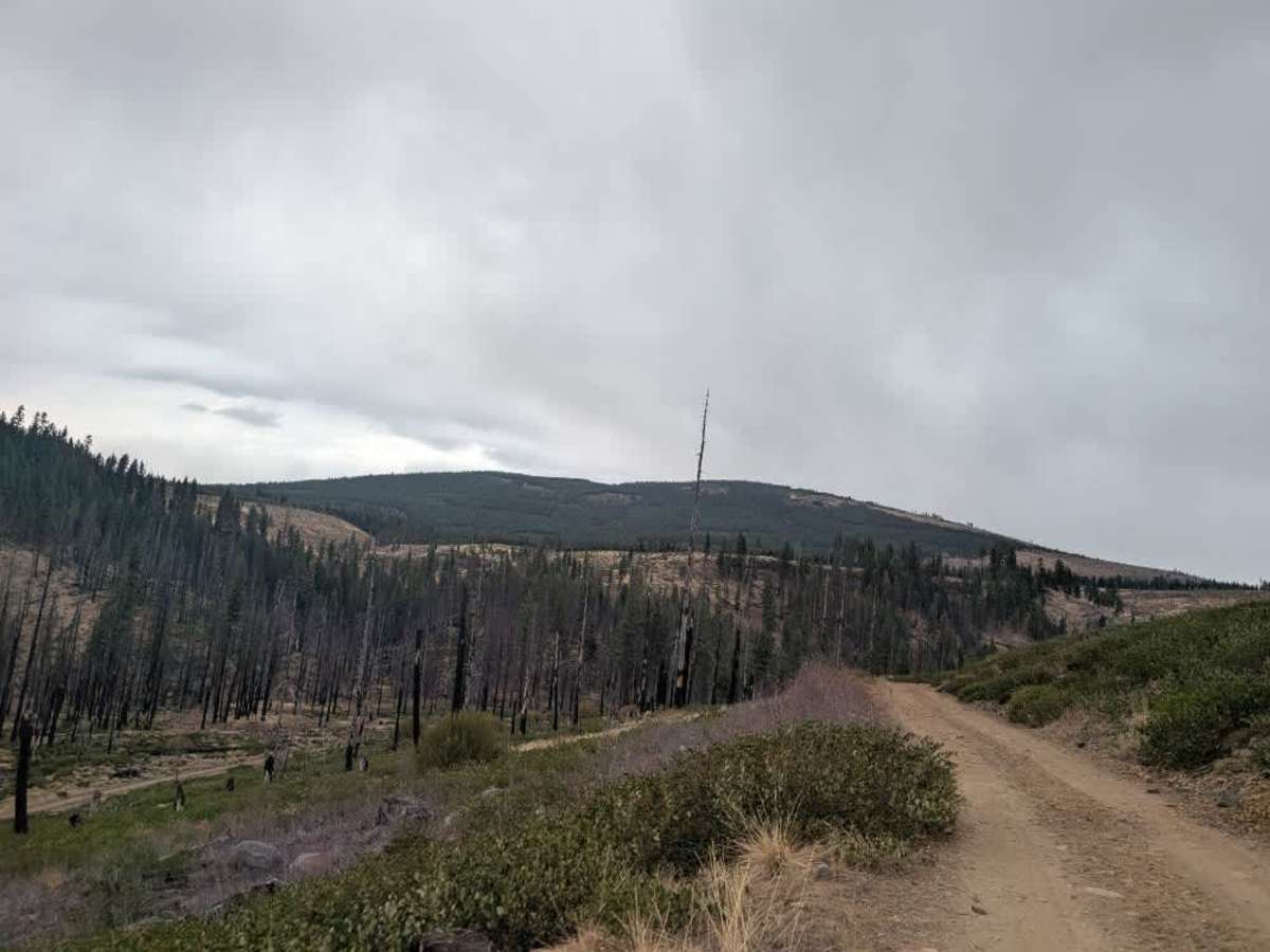
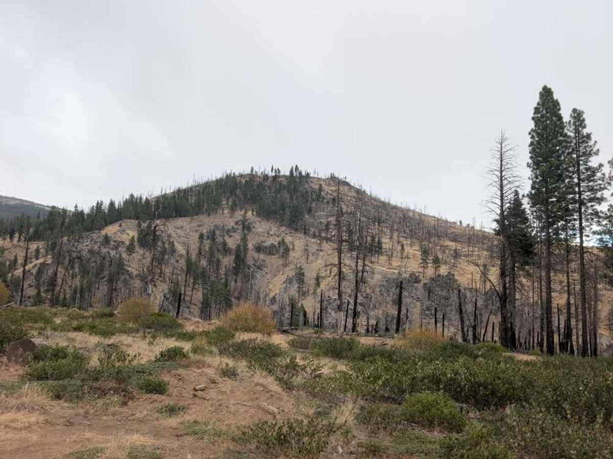
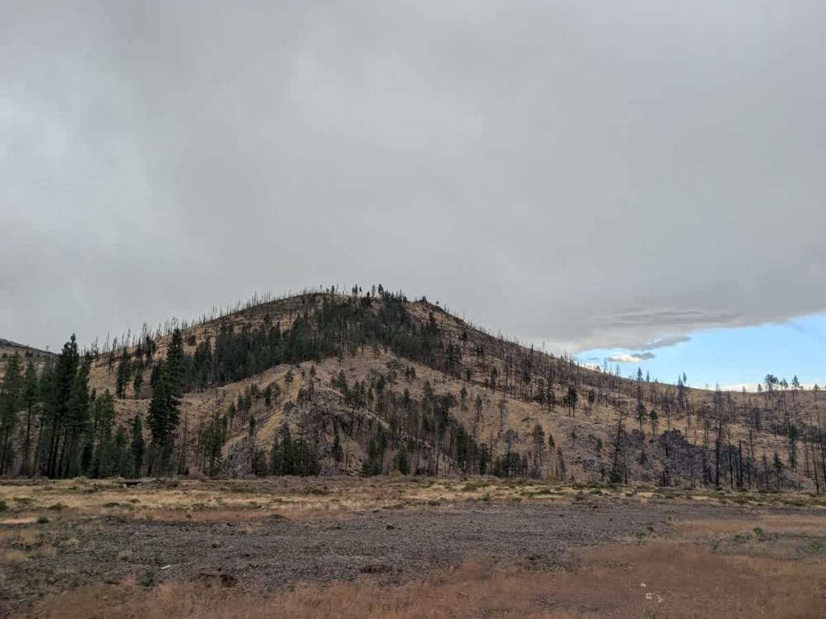
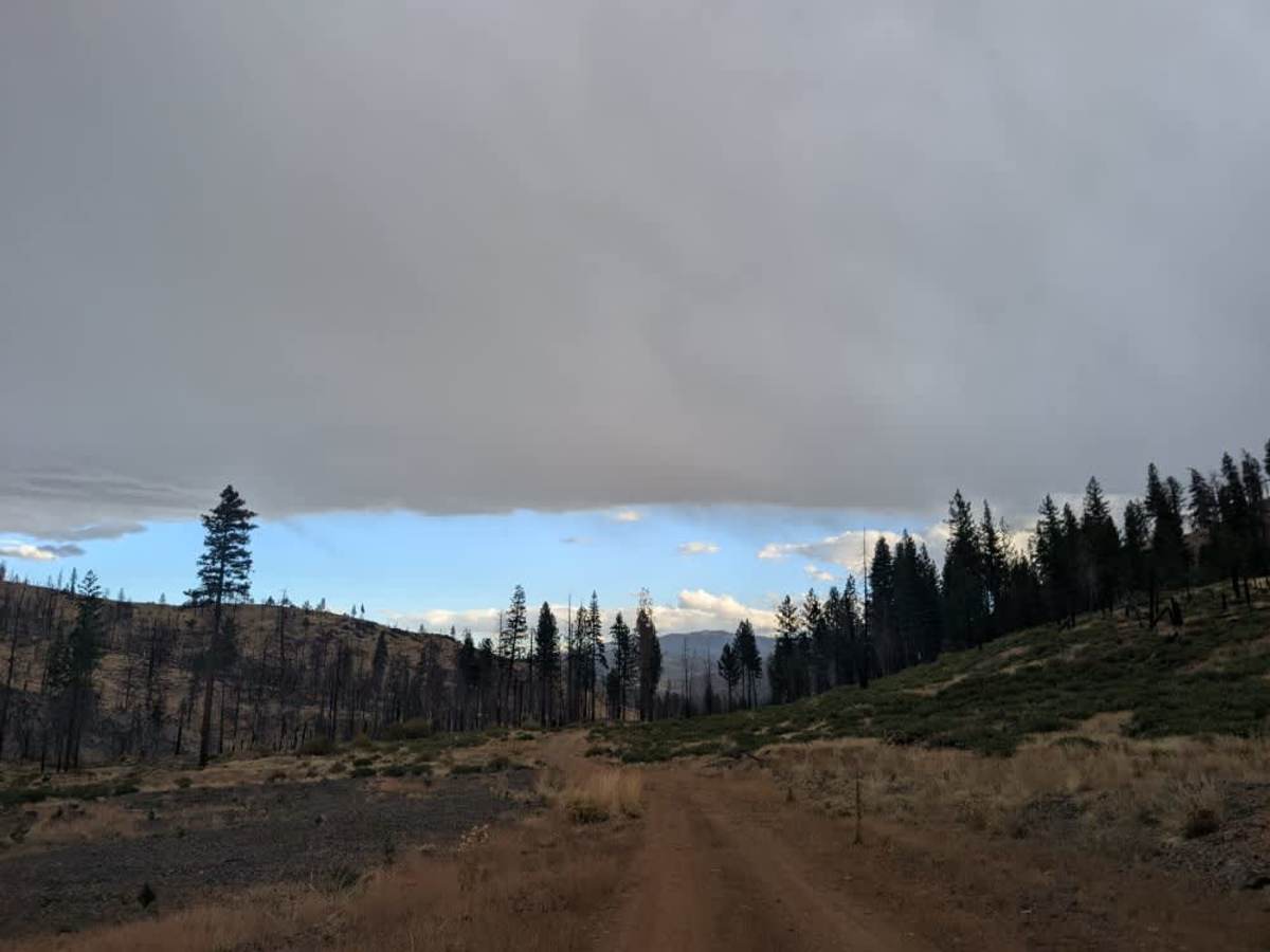
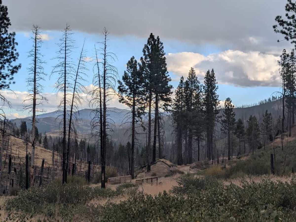
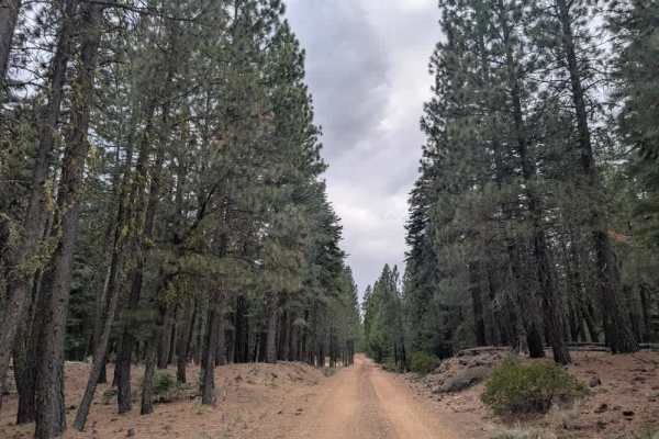
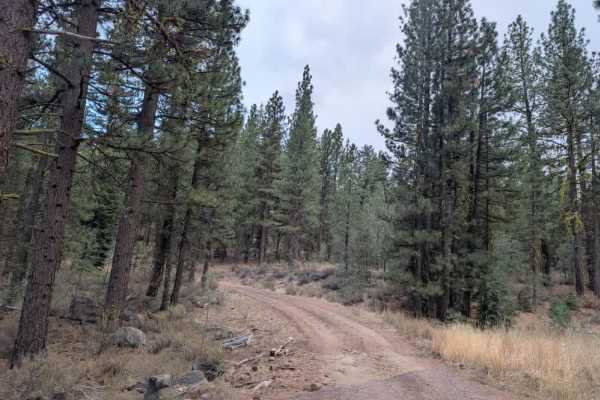
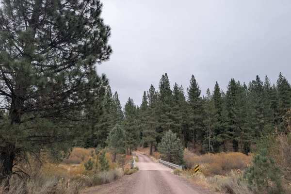
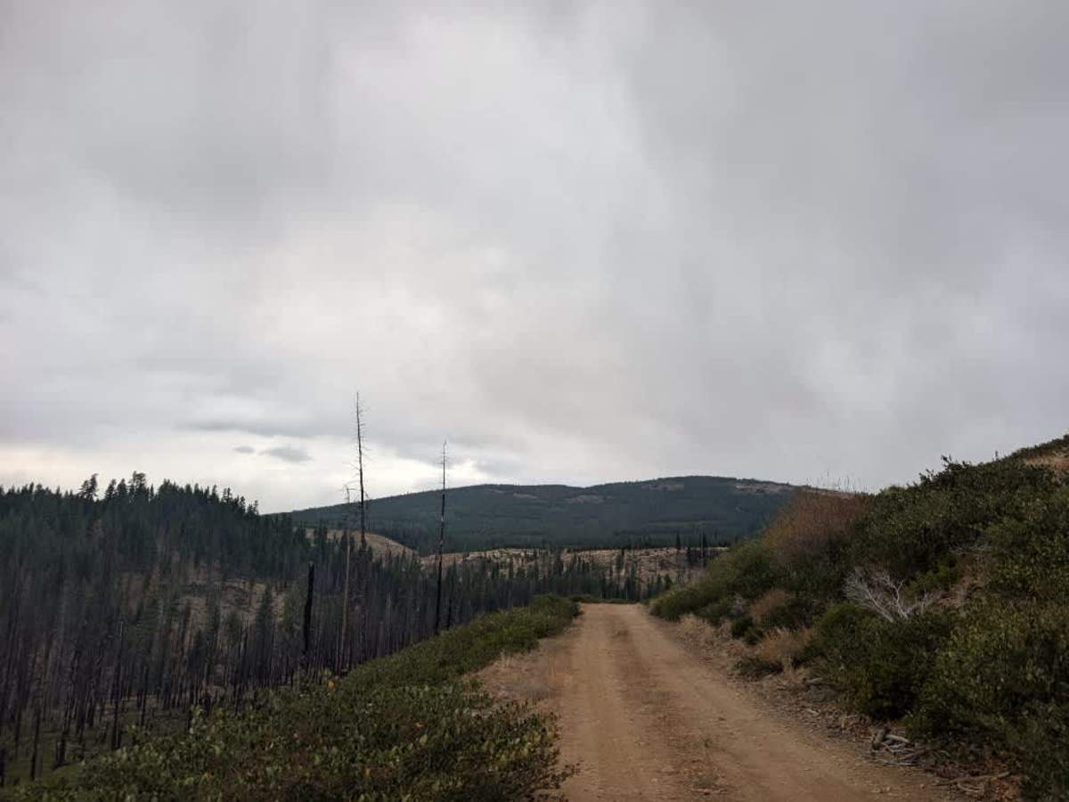
This relatively well-maintained white gravel road winds down the mountain, with plenty of dust and lovely views of the surrounding landscape. One highlight is an impressive volcanic rock face that rises dramatically beside the route, making this area particularly beautiful to explore. The road becomes a little rougher and rockier near the bottom, but the conditions should still be manageable for most vehicles. A wide pull-off area near the volcanic rock formations lets you park and access the Bizz Johnson National Recreation Trail. The road ends where logs and other debris block further travel, so don't try to continue beyond this point. ATVs, UTVs, Side-by-Sides, and Dirt Bikes must always have a valid California ATV Operating Permit sticker.

Photos of FS 30N03C

Difficulty

The route is straightforward overall, though loose gravel and increasing rocks require some attention near the end.

Technical Rating

1

FS 30N03C Trail can be accessed by the following ride types:

  • Single Track
  • 50 Inch
  • 60 Inch
  • High Clearance
  • Full Width

FS 30N03C Map

The onX Offroad Difference

onX Offroad combines trail photos, descriptions, difficulty ratings, width restrictions, seasonality, and more in a user-friendly interface. Available on all devices, with offline access and full compatibility with CarPlay and Android Auto. Discover what you're missing today!

Open Trail Map