Trail Overview
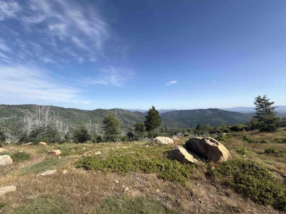
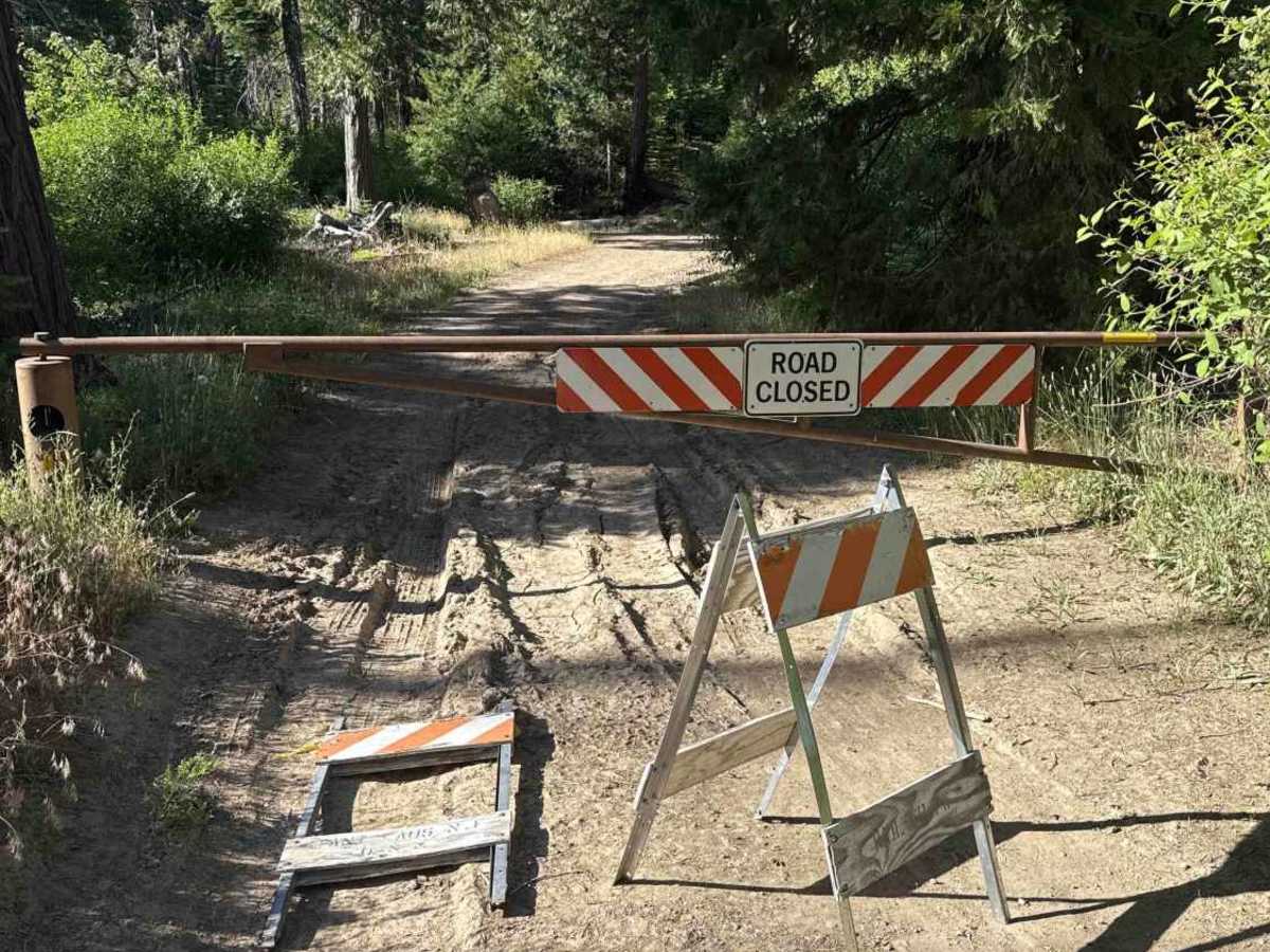
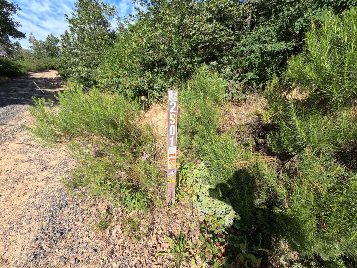
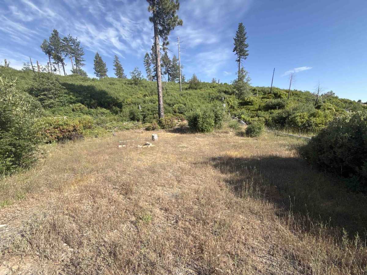
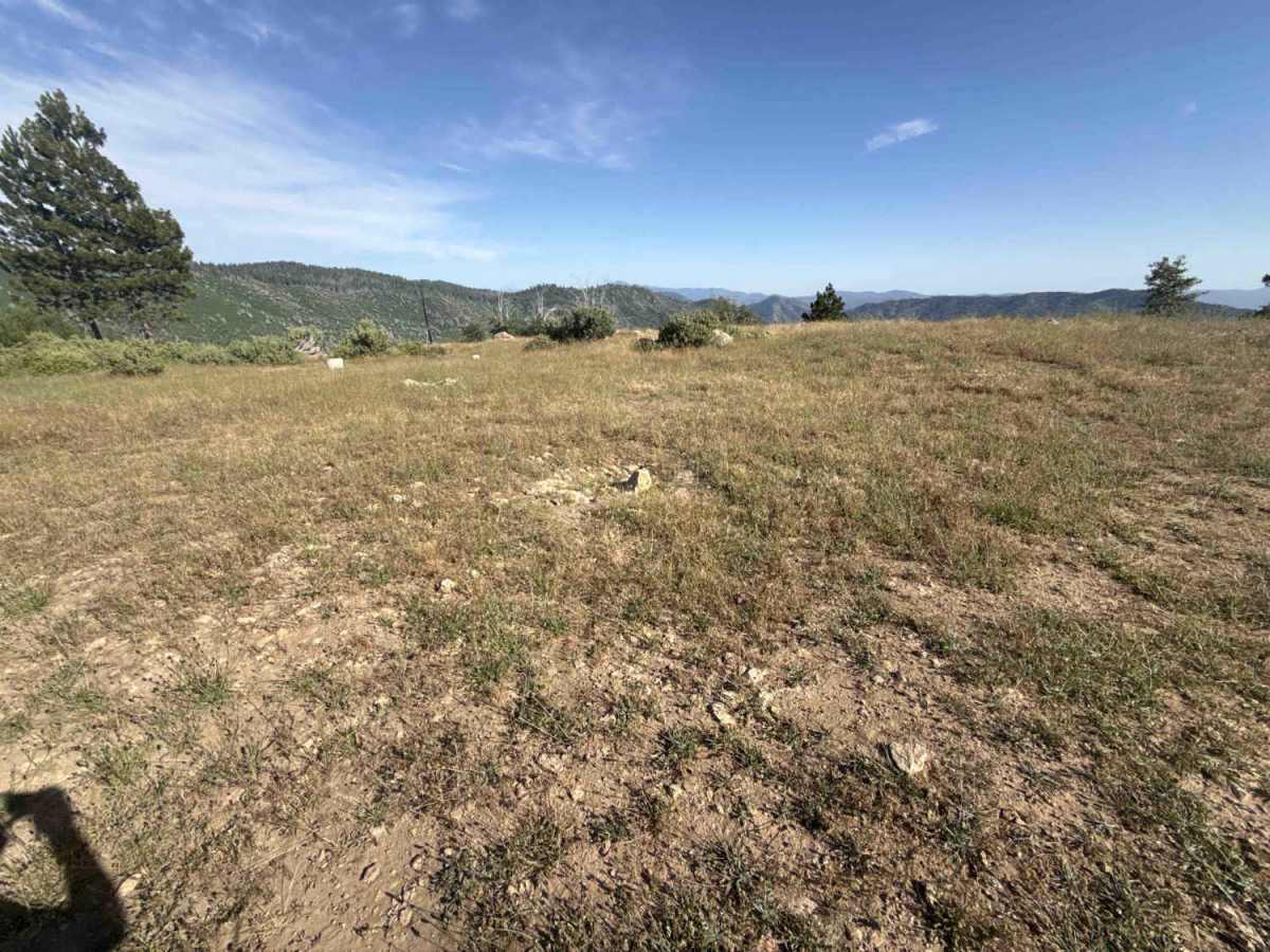
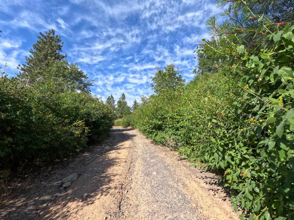
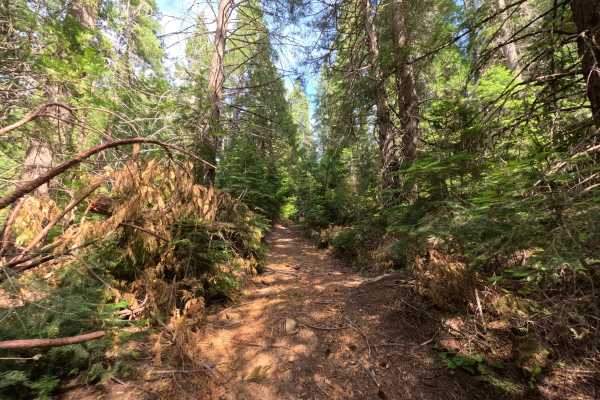
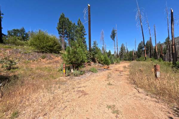
Branching off Forest Service Road 1S12, Forest Service Road 2S01 functions as a useful connector route that provides throughput to a broader web of backcountry trails within the Stanislaus National Forest. The surrounding landscape features a dynamic mix of mature ponderosa pines, dense oak scrub, and vibrant chaparral vegetation recovering across open hillsides following the 2013 Rim Fire. Composed of a single-lane native dirt and gravel tread, overlanders and recreationists regularly navigate this corridor to reach scenic high points and established dispersed campsites, including a prime clifftop clearing that offers sweeping panoramic vistas over the rugged Sierra Nevada ridgelines. The track alternates between shaded tree cover and sunny mountain clearings, serving as a dependable link between neighboring forest byways.
Difficulty
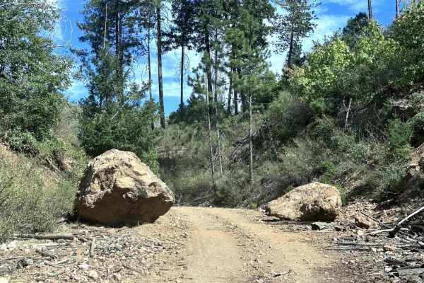
This route presents uneven terrain consisting of loose rock, small cobbles, and shallow to moderate surface ruts along the travel lane. While slopes are moderate, the loose stone can challenge tire grip on slight inclines, requiring steady momentum and attentive wheel placement. Encroaching manzanita and oak brush line the shoulder closely in multiple spots, making light paint contact likely on wider bodies. Maintaining a controlled pace and selecting smooth lines through rocky dips ensures an easy, drama-free passage.