Trail Overview
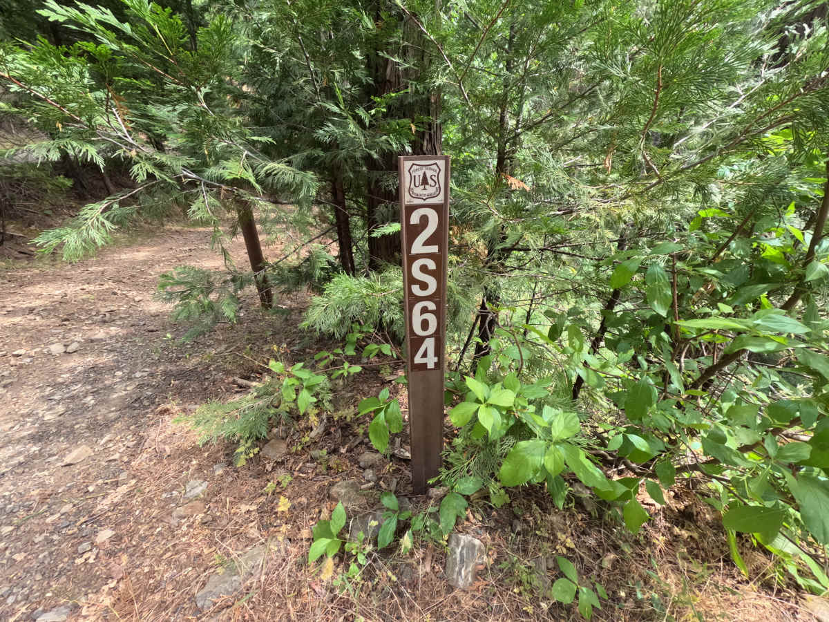
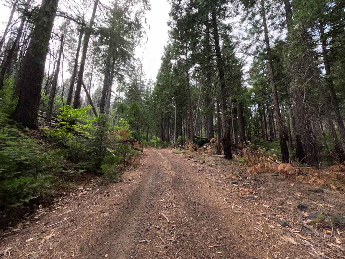
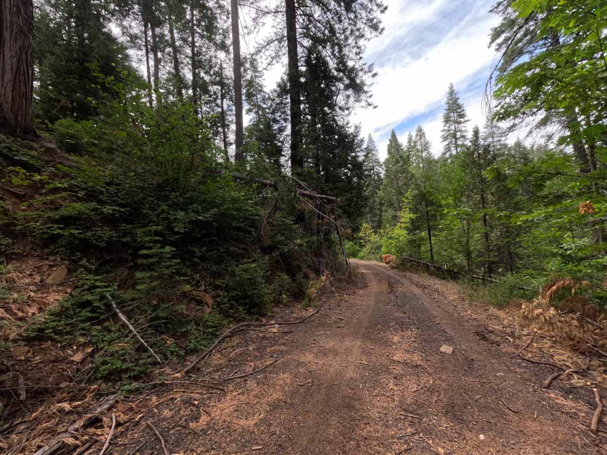
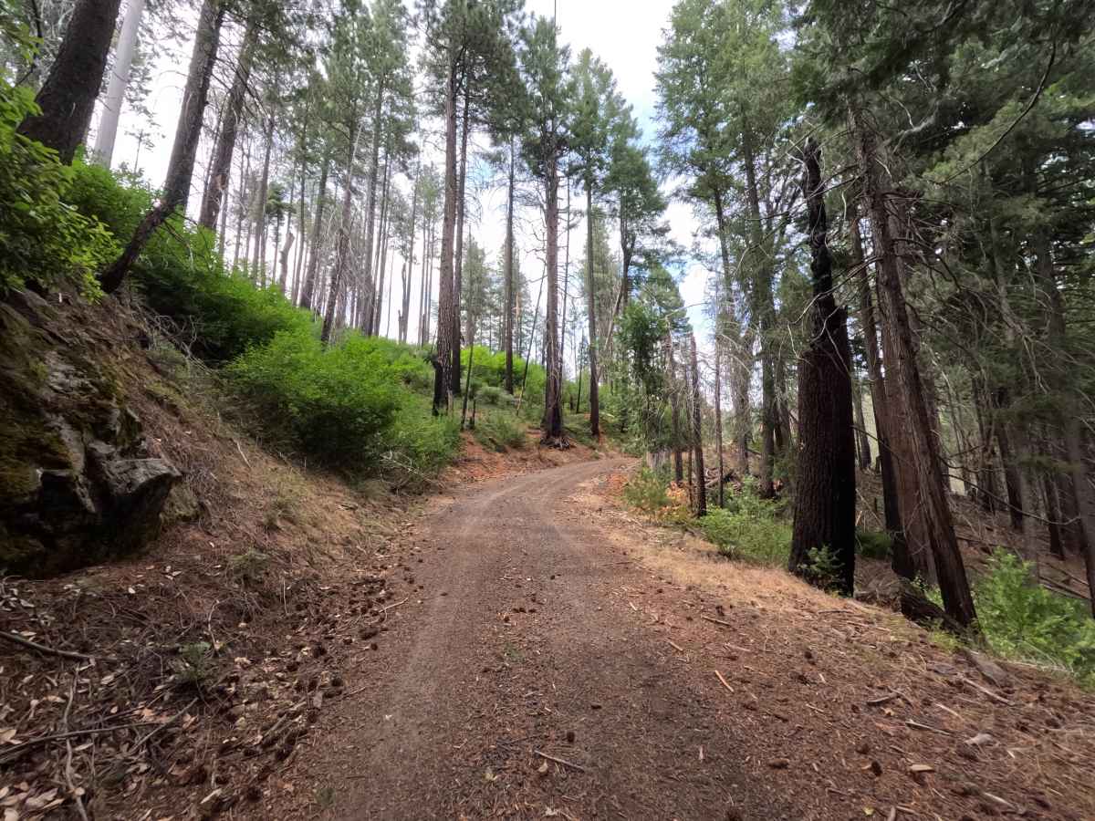
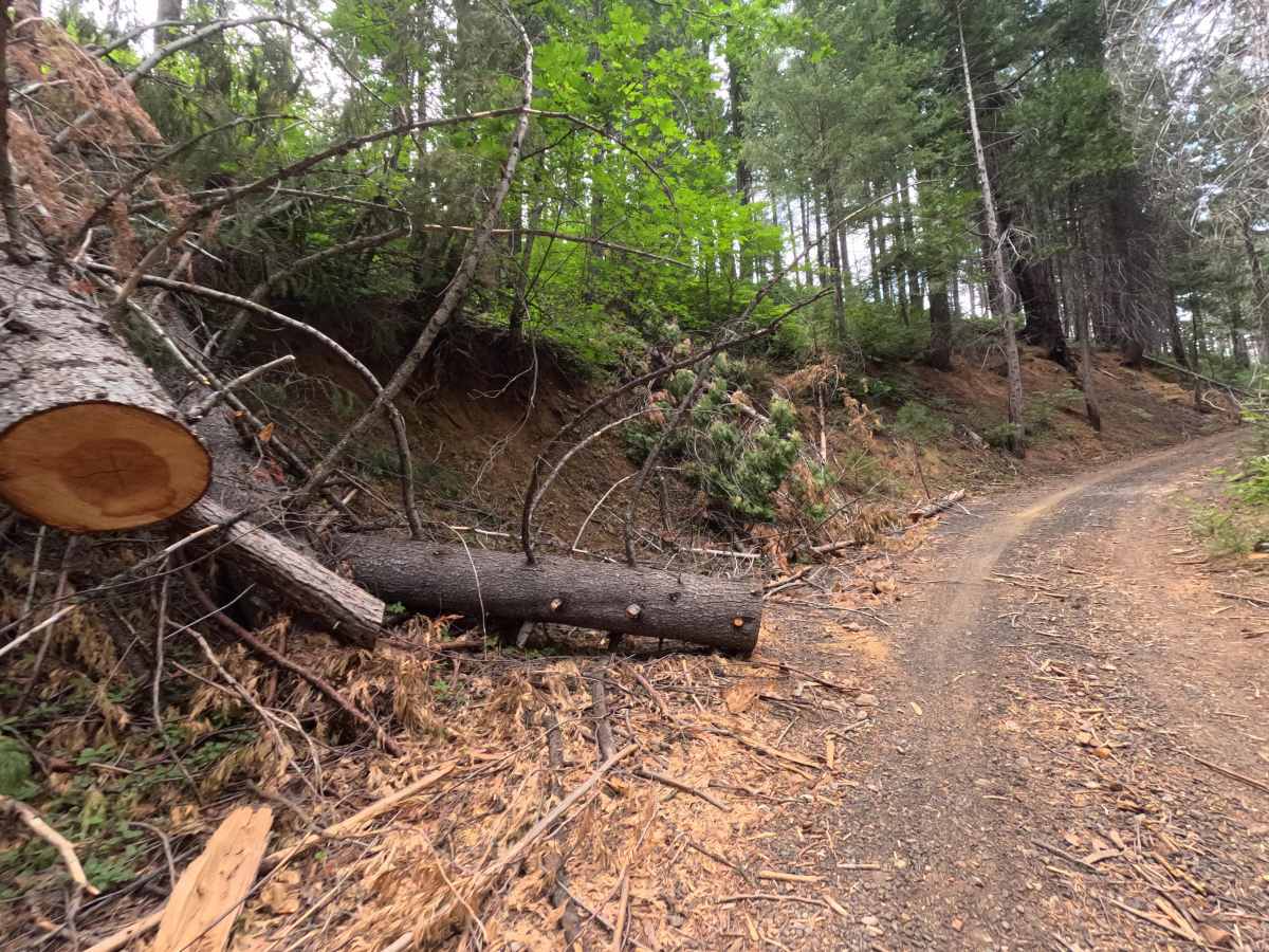
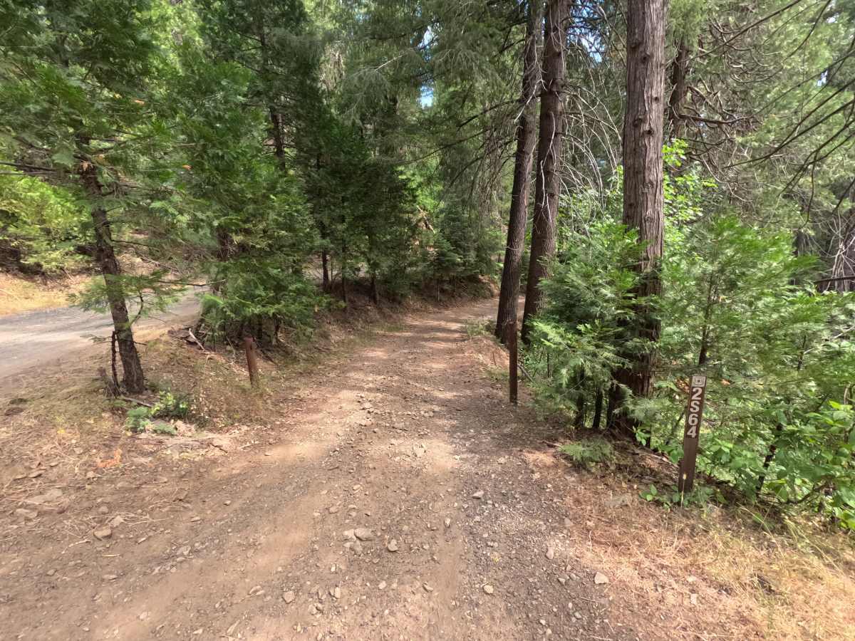
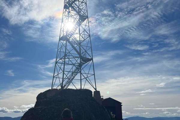
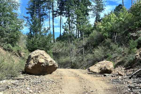
FS 2S64 is a through-connector linking Trumbull Peak Road and Packard Canyon Road, giving it a real purpose beyond a simple loop or dead end, and it sees use from drivers heading toward the historic Trumbull Peak lookout tower and its wildflower-covered slopes overlooking the Merced River Canyon. The route sits within the Groveland Ranger District of Stanislaus National Forest, winding through healthy, dense forest without any visible burn scarring along this stretch. The surface is a well-graded dirt and gravel road, wider and better maintained than many of the tighter spurs nearby, with fallen timber along the route cleared thoroughly enough that only scattered debris remains at the edges. The road includes a few steeper ascending sections partway through that call for a bit more throttle control than the flat stretches, though nothing here demands a slow crawl. There's no dispersed camping or turnaround area along this particular stretch, since its role is passing through rather than ending somewhere.
Difficulty
FS 2S64 has a handful of steeper ascents partway along an otherwise mellow, well-maintained connector. The surface itself is smooth, wide, and clear of significant debris thanks to consistent upkeep, and the small creek crossings along the way are shallow and non-technical. The steeper sections require a bit more sustained throttle and attention than the flat stretches but present no loose surface, ruts, or exposure to speak of. Nothing here pushes the difficulty higher, keeping this a comfortable, well-graded route from end to end.

 Offroad