Trail Overview
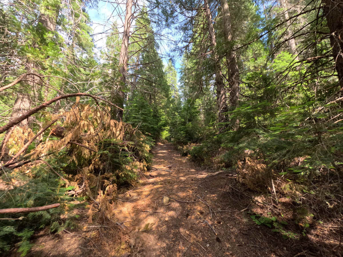
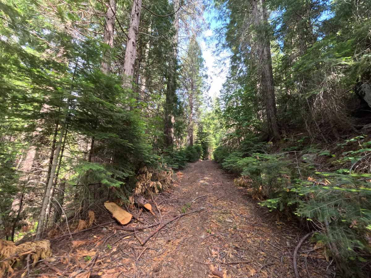
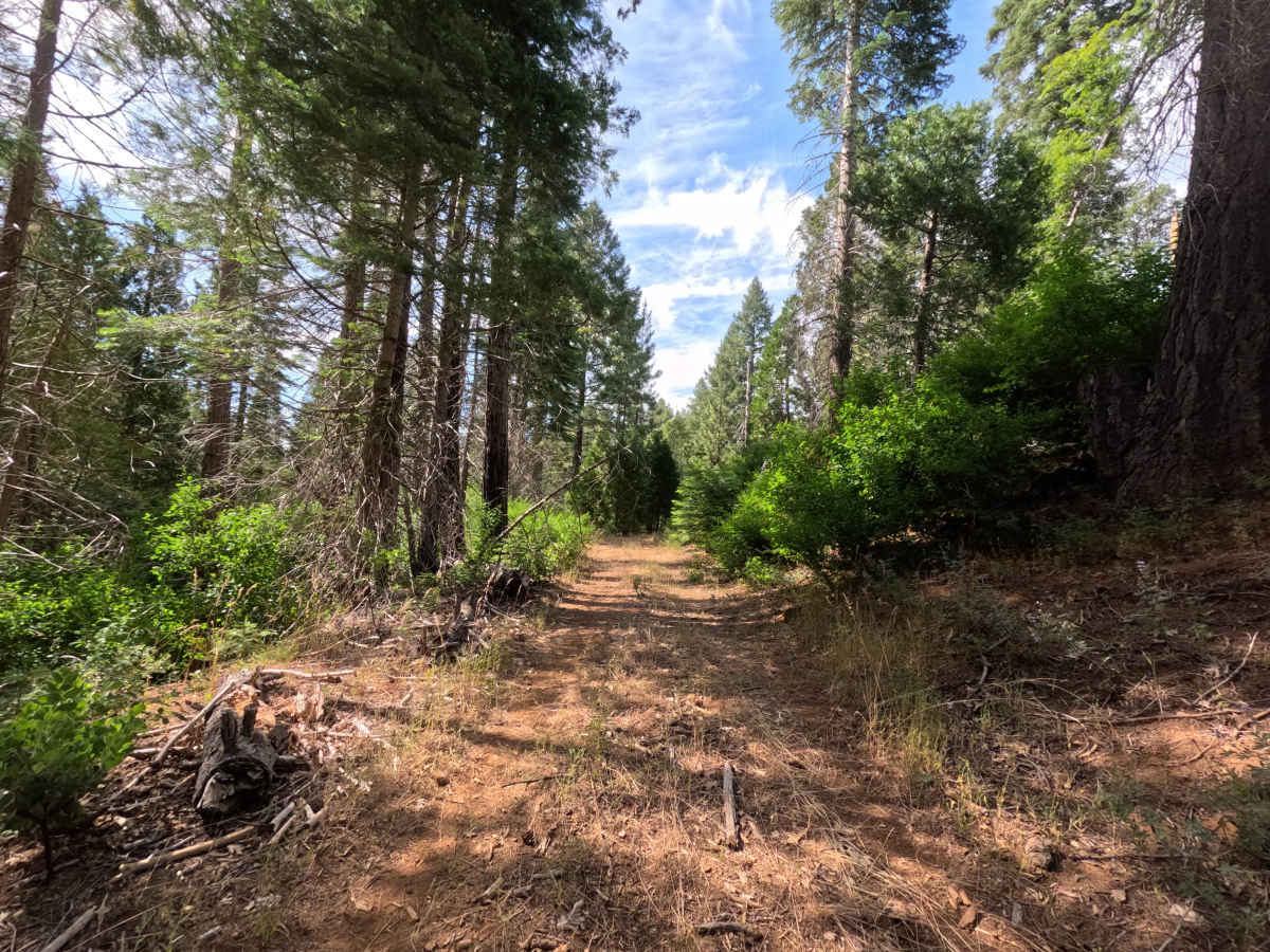
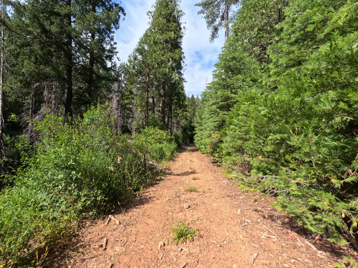
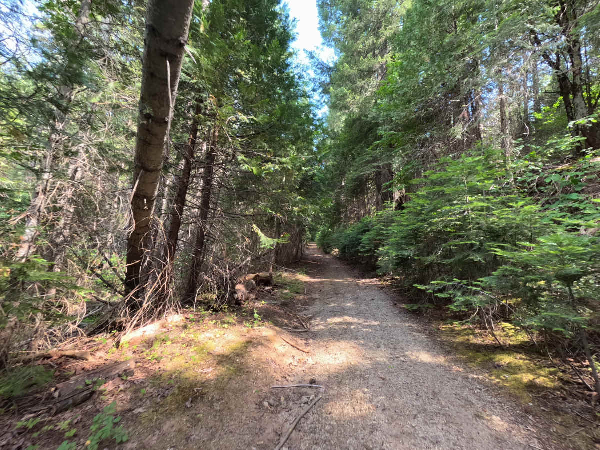
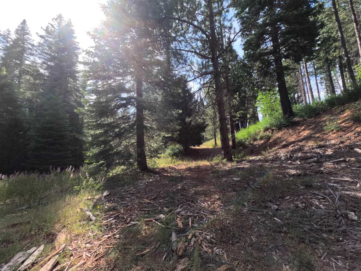
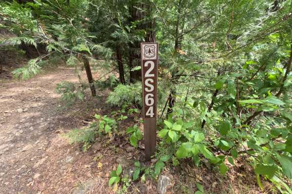
FS 1S12H branches off FS 1S12 in the Groveland Ranger District of Stanislaus National Forest, functioning as a short out-and-back spur rather than a through-connector, since it dead-ends at a single dispersed campsite. There are no through-connections or scenic overlooks along this stretch, just a narrow corridor leading directly to its destination. The surrounding forest shows no signs of fire history, with dense conifer cover and no charred or blackened growth visible along the route. The surface is a packed dirt track, tight and lightly traveled, with brush and low branches crowding the edges for much of its length, making pinstriping likely if the line isn't picked carefully. Nothing about the drive is technical, and the short distance keeps it a quick, low-stress add-on rather than a destination in its own right. The spur exists for one purpose: reaching the secluded campsite tucked in at its end, set within earshot of Big Creek.
Difficulty
Rated a 2, this spur earns its rating almost entirely from its width rather than any technical obstacle. Tight clearance and encroaching brush along most of the route mean pinstriping is common, and inattentive line choice can bring the vehicle into contact with vegetation on both sides. Nothing about the surface, grade, or terrain pushes it higher; there are no rock obstacles, ledges, ruts, or water crossings anywhere along the spur, and the tread itself stays smooth and consistent from the junction with 1S12 all the way to the campsite at the end.

 Offroad