Trail Overview
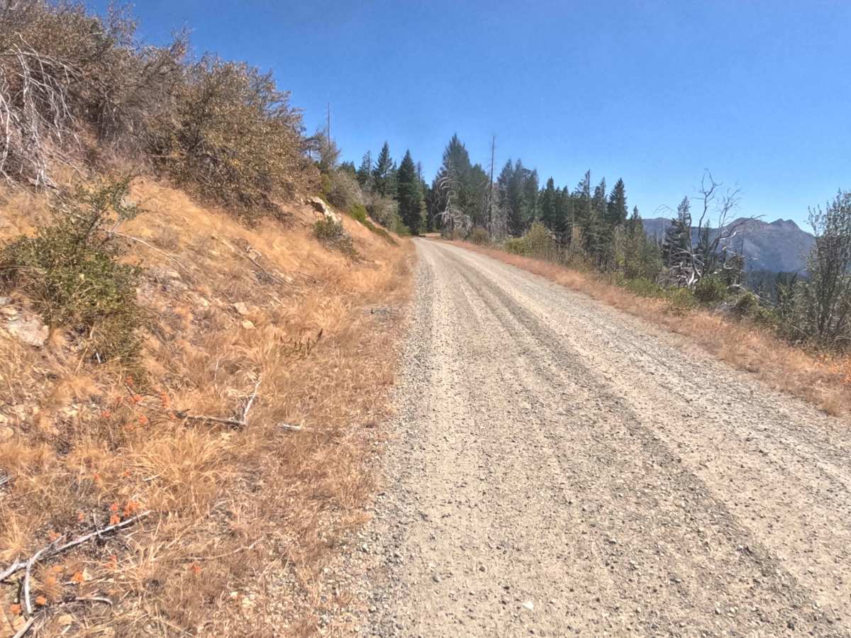
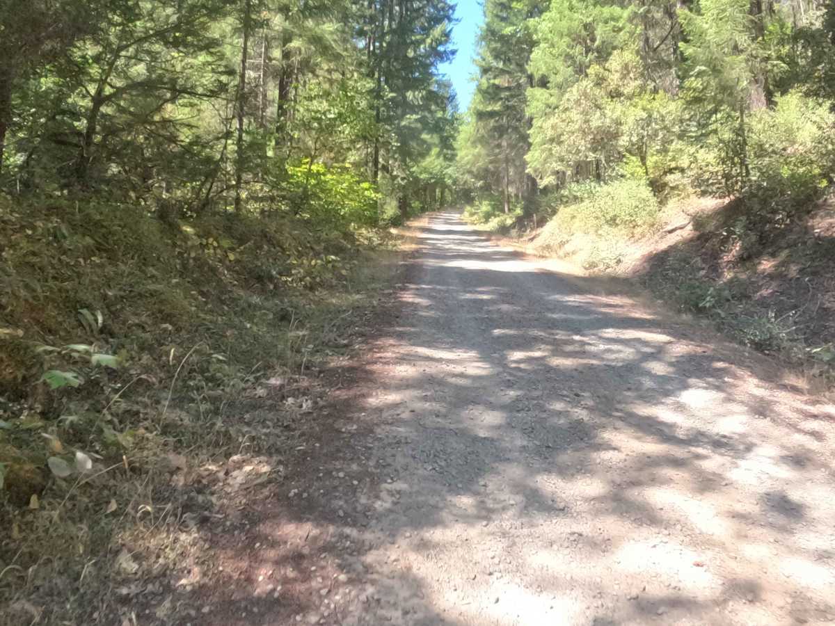
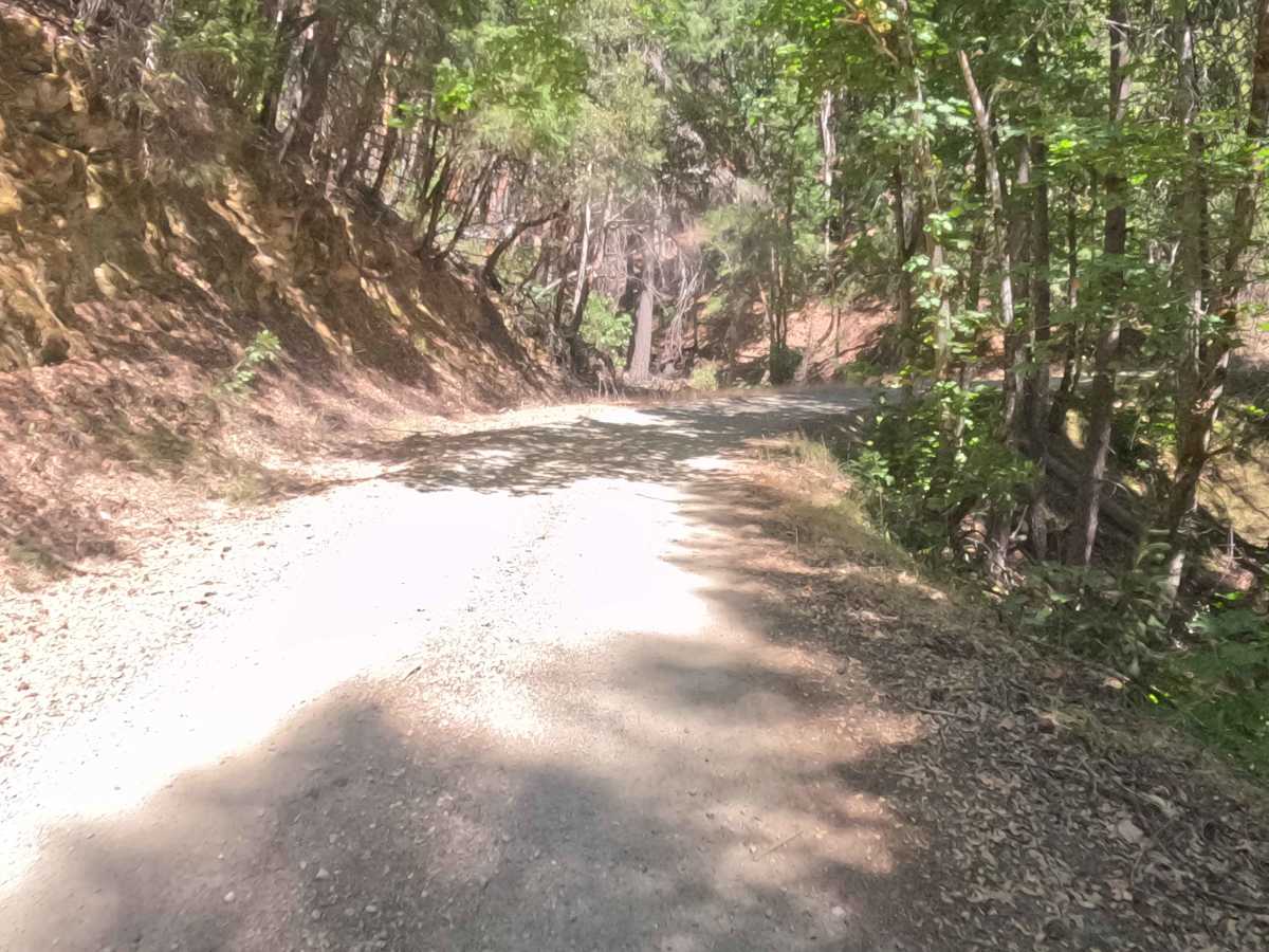
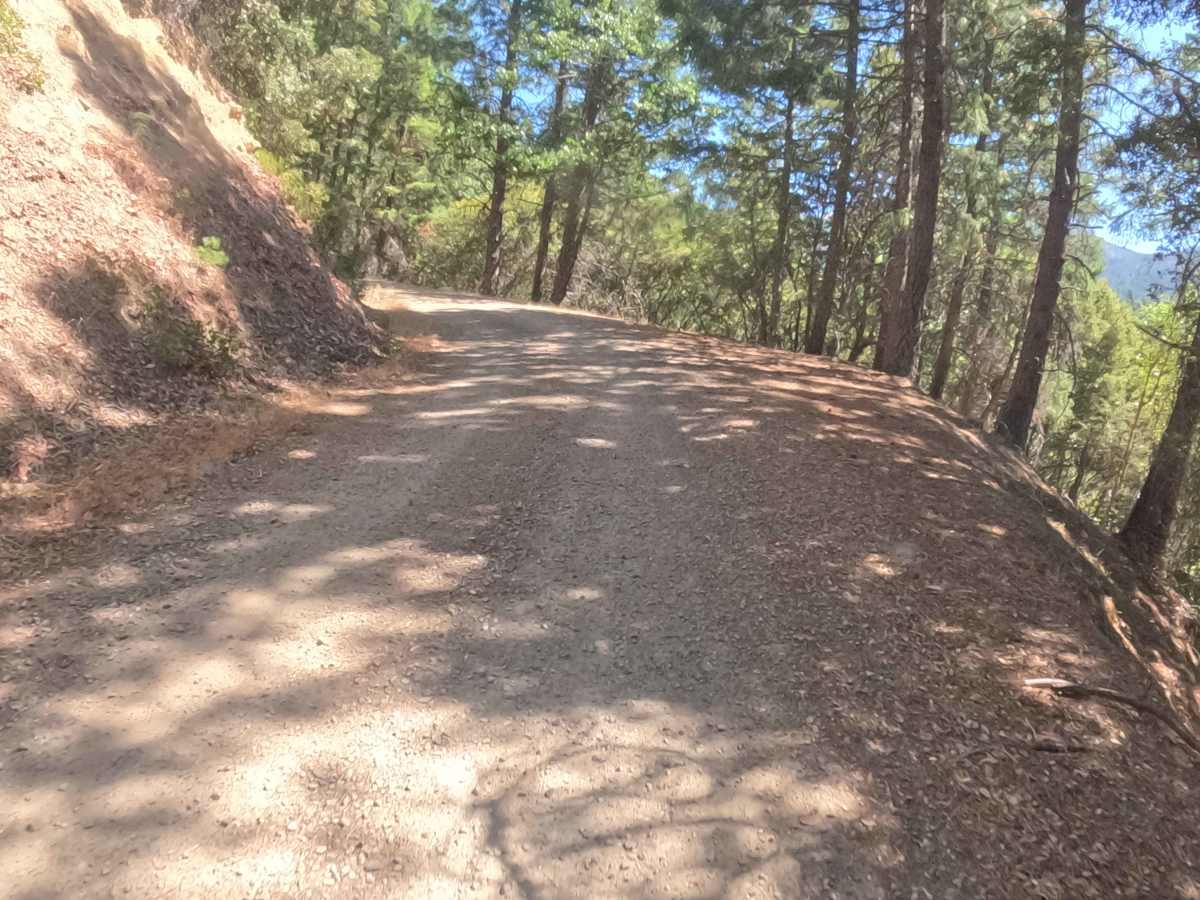
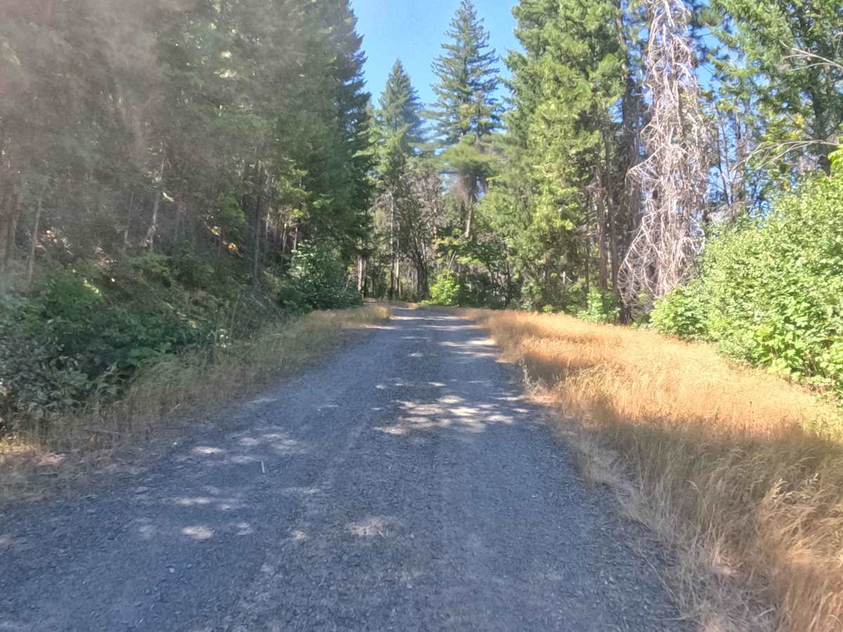
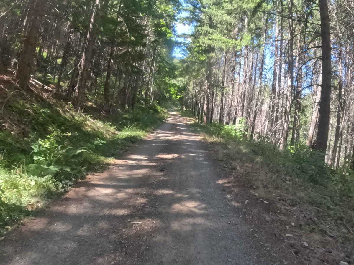
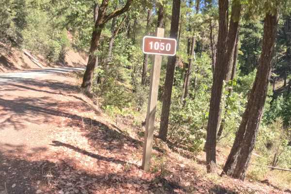
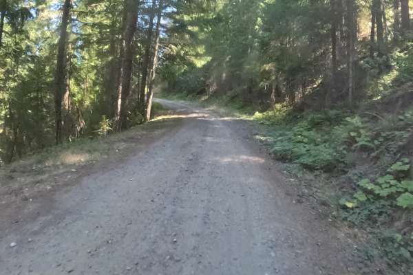
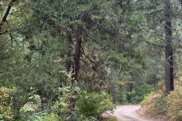
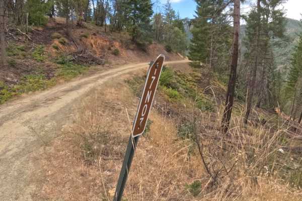
Accessed via Forest Road 1040 south of Upper Applegate Road, FS 1035000 serves as a scenic interstate connector offering seamless transit across the Oregon and California border. Functioning as a high-country thoroughfare, this mountain corridor links regional forestry routes surrounding the North and Middle Forks of the Applegate River. The route winds through an expansive mixed-conifer environment inside the Rogue River-Siskiyou National Forest, shaded by towering old-growth Douglas firs, incense cedars, and ponderosa pines. Outdoor recreators heavily utilize this road to access popular backcountry footpaths, including the Middle Fork National Recreation Trail #950 and routes leading toward Whisky Peak and the surrounding Red Buttes Wilderness. Because these trailheads attract steady equestrian riders, backpackers, and day hikers, drivers should maintain cautious sightlines near roadside parking turnouts and trail crossings. The driving surface consists of a wide, hard-packed gravel Forest Service road holding an accessible Grade 1 difficulty rating. Delivering open sightlines around gentle mountain bends and a smooth tread throughout, this primary thoroughfare provides an uncomplicated and delightful drive regardless of travel direction.
Difficulty
Holding a straightforward Grade 1 difficulty rating, this well-maintained interstate connector delivers a firm, predictable driving surface from end to end. Technical off-road hazards such as steep boulder steps, deep rutted mud, or narrow shelf drop-offs are completely non-existent along the entire route. The road gains elevation at a gradual, multi-percent incline along a wide, hard-packed gravel base that offers excellent traction and ample room for passing opposing traffic. Sweeping turns provide clear forward visibility, making speed control simple and stress-free. Standard factory ground clearance is entirely sufficient to navigate the consistent roadbed and complete the journey safely.

 Offroad