Trail Overview
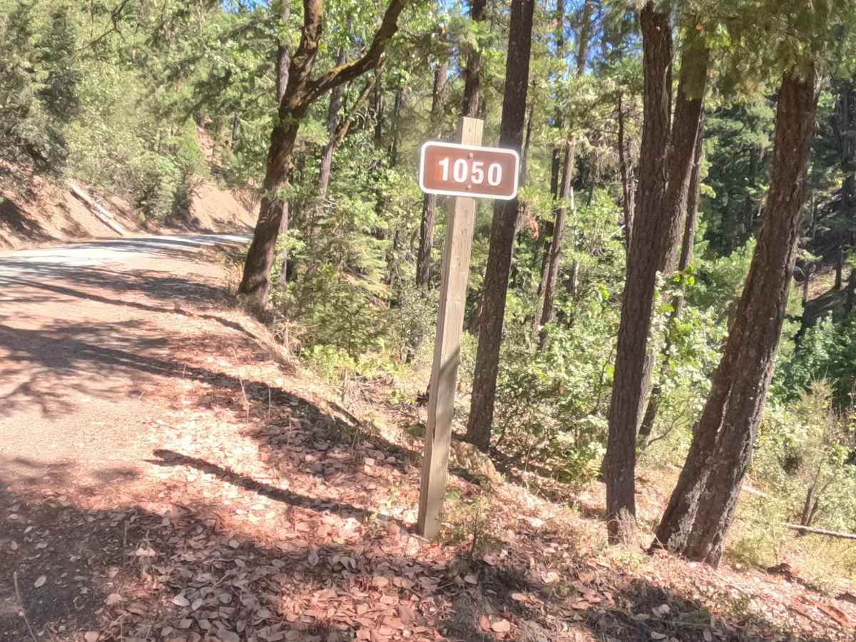
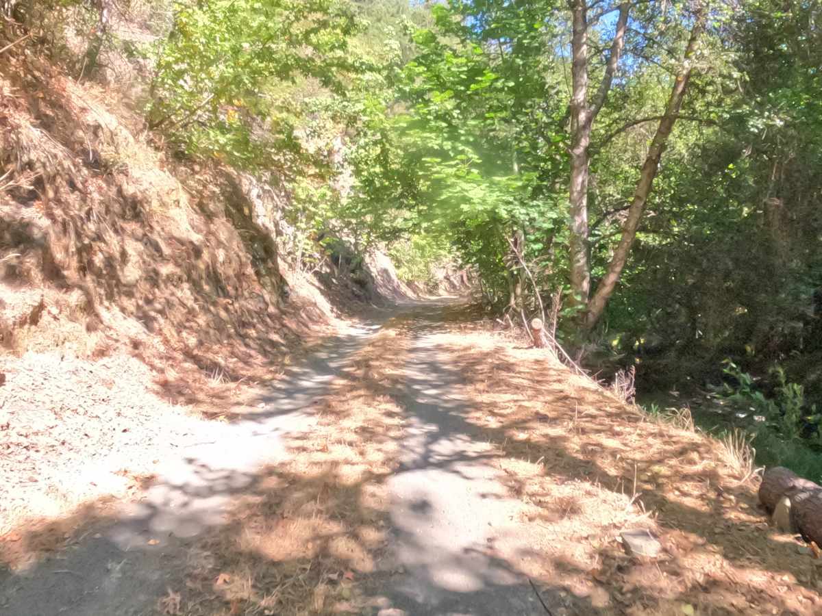
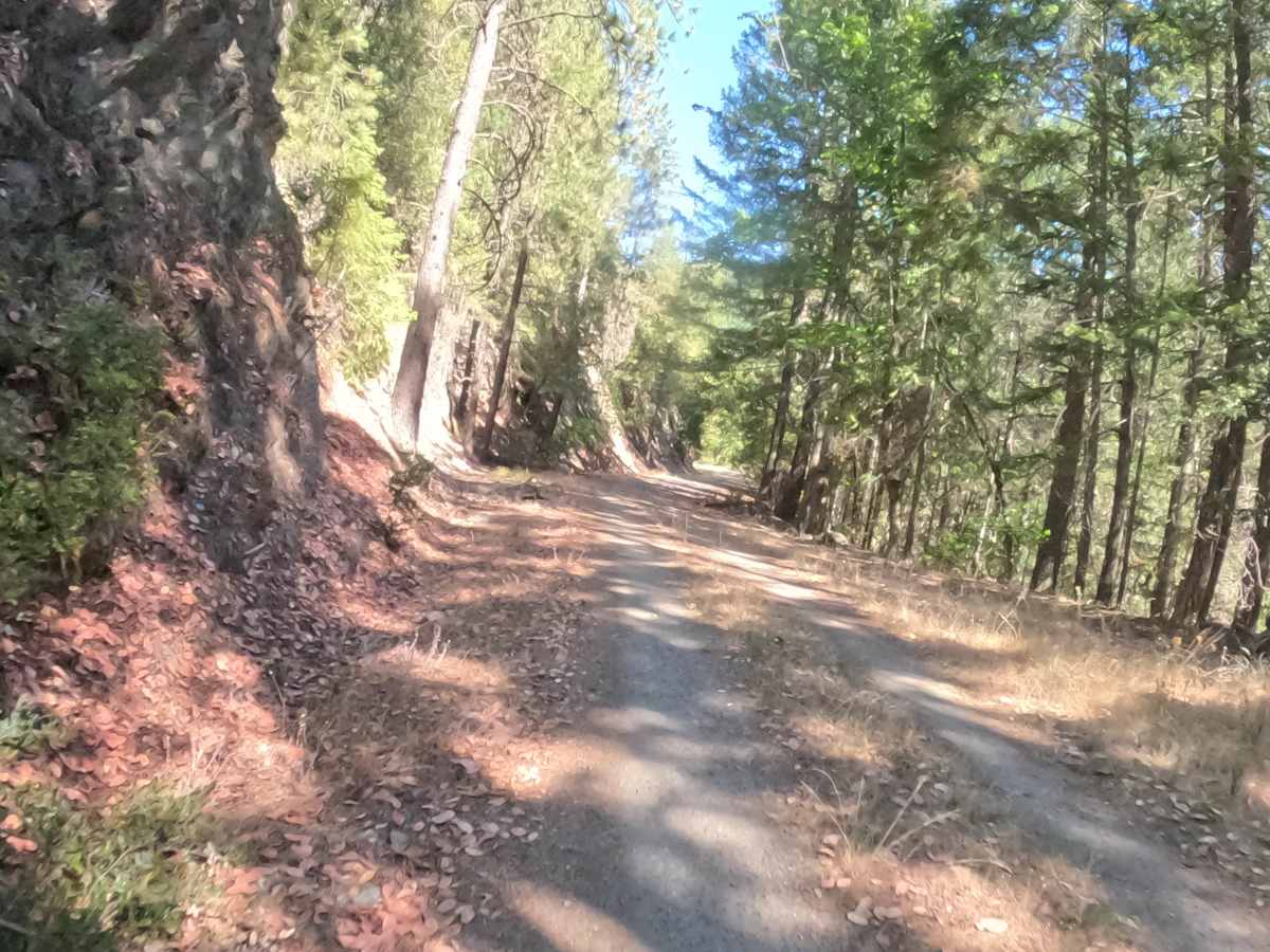
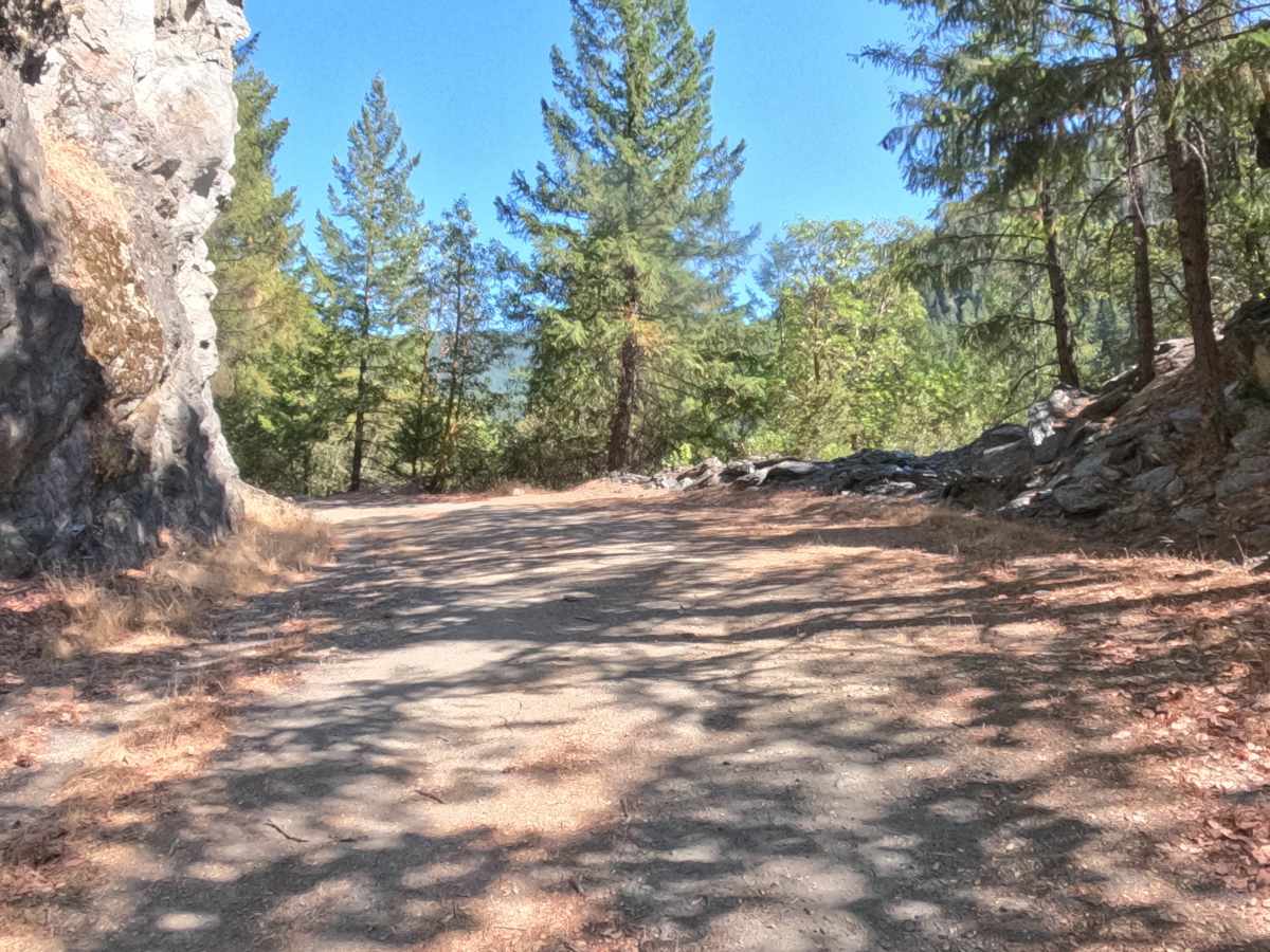
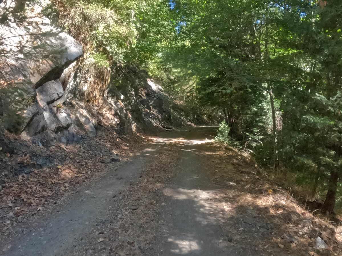
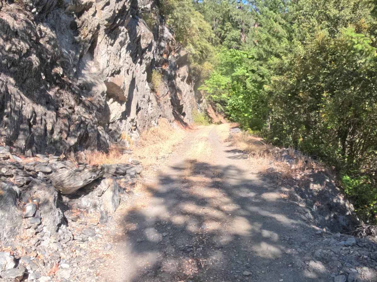
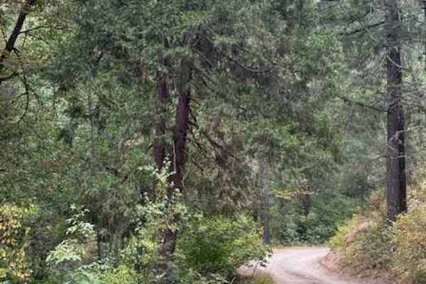
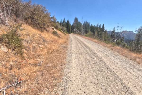
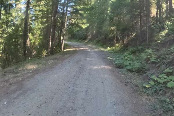
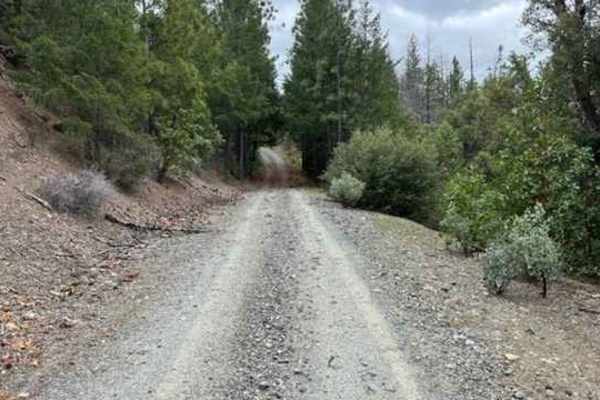
FS 1050000 follows Elliott Creek east from its junction with FS 1040000, starting as a wide, hard-packed gravel road that stays close to the water through mixed conifer and madrone forest. The first half is well maintained and sees regular traffic, with an easy, nearly level grade along the creek bottom. Farther along, the roadbed narrows and shows less upkeep as it climbs away from the creek and cuts across the side of the mountain, where steep, rocky cutbanks rise on one side, and the slope drops away on the other. Broken shale from the cutbanks gathers along the road edge in places, and the road winds past several striking rock outcrops that add real character to the drive. The climb steepens over the last few miles before the mapped route ends at about 11 miles, making this an out-and-back route. Best driven from summer through fall.
Difficulty
Rated 2. The road is graded gravel throughout, and the first half along Elliott Creek is smooth, wide, and nearly level. What raises it above a 1 is the second half, where the road narrows, maintenance drops off, and the route traces the mountainside with more exposure, a steadier climb, and loose shale gathered along the edges beneath the rocky cutbanks. It stays at a 2 because the photos show no steep pitches, rock obstacles across the travel lane, or technical sections, and the surface stays firm and predictable the whole way.

 Offroad