Flagpole Point - FS 7N11D

Total Miles0.7
Technical Rating
3Easy
Best TimeSummer, Spring, Fall
Trail TypeFull-Width Road
Accessible By
Open Trail Map

Trail Overview

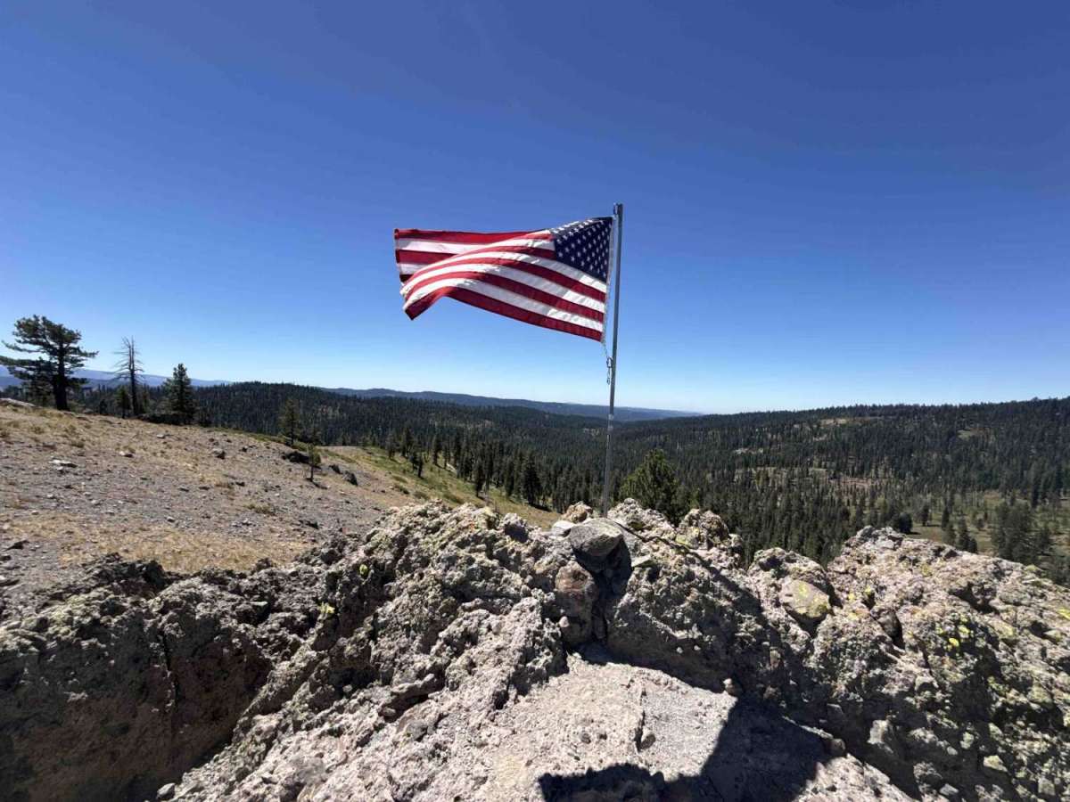
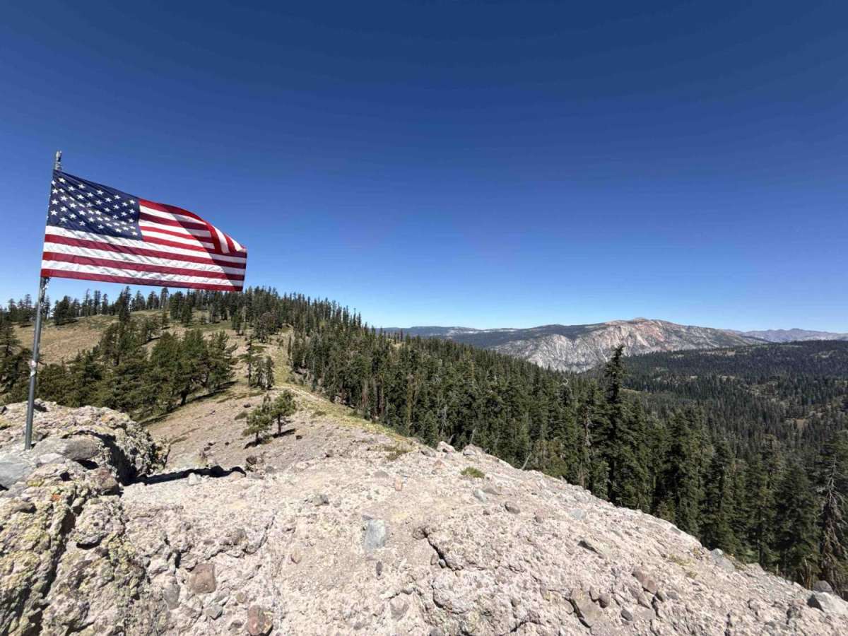
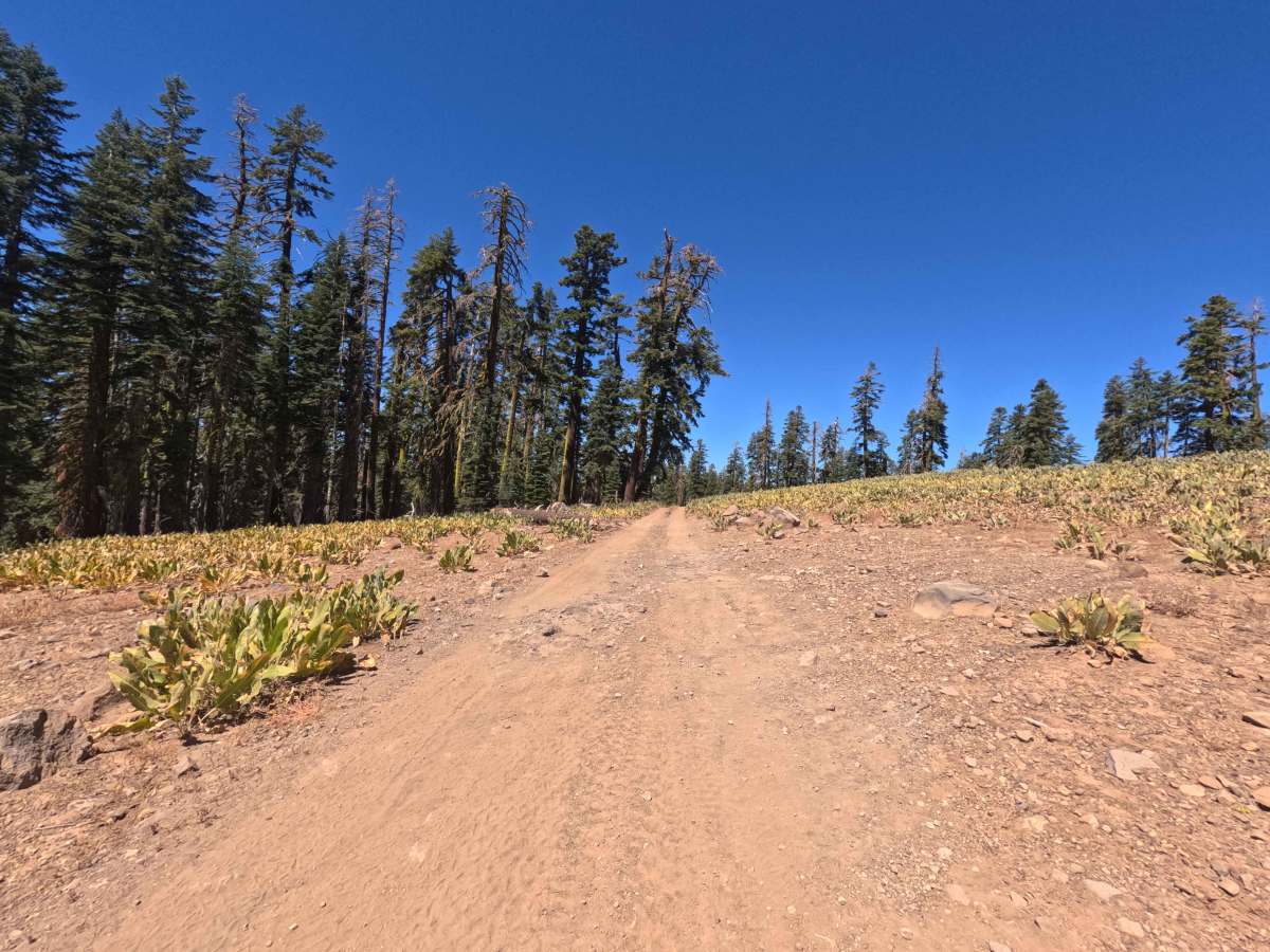
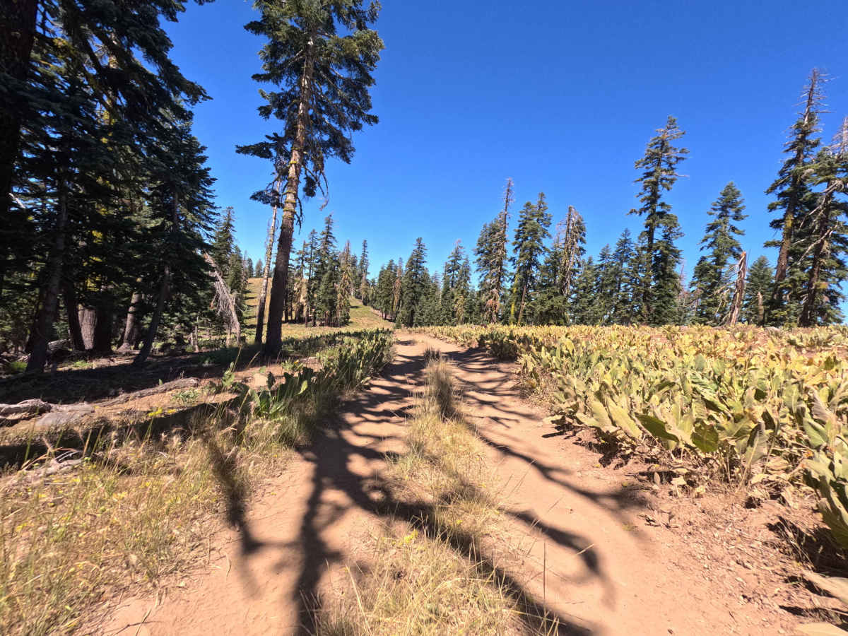
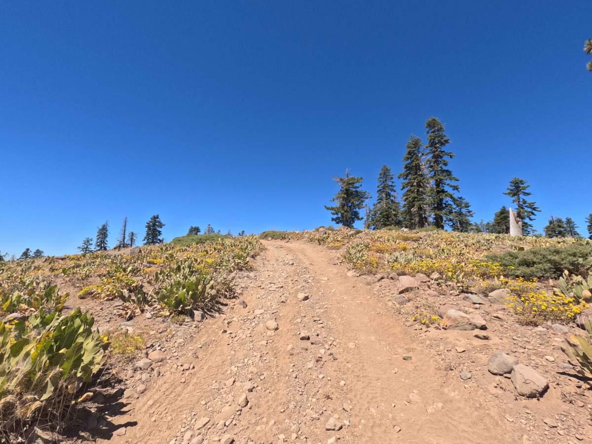
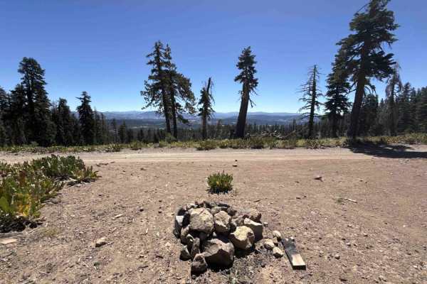
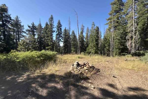
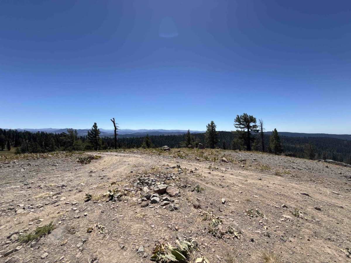
Branching off the main Corral Hollow corridor (Forest Road 7N11), Forest Service Road 7N11D is an out-and-back scenic spur that heads out to the high overlook at Flagpole Point in Stanislaus National Forest. The trail travels across open mountain hillsides covered in broad patches of mule ears and summer wildflowers, weaving past pockets of tall pines and firs. Outdoor enthusiasts take this short drive to reach Flagpole Point, an awesome viewpoint featuring a rocky peak and wide-open views of the surrounding valleys and distant ridgelines. The single-lane roadbed consists of packed native dirt, loose gravel, and scattered surface rocks. The track rolls along the ridge with mild climbs and dips before finishing at an open rocky turnaround where drivers can park and take in the panoramic scenery.

Photos of Flagpole Point - FS 7N11D

Difficulty

Rated a 3, this trail presents a narrow dirt road with uneven ground and loose rocky sections. Obstacles include small loose stones, mild dirt ruts, and light rocky climbs that require steady momentum to avoid spinning tires on the loose soil. Maintaining a slow, steady pace and choosing smooth lines around larger embedded rocks helps prevent underbody scrapes and keeps traction solid all the way to Flagpole point.

Technical Rating

3

Flagpole Point - FS 7N11D Trail can be accessed by the following ride types:

  • Single Track
  • 50 Inch
  • 60 Inch
  • High Clearance
  • Full Width

Flagpole Point - FS 7N11D Map

The onX Offroad Difference

onX Offroad combines trail photos, descriptions, difficulty ratings, width restrictions, seasonality, and more in a user-friendly interface. Available on all devices, with offline access and full compatibility with CarPlay and Android Auto. Discover what you're missing today!

Open Trail Map