Fir Cap Trail - North Segment - 10E22

Total Miles1.4
Technical Rating
3Easy
Best TimeSummer, Fall
Trail Type50" Trail
Accessible By
Open Trail Map

Trail Overview

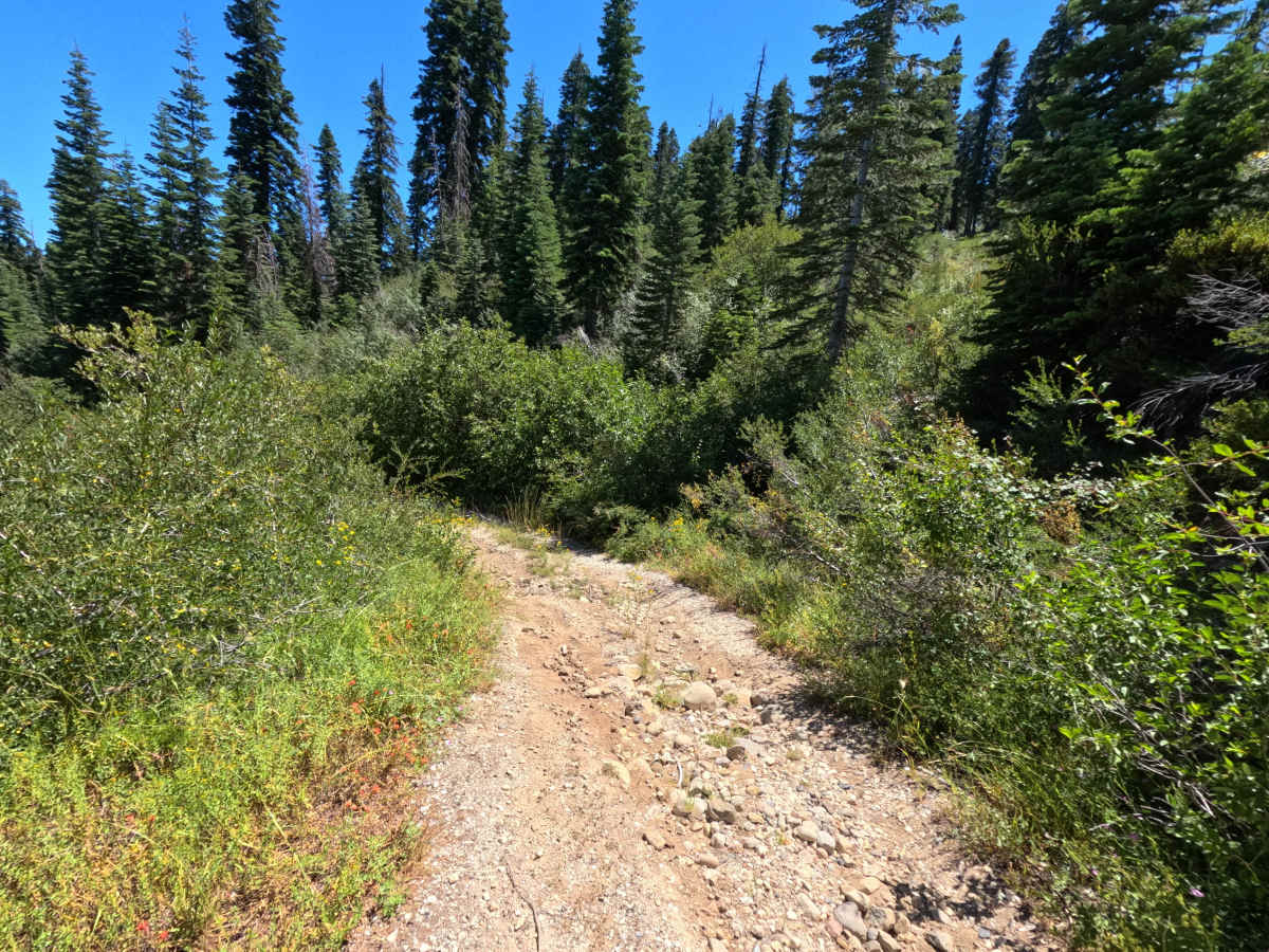
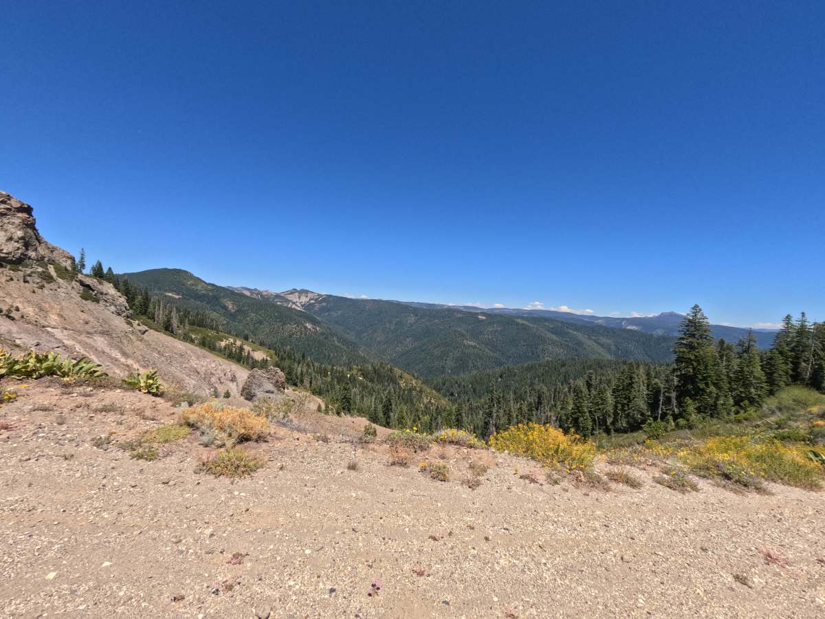
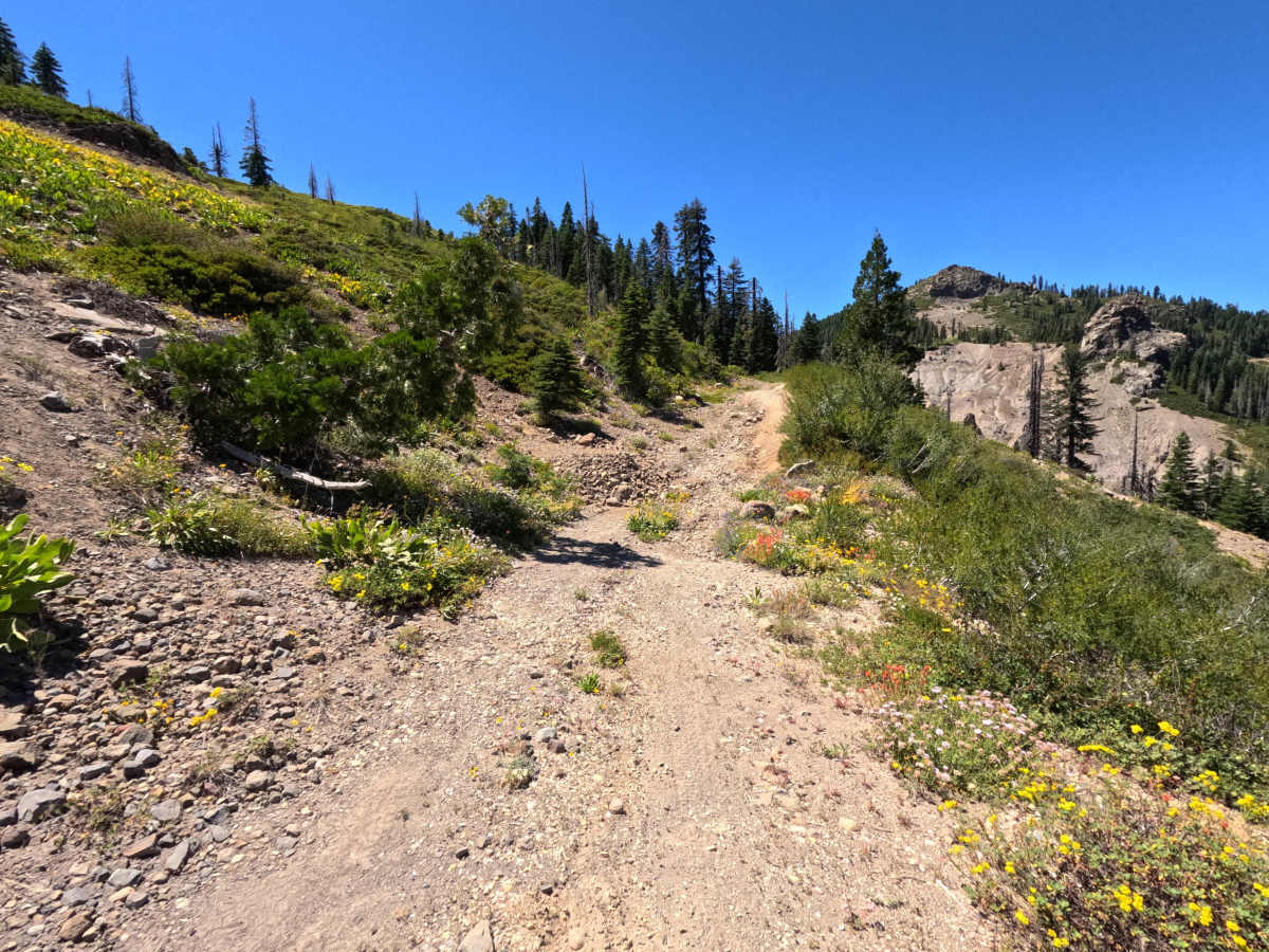
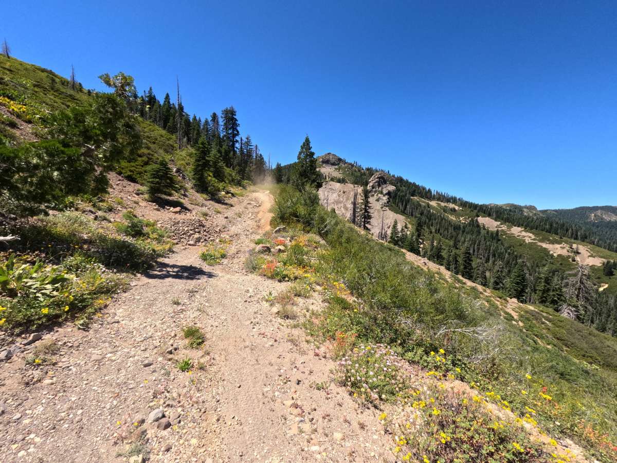
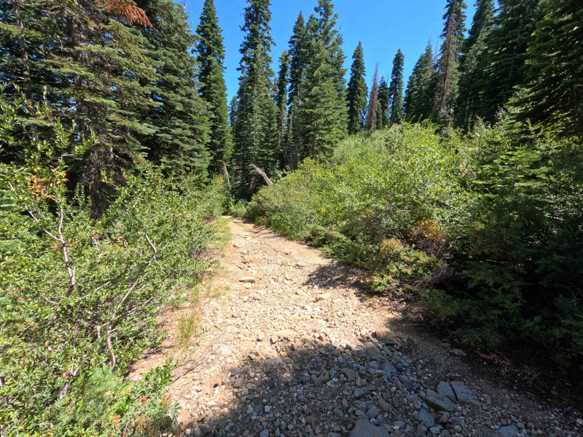
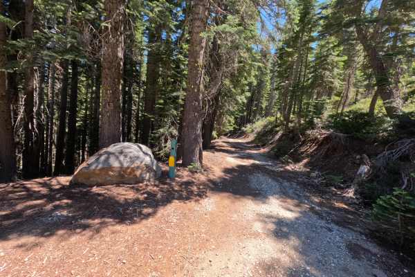
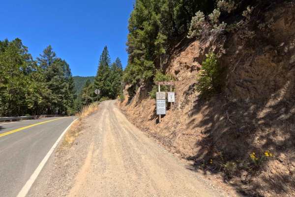
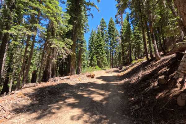
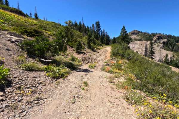
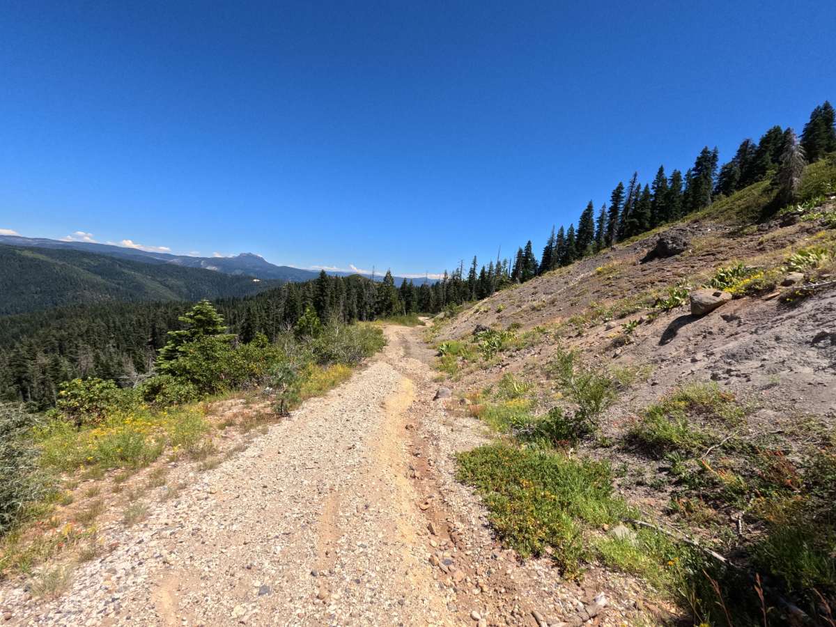
Fir Cap Trail - North Segment - FS 10E22 is the northern half of a connector route, accessed via Saddleback Road. The route begins with a slight descent into an area that resembles an old mining site, though no structural signs of a mine remain. From there, the trail climbs over Fir Top Mountain. Along the way, there is ample space to pull off for a group before reaching an incredible camping spot at the summit that overlooks the valley. The trail has seen recent maintenance, with significant amounts of deadfall cut and cleared out of the way, revealing beautiful panoramic views once you reach the top. Note that signage at the start of the trail indicates it is only open to quads and dirt bikes due to how narrow the trail gets, though a car could potentially make it through the initial section. At the end of this segment, the trail reaches a gate that is no longer in use.

Photos of Fir Cap Trail - North Segment - 10E22

Difficulty

While parts of the trail could be considered a 3, the route earns a solid 4 due to significantly steep climbs and descents filled with loose rocks. Portions of the trail are washed out and feature loose rocks reaching up to 18 inches in diameter, alongside ruts that are up to 18 inches deep.

Technical Rating

3

Fir Cap Trail - North Segment - 10E22 Trail can be accessed by the following ride types:

  • Single Track
  • 50 Inch

Fir Cap Trail - North Segment - 10E22 Map

The onX Offroad Difference

onX Offroad combines trail photos, descriptions, difficulty ratings, width restrictions, seasonality, and more in a user-friendly interface. Available on all devices, with offline access and full compatibility with CarPlay and Android Auto. Discover what you're missing today!

Open Trail Map