Trail Overview
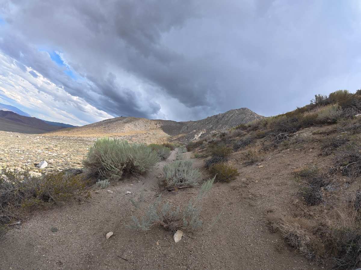
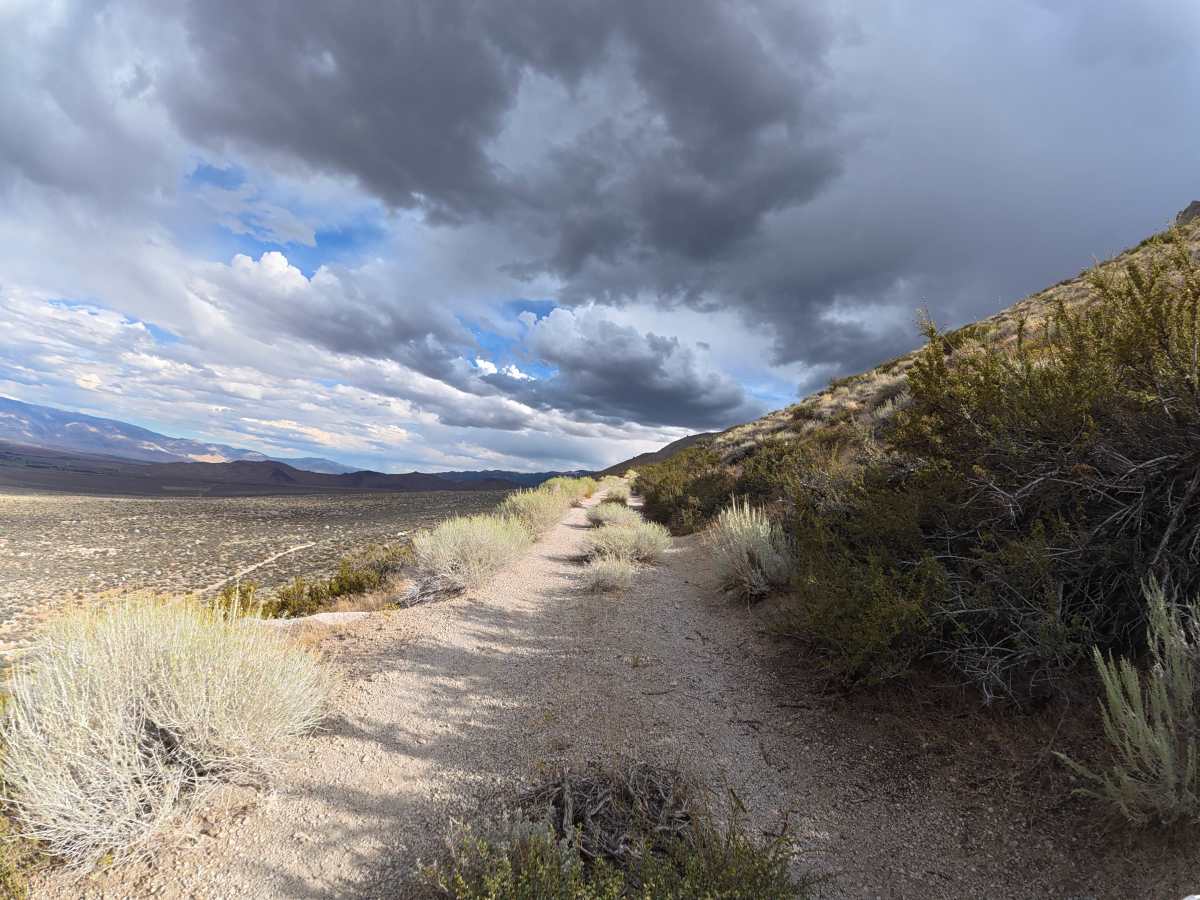
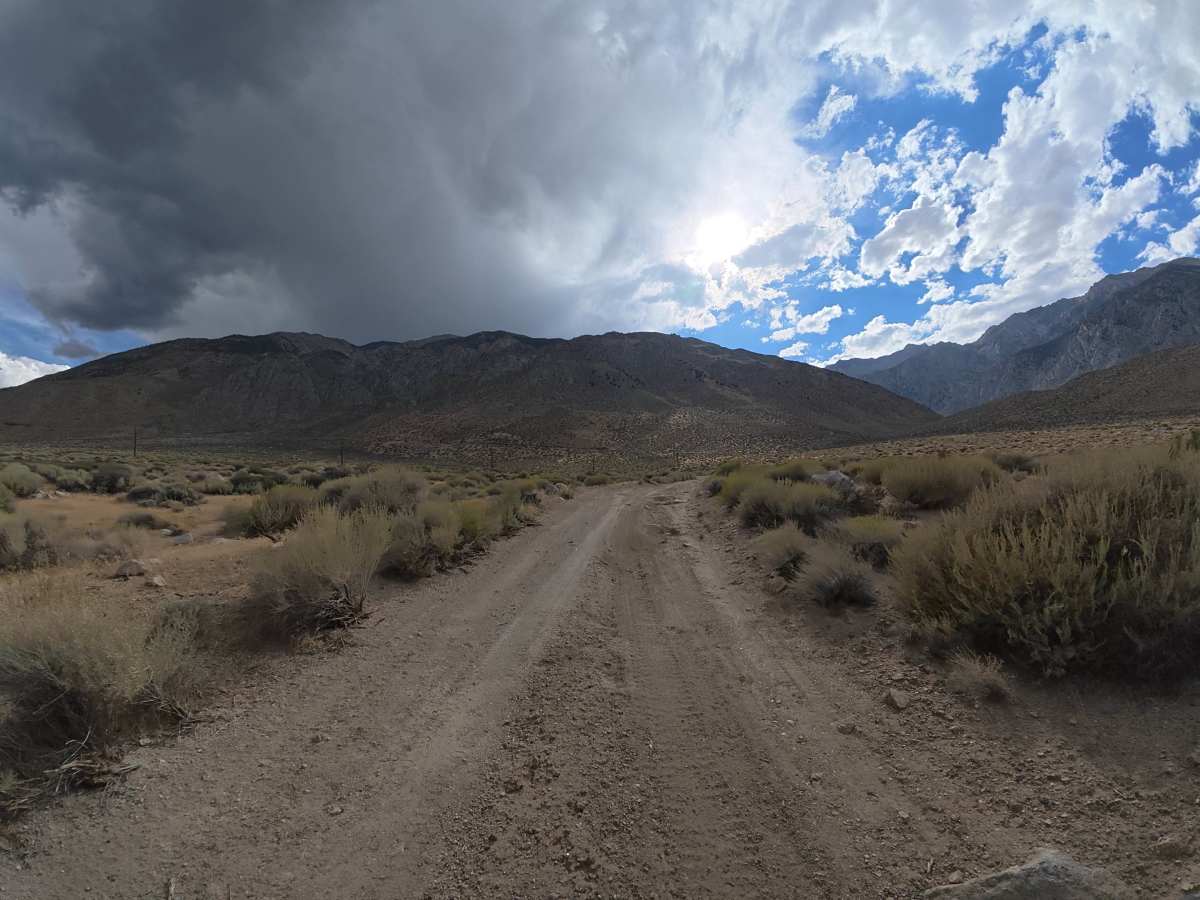
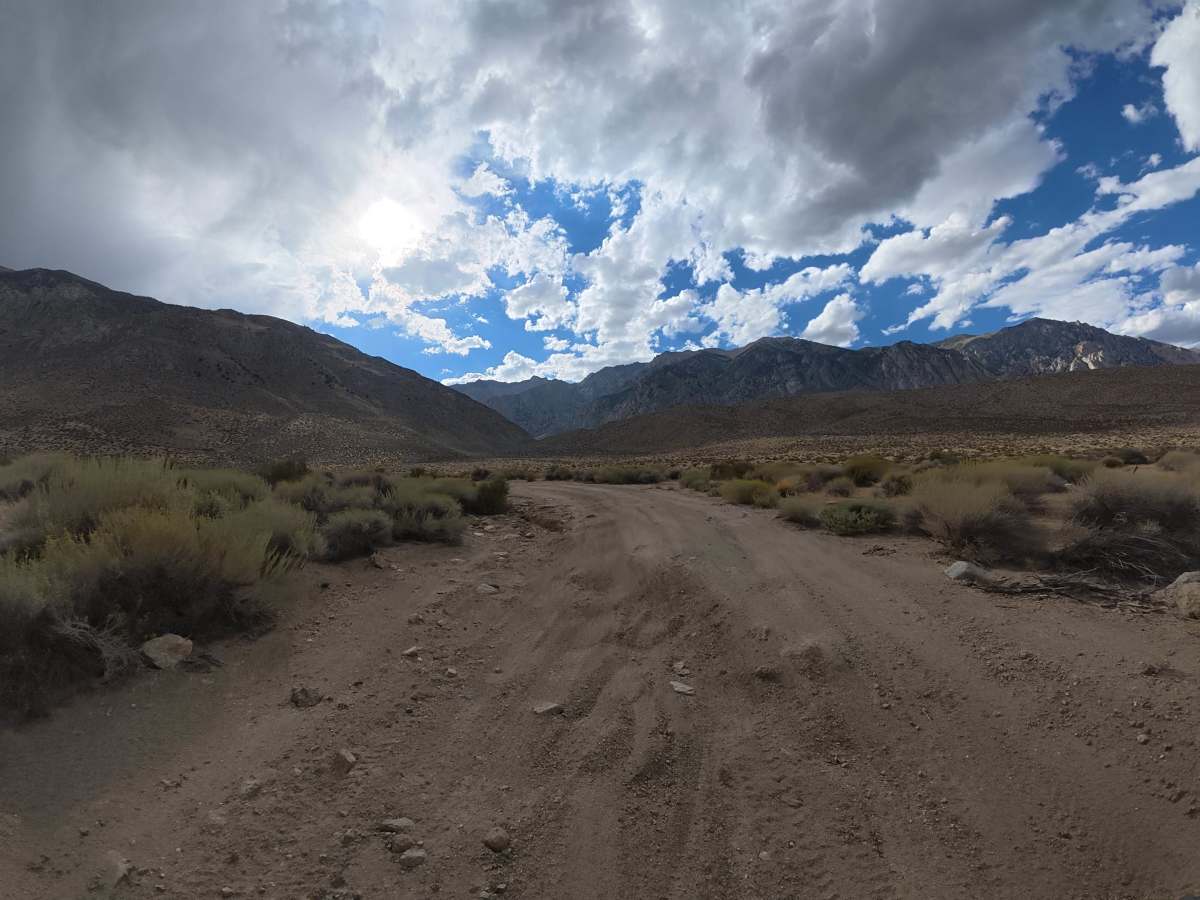
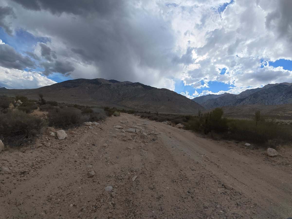
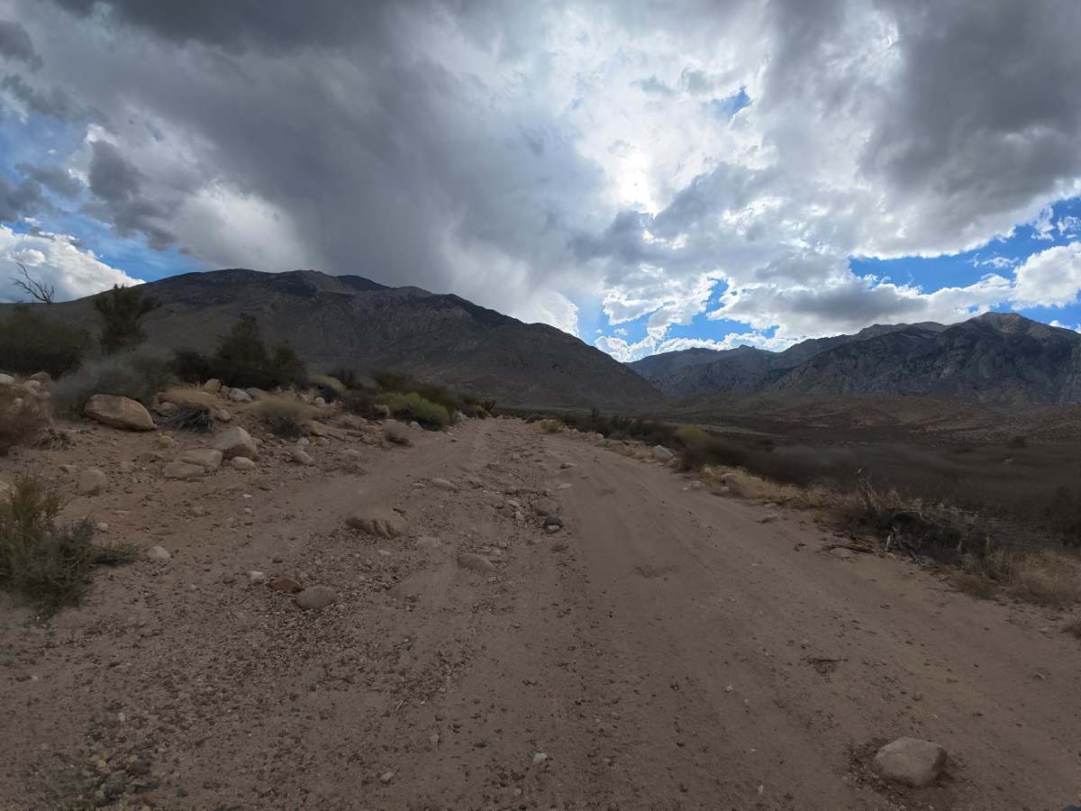
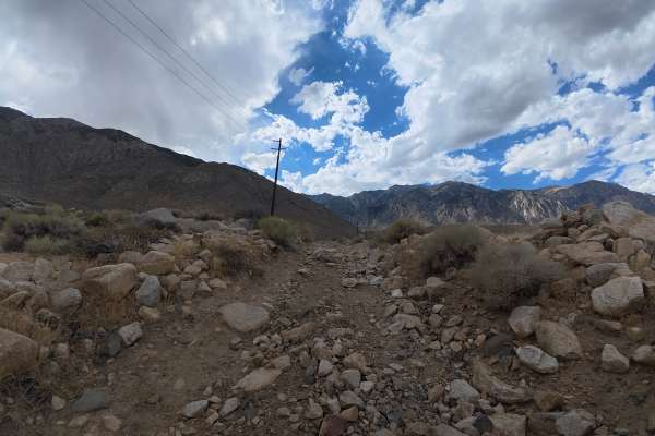
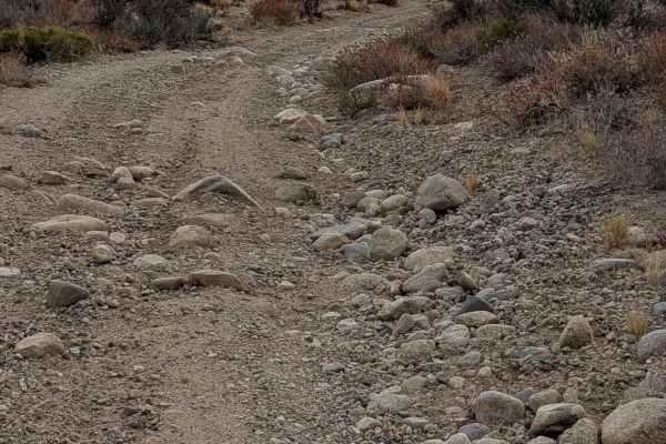
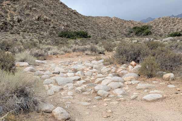
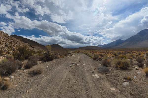
This scenic trail begins off Vanadium Ranch Road with a short section of old, unmaintained pavement before transitioning to rough dirt and sand. Expect long rock gardens with 5–8 inch rocks, 12–14 inch ruts, and rock ledges reaching 10–14 inches tall. Sections also reach 10° off-camber. Around 1.9 miles, heavy overgrowth makes the trail significantly narrower, with unavoidable pinstriping. Multiple tight switchbacks make the route unsuitable for trailers. The trail ends at Elderberry Drainage Trailhead, with parking for three vehicles and access to hiking and horseback riding.
Difficulty
This trail is rated Level 3 because of the 12–14 inch ruts, 10–14 inch rock ledges, long rock gardens with 5–8-inch rocks, and sections reaching 10° off-camber. Pinstriping is unavoidable due to heavy overgrowth, and the route is not trailer-friendly.
History
The Elderberry Canyon area lies within the rugged Eastern Sierra, shaped by uplift, erosion, and ancient glacial and volcanic activity that created the steep canyons, rocky slopes, and dramatic mountain scenery seen today. The greater Bishop and Owens Valley region is also the ancestral homeland of the Nüümü (Owens Valley Paiute) and Newe (Western Shoshone) peoples, who have lived throughout the region for generations, relying on its springs, plants, wildlife, and seasonal mountain resources.