Trail Overview
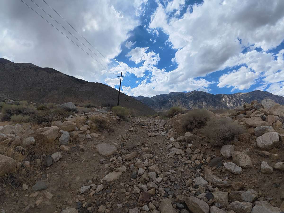
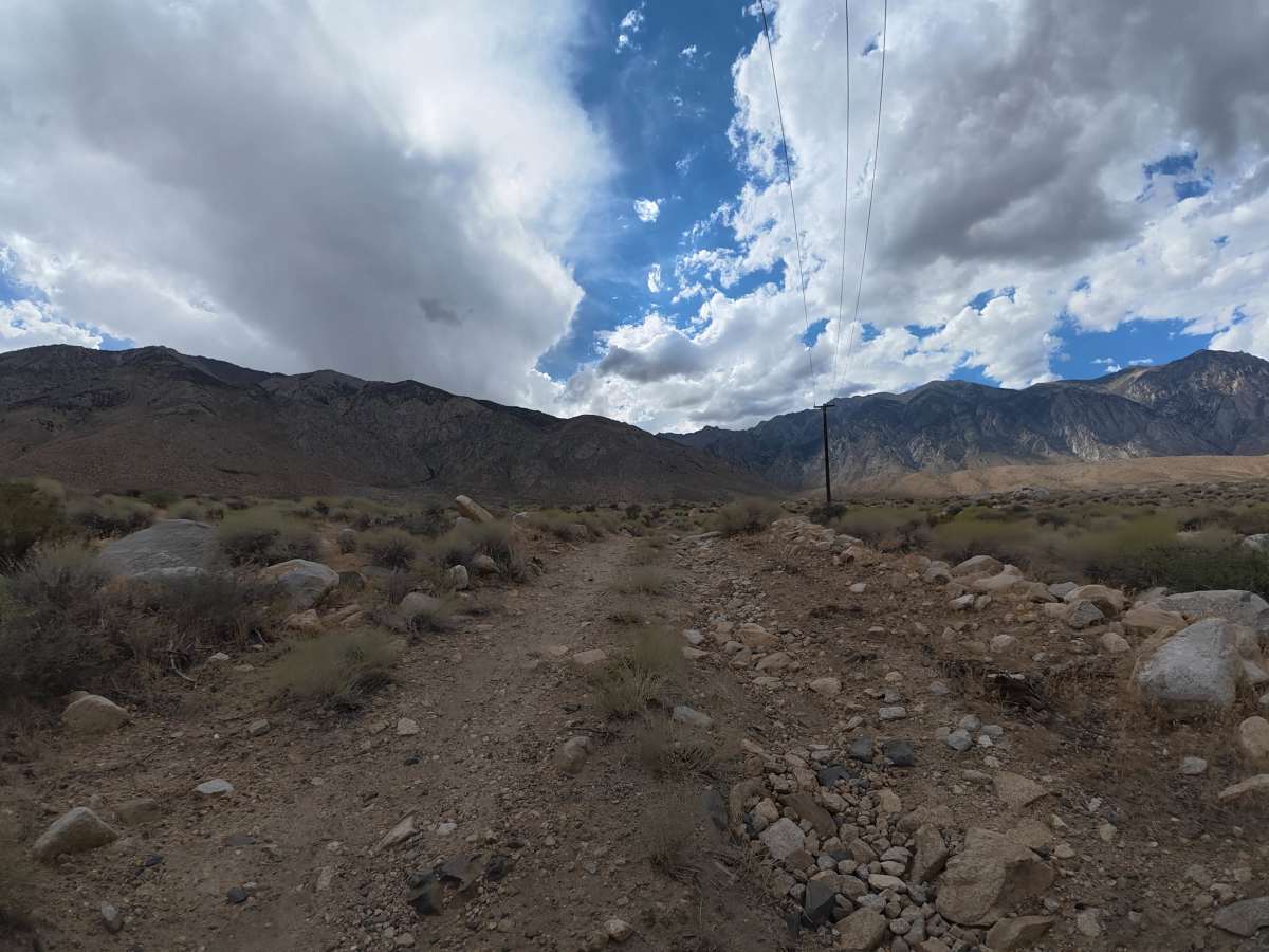
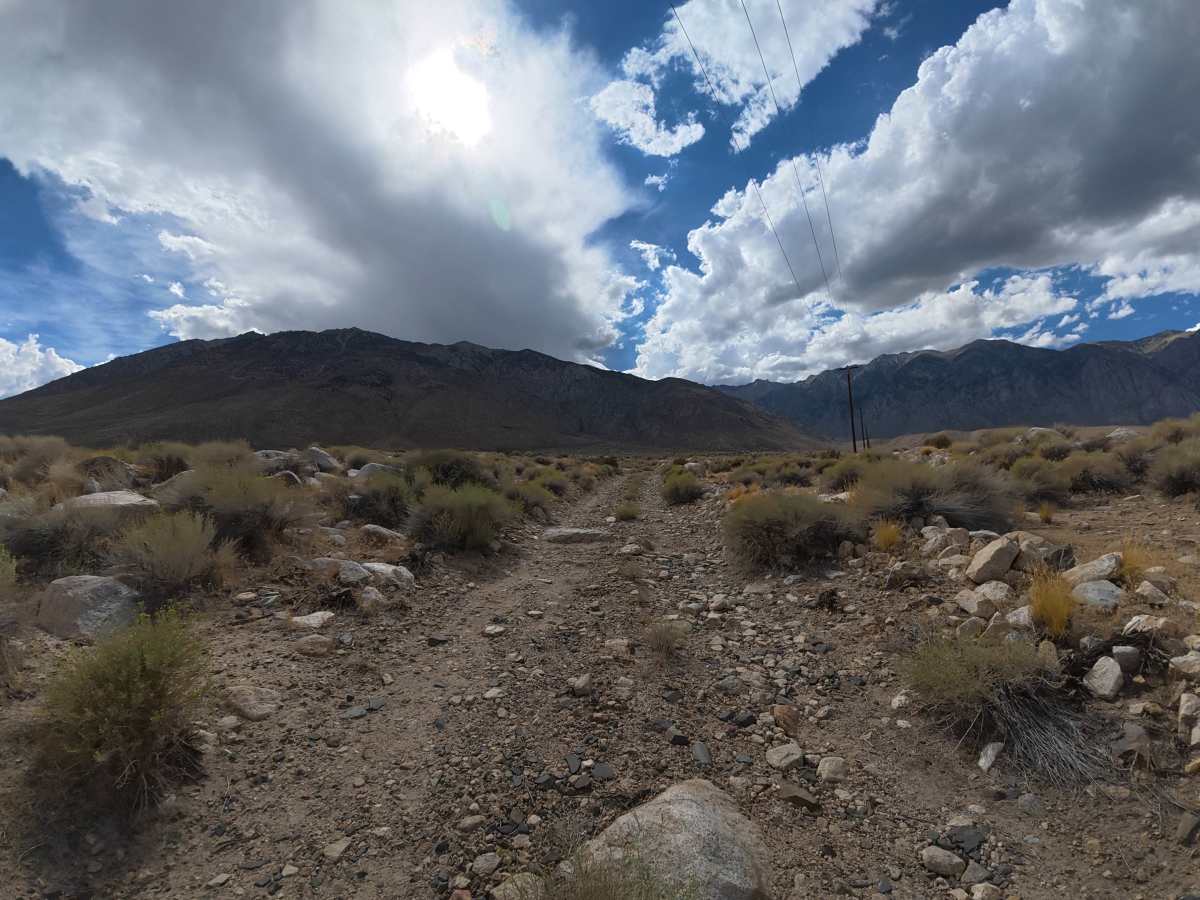
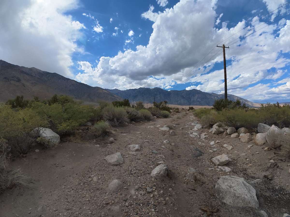
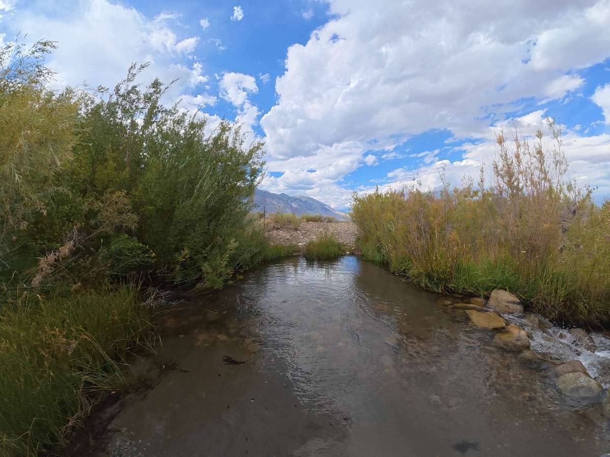
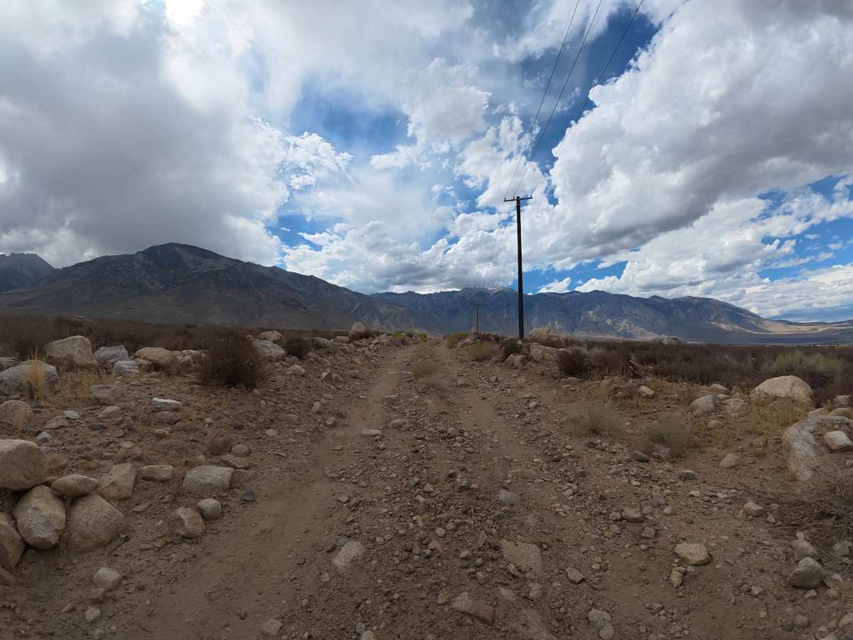
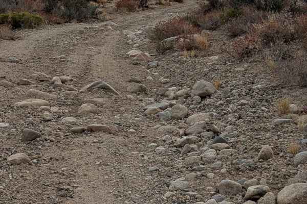
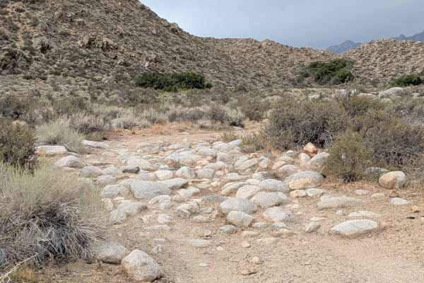
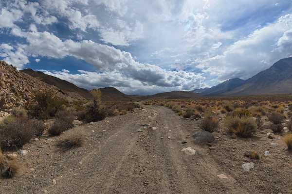
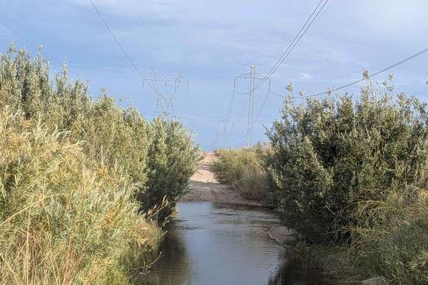
This narrow, sandy trail travels west toward Elderberry Trailhead with excellent views of the surrounding mountain range. Expect continuous rock gardens with 2–6-inch rocks, an 8-inch water crossing around 0.7 miles, and a second 2–3-inch crossing around 0.9 miles. Beyond the crossings are more than 50 designated paid campsites with restrooms, fire pits, tables, and level areas suitable for RVs, campers, and trucks. Around 2 miles, the terrain becomes significantly rockier with continuous rock gardens and ledges ranging from 8–14 inches, making progress slow despite the lack of any single major obstacle.
Difficulty
This trail is rated Level 3 because of the continuous rock gardens, 8–14 inch rocks and ledges, and water crossings reaching 8 inches deep. The route is extremely rocky and rough, requiring careful tire placement and slower speeds for long stretches.
History
The Elderberry Canyon area lies within the rugged Eastern Sierra, shaped by uplift, erosion, and ancient glacial and volcanic activity that created the steep canyons, rocky slopes, and dramatic mountain scenery seen today. The greater Bishop and Owens Valley region is also the ancestral homeland of the Nüümü (Owens Valley Paiute) and Newe (Western Shoshone) peoples, who have lived throughout the region for generations, relying on its springs, plants, wildlife, and seasonal mountain resources.