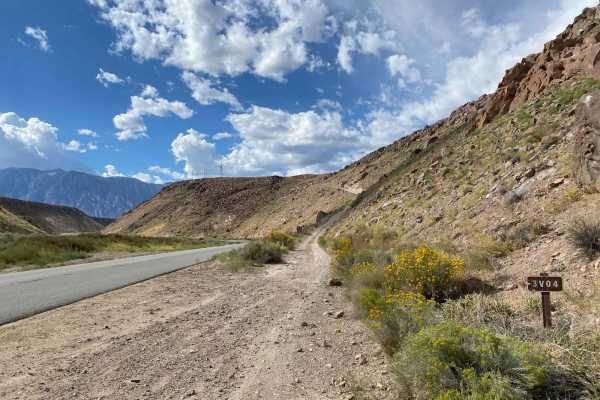
Trail Overview
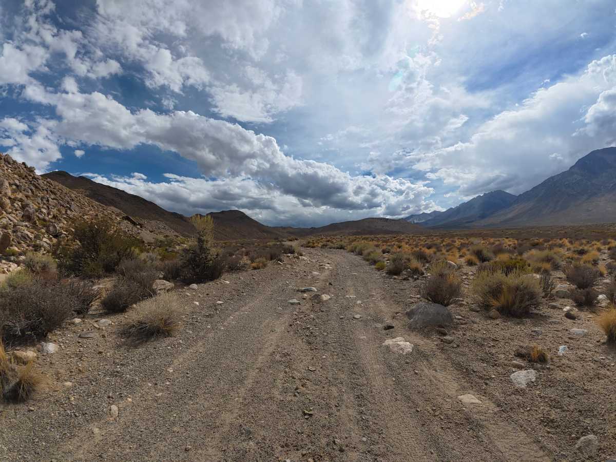
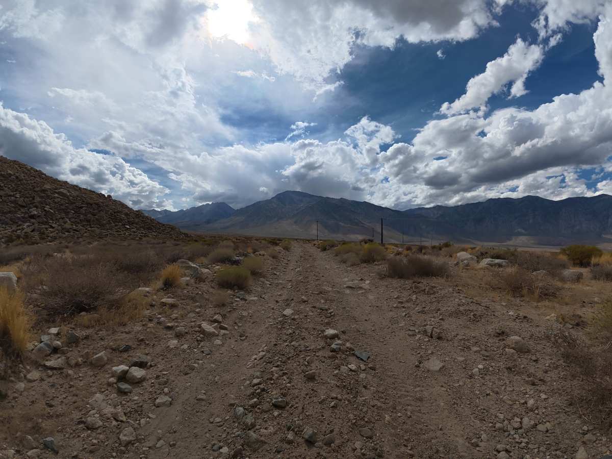
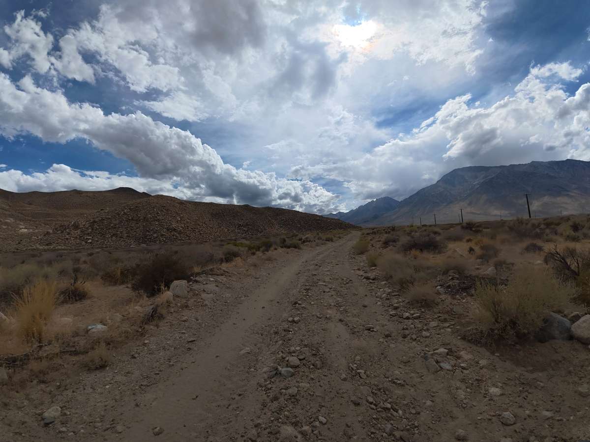
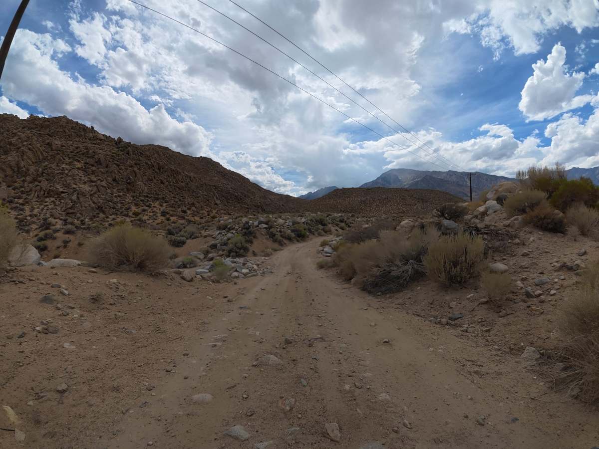
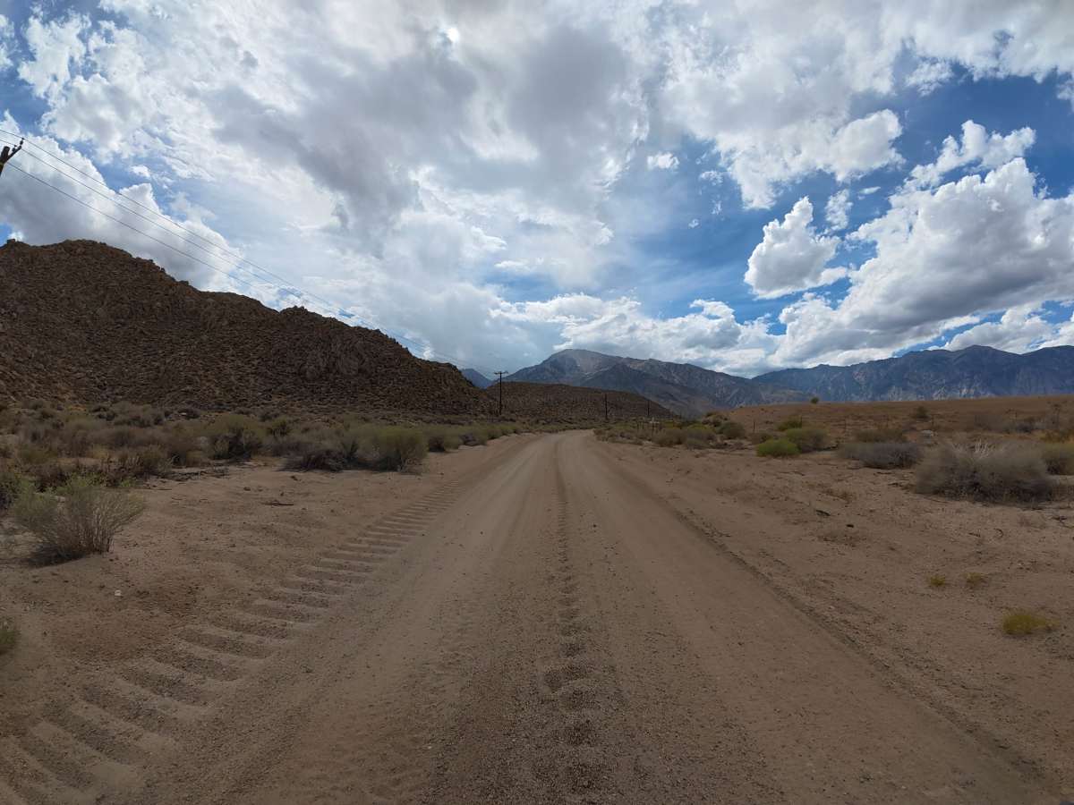
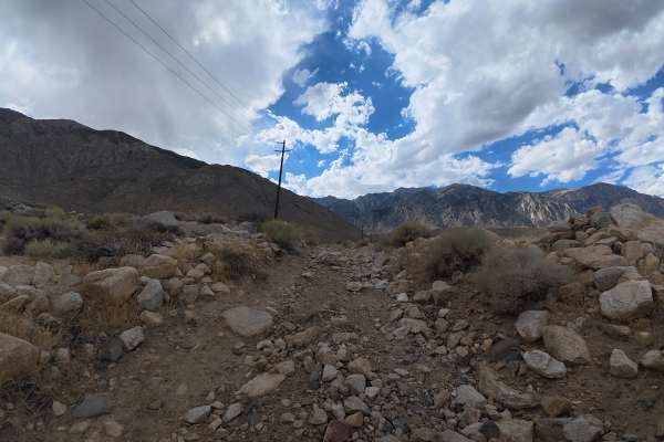
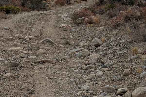
This sandy trail begins directly off the highway and travels toward Tungsten Hills, with excellent views of Mount Gabb, Mount Morgan, and the surrounding mountains. Expect frequent whoops and 6–8-inch ruts in soft sand, where airing down can significantly improve traction. Around 1.2 miles, minor rock gardens appear with scattered 2–4 inch rocks. At the end, you can park and walk to the inactive Western Mine. Use caution while exploring, as rusted metal is scattered around the area.
Difficulty
This trail is rated Level 2 because of the soft sand, frequent whoops, 6–8-inch ruts, and minor rock gardens with 2–4 inch rocks. Most vehicles should be able to complete the route when conditions are dry, although airing down is recommended in the softer sand.
History
The Elderberry Canyon area lies within the rugged Eastern Sierra, shaped by uplift, erosion, and ancient glacial and volcanic activity that created the steep canyons, rocky slopes, and dramatic mountain scenery seen today. The greater Bishop and Owens Valley region is also the ancestral homeland of the Nüümü (Owens Valley Paiute) and Newe (Western Shoshone) peoples, who have lived throughout the region for generations, relying on its springs, plants, wildlife, and seasonal mountain resources.