Trail Overview
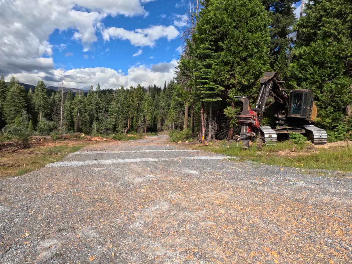
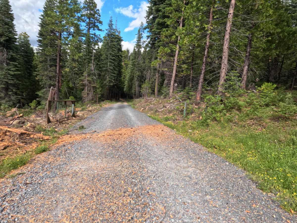
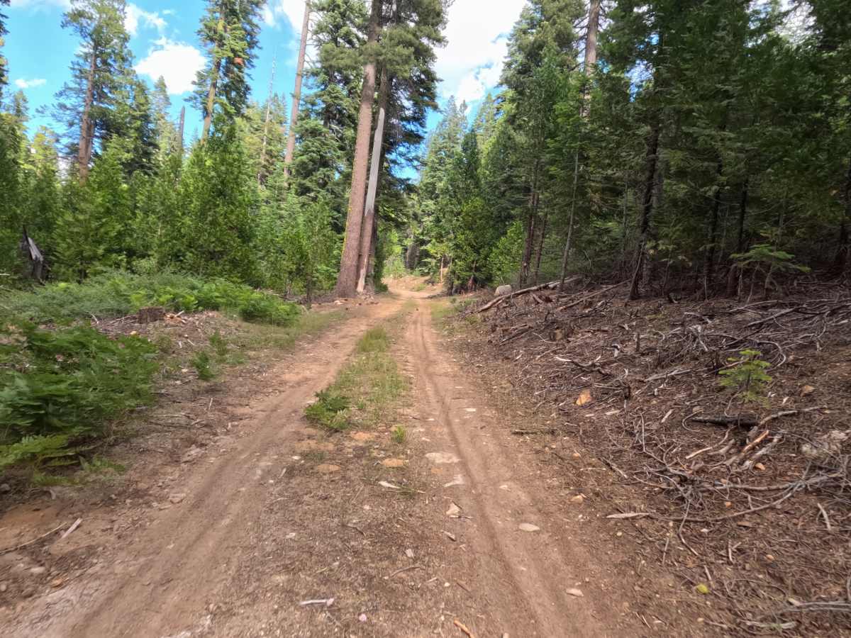
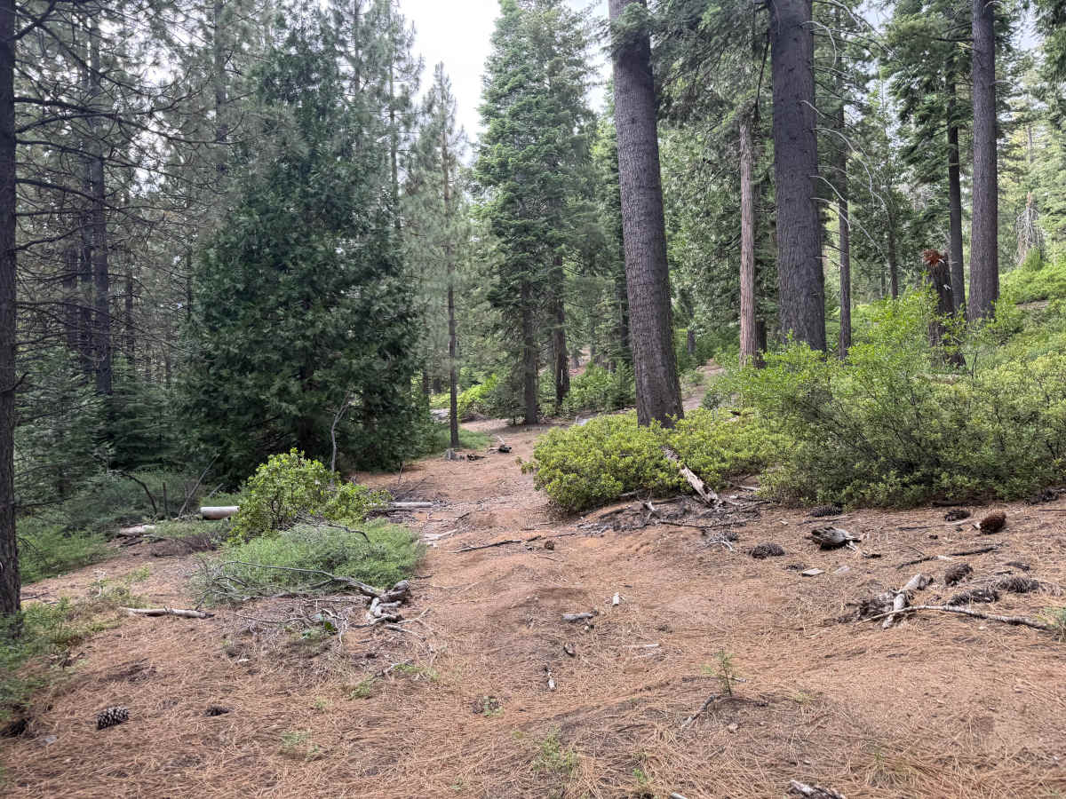
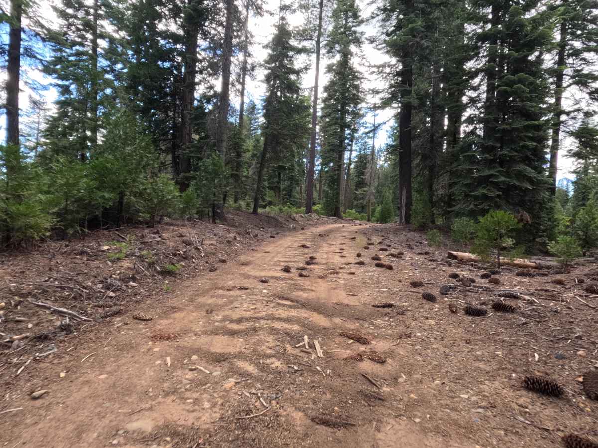
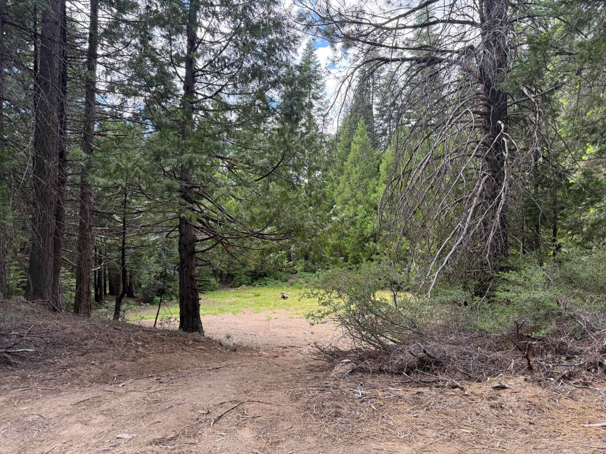
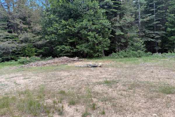
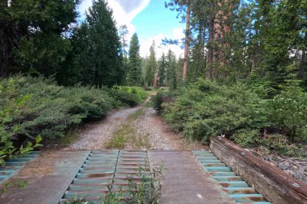
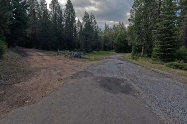
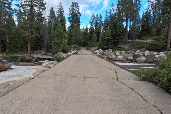
Driscoll Cabin Rd - FS 12N40 is a 2.8-mile trail that begins with very recent logging activity, passing through Sierra Pacific Industries (SPI) land with heavy equipment staged near the parking area. The route initially features a gravel road leading up to and through a gate, then transitions to hard-packed dirt with embedded rocks. It is a single-lane road with some wider sections for passing. As you travel deeper, it will become rockier, though it is not particularly overgrown. There are a few significant clearance checks along the way, and you will encounter two large water bars and a wider road dip after leaving the main road. You'll reach another water bar before the fork to East Driscoll, and one more steep bump just before reaching the first large campsite. At the fork to the East Driscoll spur, there is a potential campsite; stay left over a couple of large water bars that require high clearance and decent momentum. Just into the trees sits a large dispersed campsite. Continuing toward the back, the road narrows and gets rougher, ultimately dead-ending. There is a large turnaround here. If you walk about 100 feet further into the trees, you will find a large clearing that serves as a great walk-in campsite; previous vehicle access to this spot is now overgrown and blocked by a downed tree and debris. This trail is primarily used by campers.
Difficulty
The trail is officially rated a Level 2, but the presence of several large water bars and steep bumps essentially demands a Level 3 rating for clearance in specific spots. A bold driver in an AWD crossover might make it, but a high-clearance 4x4 is strongly recommended so you don't have to worry about scraping underneath on the uphill climbs.