Trail Overview
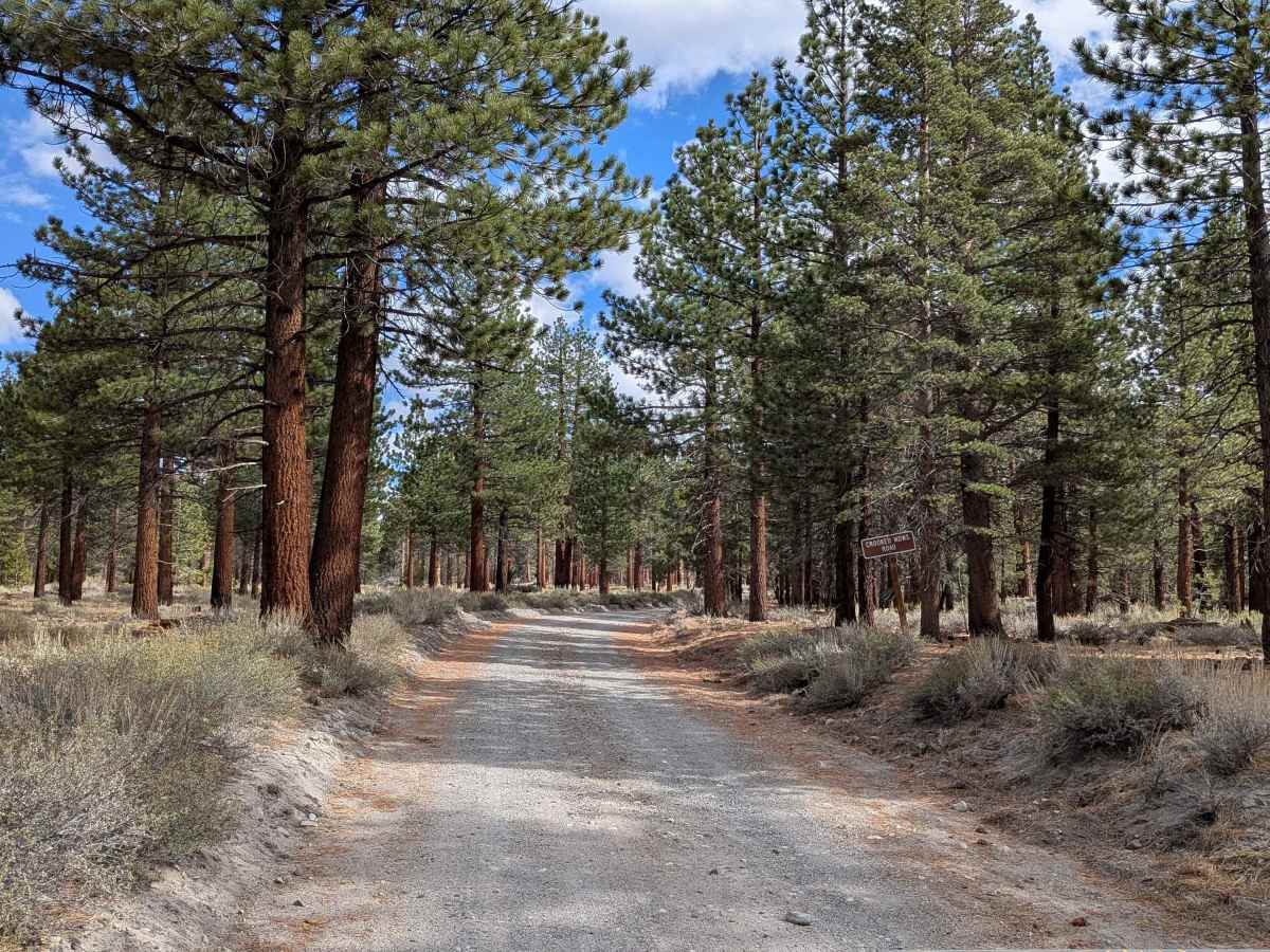
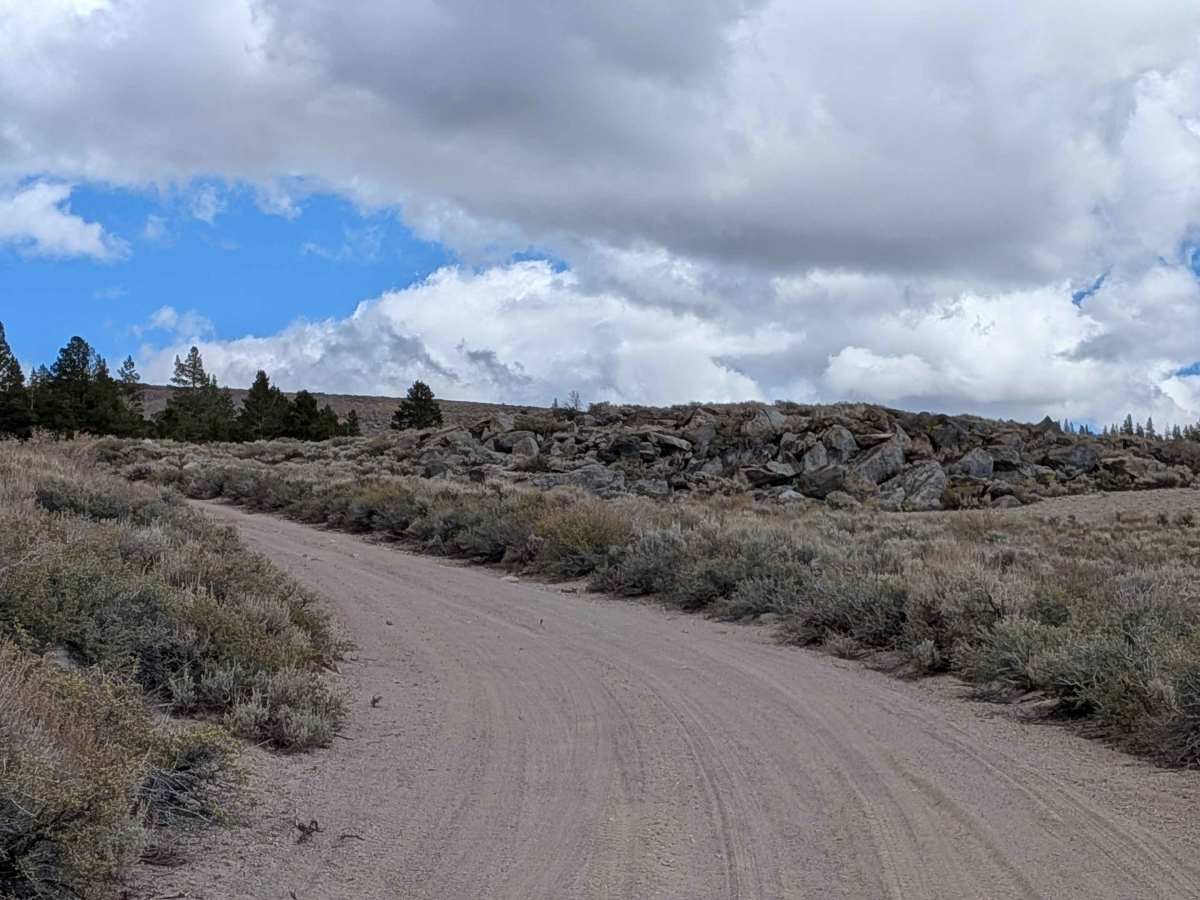
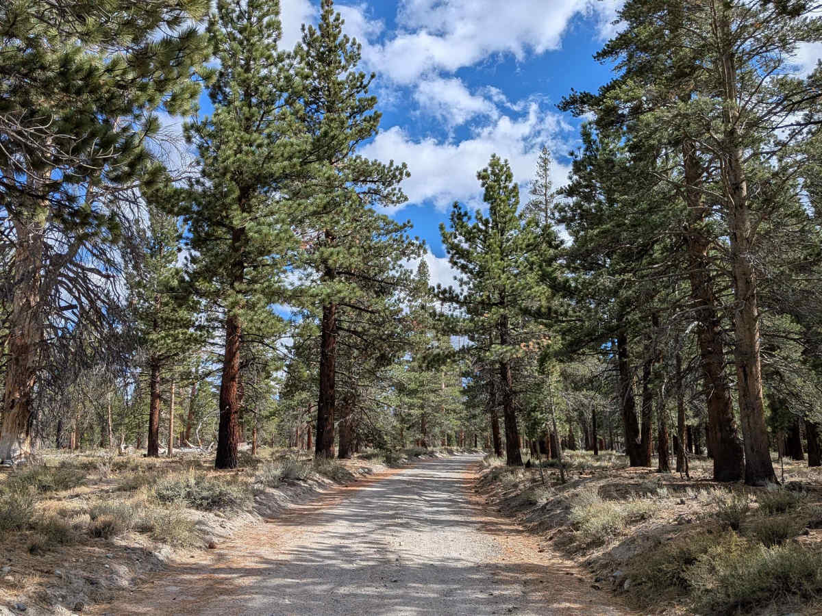
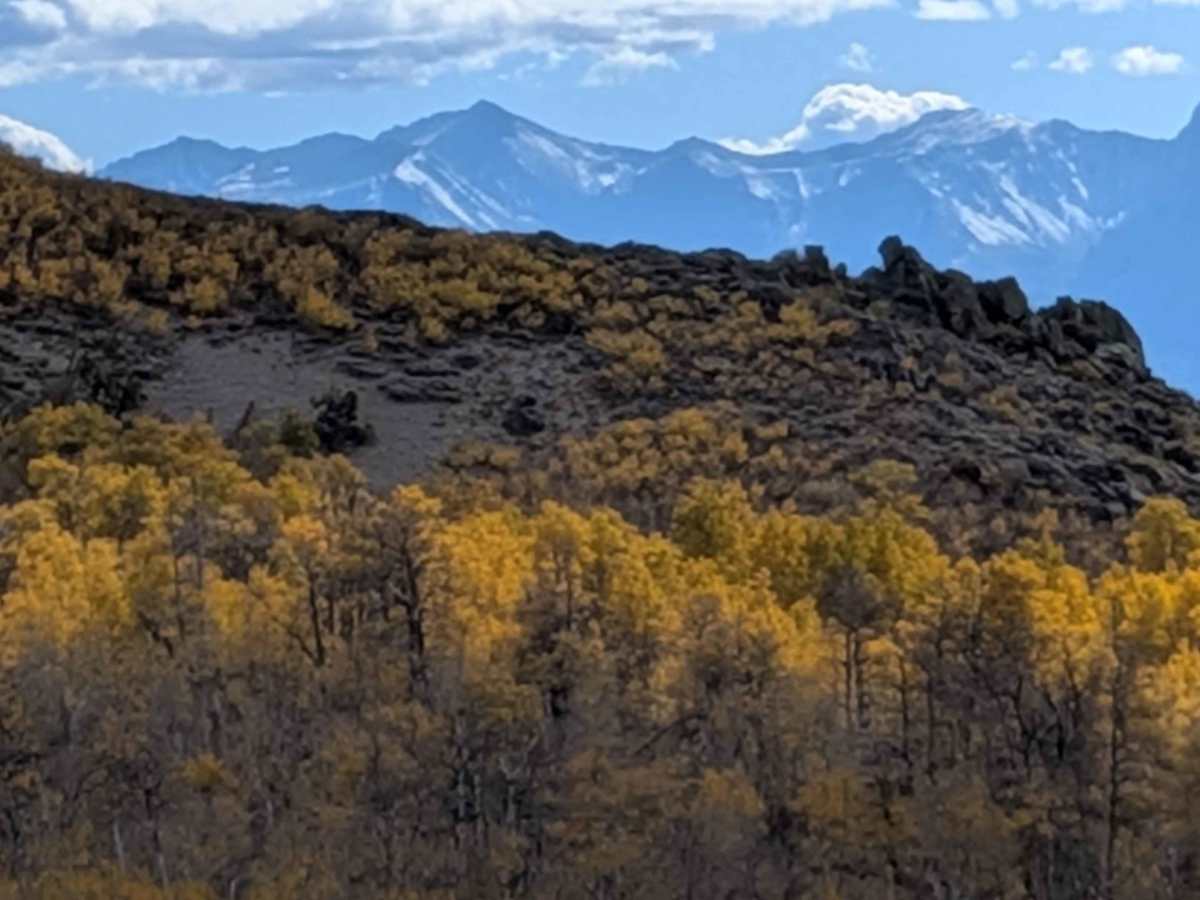
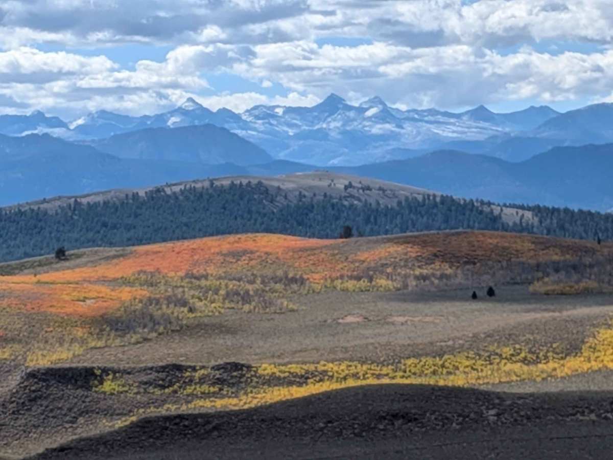
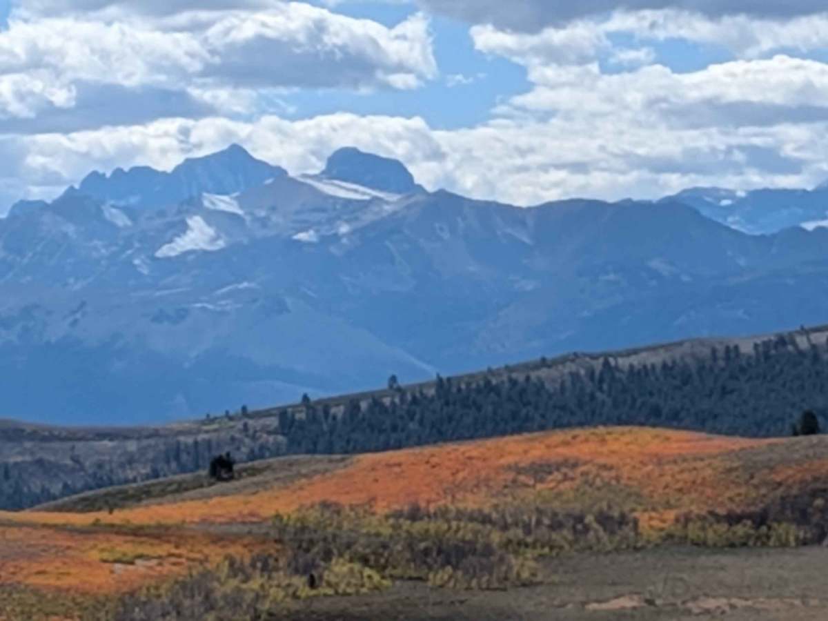
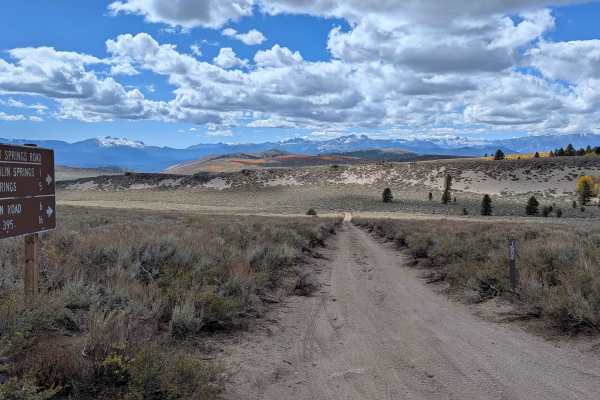
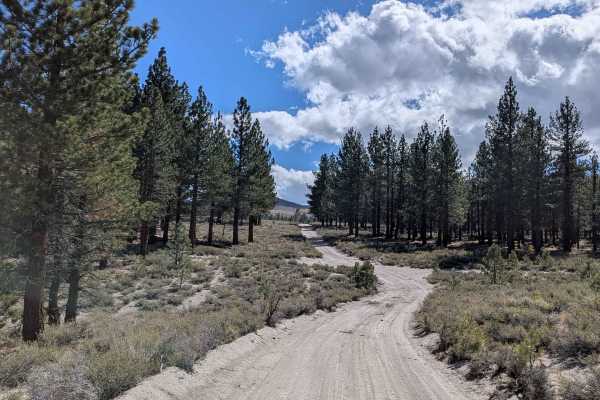
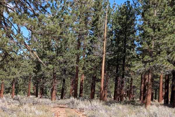
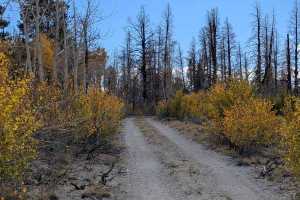
Crooked Meadow West is a scenic forest route that connects Pilot Springs Road to Crooked Meadow Road East, stretching just over five miles through a mix of pine forest and open meadow. The trail begins among tall pines before opening into the wide and beautiful Crooked Meadows area about two miles in. This section offers a peaceful drive with views of the surrounding forest and the vast meadow that gives the trail its name. As you continue north, the route gradually climbs and ends with stunning views of the Eastern Sierra mountains, including the Minarets, Mount Ritter, and Mammoth Mountain. The trail’s natural setting and mild grades make it a relaxing drive suitable for exploring or photography. Hard-packed pumice with scattered gravel. The surface is firm and seasonally graded, but can become dusty during dry months and slightly soft after rain.
Difficulty
The trail is wide and gently graded with no major obstacles. Expect washboard sections that can cause mild vibration, and a few uneven spots where ruts form after snowmelt or rain. The route can be driven with standard clearance and does not require four-wheel drive in dry conditions.
History
History of crooked Meadows is primarily tied to Native American trade routes and 20th-century scientific research. The area has also been used for grazing and recreation.