Trail Overview
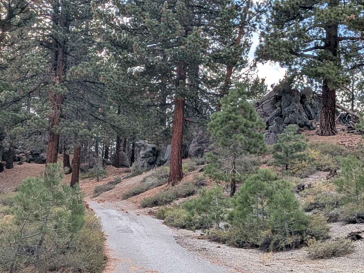
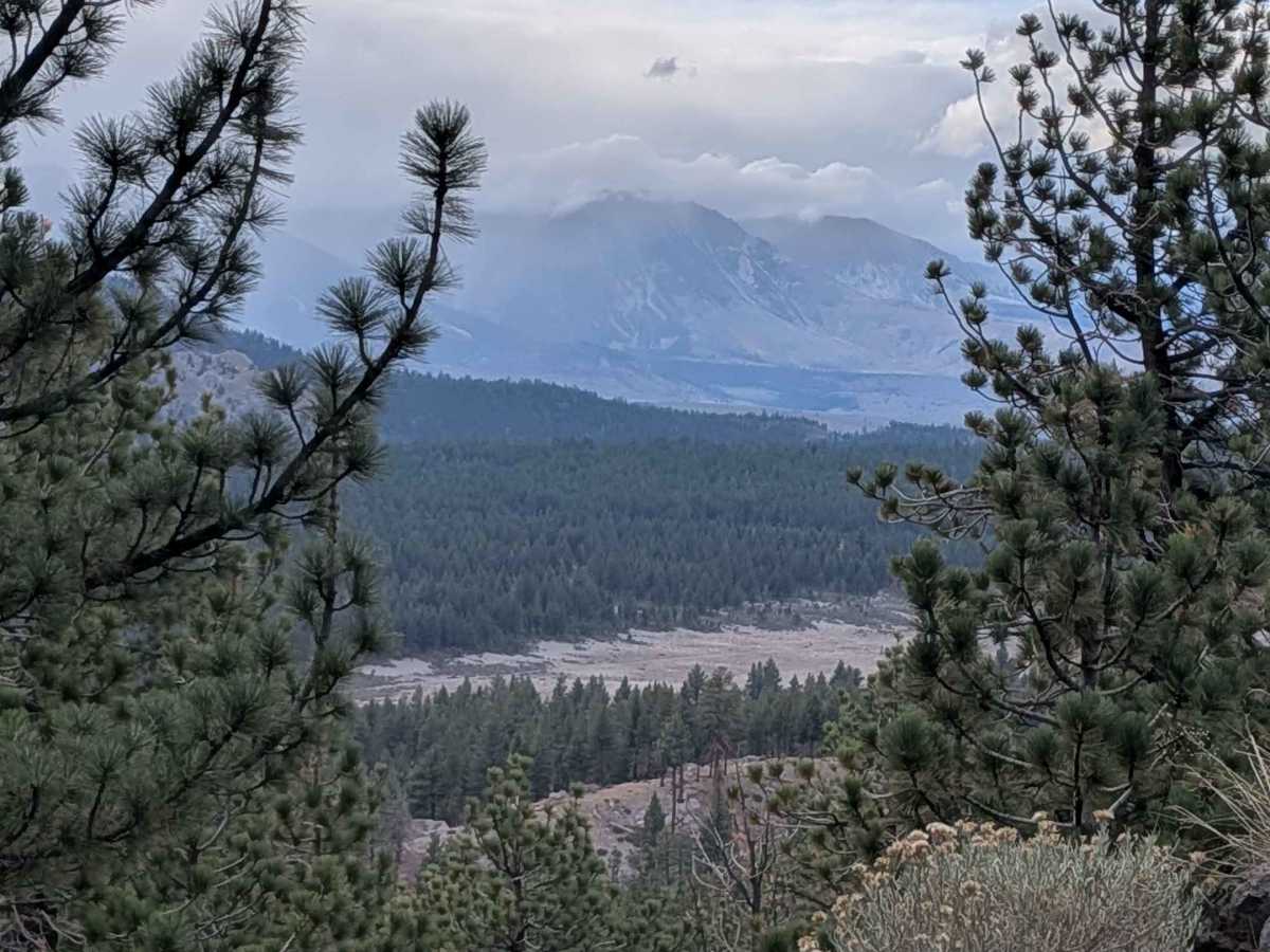
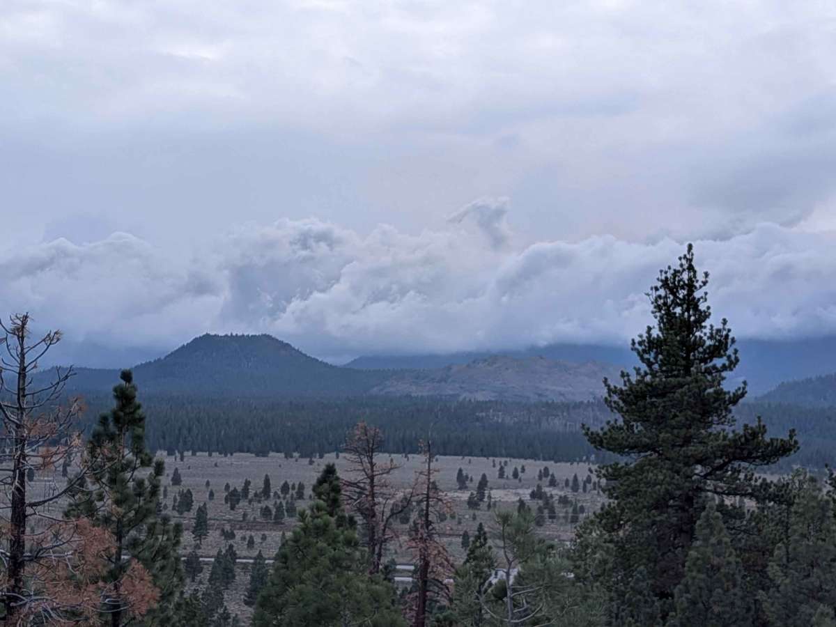
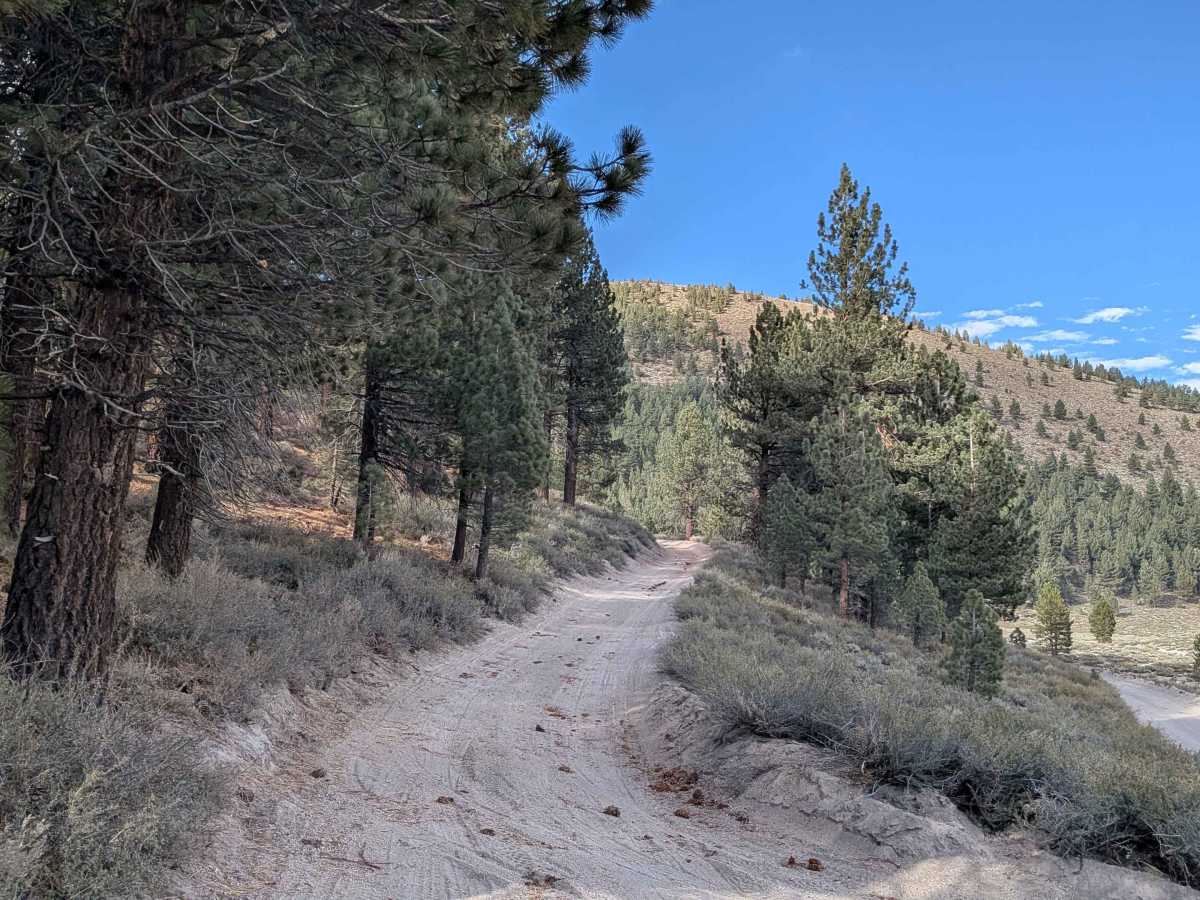
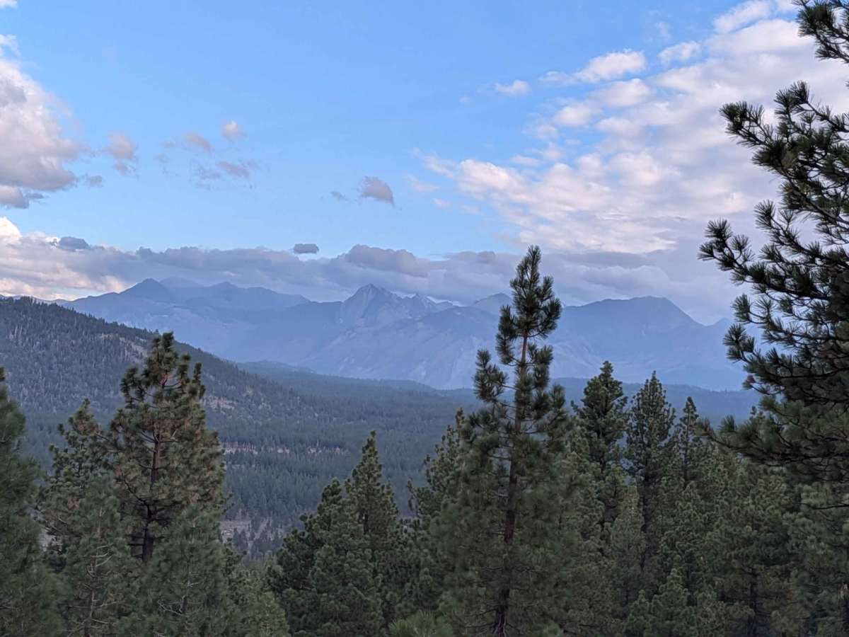
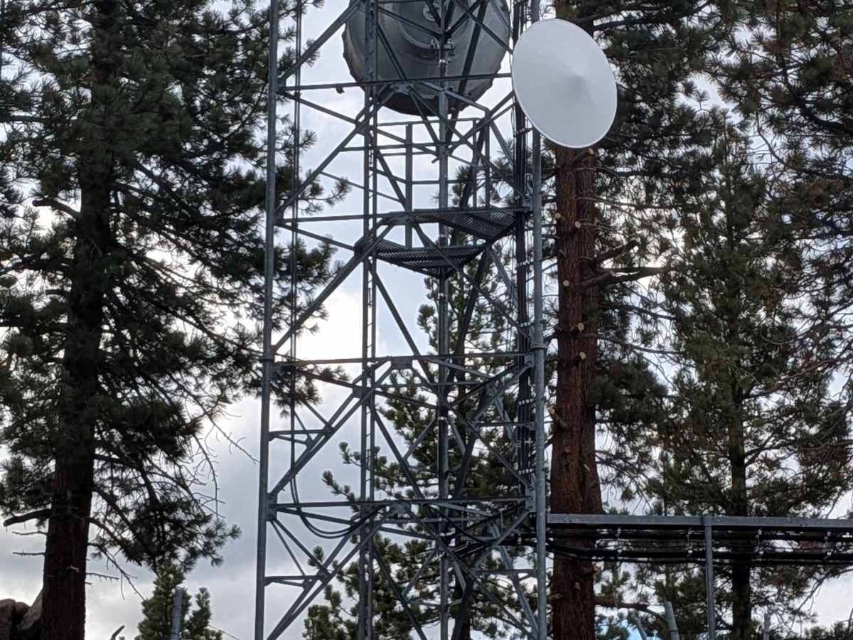
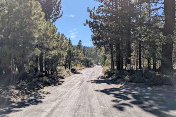
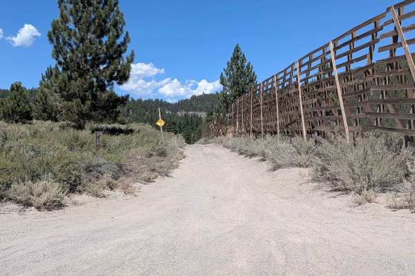
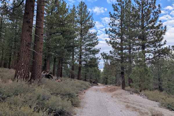
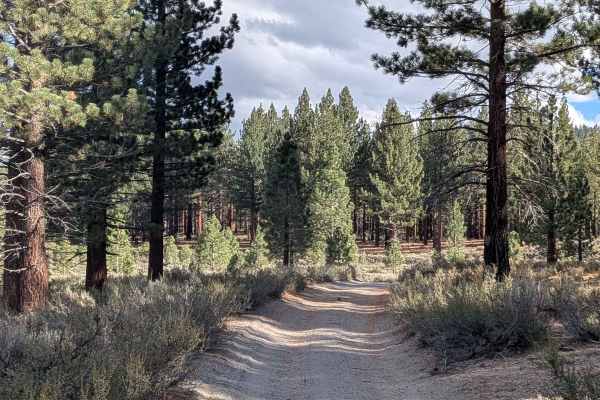
This 3.25-mile trail (6.5 miles out and back) climbs over 1000 feet and drops 129 feet as it takes you high above the area to a radio tower. Starting just off Highway 395, the trail passes the Matrimony climbing wall early on. The trail is just over one vehicle wide and made of sand and pumice, running through a young pine forest lined with brush and trees. At mile 0.9, it starts climbing toward the radio tower and transitions onto a shelf road that's mostly sand and pumice with some rocks mixed in. You'll encounter ruts, washboards, some off-camber sections, and switchbacks as you gain elevation. The trail is currently closed 1.9 miles up due to a large tree down. The last 3/4 of a mile to the top is old paved asphalt that's falling apart. You can still get to the top by coming via the Alpers Canyon Trail.
Difficulty
This trail is more challenging than most in the area due to the significant elevation gain, switchbacks, and shelf road sections. The combination of off-camber sections, ruts, and washboards on the climb requires attention. The deteriorating asphalt near the top adds another layer of caution. Currently impassable at 1.9 miles due to the downed tree.