Trail Overview
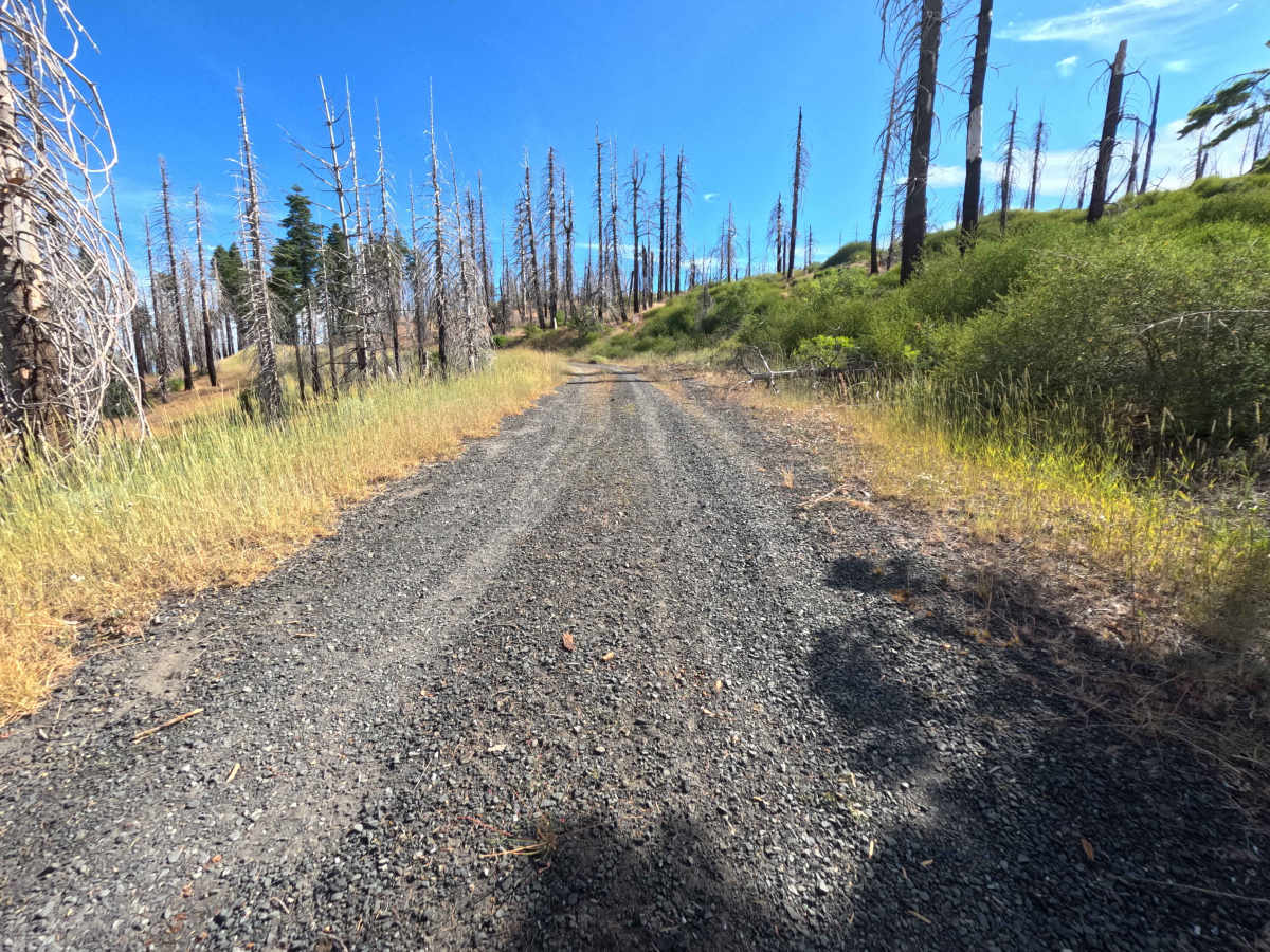
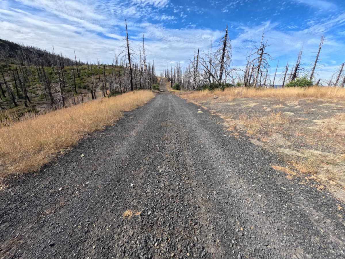
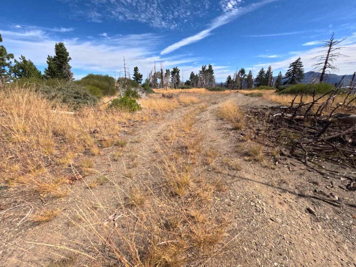
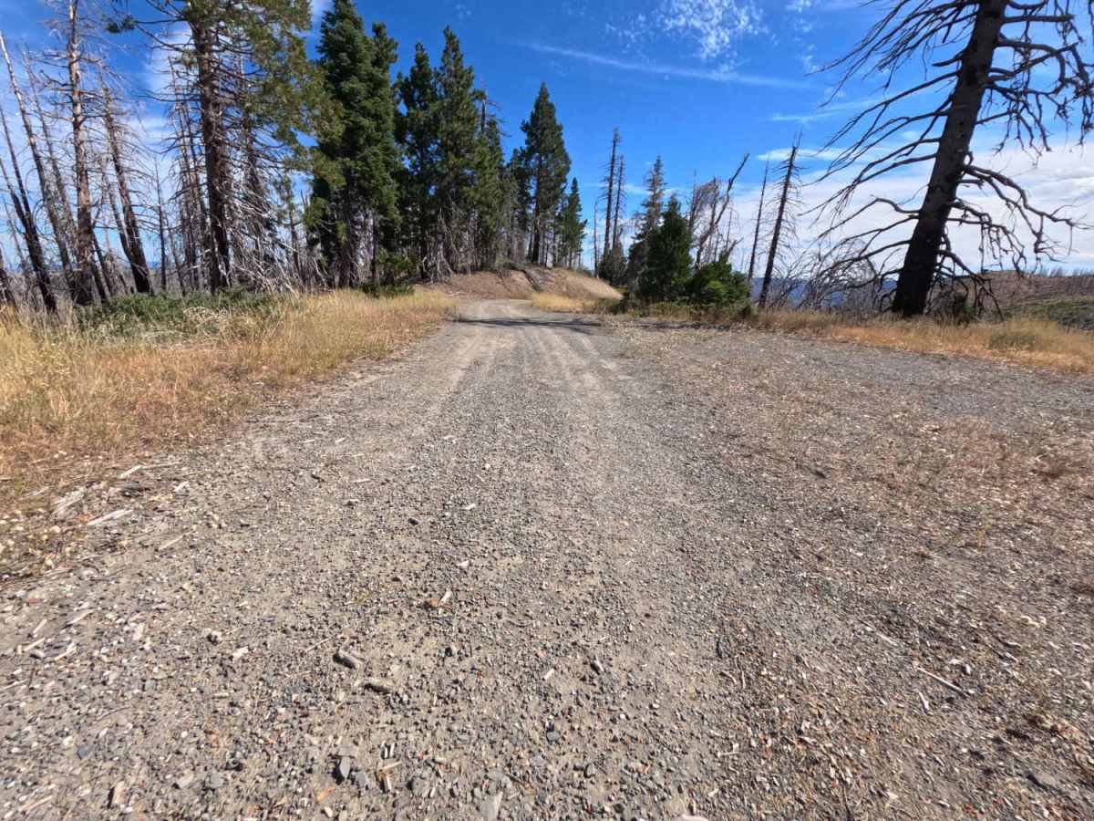
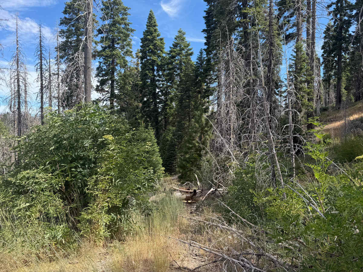
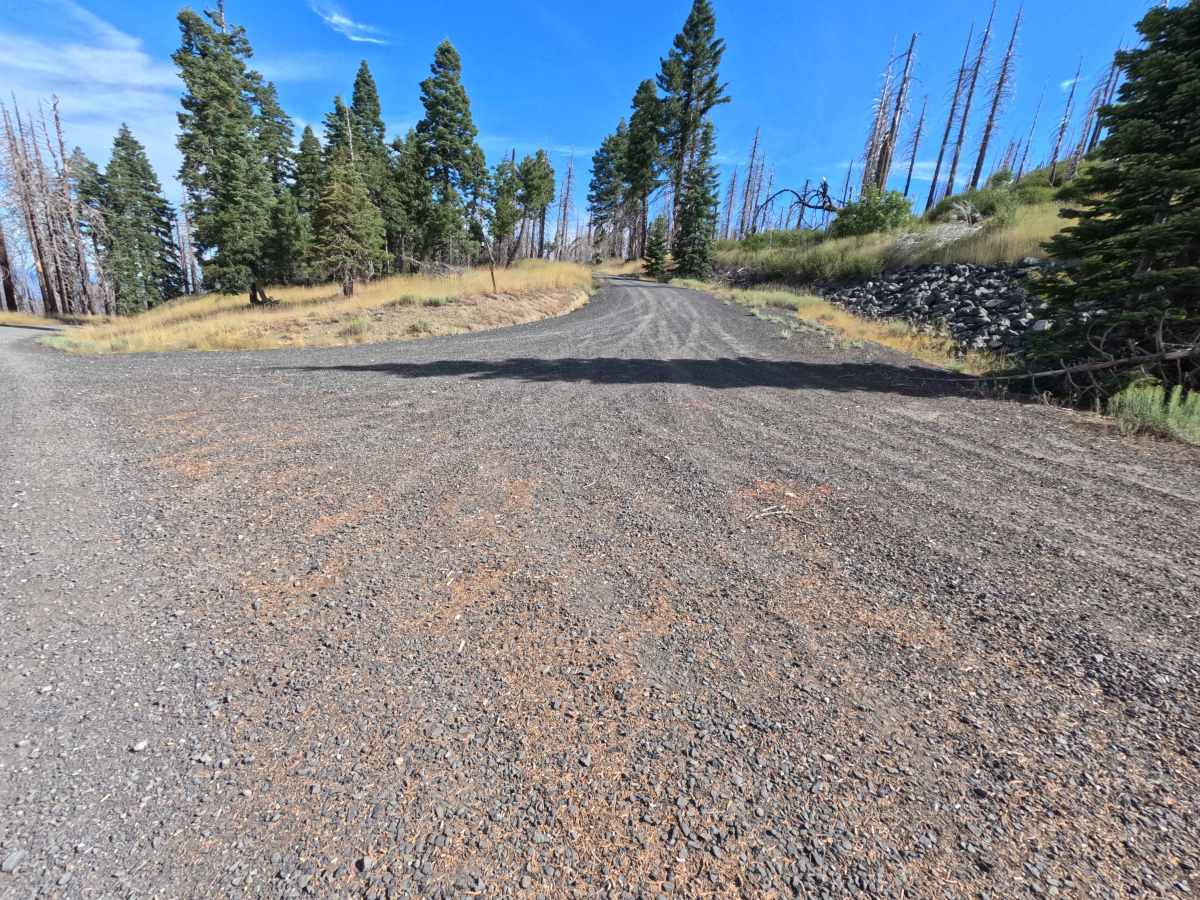
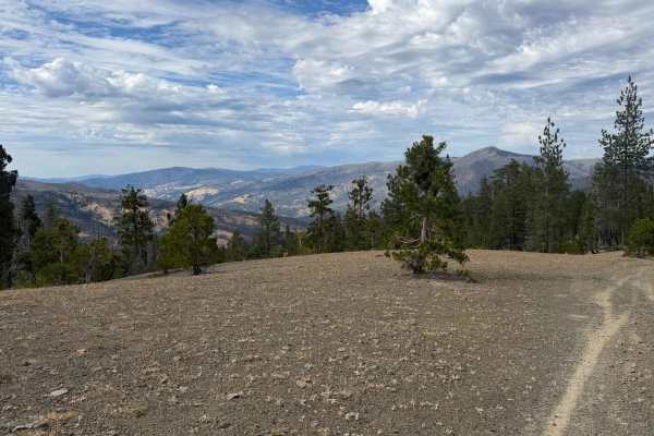
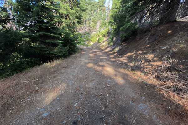
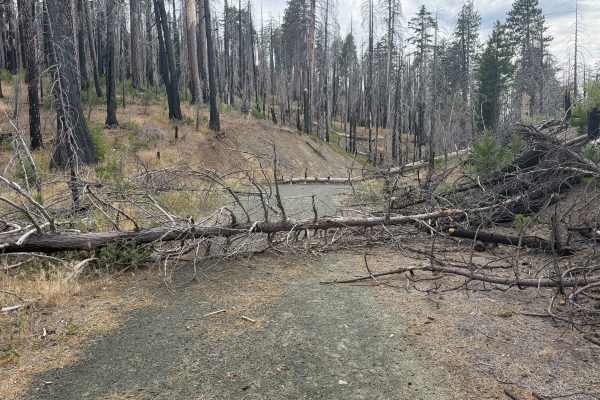
Coyote Rock - FS 20N78 turns directly off Forest Highway M1, climbing gently upward as an out-and-back single-track spur along Charcoal Ridge. Situated within Mendocino National Forest, the surrounding landscape features a high-elevation pine forest actively recovering from the 2020 August Complex Wildfire, characterized by towering snag trees and thick, regenerating undergrowth. The route begins on a fine gravel surface before winding past several primitive dispersed campsites featuring established fire rings and expansive, panoramic mountain vistas. As the path progresses downhill past mile 2.3, dense buckthorn bushes and thick vegetation heavily encroach upon the corridor, eventually becoming too overgrown for driving. Public land visitors frequently explore this scenic ridgeline route to seek out secluded off-grid camping spots or enjoy sweeping forest views.
Difficulty
Coyote Rock - FS 20N78 carries a Difficulty 2 rating, featuring a single-track gravel and dirt surface that starts out smoothly graded but gradually becomes more technical. Around mile 0.8, drivers will encounter a sharp cross-road rut measuring roughly 12 inches deep, which requires careful line choice and adequate ground clearance to negotiate smoothly. Beyond mile 2.3, the road becomes significantly narrow and overgrown with dense brush.

 Offroad